
Hill: Beinn a’Bha’ach Ard
Saturday 20th September 2008
Company: Myself, Jim & Ian
After reviewing the NW Highlands MWIS forecast on Friday evening, and looking out of the window of Torridon Youth Hostel on Saturday morning, we abandoned Torridon and headed East in the hope that we could escape the low cloud and catch a glimpse of the sun. We travelled to Glen Strathfarrar, where we parked in the car park next to the locked gate that the Estate uses to control vehicular access into Glen Strathfarrar.
Car Park at Inchmore (beside Glen Strathfarrar gate):

From Inchmore we followed the road for circa 2km as far as the Culligran Power Station and then took the land-rover track to the right of the power station tunnel.
Culligran Power Station:

We followed the land-rover track for over a kilometre, using the GPS to confirm when we were at 366401, the grid reference detailed in the SMC Corbetts book as the point where you “strike NNW up the hillside”. We didn’t find any sign of a track up the hillside and ended up walking through wet grass and heather up the lower slopes of Beinn a’Bha’ach Ard. We passed the surveyor’s marker at 400m mentioned in the SMC route (a cement block with an iron pole stuck on top) but didn’t find any “exposed slabs”.
View from lower slopes of Beinn a’Bha’ach Ard:

View from lower slopes of Beinn a’Bha’ach Ard towards Loch Beannacharan:

As we headed North, up pathless undulating terrain, we passed over the two minor tops on the way to Cnoc an Duine.
Jim and Ian:

Looking up Beinn a’Bha’ach Ard:

We stopped for a bite to eat just beyond the small top at 359425 and then continued in low cloud to reach the summit trig point of Beinn a’Bha’ach Ard. (Was surprised to find a trig point as there wasn’t one marked on my OS map)
Summit trig point:

Ian approaching in the mist:

At the summit, given the low cloud and lack of views, we had a short discussion about, “where to go from here”. Option 1 - Return the way we came Option 2 – Continue on to 835m top, 855m top and 713m top, … Option 3 – Take the most direct route off the hill back to the car We opted for Option 3. From the summit we made our descent to the col before the 835m top and then took a bearing for Loch na Beiste to hopefully pick up the track leading back to the car. We descended down easy grass slopes and then through heather and before long was out of the low cloud.
Looking towards Loch na Beiste and Glen Strathfarrar:

In just over 90 minutes we reached Loch na Beiste, which we skirted on it’s South-side to reach the path. Was nice to see the sun now shining.
Loch na Beiste:

Looking back to Beinn a’Bha’ach Ard from Loch na Beiste:

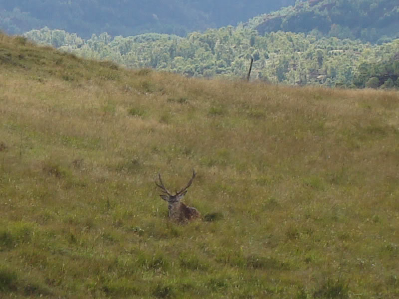
On following the path from Loch na Beiste back to Inchmore we had to go through a gate with a sign warning “Stags in field”. The sign was correct as there were several large stags in the field which were making plenty of noise (probably because in the next field there were several dozen hinds).
Stag in field:
On exiting the stag field, we continued down the path which took us out directly to the car park. A good day out but over much pathless terrain.