
Hill: Innerdouny Hill
Date: Wednesday 30th January 2013
Company: Just myself
Distance: 9.2km, Ascent: 280m
Time: 2Hrs
I had to travel to Edinburgh today to attend a conference tomorrow. En-route to Edinburgh, I stopped for a long lunch which allowed an ascent of Innerdouny Hill. I parked in the car park at Littlerig.
I was aware of several potential routes to the summit, having reviewed a number of trip reports for this hill on the internet and having studied the aerial view on Google Earth. Instead of taking a route involving firebreaks, I opted to follow the excellent track to its high point and then walk through a clearing to the summit.
Click here to see a map of the route undertaken
Littlerig car park:

On the Ordnance Survey map, the track is completely enclosed by forest. However, owing to significant recent felling this is no longer the case. Much of the track now has trees at one side only.
Track beyond Littlerig:

Looking towards summit of Innerdouny Hill (above the trees):

Just over one kilometre into the walk, the track beyond was covered with a couple of inches of wet snow.
Following deer tracks along the track:

On reaching the track high-point, I left the track and followed a number of parallel lines leading towards the summit.
Clearing leading to the summit:

A short distance from the summit, I crossed over a dry-stane dyke. I believe there is another route up this hill which follows a section of this dyke.
Dry-stane dyke:

Approaching the summit of Innerdouny Hill:

I didn’t spend long at the summit as it was very windy up there today. It was nice to look across to the Ochils, which I traversed in December 2011. The summit is the ground 1m from the trig point.
View from the summit of Innerdouny Hill:

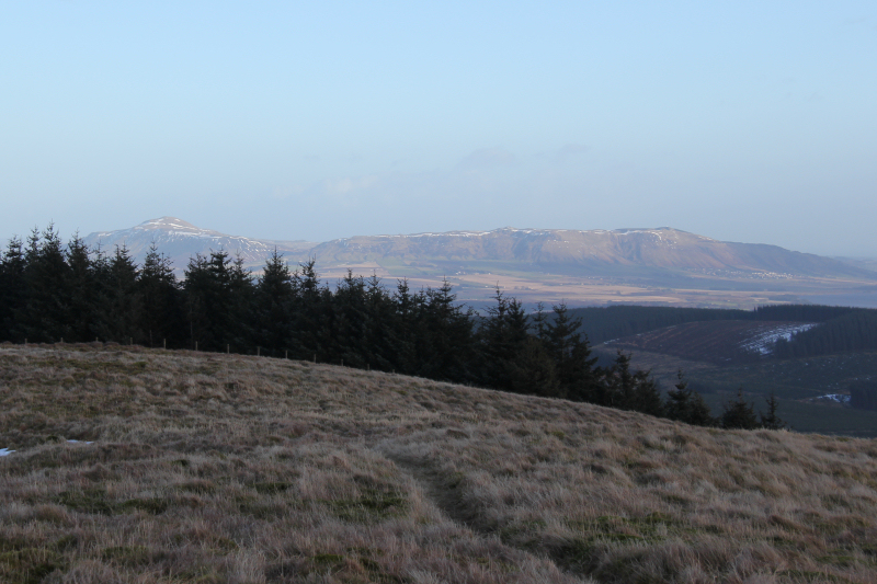
View towards the Lomond Hills and Benarty Hill:

View towards the Lomond Hills (zoom):
View across to the Ochils:

From the summit, I returned to the car via the same route. Great to get up a hill on a lunchbreak