Hill: Beinn Airigh Charr
Date: Friday 4th April 2008
Company: just me
Time: 6hrs 30mins
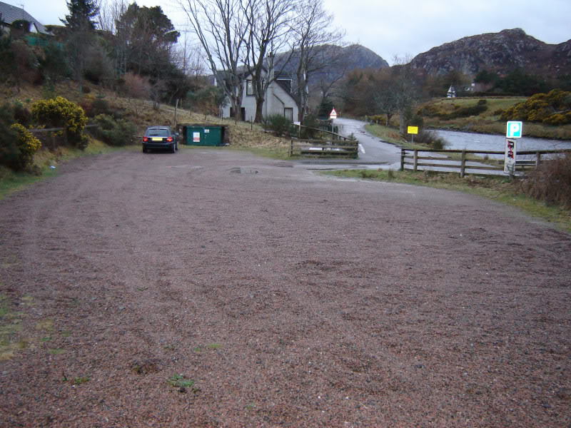
Parked in the large car park in Poolewe across from the River Ewe.
For info: Sign in car park states no camping, motorhomes/caravans between 22:00 and 6.00.
Poolewe car park:
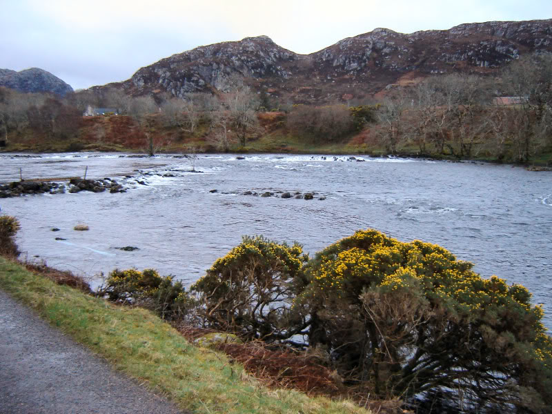
Set off walking at 6.45am along the tarmac road towards Inveran (which runs alongside the River Ewe).
River Ewe:
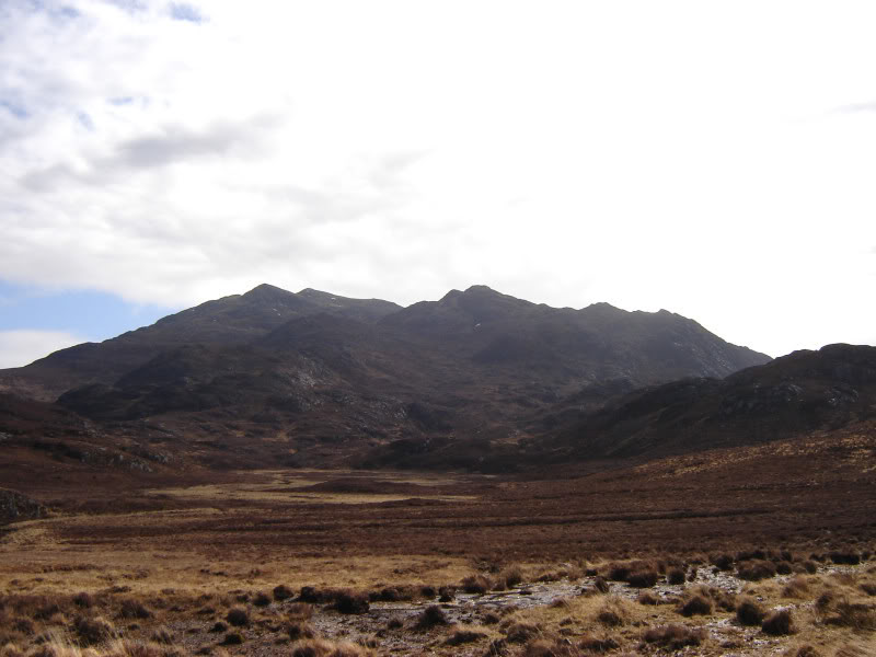
Just over 1km from the start, I got my first view of Beinn Airigh Charr.
Beinn Airigh Charr from road to Inveran:
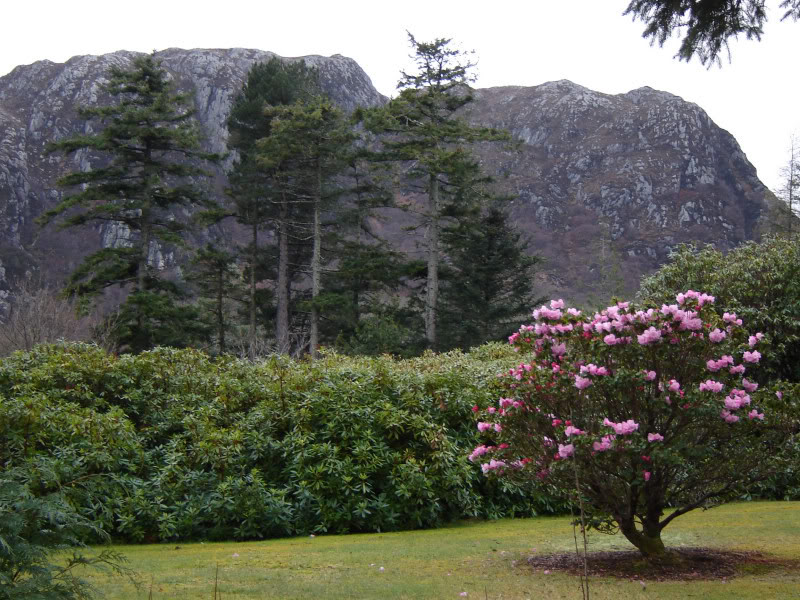
The walk to Inveran passes through a nice forest of Birch with the odd Holly tree and Rhododendron bush. Just before reaching Inveran the road splits with the upper road taking you towards Kernsary (and Beinn Airigh Charr) and the lower road taking you to the house at Inveran. At Inveran I stopped to take a photo looking across to Creag Mhoir Thollaidh.
Looking across to Creag Mhoir Thollaidh:
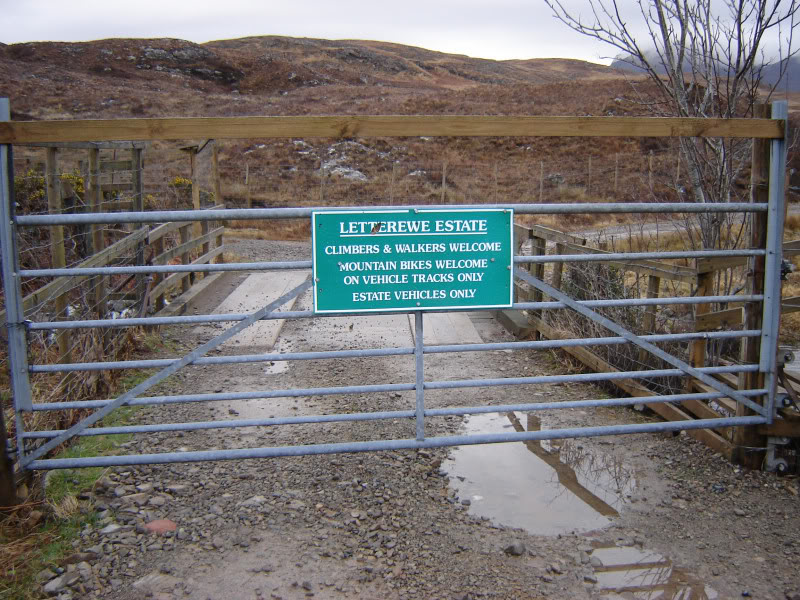
A few hundred metres further on there is a gate with a nice welcoming sign. Bit of a contrast from Alladale.
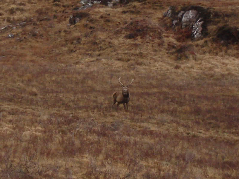
Within minutes of passing the gate I was being watched by numerous deer.
There is a faint path that bypasses Kernsary saving you a couple of kilometres. This starts just after Loch an Doire Ghairbh. Look out for a very small cairn that is just off of the path.
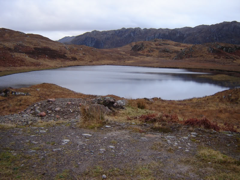
Loch an Doire Ghairbh:
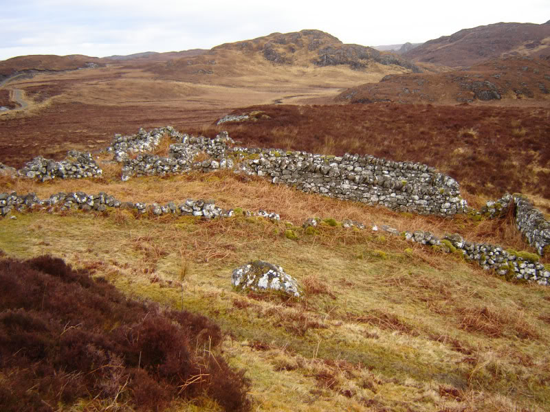
The bypass path is a bit wet underfoot and pretty-much disappears as you approach the track from Kernsary to Ardlair. Once back on the good track, running from Kernsary to Ardlair, stay on the track for circa 1km. A cairn just off the track marks the start of the stalker's path towards Beinn Airigh Charr. If you miss the cairn you may see the sheilings just above the path where you head uphill.
Sheiling just above start of stalker's path:
The SMC Corbetts book describes the stalker's path as "excellent". It is quite poor at the start until you reach the stream that you need to cross.
Stream crossing:

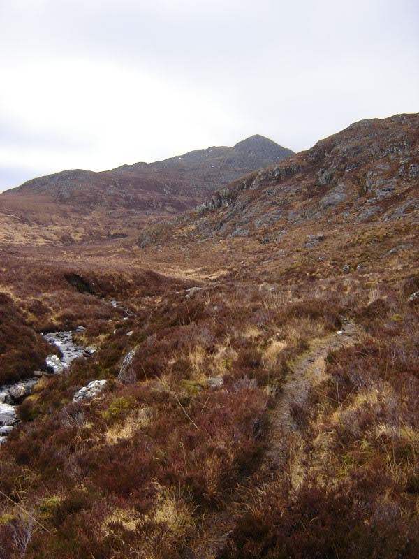
For the next few kilometres I followed the stalker's path with views of the Spidean nan Clach ridge ahead.
Stalker's path looking towards Spidean nan Clach:
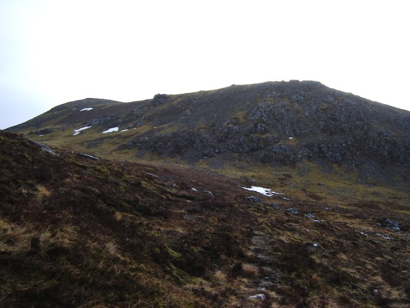
On reaching the flattish section at 450m, where the path disappears, I stuck to the left and a wee bit higher up found the path again. Next I passed between Meall Chnaimhean (an impressive-looking top) and Spidean nan Clach and then got my first views of the summit of Beinn Airigh Charr.
Looking towards summit of Beinn Airigh Charr:
The next short section involved pleasant walking up grassy slopes.
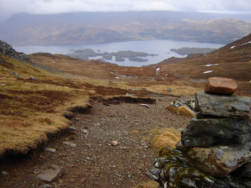
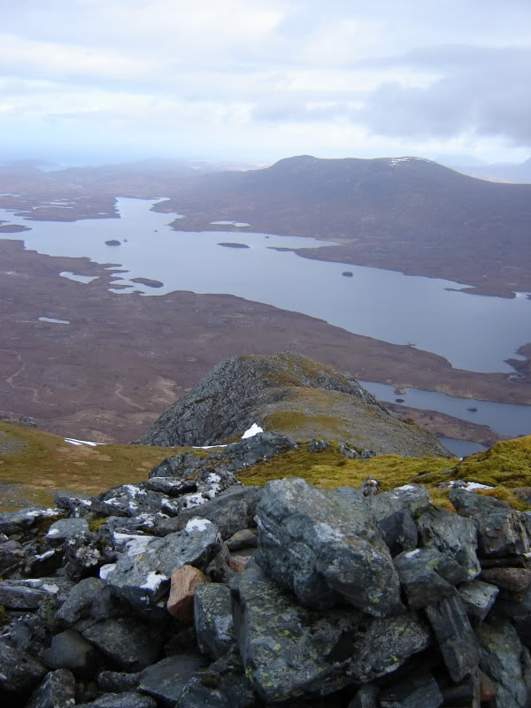
View down to Loch Maree from cairn en-route to summit:
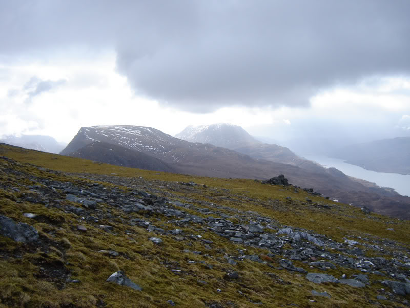
As I approached the summit I got my first view of Beinn Lair and Slioch.
Beinn Lair and Slioch:
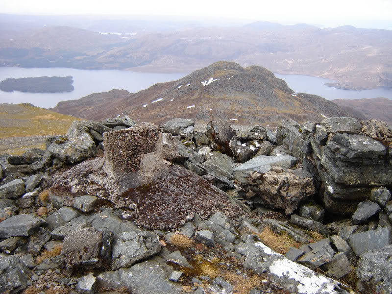
Was suprised to find the trig point at the summit in pieces. Took a few photos at the summit.
Summit of Beinn Airigh Charr looking across to Meall Chnaimhean and Loch Maree:
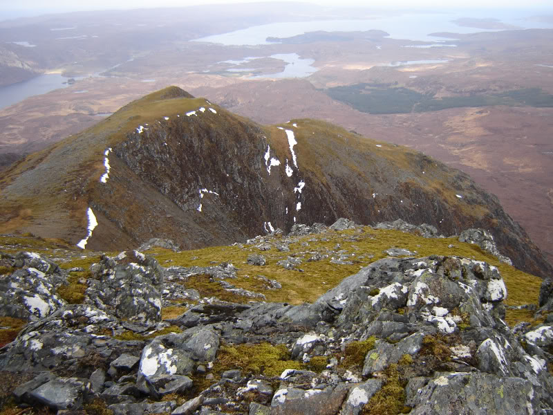
Spidean nan Clach from summit of Beinn Airigh Charr:
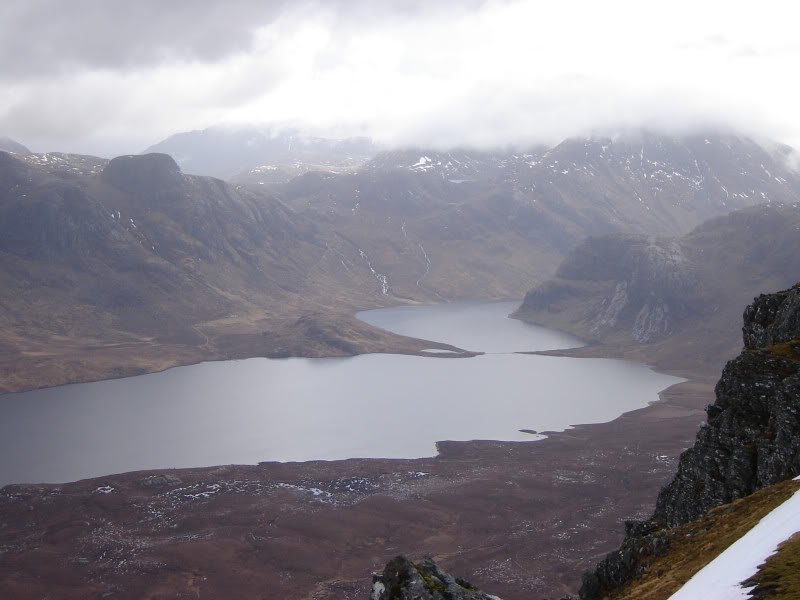
Fionn Loch from summit of Beinn Airigh Charr:
Fionn Loch, Dubh Loch and Carnmore from summit of Beinn Airigh Charr:
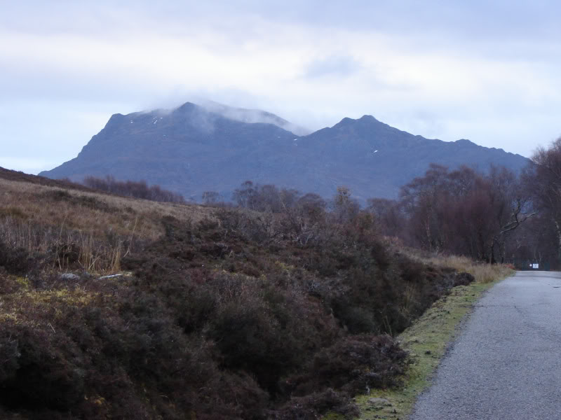
On the way back the skies cleared for a moment providing a view of Beinn Airigh Charr.
Beinn Airigh Charr: