
Hills: Croft Head, West Knowe, Loch Fell, Wind Fell, Capel Fell, Smidhope Hill
Date: Thursday 15th October 2009
Company: Just me
Time: 6Hrs 20Mins
Click here to see a map of the route undertaken
Arrived at Selcoth Fish Farm at 08:00 this morning where I parked after asking permission and getting the ok.
Track to Selcoth:

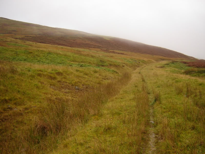
After walking to Selcoth, I passed through a couple of gates and ascended the track towards the Steinstane burn.
Track ascending Croft Head from Selcoth:
Looking back to Selcoth and across to Moffat Hills:

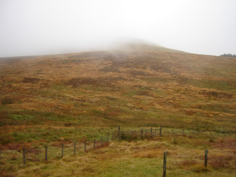
Visibility was pretty good during the initial ascent and there was some inversion further along the A708. I ascended the ridge between the Selcoth burn and the Steinstane burn.
Looking up Croft Head:

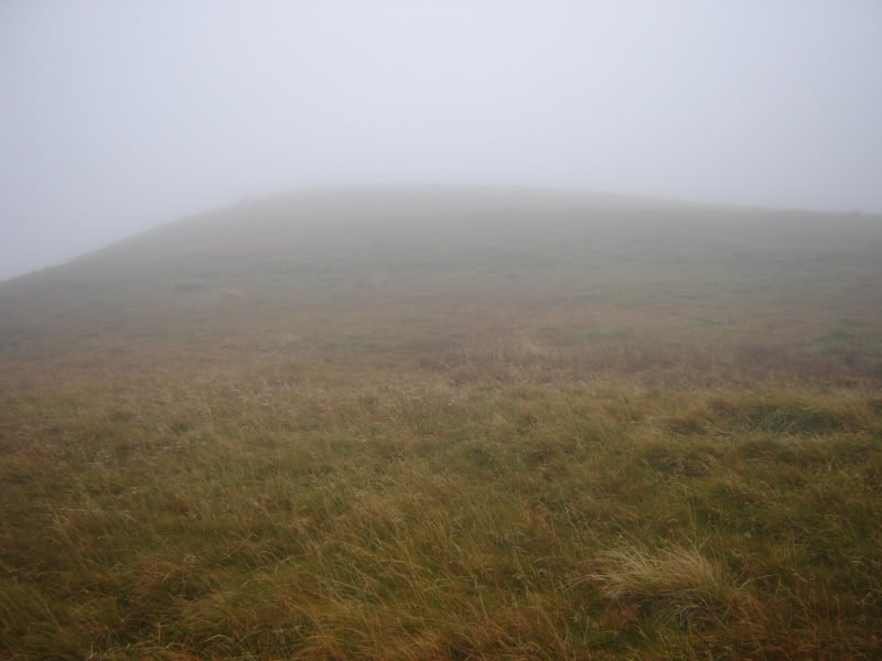
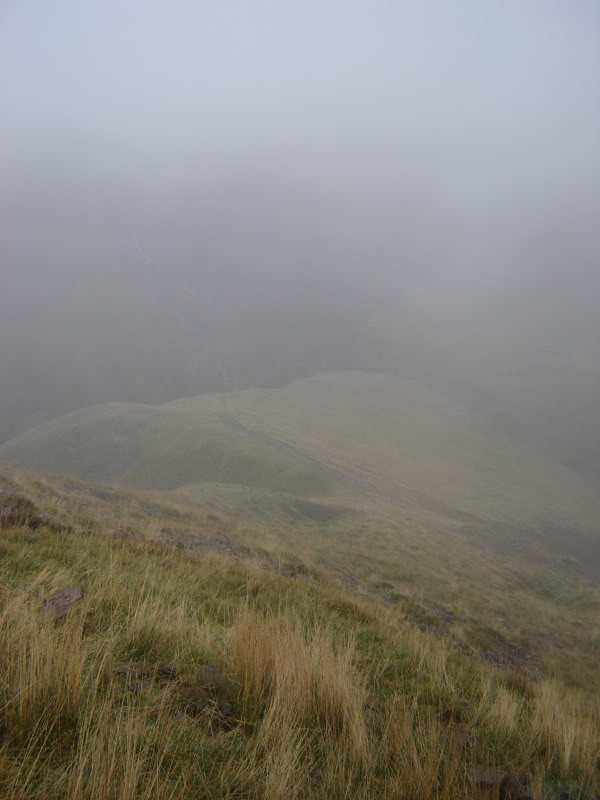
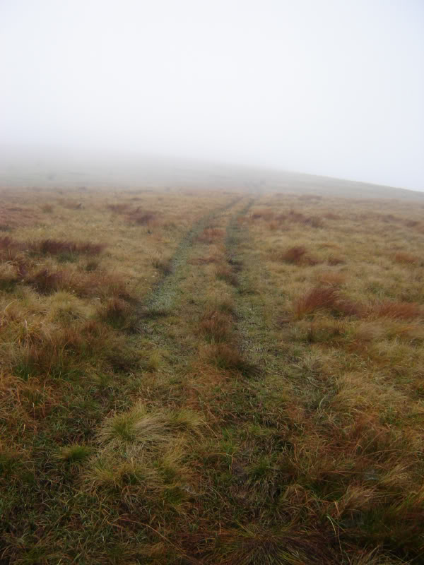
Unfortunately, on reaching a height of around 500m, I entered low cloud. Instead of getting nice views the walk became a navigational exercise.
Croft Head in low cloud:
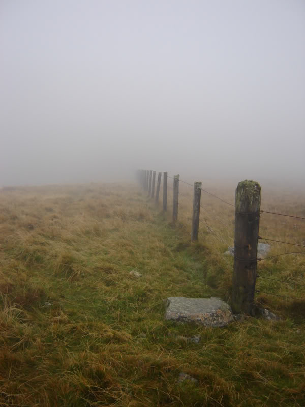
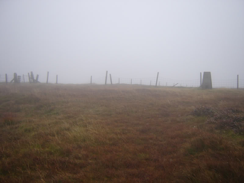
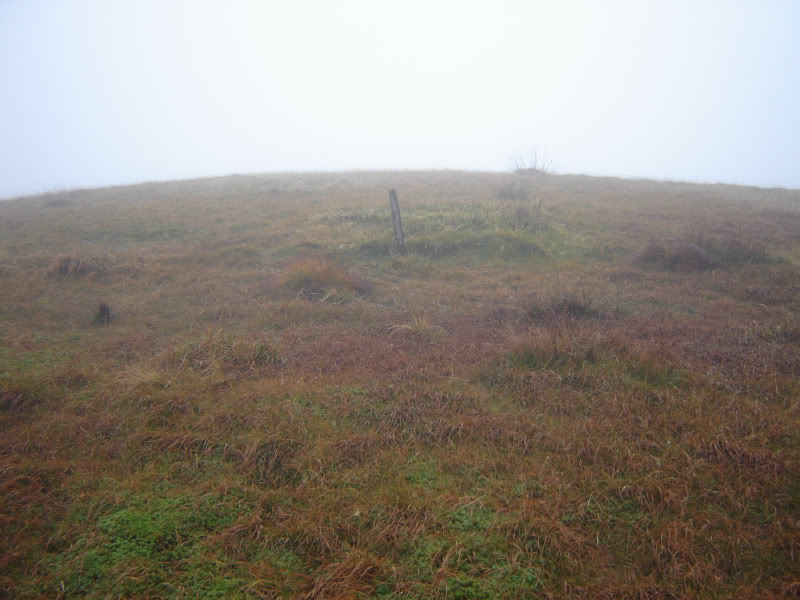
A short distance from the summit, I come upon a fence which I followed to the cairn-less summit of Croft Head.
Fence leading to summit of Croft Head:
Summit of Croft Head:
I really enjoyed the zig-zag descent of Cat Shoulder.
Looking down Cat Shoulder from Croft Head:
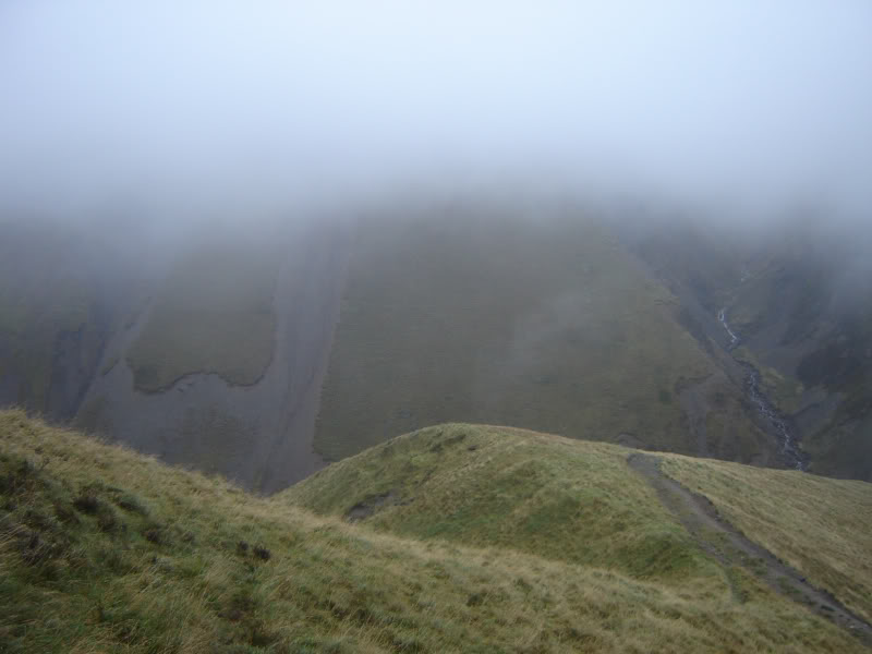
Was very disappointing though that the Craigmichen scar was only partially visible.
Craigmichen Scar from Cat Shoulder:
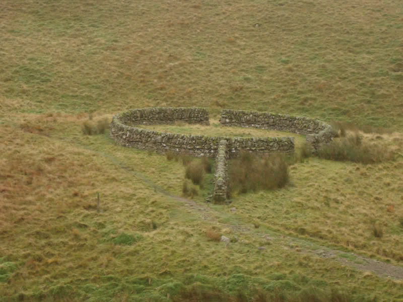
There is an interesting circular stone sheepfold at the col between Croft Head and West Knowe.
Circular sheepfold:

Circular sheepfold:
Looking back up Cat Shoulder of Croft Head:

At the col between Croft Head and West Knowe, I was low enough to get a view below the cloud.
Selcoth burn:

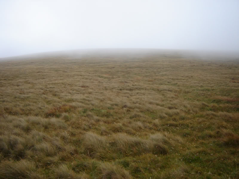
I followed the Southern Upland Way as far as a cairn in the middle of the path before heading up the grassy slopes of West Knowe. Again there was no cairn at the summit. Spent a bit of time walking about in the mist to ensure I did visit the highest point.
Summit of West Knowe:
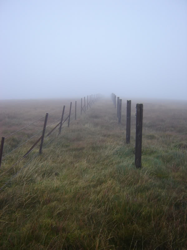
The walk over to Loch Fell was straight-forward. I followed the fence-posts until reaching the only trig point of the day.
Approaching trig point at summit of Loch Fell:
By the time I reached the summit of Loch Fell I was starting to get really scunnered. My boots were full of water and I was getting zero views. I decided to carry-on to Wind Fell, following the two lines of fence-posts.
New and old fence descending Loch Fell:
New and old fence ascending Wind Fell:

On reaching the cairn-less summit of Wind Fell, I decided to leave Hopetoun Craig and Ettrick Pen for another day (possibly with a stay at Over Phawhope bothy). I really didn’t fancy losing so much height by dropping down to the bothy.
Fence near summit of Wind Fell:

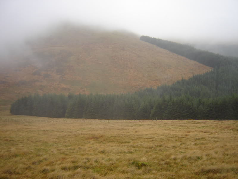
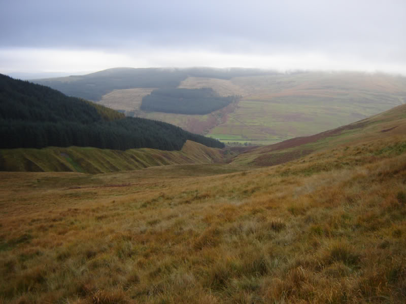
I descended to the col at Ettrick Head before ascending a track up Capel Fell.
Descending to Ettrick Head:
Looking back to Wind Fell:
Looking up Capel Fell from Ettrick Head:
Track ascending Capel Fell:
The ascent of Capel Fell was pleasant, as there was a track leading up it. Again there was no cairn at the summit.
Summit of Capel Fell:
From Capel Fell, I headed for my final hill of the day, Smidhope Hill. Was nice to find a dry-stane dyke leading to the summit instead of a rusty fence.
Dyke ascending Smidhope Hill:

Dyke ascending Smidhope Hill:

After reaching the cairn-less summit of Smidhope Hill, I decided to descend West towards the top of the forest where I hoped that I would be able to access the forest landrover tracks. Unfortunately, this was not possible as the forest was thick. Instead I carried on descending towards Sailfoot Linn. The descent was very wet underfoot. About half-way down I reached an electric fence which I followed as far as a dry-stane wall running across the hill. I then followed a track through high bracken to reach some fields with cattle in them. Had to cross through a couple of these fields before I reached the track and bridge across the Moffat Water at Capplegill. Then walked along the A708 for a couple of kilometres to get back to Selcoth Fish Farm.
Descending from Smidhope Hill:
Looking back at descent:

Croft Head from A708:

Disappointing visibility but happy to have ascended six New Donalds.