
Hill: Beinn Dearg (Trossachs)
Date: Friday 5th November 2010
Company: Just me
A short day out in the hills today - but might head out again this afternoon if the weather improves
Click here to see a map of the route undertaken
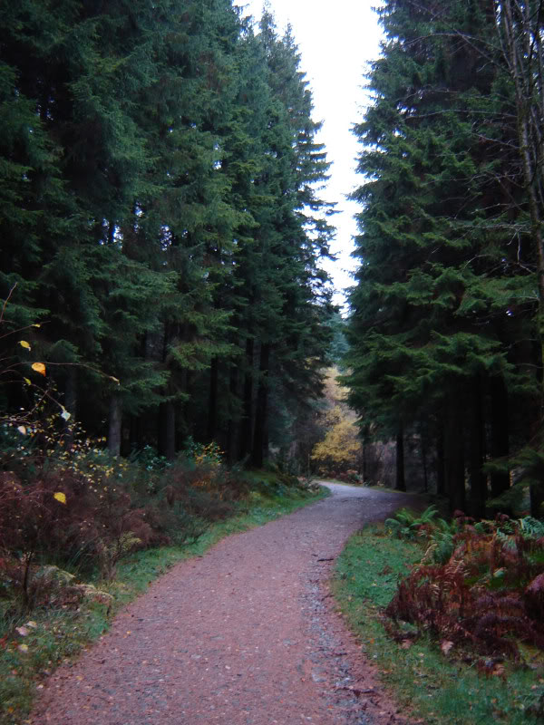
I parked at the start of the vehicle track that leads to the masts on Ben Gullipen. The weather wasn't too bad at the outset.
Ascent through forest towards Ben Gullipen:
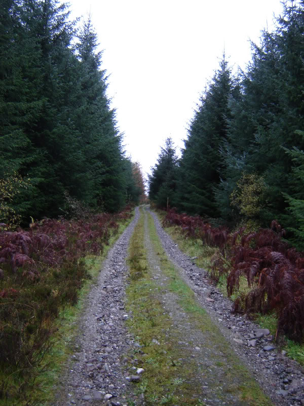
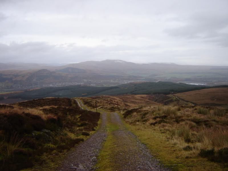
The track as far as Ben Gullipen is pretty-good, albeit quite wet today.
Looking across to Ben Ledi from track:
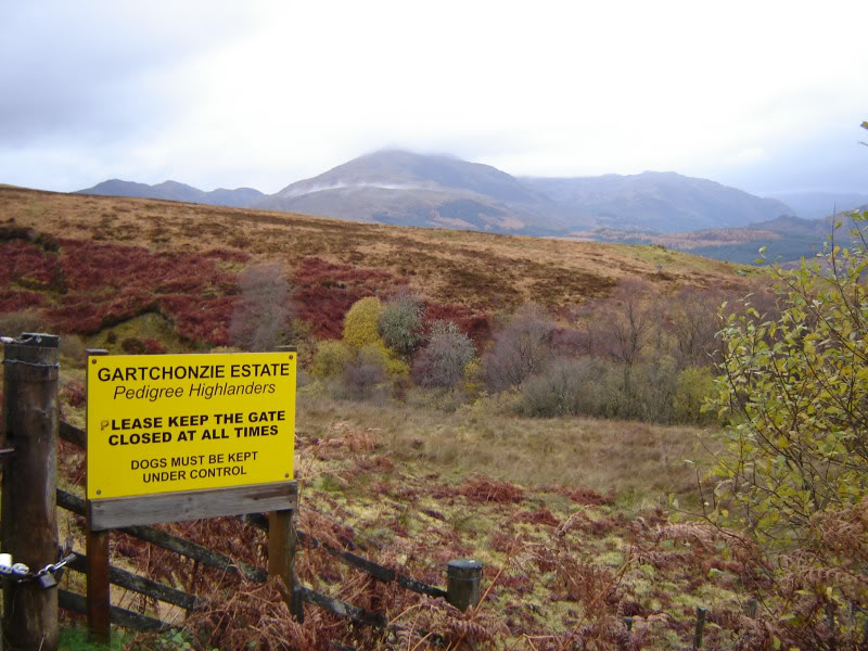
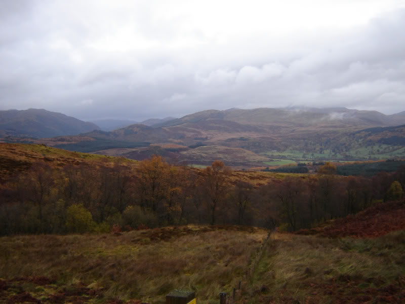
View from track:
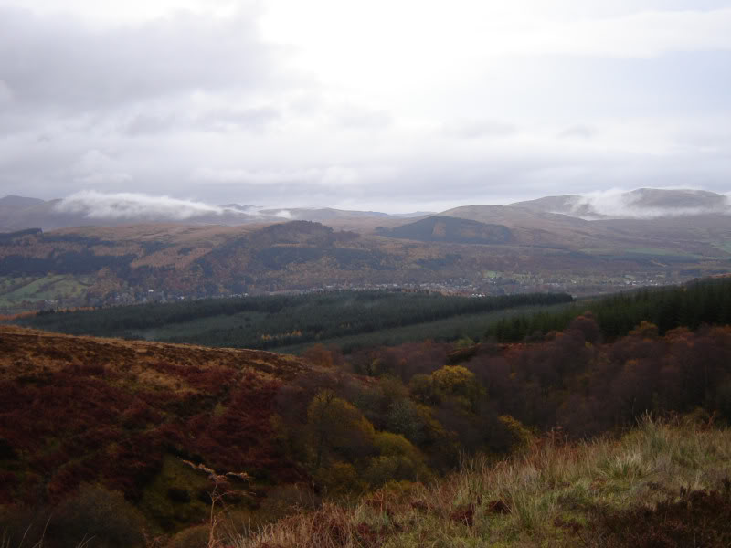
Callander:
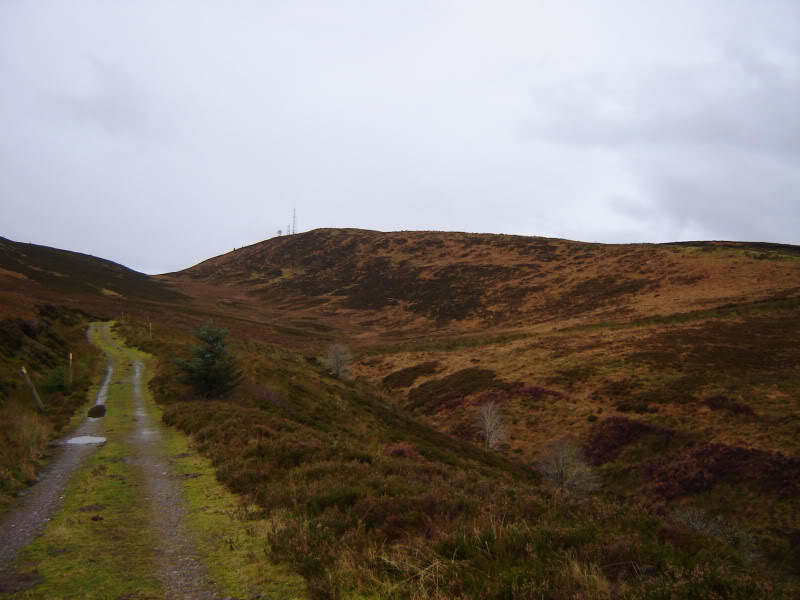
Looking towards Ben Gullipen:
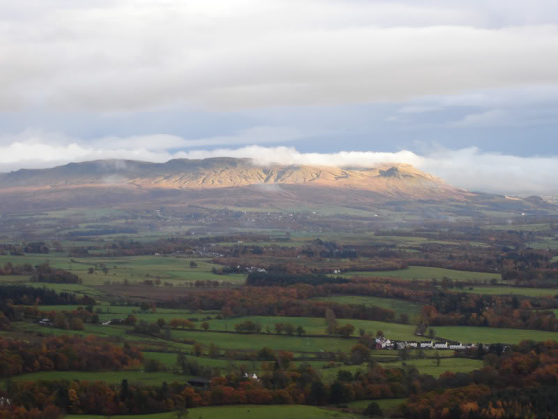
Looking back towards Callander and Beinn Uamha:
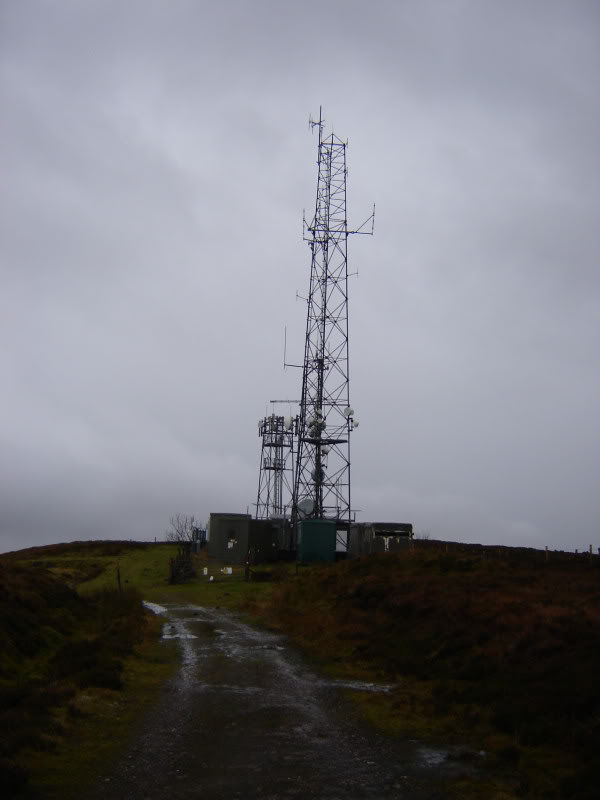
There are three sizeable masts at the summit. Masts at summit of Ben Gullipen:
The walk from Ben Gullipen to Beinn Dearg was a walk through clag.
There is a small top in between Ben Gullipen and Beinn Dearg which can be ascended or skirted round.
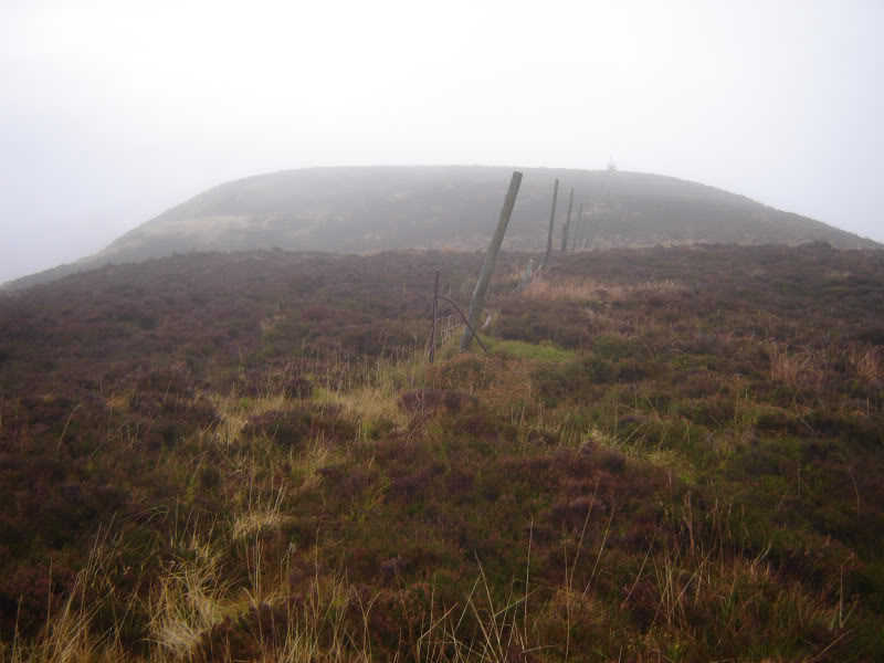
Beinn Dearg from Ben Gullipen:
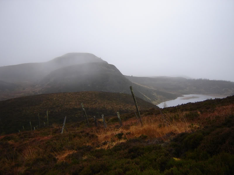
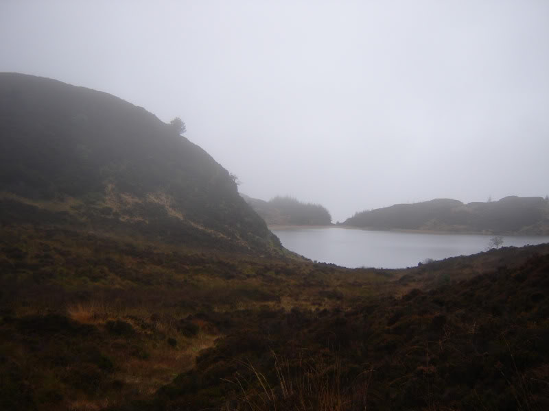
Lochan Balloch:
Approaching summit of Beinn Dearg:
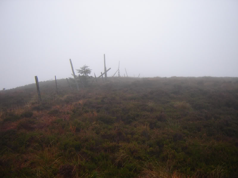
The summit of Beinn Dearg is at a meeting of three fences. No views today
Looking back from summit of Beinn Dearg:
On the way back from Ben Gullipen to Beinn Dearg, I had a bit of a Groundhog day moment
I descended to what I thought was the col and then re-ascended what I thought was Ben Gullipen. Turns out I ended back at the summit of Beinn Dearg. Serves me right for walking in the clag without a compass or GPS
From Ben Gullipen back to the car it was really chucking it down. Back to Trossachs Tryst to dry out a bit
Hill: Conic Hill
Date: Friday 5th November 2010
Company: Just me
Having ascended Beinn Dearg this morning, I set off this afternoon for it's neighbouring Marilyn, Craig of Monievreckie. When I got to the starting point the rain was pi$$in' down. I therefore kept on driving round to Balmaha for an ascent of Conic hill instead. Was glad I did as it is a cracking wee hill
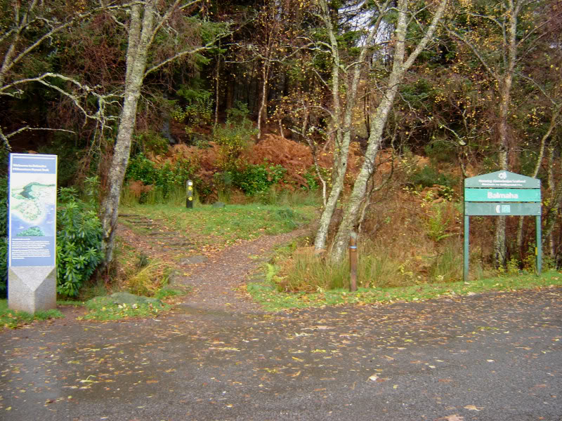
I parked in the large car park at Balmaha and set off along the West Highland Way track.
Start of walk from large car park at Balmaha:
West Highland Way track:
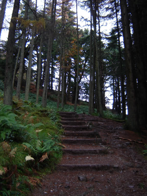
On reaching a track junction, I took a left to ascend up through the forest.
Steps through the forest:
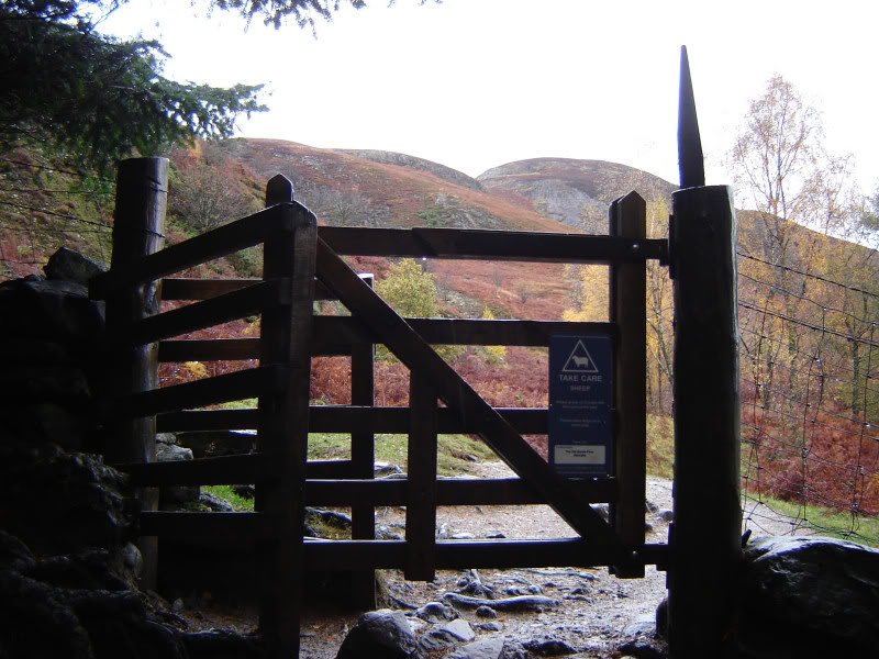
Gate beyond forest:
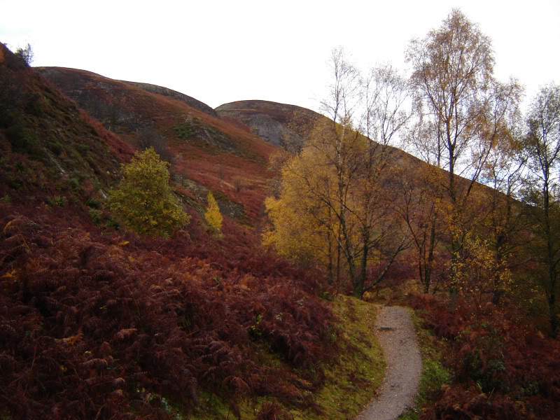
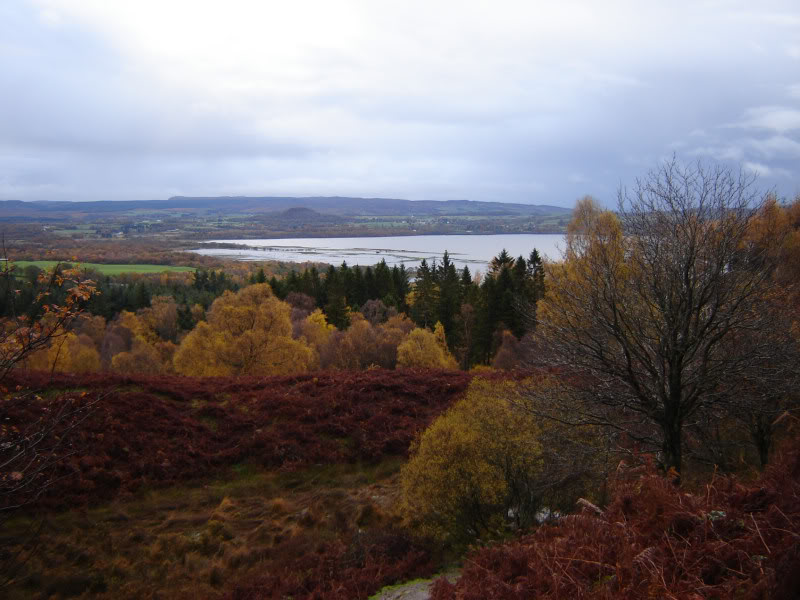
I thought the autumn colours were nice today.
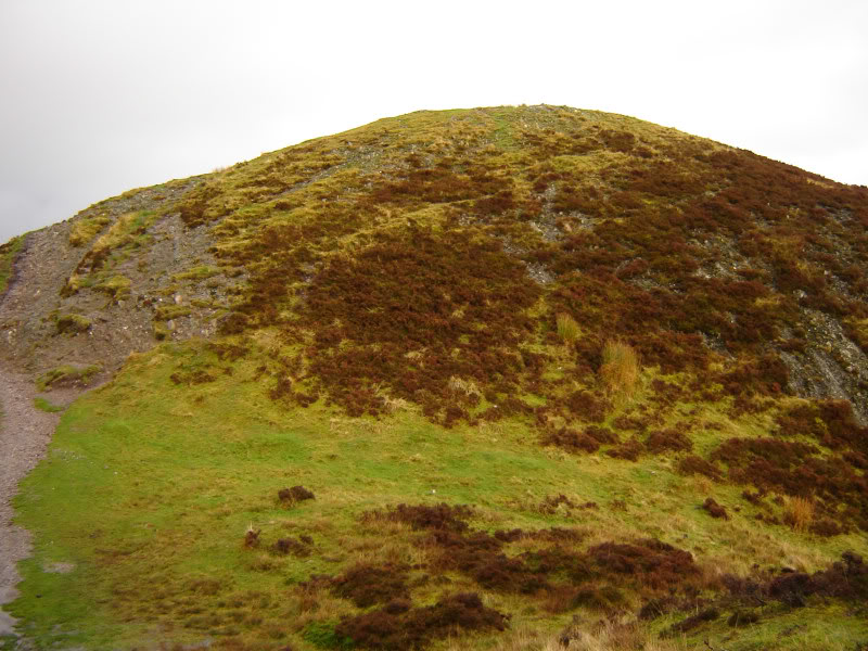
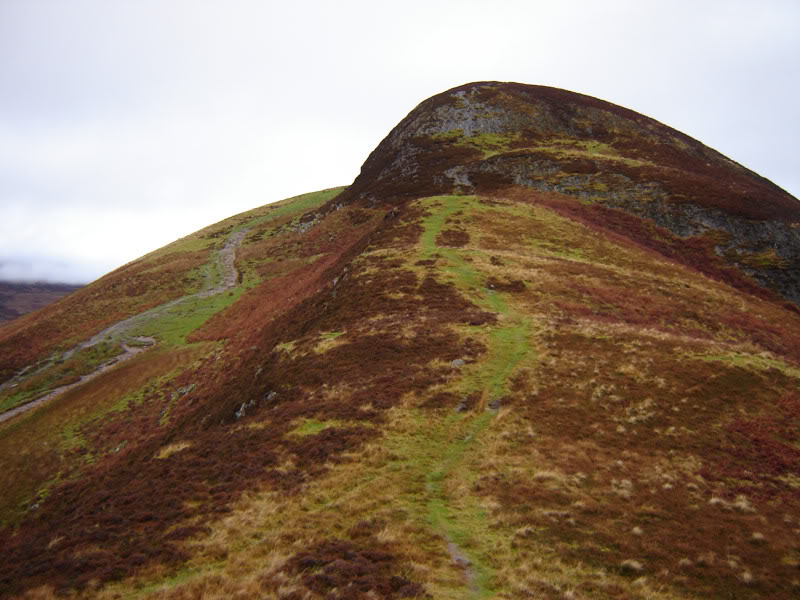
Conic hill:
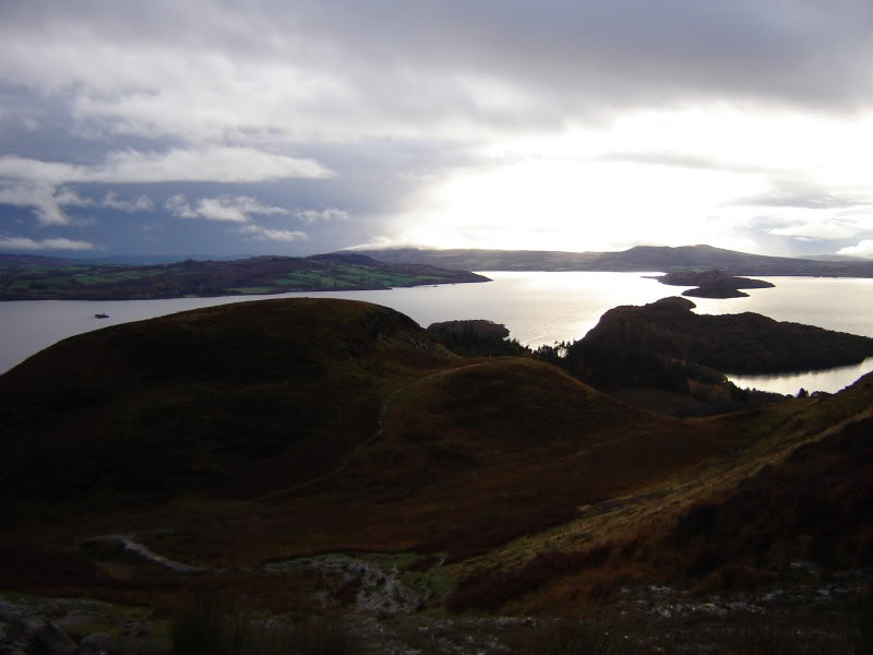
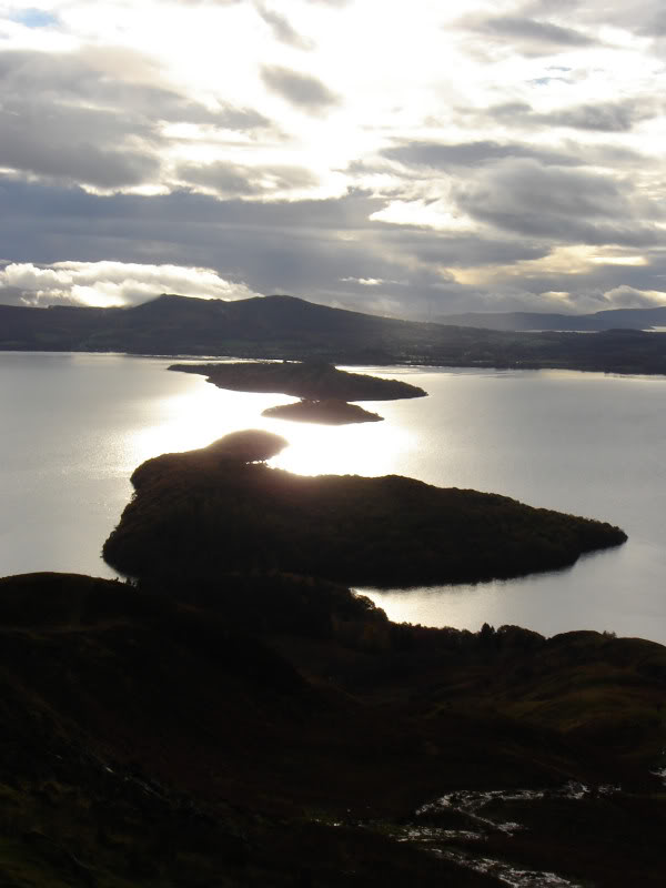
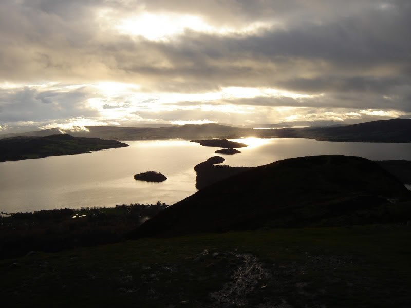
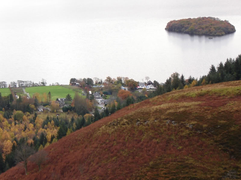
As I ascended, Loch Lomond come into view. Conic hill is a great viewpoint for Loch Lomond and its' islands.
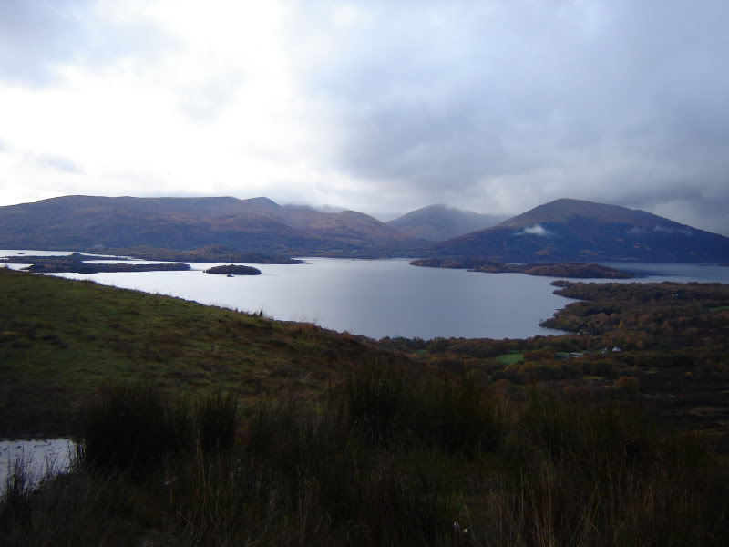
Loch Lomond:
Loch Lomond islands:
Loch Lomond:
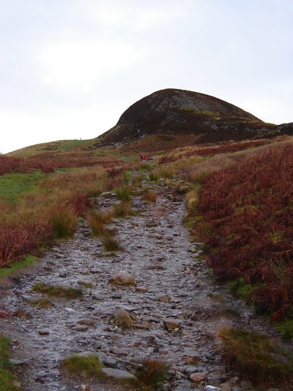
I followed the wide wet track towards the 358m top, meeting several groups en-route.
Wide track up Conic hill:
Wide wet path:
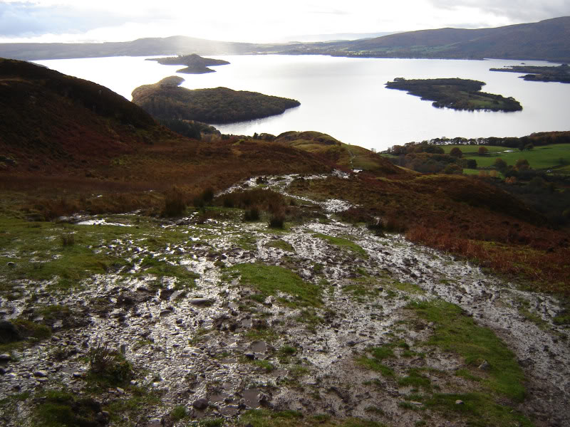
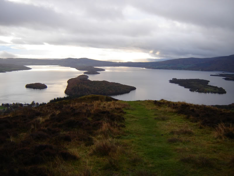
Loch Lomond islands:
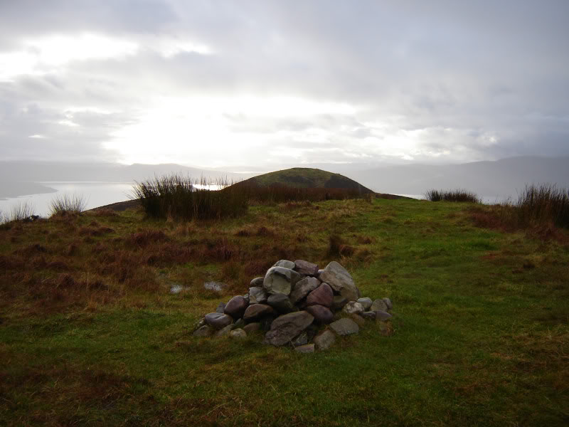
On reaching the 358m top I wasn't sure if it was the summit or not. There wasn't a cairn so I suspected not. I therefore carried along the ridge as far as the top with the cairn, which is the actual summit.
358m top of Conic hill:
Looking towards 358m top from summit:
Loch Lomond again:
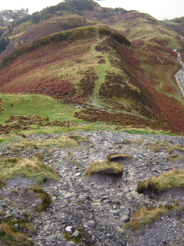
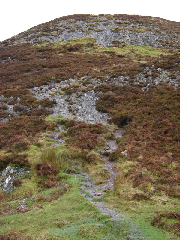
I decided to stick to the ridge line during the descent. This route was really enjoyable as it involves some easy scrambling on conglomerate rock.
Looking along ridge of Conic hill:
Loch Lomond again:
Looking back at scramble descent:
Campsies:
Looking back at Conic hill ridge:
Balmaha:
I really enjoyed this hill. One I will definitely be doing again