
Hills: East Mount Lowther, Lowther Hill, Cold Moss, Green Lowther, Dun Law, Lousie Wood Law
Date: Friday 14th October 2011
Company: Just myself
Time: 6Hrs 25Mins
The clag was down to road level this morning, and the forecast didn't look like it would improve any, so I opted to ascend Lowther Hill and Green Lowther – two hills I had ascended, and got views from, previously. Click here to see report from previous ascent of these hills.
However, today as well as Lowther Hill and Green Lowther, I would also ascend East Mount Lowther, Cold Moss, Dun Law and Lousie Wood Law.
Views today were non-existent. It was very much just a navigational exercise, in the mist.
Click here to see a map of the route undertaken
I parked at the outskirts of Wanlockhead - just beside the start of the road leading up to Green Lowther.
Parking:

I walked along the tarmac road leading up towards Green Lowther - not many hills have such a good-quality tarmac road leading right to the summit!
Tarmac road up the hill:

As with many other nearby hills, there are numerous traps on logs on these hills.
One of many traps:

Puffball mushroom:

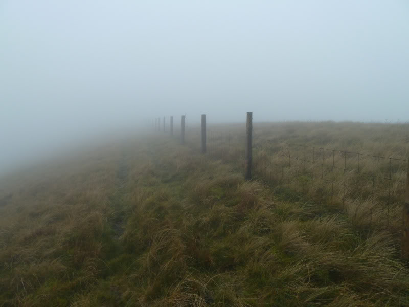
On reaching the transmitter at 630m, I left the road and followed a good path, alongside a fence, leading out to East Mount Lowther.
Transmitter at path junction to East Mount Lowther:

Following the fence out to East Mount Lowther:
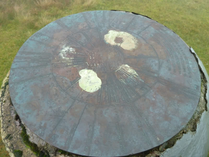
It's always disappointing to come across a toposcope on a hill in zero-visibility. No views from this viewpoint today.
East Mount Lowther is a Donald and New Donald.
toposcope at summit of East Mount Lowther:

toposcope at summit of East Mount Lowther:
By the time I reached East Mount Lowther, it was raining as well as misty. At this point I realised that I had left my waterproof trousers in the hotel room.
From East Mount Lowther, I returned to the transmitter next to the tarmac road and then continued to follow the road to the summit of Lowther hill.
Approaching summit of Lowther Hill:

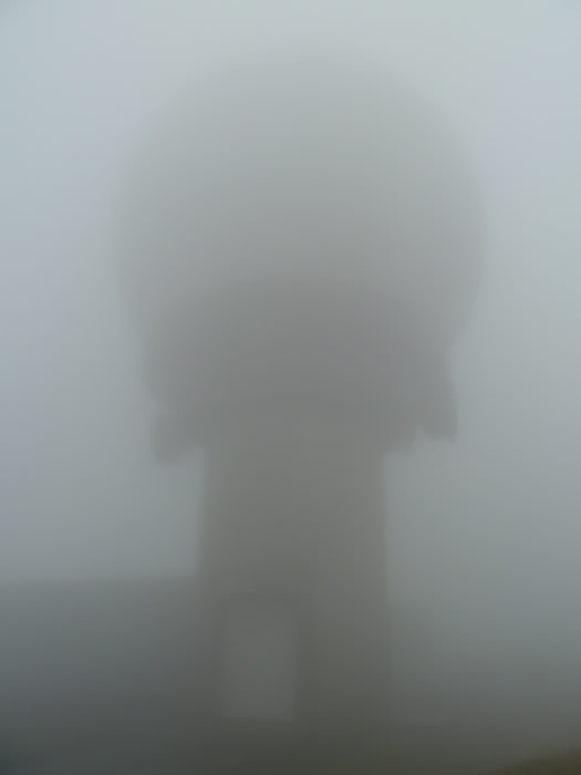
The visibility today was so bad that I didn't see the really large dome until I was about 15-20m away from it!
Lowther Hill is a Donald and New Donald.
Radar dome at summit of Lowther Hill:
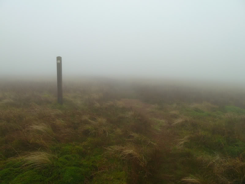
From Lowther Hill, I followed the waymarked track leading out to Cold Moss. This track is part of the Southern Upland Way.
En-route to Cold Moss:
I used my GPS to locate the summit of Cold Moss but was a bit surprised that my GPS was suggesting that Cold Moss was 643m high. According to the map it is only 628m. I haven't come across a discrepancy as high as 15m previously. Is Cold Moss really only 628m?
Cold Moss is a New Donald.
Featureless summit of Cold Moss:

From Cold Moss, I returned to the summit of Lowther Hill.
Hut en-route back to Lowther hill:

From Lowther Hill, I continued along the tarmac road to the summit of Green Lowther.
Green Lowther is a Fiona, Marilyn, HuMP, Donald and New Donald.
Summit of Green Lowther:

From the summit of Green Lowther, I carried on towards Dun Law, passing over Peden Head and Dungrain Law, en-route. Despite the weather, and lack of views, I quite enjoyed the walk from Green Lowther out to Lousie Wood Law.
En-route to Dun Law:

I had a quick stop at the summit of Dun Law before carrying on to Lousie Wood Law, via White Law.
Dun Law is a HuMP, Donald and New Donald.
Two stones at summit of Dun Law:

En-route to Lousie Wood Law:

The descent from White Law to the col was very steep, as was the ascent out of the col up Lousie Wood Law.
Ascent of Lousie Wood Law:

On looking back towards White Law, I had a fleeting view – the first one of the day.
Looking back to White Law:

Was great to reach the summit of Lousie Wood Law, my 50th New Donald.
Lousie Wood Law is a HuMP, Donald and New Donald.
Summit of Lousie Wood Law:

At the summit of Lousie Wood Law, I had a good look at the map to work out a route back to the car. I decided to descend directly from the summit to the Lead Burn.
Descent towards the Lead Burn:

On reaching the Lead Burn, I opted to take the track leading to South Shortcleugh and out to the road.
Looking back along track next to the Lead Burn:

South Shortcleugh:

Log and trap above the Elvan Water:

On reaching the road, I wasn't looking forward to the long walk back. After walking just over a kilometre along the road, I decided to stick out my thumb to hitch a lift back to Wanlockhead. The first time I stuck out my thumb, I got a lift (saved me about 5km)