
Hill: Maovally
Date: Saturday 5th November 2011
Company: Myself and Beinn
Distance: 19.5km, Ascent: 680m
Time: 4Hrs 30Mins
Dog friendly: Yes
On Saturday morning, I set off from Inchnadamph to ascend something on Landranger Map 16. I had originally hoped to ascend Beinn an Eoin in Coigach, until I realised that I’d left Landranger Map 15 at home
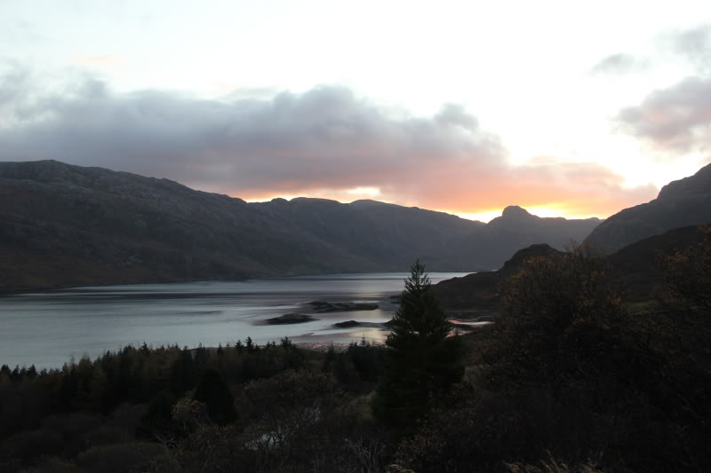
I headed North from Inchnadamph, stopping briefly at Kylesku to get a photo of the sunrise over the Stack of Glencoul.
Sunrise over the Stack of Glencoul:
A short distance along the road, I stopped again to get a photo of a buzzard.
Buzzard:

I then continued on to Laxford bridge before taking the A838 towards Lairg. I continued along this road towards clear skies in the distance. By the time I reached the West end of Loch Shin, I was out of the cloud, so I opted to ascend Maovally.
I parked opposite three houses, beside a large garage.
Click here to see a map of the route undertaken
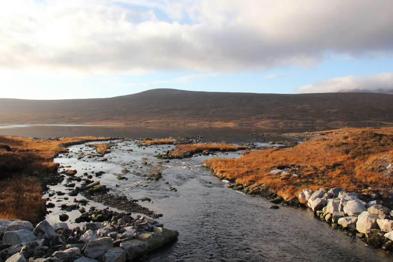
I set off along a tarmac track towards an electricity sub-station. After about 1km of walking I come to a bridge separating Loch a’Ghriama and Loch Shin.
Maovally and West-end of Loch Shin:
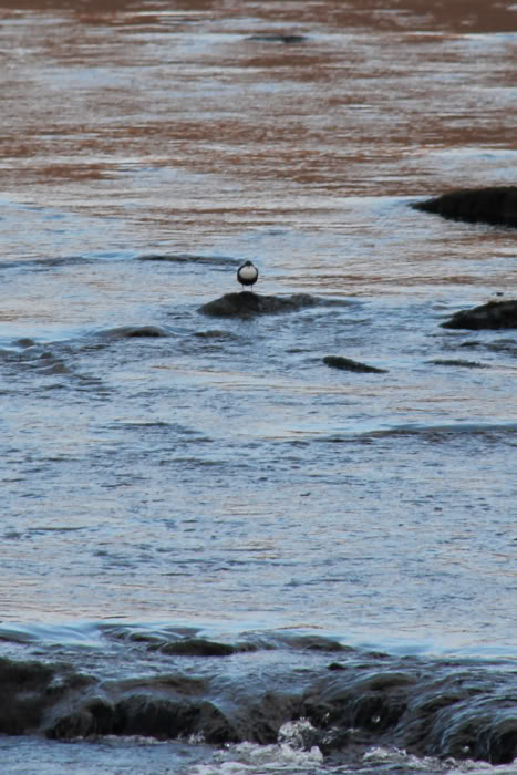
I saw a Dipper at the outflow about 100m away.
Dipper:
From the bridge, I continued along the tarmac road towards Corrykinloch. I took a photo at the end of Loch Shin. Loch Shin is quite a long loch.
Loch Shin:

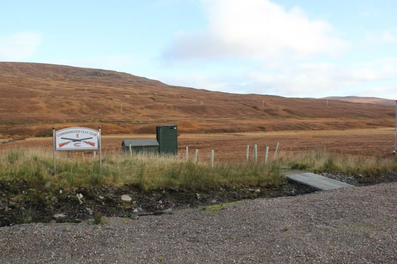
During the walk towards Corrykinloch I had seen a number of green sheds. On walking along the other side of the loch, I found out that they are something to do with a clay shooting club.
Corriekinloch Clay Club:
I continued along the tarmac road by this time wishing I had worn trainers. After another couple of kilometres at last I began to ascend. At the road junction, I kept right to ascend towards the transmitter and Maovally.
Ben Klibreck and Loch Shin:

I half-expected the tarmac to stop at the transmitter but no it continued to about 100m below the summit of the hill (and beyond to the Power Station.)
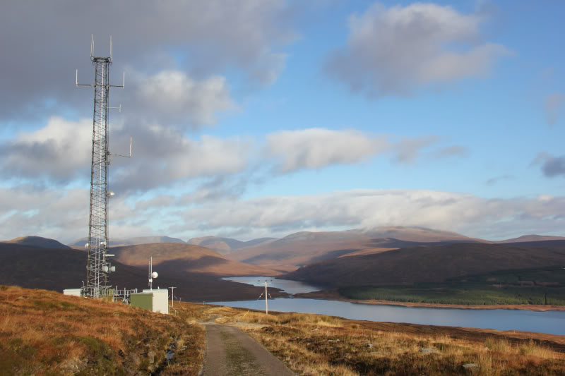
Looking back towards transmitter at 350m:
The final 100m of heather made a pleasant change from the tarmac.
The Database of British Hills is lacking a grid reference and summit feature for this hill. The cairn would appear to be the summit, albeit I also visited a couple of nearby mounds just to be sure.
Beinn at the summit of Maovally (Ben More Assynt in background):

View from summit of Maovally:

Looking towards Gorm Loch Mor and Fionn Loch Mor (zoomed):

Looking towards Gorm Loch Mor and Fionn Loch Mor (not zoomed):

From the summit we continued back the same way.
Ben Klibreck and Loch Shin:

The walk out was hard on the feet. My feet were a bit sore but poor Beinn had quite a large blister by the time we got back. If I were to do this hill again, I would wear trainers for the tarmac and carry boots for the short ascent to the summit (which is a bit boggy).