
Hill: Lurg Hill
Date: Sunday 22nd January 2012
Company: Myself and Beinn
Time: 1 Hr
Dog friendly: No, numerous barbed-wire fences
I set out this afternoon to ascend a HuMP located just over ten minutes from home.
I had no idea how best to ascend this hill, so I made it up as I went along.
If you attempt my route, be warned - it looks much easier on paper than it is in reality. In fact, I would not recommend my route unless you want to cross at least seven fences (mostly barbed-wire). Instead, it may be worth attempting this hill from the North via the Lurghill Plantation. From the North, there would appear to be a track leading to the transmitter near the summit.
Click here to see a map of the route undertaken
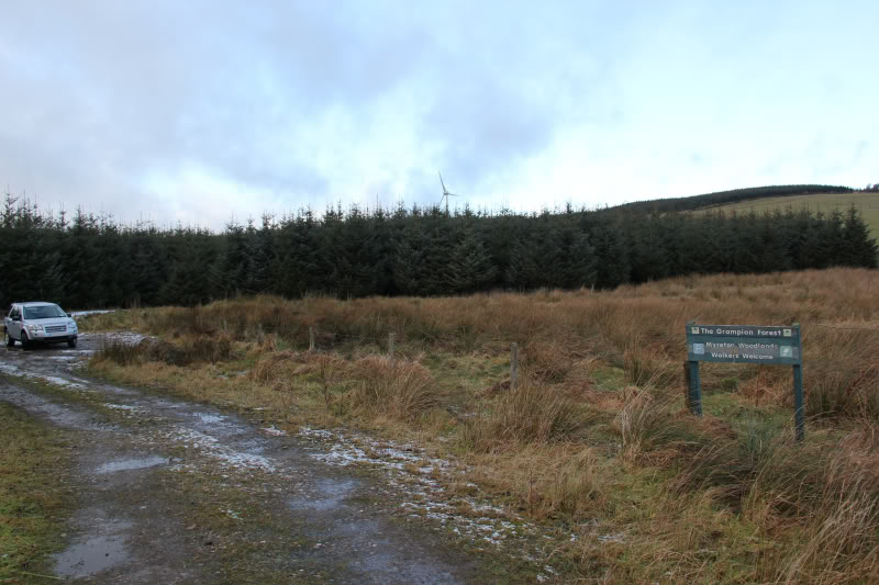
As I drove past Lurg Hill, I noticed a “Walker’s Welcome” sign so decided to park and start from there.
Start of walk, at Myreton Woodlands:
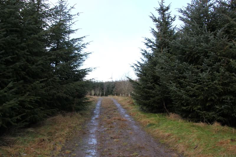
The initial walk through Myreton Woodlands was pleasant as far as the ruin cottage.
Track through wood, leading towards Wind Turbine:
Track towards ruin cottage:
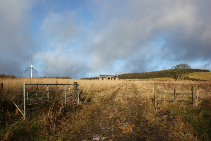
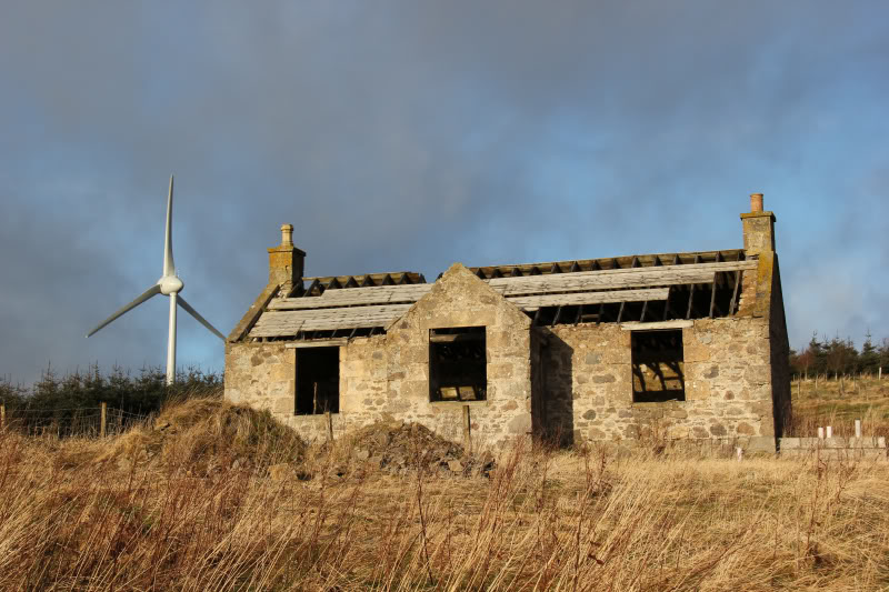
Ruin cottage and wind turbine:
To get beyond the ruin cottage, into the grassy field, I had to cross two fences. These two fences could be avoided by starting the walk at the bottom of the grassy field, instead of going into Myreton Woodlands.
Ascending field, towards Lurg Hill:
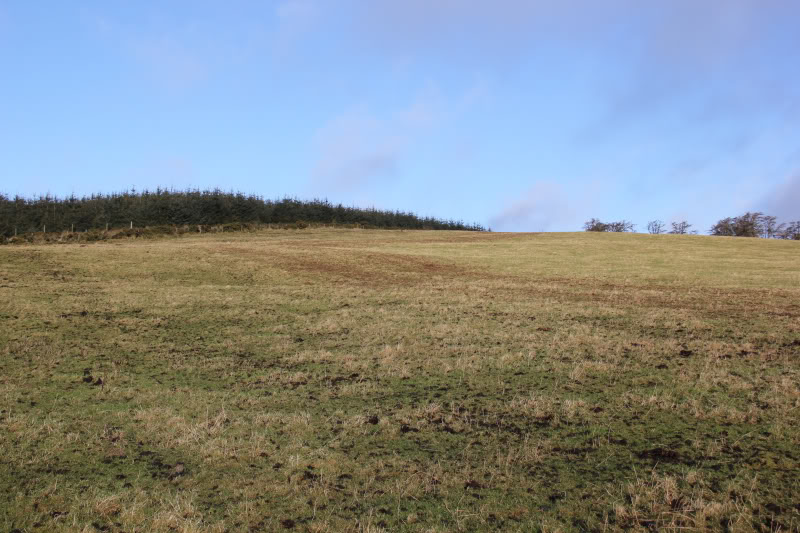
Looking towards Lurg Hill:
On reaching the top of the field there is a rough area of long grass which is quite wet underfoot. To avoid most of the long grass, I made my way through a small wood. Once out of the wood, I had to cross another fence and then followed the fence line towards the summit. However, I was on the wrong side of the fence to reach the highest point which was several metres away on the other side of the fence!
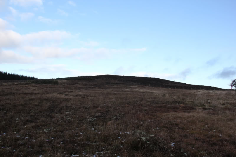
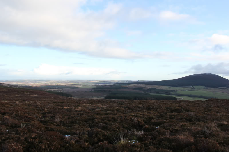
From Knock Hill to Fourman Hill:
I therefore followed the fence to the transmitter and crossed another couple of fences to then return back on the correct side of the fence to reach the summit.
Transmitter, a short distance beyond the summit:
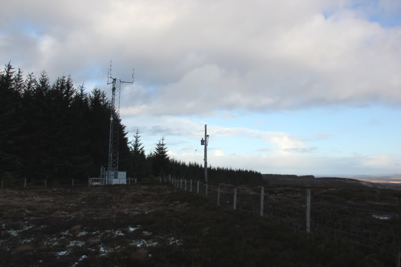
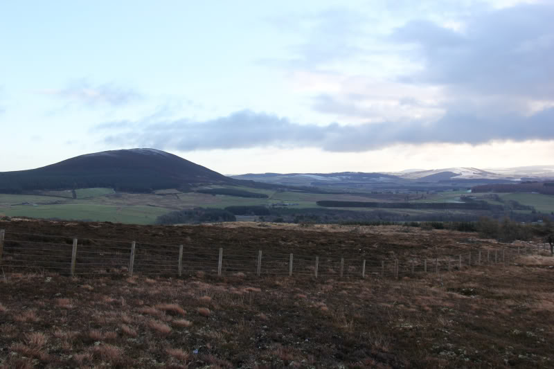
It is worth the short diversion towards the transmitter for the views towards Banff/Macduff.
View towards Banff/Macduff:
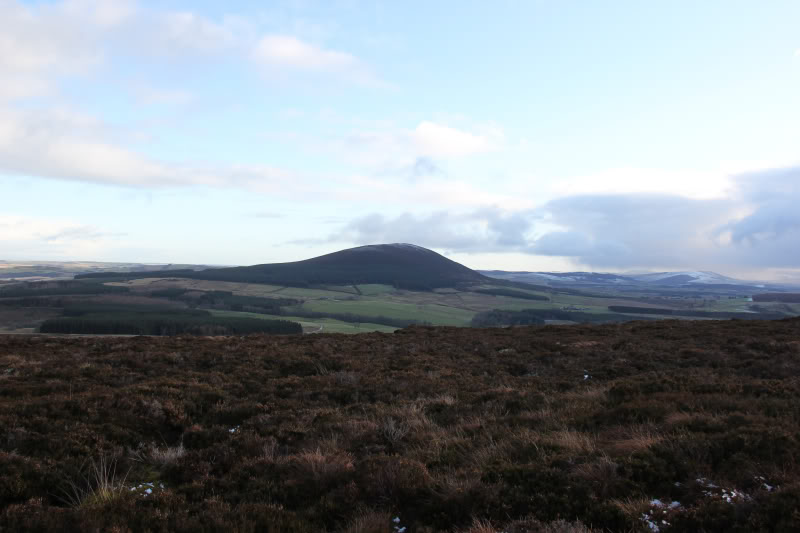
Knock Hill:
There was no feature at the summit. The Database of British Hills Grid Reference was only accurate to within 100m. The actual summit would appear to be where the summit is indicated on the map.
Summit – no feature:
From the summit, I decided to attempt a different route back in an attempt to avoid having to cross five fences again.
I made my way back towards the corner of a wood, where I had to cross two fences to reach the open field leading down to the road.
This field must normally contain cattle - plenty of cow-sign! - None today thankfully.
If you followed my descent route there and back there would be less fences to cross.