
Hill: The Bin (Huntly)
Date: Friday 10th February 2012
Company: Myself and Beinn
Time: 1Hr 20Mins
Dog friendly: Yes
Click here to see a map of the route undertaken
I ascended the Bin this morning; a HuMP located circa 3 miles from Huntly.
There is a good car park at the start which is sign-posted as "Bin Forest Walks".
Bin Forest waymarked walks:
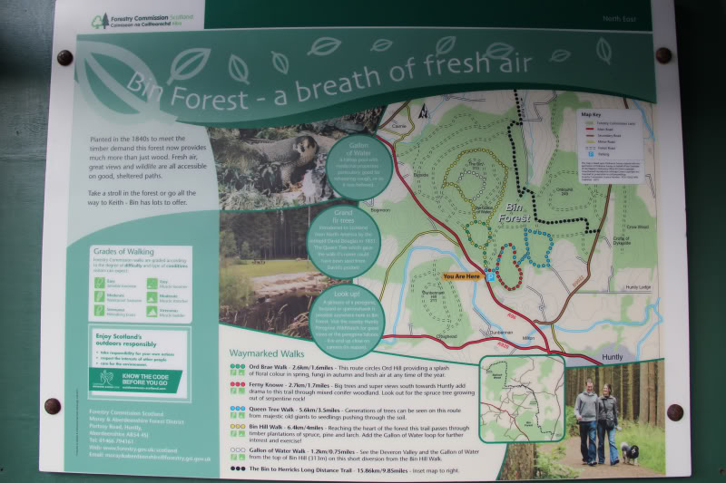
I made the route up as I went along using sections of different waymarked paths.
The Viewranger app, on my iPhone, was handy today
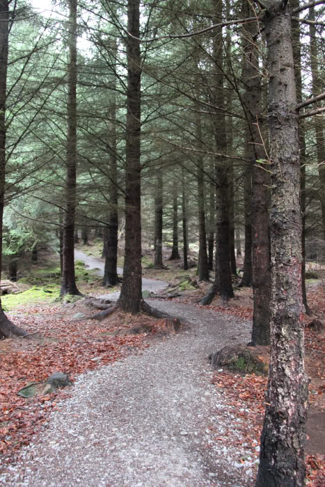
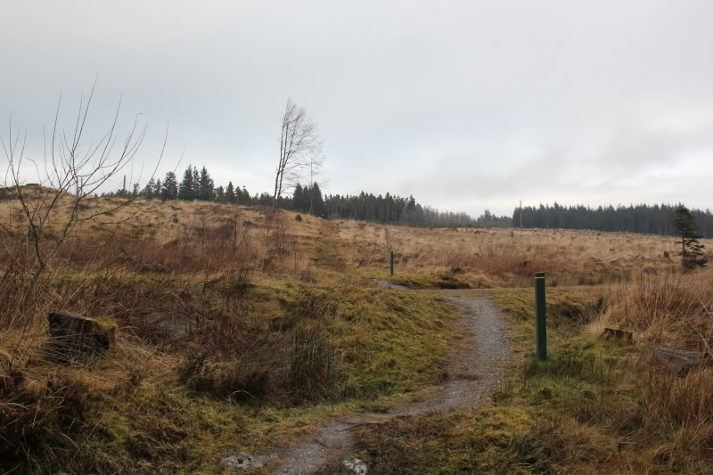
From the car park, I followed the Green/Yellow waymarked path.
Green/Yellow waymarked path section beyond car park:
Green/Yellow waymarked landrover track section:
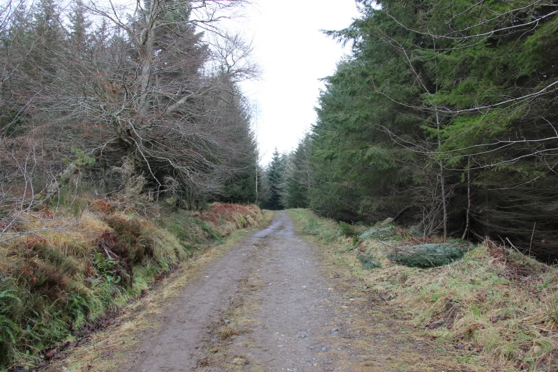
After reaching the landrover track and following it for a short distance, I opted to follow the Green waymarked track up through the trees.
Green waymarked track section:
Beyond the Green waymarked section, I reached the Yellow waymarked track.
Yellow waymarked track section:
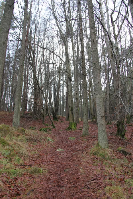
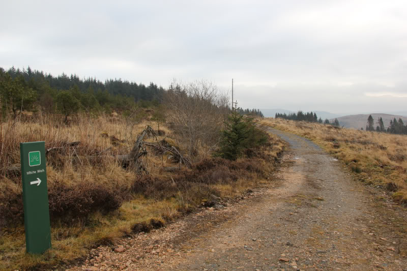
Again, I only followed the Yellow waymarked track for a short distance before reaching the White waymarked track.
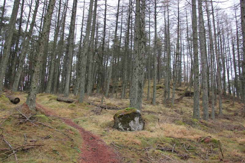
White waymarked track section:
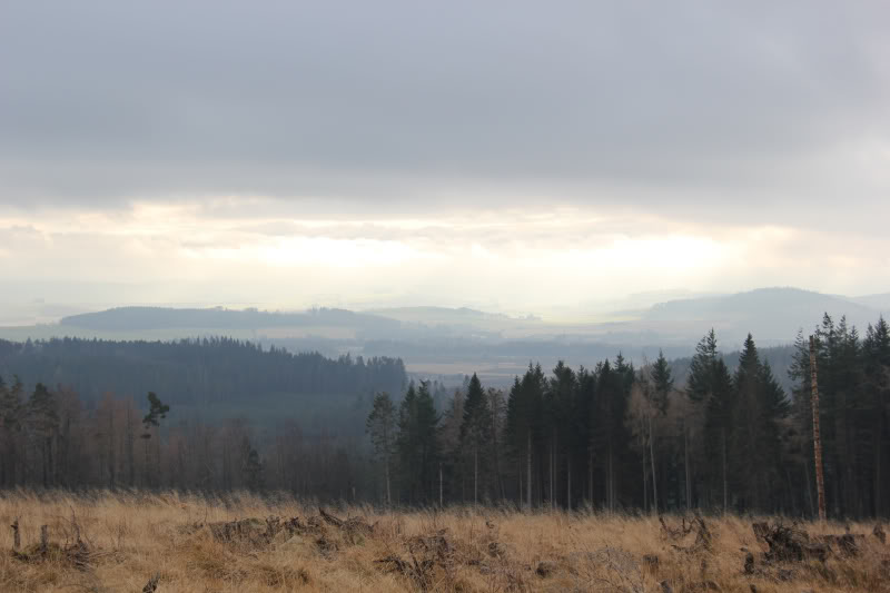
This is definitely not the best hill for views as it is very much covered in trees.
Limited view:
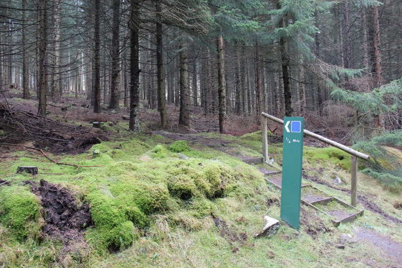
On reaching the 1/4 mile to viewpoint sign, I followed this track to the summit.
1/4 Mile to viewpoint:
Ascending final section of the Bin:
Beinn at the summit of the Bin:

A wee landmark hill for Beinn today; his 200th HuMP
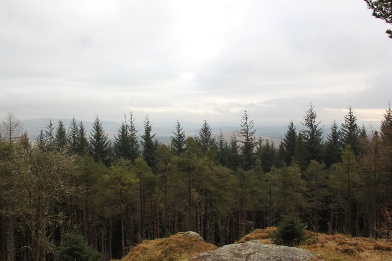
Must be one of the worst "Viewpoints" I have visited.
Viewpoint (allegedly):
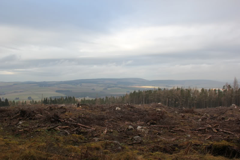
From the summit, I continued on towards a clearing from where there were slightly better views.
Views from a short distance beyond the summit:
As I followed this path back towards the White waymarked track, we passed through a large split boulder.
Path through a large split boulder:

We then pretty-much returned to the car via the ascent route.
Lots of dog-walkers on the lower tracks of this hill.