
Hill: Creag Dhubh (Beinn Eighe)
Date: Tuesday 26th June 2012
Company: Just myself
I set off this morning to undertake a traverse of Beinn Eighe. I abandoned the traverse a couple of hours into the walk
I stupidly decided to try out a new pack today – an Osprey Talon 8.

The Osprey Talon 8 is an 8 litre lumbar pack designed for runners. I found the pack quite uncomfortable, far too small and not fit for purpose today.
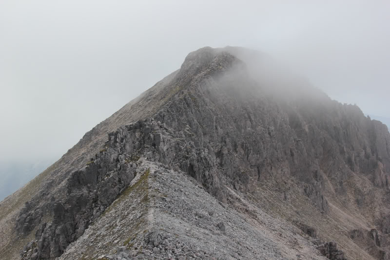
On reaching the scrambling section of the ridge (the Black Carls), I had nowhere to stow my walking poles, my DSLR which was hanging round my neck and my jacket which was tied round my waist. I had also already used up the one litre of water that the miniscule pack can carry and had no sunscreen as there wasn't room for it. It was 23C.
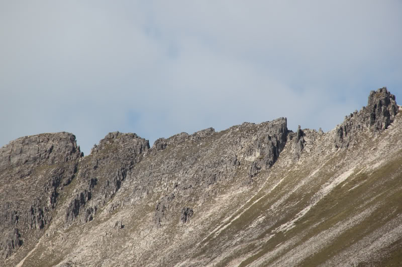
I ascended to the top of the first Black Carl pinnacle with my poles dangling from my wrists but wasn't happy proceeding any further with the dangling poles. The Black Carls rock is quartzite with lots of loose rock.
I'll definitely be back to do this route again with a proper rucksack.
There was no way I was going home without summiting a hill, so I returned to the car and drove towards Diabaig to ascend An Ruadh-Mheallan.
I have included a few photos from the Beinn Eighe walk below – the weather was pretty good.
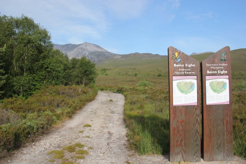
Beinn Eighe National Nature Reserve from Cromasaig:
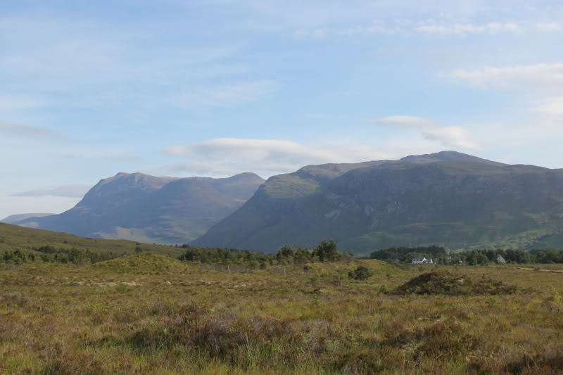
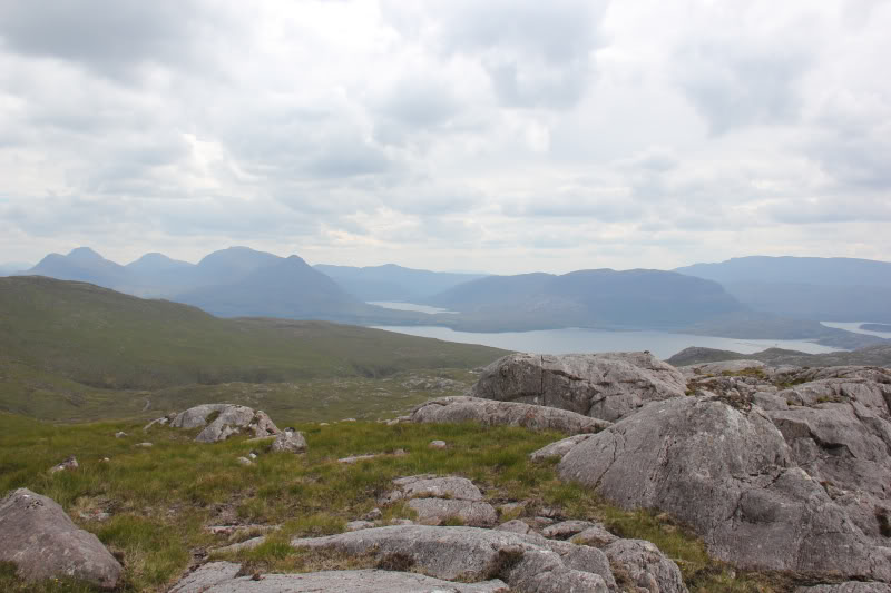
View across to Slioch and Beinn a'Mhuinidh:
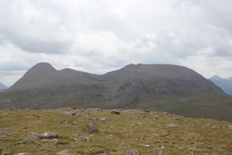
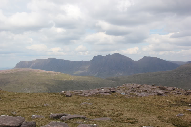
Sgurr nan Fhir Duibhe to Creag Dhubh:
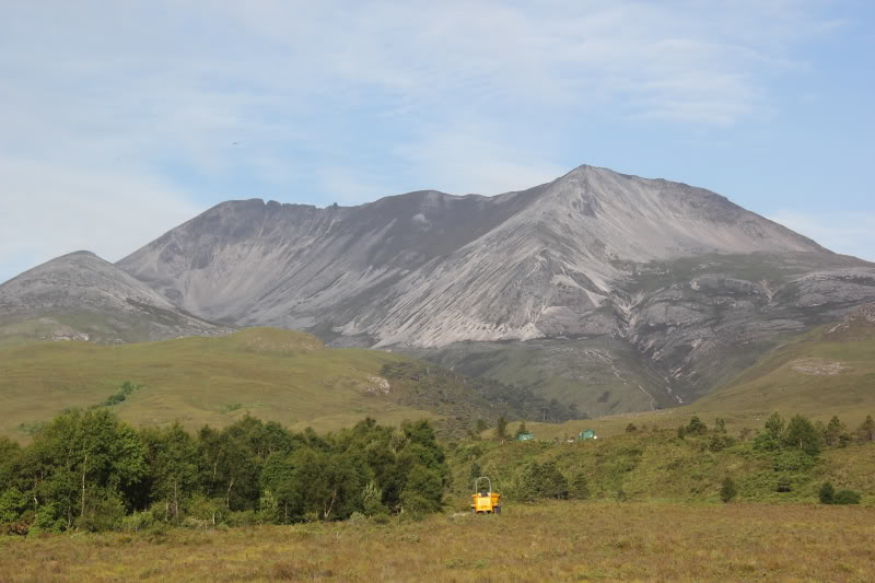
Sgurr nan Fhir Duibhe to Creag Dhubh:
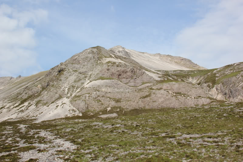
Creag Dhubh:
Black Carls (zoom):
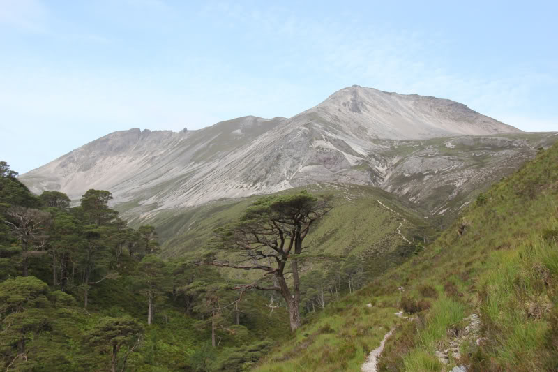
Ascending Creag Dhubh:
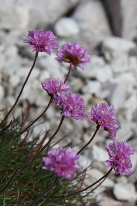
Thrift:
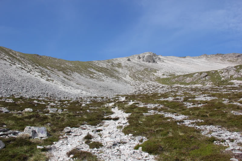
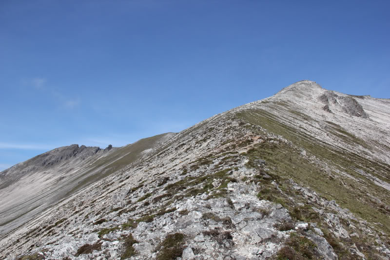
Ridge to summit of Creag Dhubh:
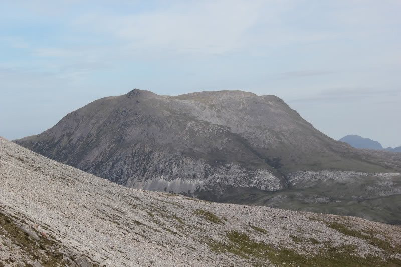
Meall a'Ghiuthais:
Looking back down the ridge:
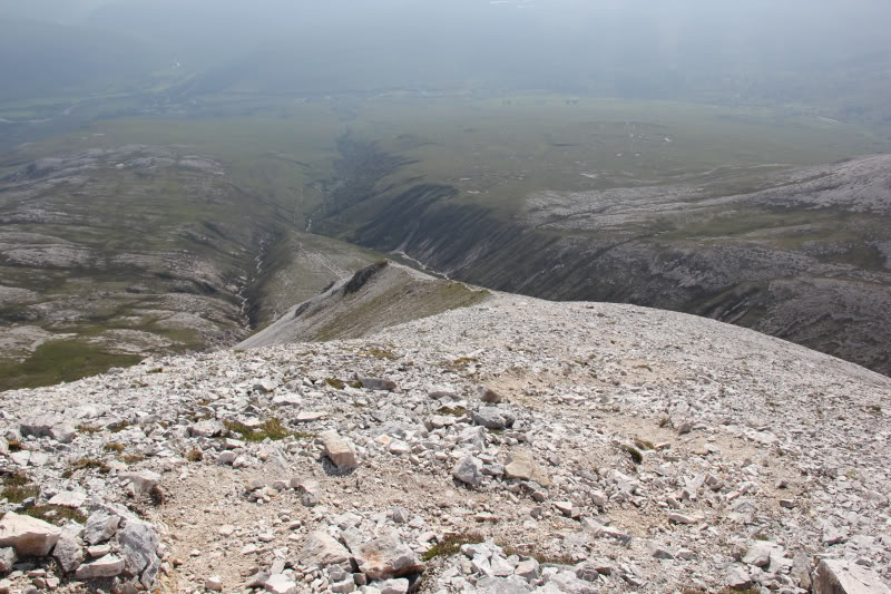
Approaching the Black Carls:
Hill: An Ruadh-Mheallan
Date: Tuesday 26th June 2012
Company: Just myself
After the sharp quartzite screes of Beinn Eighe it was nice to get my feet onto nice red Torridonian sandstone.
I didn't bother getting the map out for this one. I could see the hill in front of me, so I just headed for it, trying to pick out a reasonable route through the various outcrops.
Click here to see a map of the route undertaken
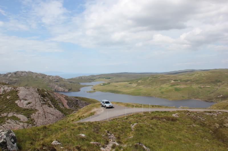
Looking back to start of walk:
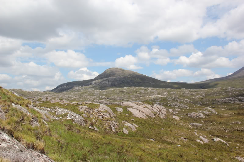
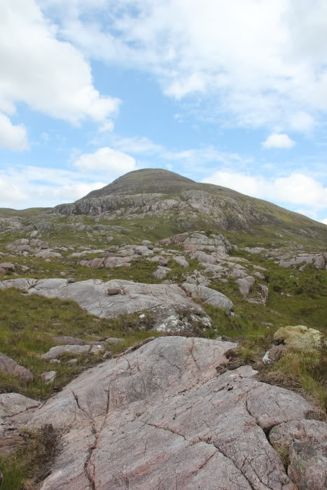
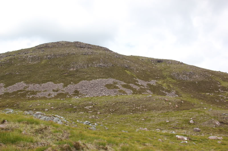
An Ruadh-Mheallan:
Beinn Alligin looked really nice today – definitely on my to do again list.
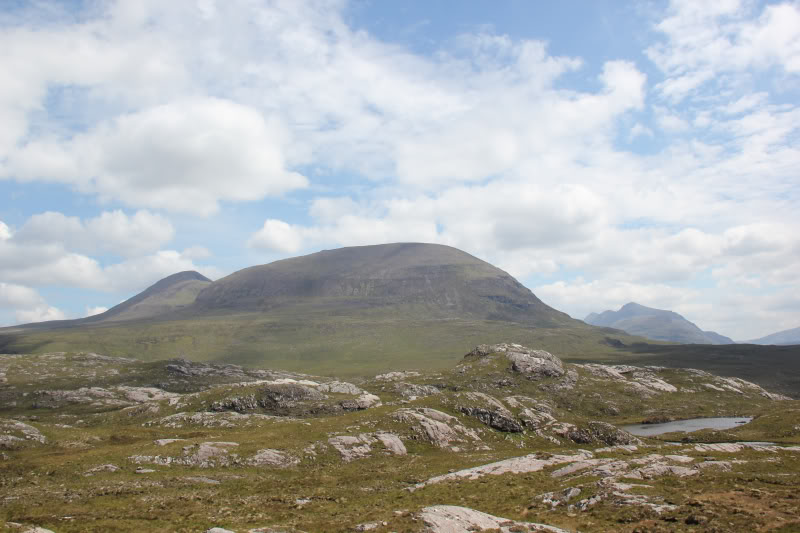
Beinn Alligin:
Hills South of Torridon:
An Ruadh-Mheallan:

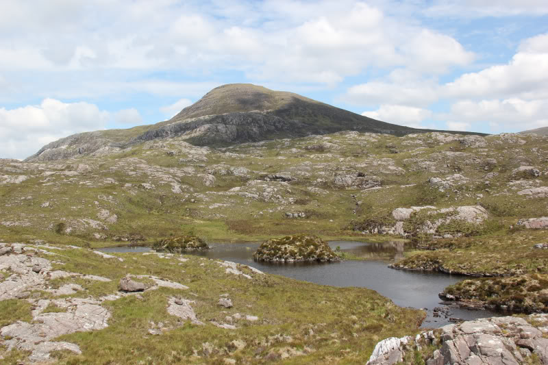
The next couple of photos do not do Loch nan Tri-eileanan justice. It is a beatiful lochan with three small islands in it, hence its name – Tri-eileanan.
Loch nan Tri-eileanan:
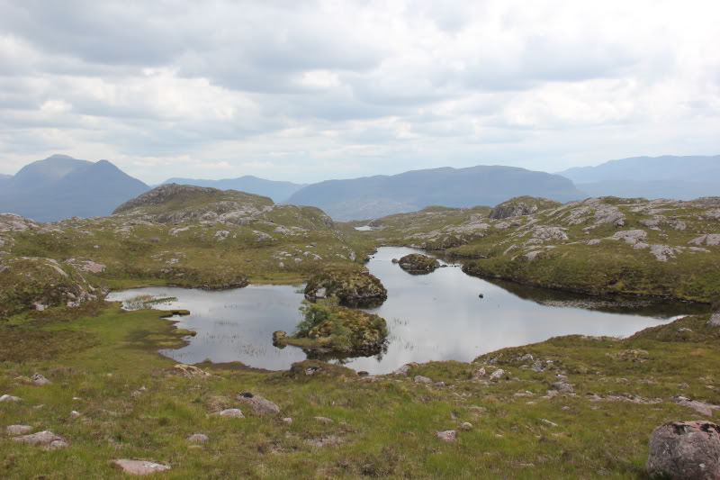
Looking back to Loch nan Tri-eileanan:
The ascent of An Ruadh-Mheallan was straight-forward.
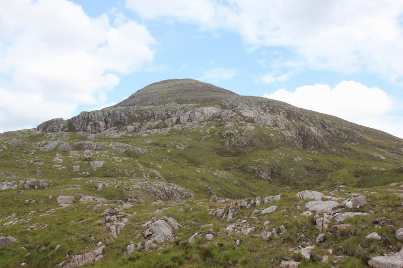
An Ruadh-Mheallan:
An Ruadh-Mheallan:
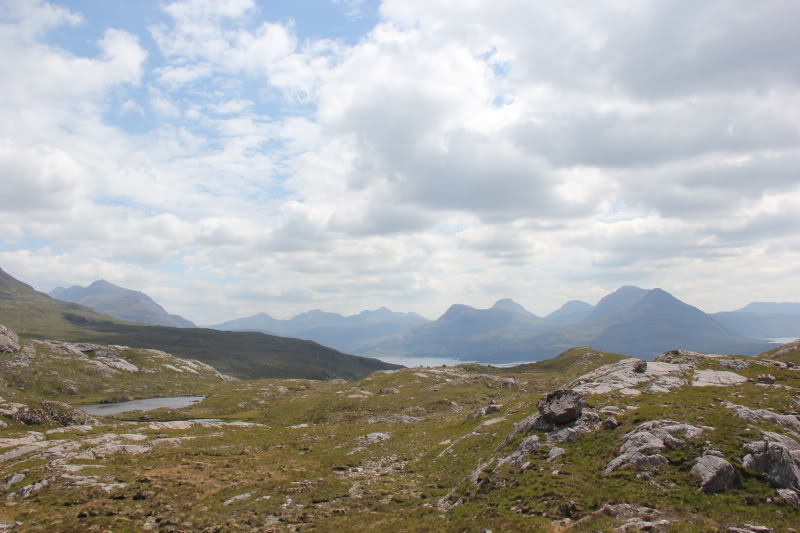
View from An Ruadh-Mheallan:
View from An Ruadh-Mheallan:

Final ascent of An Ruadh-Mheallan:
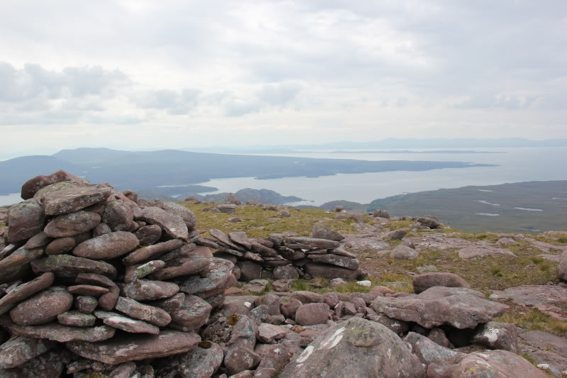
On reaching the summit area, I visited the cairn and also the summit boulder.
This is an excellent hill, as are most other hills in Torridon.
View from cairn near summit:
View from summit boulder:

Beinn Alligin from summit:
Baosbheinn from summit:
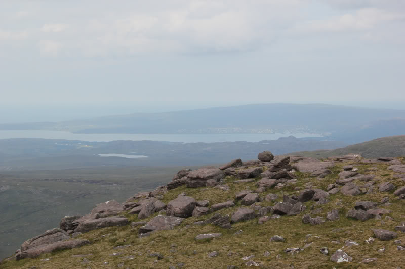
View towards Gairloch:
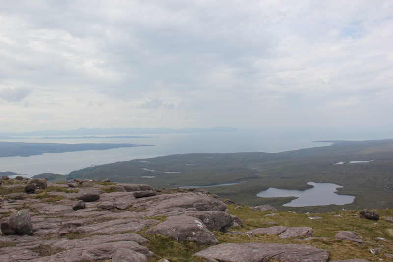
View towards Skye (Trotternish):
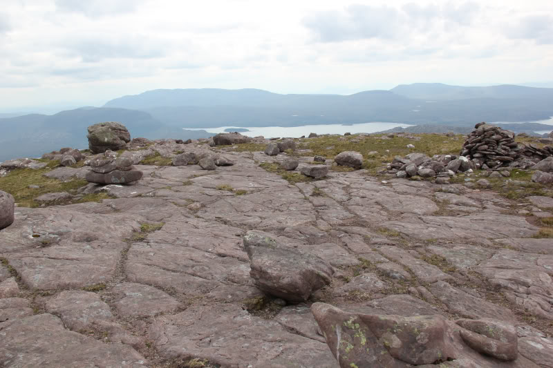
Summit area:
From the summit, I returned to the car via roughly the same route.