
Hill: Beinn a’Chapuill
Date: Thursday 3rd January 2013
Company: Myself, Graeme, Shona and PennyTWD
Distance: 13km, Ascent: 1036m
Time: 4Hrs 30Mins
To conclude our New Year meet, I set out with Graeme, Shona and PennyTWD to ascend Beinn a’Chapuill (a Fiona located near Glenelg).
We both drove to, and parked at, the road end at Balvraid. Parking here is limited and cattle are free to roam beside the cars.
Click here to see a map of the route undertaken
From Balvraid, we set off walking through the farm passing a number of cattle standing on and beside the track.
On looking at the map the night previous, I thought that the East ridge of this hill looked fairly impressive.
East ridge of Beinn a’Chapuill:

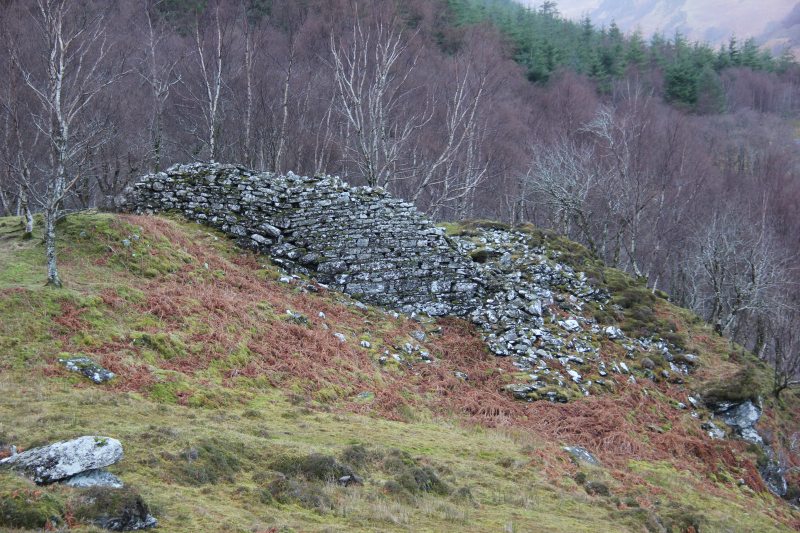
After walking circa one kilometre, we passed Dun Grugaig, which is signposted as ‘Balvraid Broch’.
Dun Grugaig:
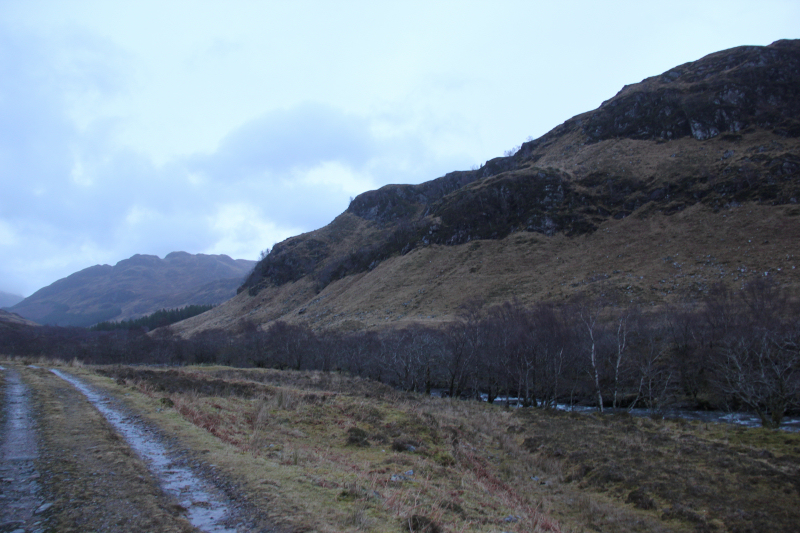
We continued along the track for a couple of kilometres with the intention of crossing the Abhainn a Ghlinne Bhig via the bridge marked on the map. However, owing to myself and Graeme blethering during the walk-in we overshot the bridge by a couple of hundred metres. This was easily resolved with a short walk back to use the bridge.
I didn’t realise until looking at the map subsequent to the walk that this track leads to Suardalan bothy. Had I realised this, I would have been keen to also visit the bothy.
Track from Balvraid towards Suardalan bothy:
The bridge across the Abhainn a Ghlinne Bhig was interesting - fairly high above the water and stabilised using an overhead wire and two side wires.
Interesting bridge across the Abhainn a Ghlinne Bhig:

Once across the bridge, we followed the edge of a small wood, Srath a Chomair, to reach the start of the East ridge of Beinn a’Chapuill.
Steep ascent onto the East ridge of Beinn a’Chapuill:

During this ascent, Shona spotted some stags above us.
Stags at Srath a Chomair:

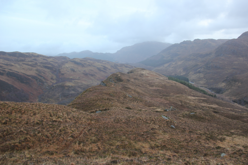
Once on the ridge, the walk was fairly straight-forward. We followed a faint path much of the way along the ridge.
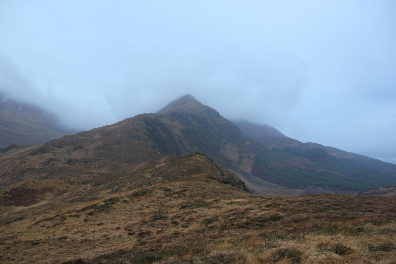
Beinn Sgritheall in distance:
Looking along the East ridge of Beinn a’Chapuill:
At a height of circa 350m, both Graeme and I spotted a guy with a beard on the ridge below us. One minute we saw him then he was gone. We didn’t see him again during the walk. Bizarre!
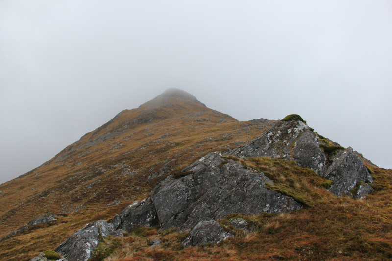
Looking back along the ridge:
Ascending the East ridge of Beinn a’Chapuill:
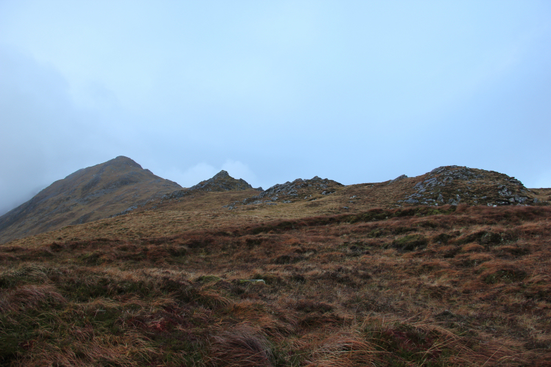
There were a few steeper sections on the ridge but nothing that required hands-on.
Looking towards a bump on the East ridge:
On reaching the summit area, I confirmed that we were at the actual summit using Viewranger. The summit is 759m, the top named on the map “Beinn a’Chapuill” is not the summit as it is only 742m.
Cairn at the summit of Beinn a’Chapuill:

We dropped a short distance below the summit to get out of the wind and have a bite to eat before reversing our route the entire way to get back to the car.
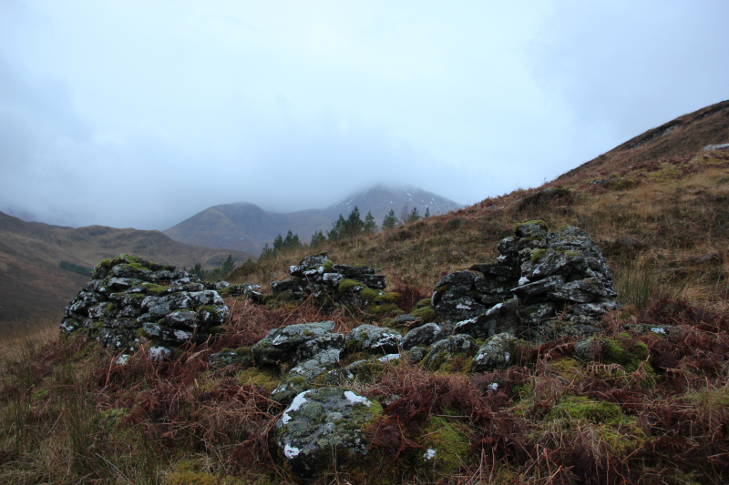
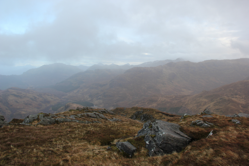
A disappointing day for views due to the clag. Had we ventured a bit further North and/or East we would likely have been walking in sunshine.
Descent:

A brief view through the clag:
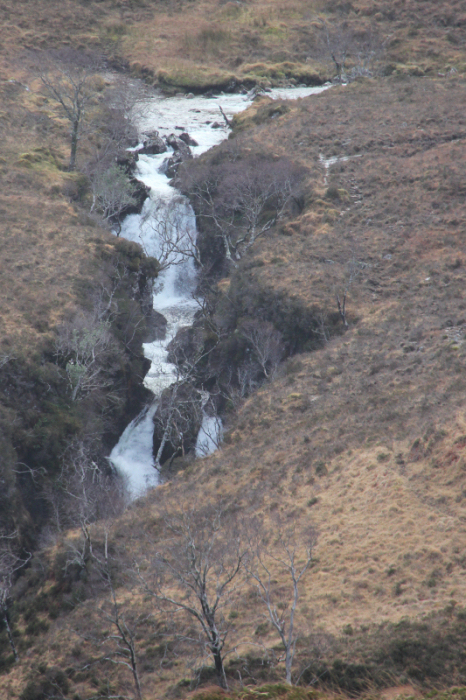
Waterfall on the Allt Ghleann Aoidhdailean (zoom):
Looking back to East ridge of Beinn a’Chapuill (summit still in clag):

On looking at the GPS on getting back to the car, I was a bit surprised that this walk involved 1036m ascent despite the Fiona only being 759m high.
Another good walk in good company.