
Hill: Ben Buie
Date: Saturday 19th January 2013
Company: Myself and John
Distance: 7.7km, Ascent: 675m
Time: 4Hrs
We set off this morning to ascend Ben Buie. Instead of tackling Ben Buie via the standard approach from Lochbuie, we opted to undertake an ascent from the A849 to the North. I parked just off the road at the start of a track below Coire Clachach.
Click here to see a map of the route undertaken
From the A849, we took to the hillside up frozen turf taking care to avoid numerous patches of ice.
Looking back to car from lower slopes of Ben Buie:

The weather was better than expected. MWIS had forecast 50% cloud-free Munros on Mull. 100% would have been more accurate as Ben More was free of cloud all day.
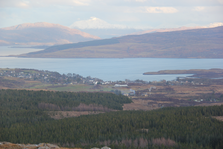
Sgurr Dearg, Loch Sguabain and Loch an Eilein:

During the walk-in we did contemplate also ascending Creach-Beinn. By the time we eventually reached the summit of Ben Buie, that option was ruled out.
Creach-Beinn and Loch Airde Glais:

Ascending towards Creag na h-Iolaire:
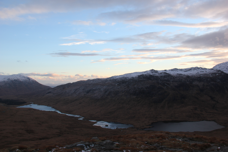
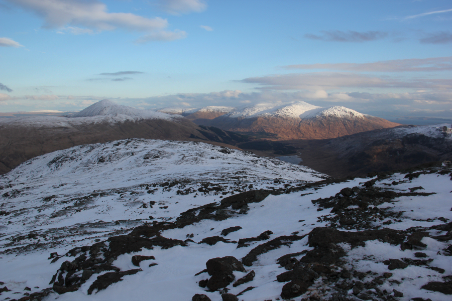
Loch Sguabain, Loch an Eilein, Loch Airde Glais and Beinn Fhada:
Just over half-way up the slope in the next photo, we swapped walking poles for ice axe and also decided to put on crampons.
Ascending towards Creag na h-Iolaire:
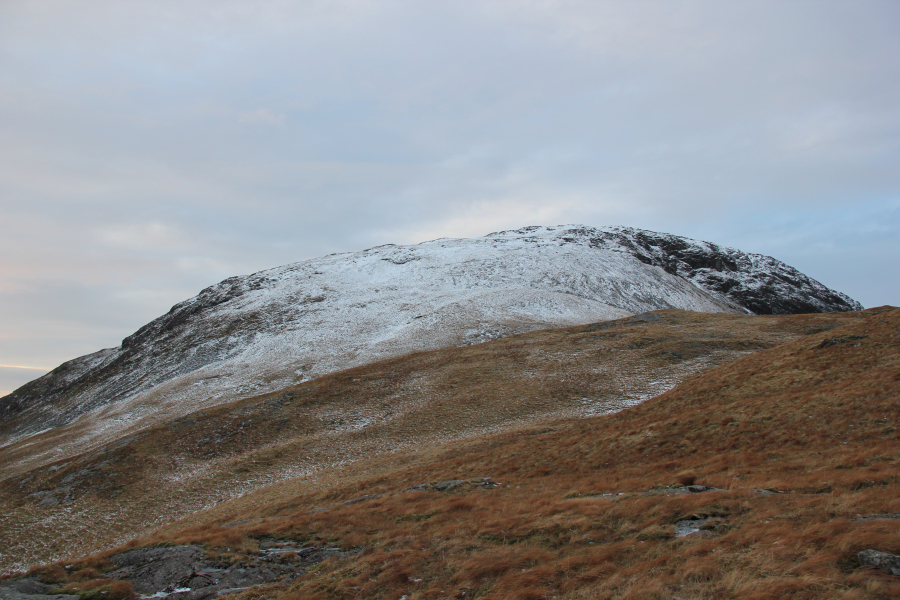
On reaching the top of Creag na h-Iolaire, Beinn Buie still looked a fair distance away, with lots of undulating terrain to cross to get there.
Looking towards Cnap nan Gobhar from Creag na h-Iolaire:

Nice sky:
The majority of snow en-route to Ben Buie was nice crisp neve.
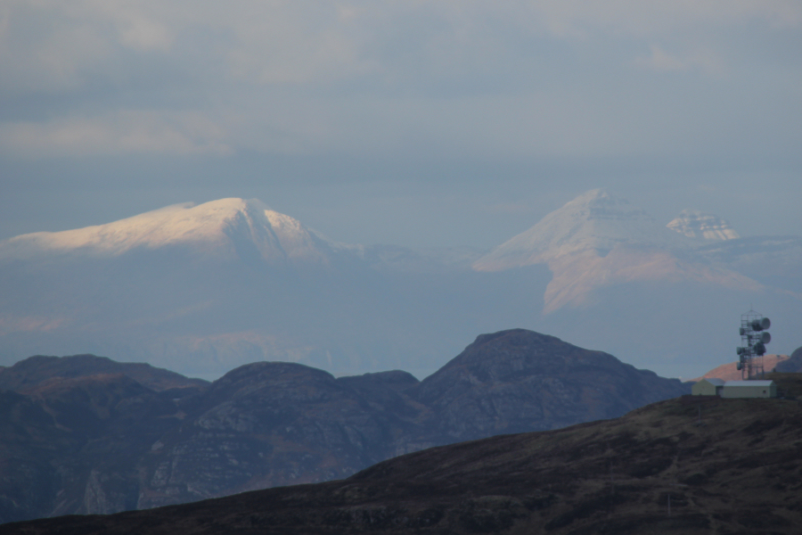
Looking back towards Beinn Talaidh and Sgurr Dearg:
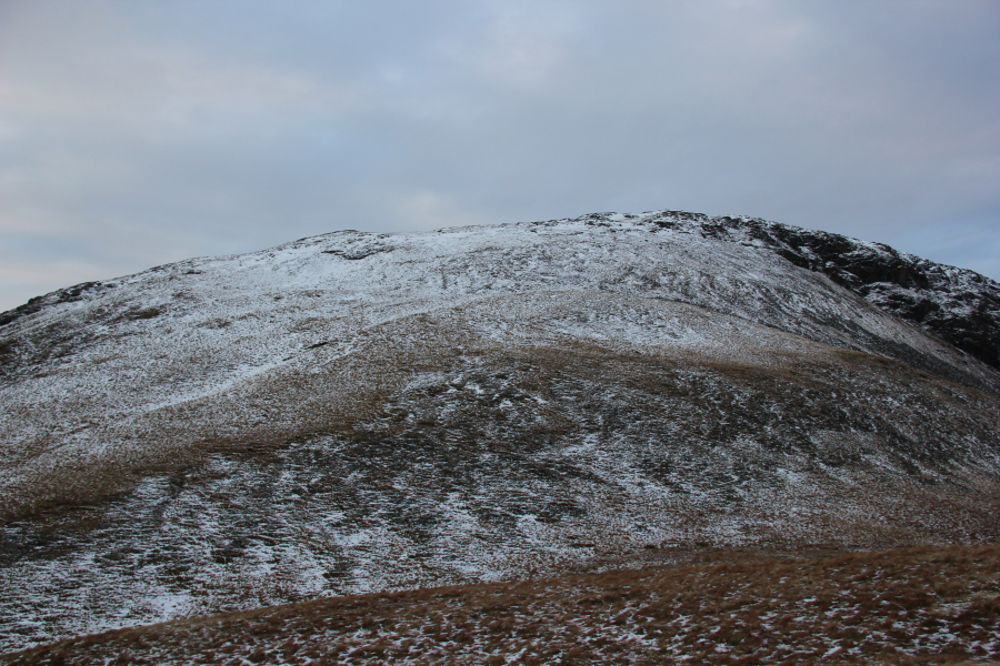
Before reaching Ben Buie, we ascended Cnap nan Gobhar, a Fiona Top.
Approaching Cnap nan Gobhar:

From the top of Cnap nan Gobhar, we took a small diversion to avoid the steep drop below the summit of Cnap nan Gobhar.
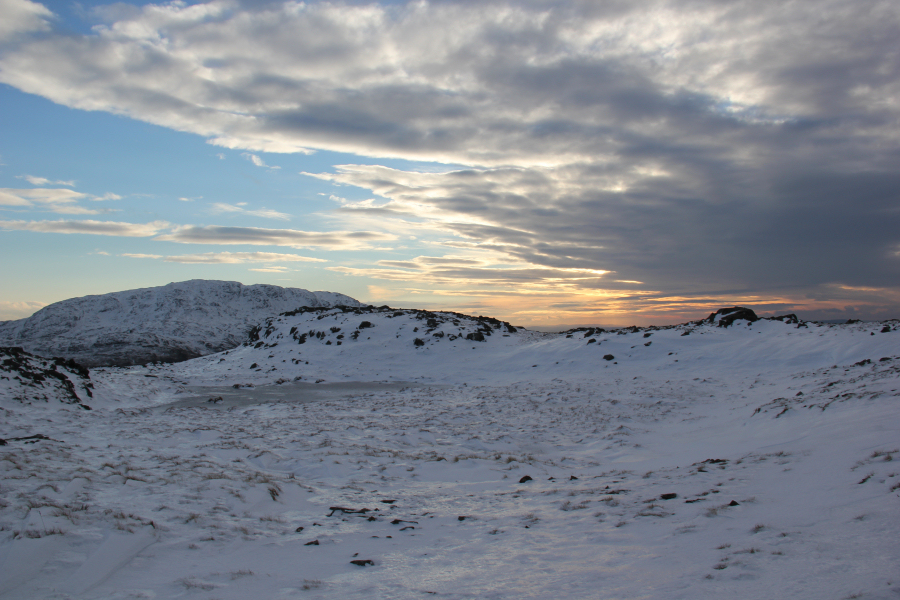
Looking towards Ben Buie from Cnap nan Gobhar:

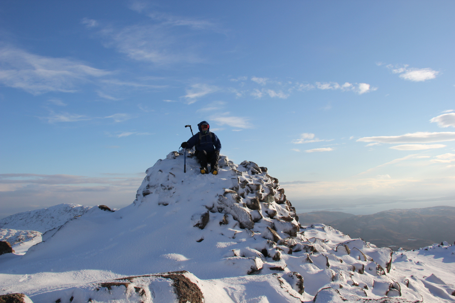
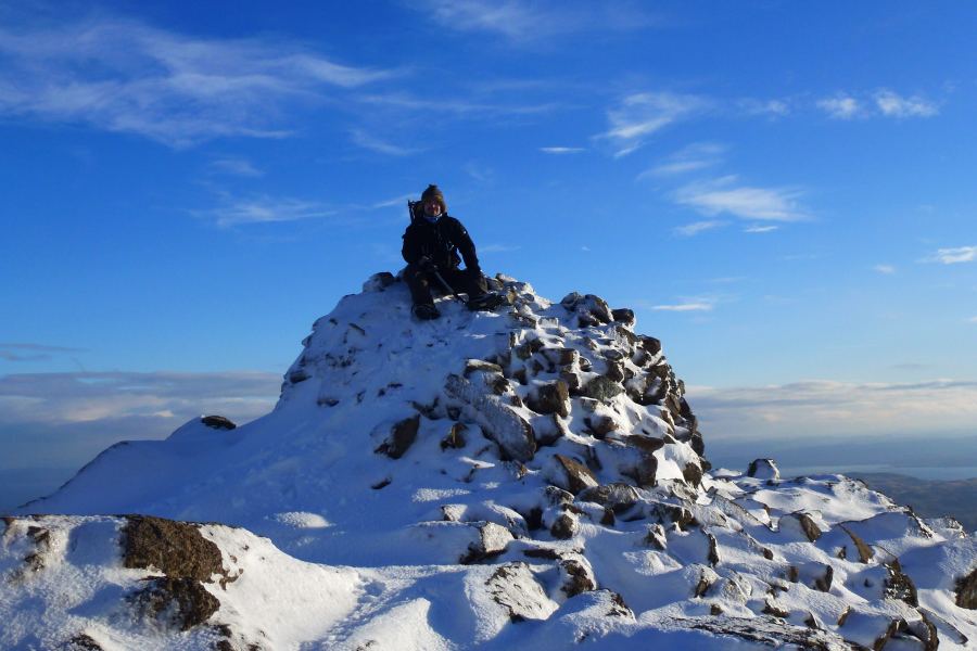
It was great to eventually reach the summit of Ben Buie.
John at the summit of Ben Buie:
Myself at the summit of Ben Buie:
Looking across Loch Buie towards a distant Scarba:

From the summit of Ben Buie, we reversed our in-bound route, following our crampon marks in the neve.
Cnap nan Gobhar:

Ben More was looking particularly good today. An ascent of Ben More via A’Chioch would have been superb.
Ben More and A’Chioch (zoom):

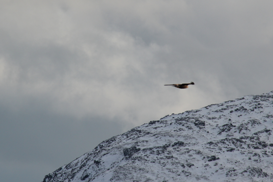
During the descent, we saw two eagles. Probably the same two eagles that we saw yesterday.
Eagle fly-past (zoom):
On getting back to the car, we ruled out ascending another Fiona as we would have been pushed for time. Instead we travelled to beyond Tobermory to ascend ‘S Airde Beinn, an easy Sub2000ft Marilyn.
We parked in a small car park c.200m from the start of the track leading towards ‘S Airde Beinn.
Hill: ‘S Airde Beinn
Date: Saturday 19th January 2013
Company: Myself and John
Distance: 3.35km, Ascent: 123m
Time: 1Hr 15Mins
Click here to see a map of the route undertaken
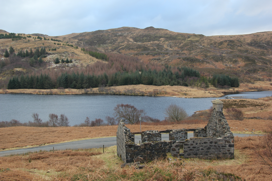
After walking 200m along the road, we climbed over a small fence to gain the start of the track leading towards ‘S Airde Beinn. The start of the track is next to the ruin.
Ruin at start of track towards ‘S Airde Beinn:
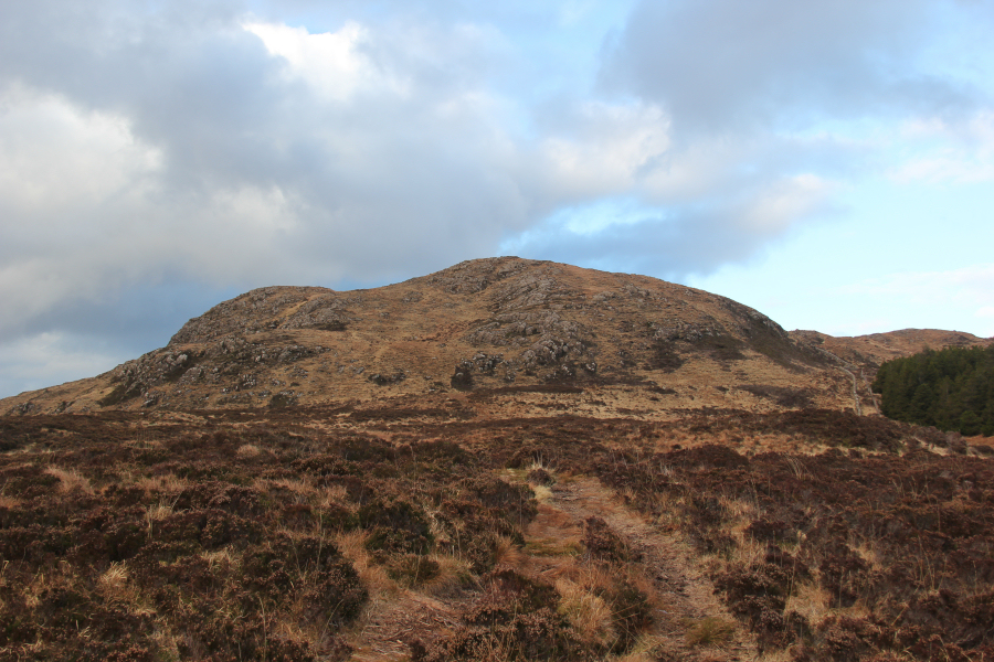
Finding a track leading all the way to the summit was a pleasant surprise.
John heading towards ‘S Airde Beinn:

‘S Airde Beinn:
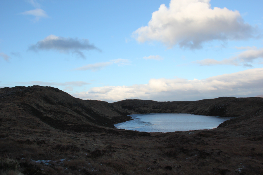
‘S Airde Beinn and Lochan’s Airde Beinn (Crater Lake):
It didn’t take long to reach the summit of ‘S Airde Beinn.
‘S Airde Beinn is a fantastic viewpoint and a really interesting hill! This hill is a Site of Special Scientific Interest.
More info from Scottish Natural Heritage:
“S’Airde Beinn SSSI represents the remnants of what was once the vent or central core of a volcano. This volcano was erupting lava during the Tertiary geological period around 60 million years ago, when Mull was a major volcanic centre. Molten rock or magma progressively built up in a reservoir, and then fed the erupting volcano. The erupting lava cooled rapidly on contact with the atmosphere, forming a very fine grained basalt. At some stage volcanic activity ceased and the magma remaining in the feeder pipe was trapped and therefore unable to reach the surface. The magma then cooled slowly in the chamber to form a course grained dolerite plug.
Differential erosion of the ancient volcanic environment during the last ice age has resulted in the more resistant plug forming a positive toposcopeic feature. This represents the largest and best known example of a Tertiary volcanic plug in western Scotland. The geological interest of the site has been enhanced by research which has found that as the molten rock cooled it produced heat that baked or altered the surrounding rock, a process known in geological terms as ‘thermal metamorphism’. This alteration produced new minerals including larnite, rankinite and wollastonite, all relatively rare in Scotland. The site is therefore of national interest both as an excellent example of a volcanic plug and due to the presence of uncommon minerals. Both feature are considered to be in favourable condition. The extent, composition and structure of the key rock features have been maintained. The site is easily and safely accessed via a stile and footpath from the main road.”
If you are ever visiting Tobermory and want a really easy hill-fix, an ascent of this hill is well worth the minimal effort required to reach the summit.
View from the summit of ‘S Airde Beinn:
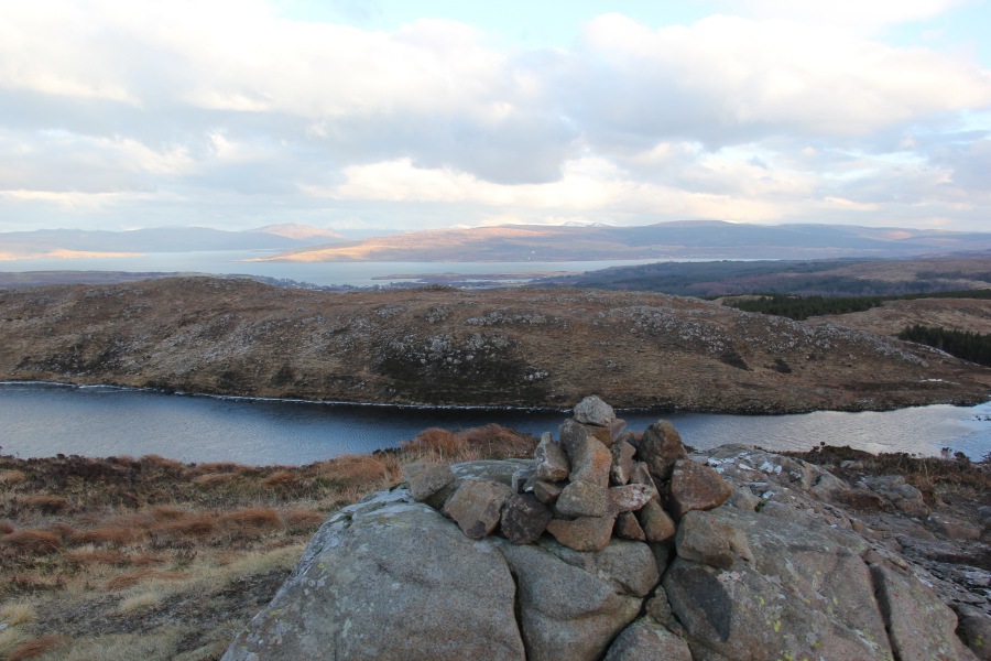
At the summit of ‘S Airde Beinn, we decided to undertake a complete circuit of the volcanic vent, circuiting Crater Lake. Circuiting the vent provides a few good viewpoints.
It was nice to look across to Rum, Eigg and Coll.
Rum Cuillin (zoom):
An Sgurr, Isle of Eigg (zoom):

Tobermory (zoom):
Lochan’s Airde Beinn (Crater Lake):

Ben Nevis (zoom):

After circuiting the volcanic vent, we followed our in-bound track back to the car. Two really enjoyable hills