Hill: Beenkeragh
Date: Tuesday 26th August 2014
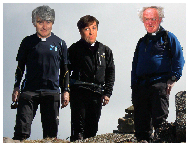
Company: Myself, John and Derrick
Distance: 12.8km, Ascent: 1045m
Time: 7Hrs
Since arriving in Ireland last Friday, several weather forecasts indicated that today would see the best weather of the week. On checking the forecasts this morning, they were still advising a day of sunshine
On arrival at Cronin's Yard we got suited and booted and set off along the track leading into Hags Glen.
Route undertaken:

Cronin's Yard:

Start of track from Cronin's Yard:

Track beyond Cronin's Yard:

Visibility was poor however we remained optimistic that the cloud would lift and we would soon be basking in sunshine.
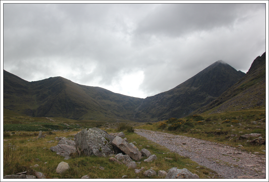
Hags Glen track:

John and Derrick crossing the Patie O'Shea bridge:

After crossing the Patie O'Shea bridge, we followed the Cronin's Yard Loop Path up the hillside with a view to eventually cutting off towards Cruach Mhor and then Big Gun. However, the weather was deteriorating instead of improving and visibility was next to nothing. Given the serious nature of these hills, and discretion being the better part of valour, we abandoned the walk descending back down into Hags Glen
After walking back towards the Angela Kenny bridge, I suggested that we attempt to ascend Beenkeragh instead. We could return the same way if the weather did not improve or continue round towards Carrauntoohil if the weather did improve. We therefore started an ascent of Knockbrinnea en-route to Beenkeragh.
The ascent of Knockbrinnea was trackless and very steep. On the plus side we gained height quickly, on the negative side it was hard-going.
Ascending lower slopes of Knockbrinnea:

Looking back following steep initial ascent:

Once above the steep lower slopes we picked up the start of the East ridge of Knockbrinnea. Once on the ridge, the incline was much more pleasant.
At the start of the East ridge of Knockbrinnea:

Visibility remained poor throughout our ascent; there was no sign of any of the forecasted sunshine.
During the ascent both myself and John took regular bearings on our compasses, John used a SatMap and I used Viewranger on my iPhone to navigate in the mist. Derrick concentrated efforts on reconstructing cairns as landmarks.
On the East ridge of Knockbrinnea:

Poor visibility ascending Knockbrinnea:

Poor visibility ascending Knockbrinnea:

We eventually reached the 847m top of Knockbrinnea and then circa ten minutes later reached its 854m summit. Knockbrinnea is an Irish Hewitt (not that that matters as I have no intention of collecting Irish Hewitts!
At the 847m top of Knockbrinnea:

Approaching the summit of Knockbrinnea:

Beyond the two tops of Knockbrinnea, and a minor rocky knoll, we commenced our ascent of Beenkeragh. The ascent of Beenkeragh was fairly rocky. It was great to reach the summit ridge and then the summit.
Onto the final ridge leading to Beenkeragh:

As we could see absolutely nothing from the summit, and there was no suggestion of the weather improving, we opted to return via the same route instead of continuing on along the very narrow, scrambly Beenkeragh ridge. Disappointing
Zero visibility and views at the summit of Beenkeragh:

On reaching the small rocky knoll just before the twin summits of Knockbrinnea we stopped for lunch. This knoll reminded me of the Glyders in Wales.
Lunchstop during the descent:

After passing the two tops of Knockbrinnea and descending a couple of hundred metres or so the cloud started to lift and dissipate!!!
Low cloud starting to lift during the descent:

First views of the day:

As we made our way back down the East ridge of Knockbrinnea, I thought the descent back down to Hags Glen between the two sets of hags teeth looked 'do-able'. We therefore agreed to descend this way in order to avoid a very steep descent further along the ridge. This descent turned out fine albeit there was lots of bracken to negotiate.
Descent to Hags Glen between the Small Hags Teeth and Large Hags teeth:

As we descended further and further towards the glen, the cloud lifted higher and higher.
Lough Callee:

It was good to gets some views of what we should have been doing today. At least now we have some idea of the terrain and toposcopey of these hills. Hopefully we will get up them in coming days.
Cruach Mhor, The Big Gun and Cnoc na Peiste coming into view:

Large Hags teeth:

Looking back at descent between the Large and Small Hags teeth:

Small Hags teeth:

On reaching Hags Glen we walked back out to the car stopping several times on the way out to take some photos.
Looking towards the Devil's Ladder and Carrauntoohil from Hags Glen:
Carrauntoohil (zoom):

Panorama during walk out along Hags Glen:

View from Angela Kenny bridge:

Looking back to Carrauntoohil and Knockbrinnea from Patie O'Shea bridge:

After a visit to the Cronin's Yard cafe we returned to Killarney. Lesson of the day: don't trust Irish weather forecasts.
... and two words to sum up the day - DRINK, FECK!