
Date: Tuesday 14th April 2014
Company: Just myself
Distance: 14.3km, Ascent: 1040m
Time: 4Hrs 45Mins
To escape today's poor weather forecast for the Lakes, I decided to head for the Yorkshire Dales. As I drove round the South Lakes, I had two potential options in mind: i) an ascent of Whernside or ii) a visit to the Howgill Fells. According to my SatNav, getting to the Howgill Fells was going to be forty minutes quicker than getting to Whernside, I therefore opted for a visit to the Howgill Fells. This would be my first visit to this hill range.
I decided to undertake a walk starting from Cross Keys which seemed a good starting point for undertaking a circuit. I had no route whatsoever in mind but knew I wanted to ascend both The Calf and Yarlside and also see Cautley Spout. It was literally a case of make up a route as I went along.
Unfortunately, I did not escape low-cloud and strong winds in heading to the Dales; I did however escape the rain.
Click here to see a map of the route undertaken
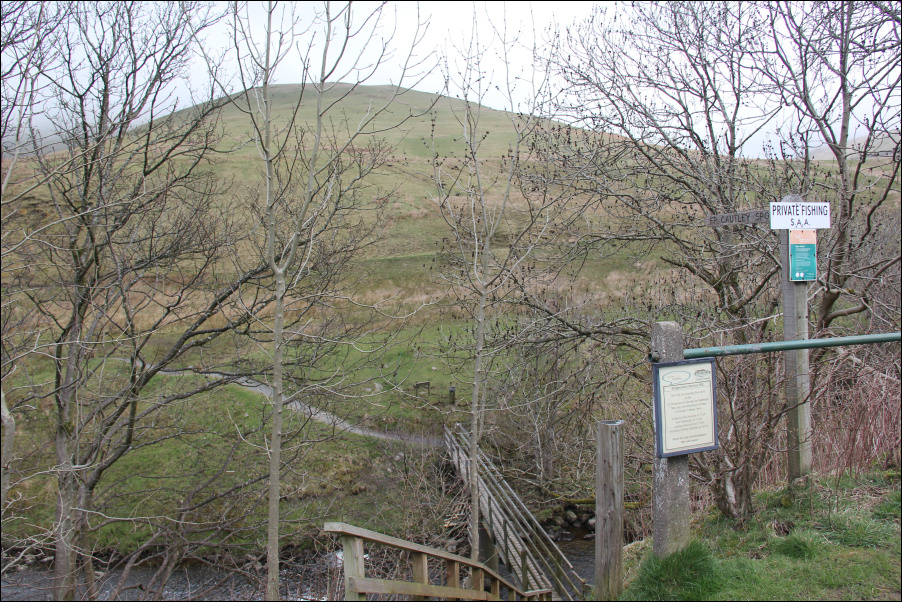
From the bus stop lay-by at Cross Keys, I descended a set of steps to reach a narrow wooden bridge over the River Rawthey.
Start of walk at Cross Keys:
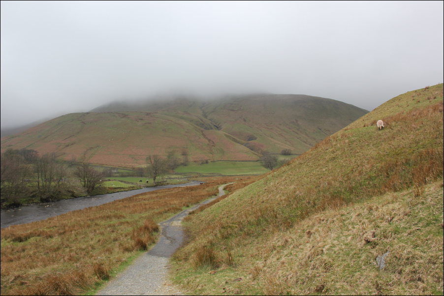
Once on the other side of the river, I followed a good track leading round towards Cautley Spout.
Track above the River Rawthey:
During the initial section of walk, I passed a number of ponies.
Ponies:

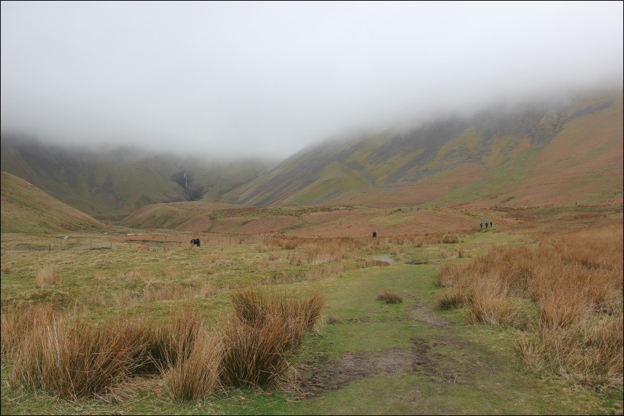
As I walked along the track, I could see Cautley Spout in the distance. It did not look particularly impressive from the track.
Track leading to Cautley Spout (Cautley Spout visible in distance):
On reaching the base of Cautley Spout, I could see two options. I could ascend the main path, an easy diagonal ramp heading to Bowderdale, or I could ascend an incredibly steep path right next to Cautley Spout. I opted for the incredibly steep path in order to get a close-up view of the waterfall.
I found the ascent of the track next to Cautley Spout a bit intimidating, possibly because of the strong winds and wet stones. The track is a man-made series of stone steps. There is definite death-fall potential if you were to slip and fall into the spout. I therefore took my time and was careful with every step.
"Climb if you will, but remember that courage and strength are nought without prudence, and that a momentary negligence may destroy the happiness of a lifetime. Do nothing in haste; look well to each step; and from the beginning think what may be the end." Whymper.
Cautley Spout (lower section):

It was really worth ascending the Cautley Spout track as from the track below you can only see the lower section of the fall. Cautley Spout is in fact England's highest (above-ground) cascade waterfall. I didn't realise this until writing up this report.
Cautley Spout (upper section):

Looking down from the steep Cautley Spout track:
I was somewhat relieved to reach the top of the spout. The track beyond was very straight-forward. During my ascent up to Swere Gill Head I passed a sheepfold.
Sheepfold:

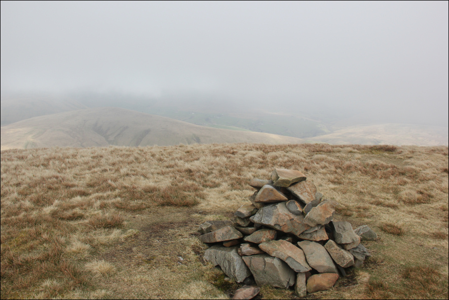
On reaching the main track beyond Swere Gill Head, I made my way towards Calders. Calders is a Hewitt.
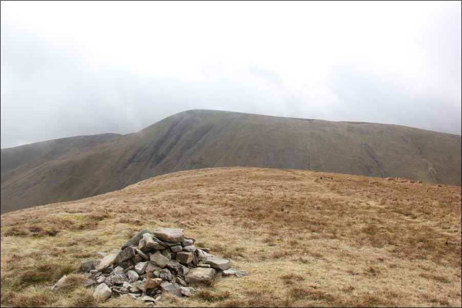
Cairn at summit of Calders:
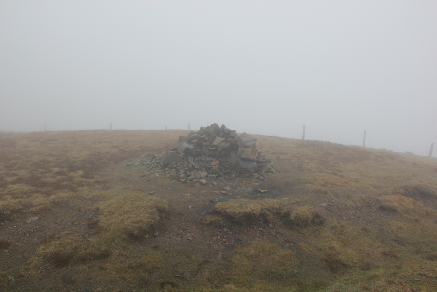
From Calders, I returned back to reach the summit of The Calf. It was really disappointing to undertake this walk in clag and to get no views from the summit. The Calf is a Marilyn, Hewitt and a Trail100 hill (allegedly the best 100 hills in the UK, NOT!).
Trig point at summit of The Calf:

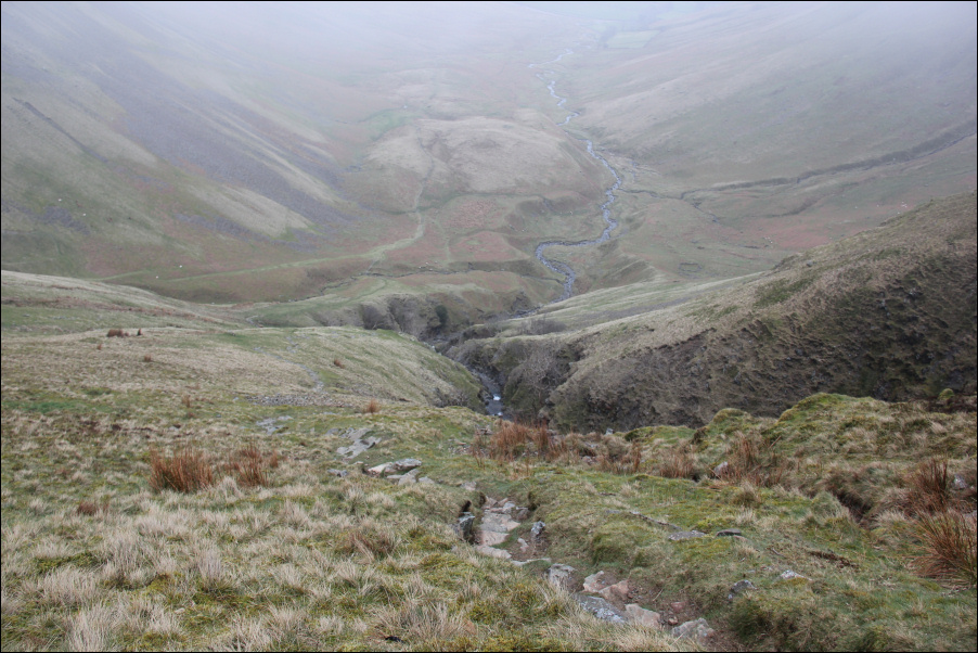
From the summit of The Calf, I began the long descent towards Bowderdale Beck.
Descent towards Bowderdale Beck:

Descent towards Bowderdale Beck:

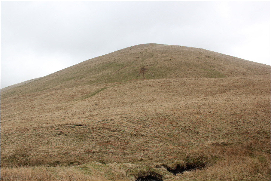
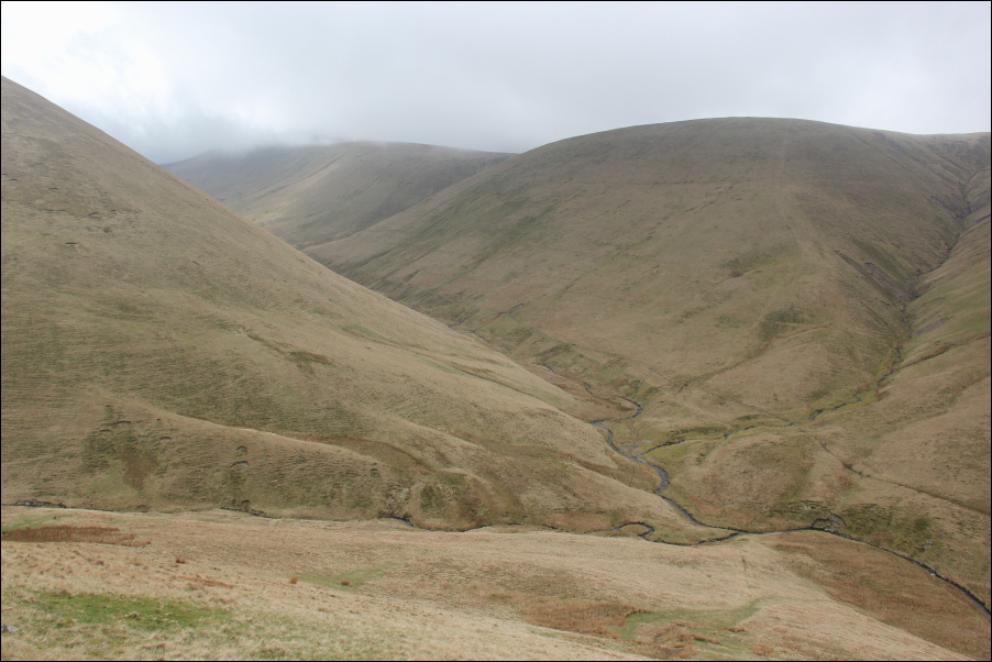
I followed the track alongside Bowderdale Beck with a view to subsequently ascending the South-East ridge of Yarlside. However, I still had plenty time and as the cloud was starting to lift, I decided to extend the walk by also ascending Randygill Top. The ascent of Randygill Top was fairly steep but not as steep as the ascent of Yarlside yet to come.
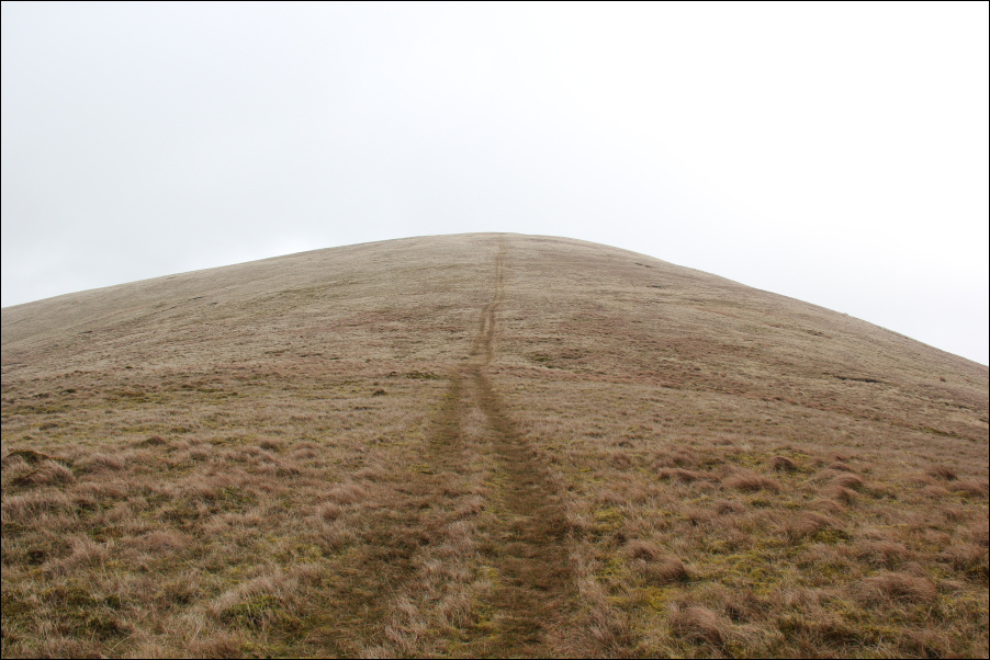
Steep ascent of Randygill Top:
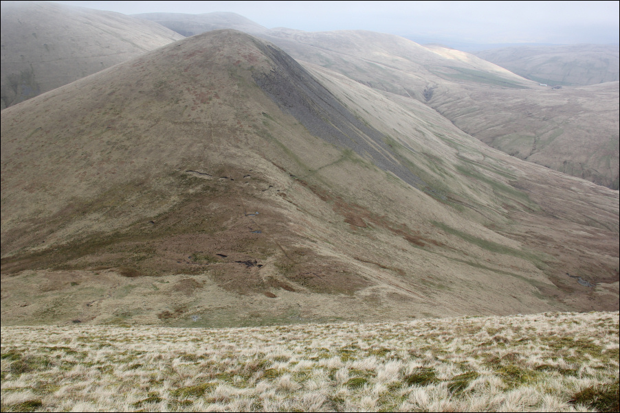
Looking across to Yarlside during ascent of Randygill Top:
Looking down to Bowderdale Beck during ascent of Randygill Top:
Final ascent of Randygill Top:
Randygill Top is a Hewitt.
At the summit of Randygill Top:

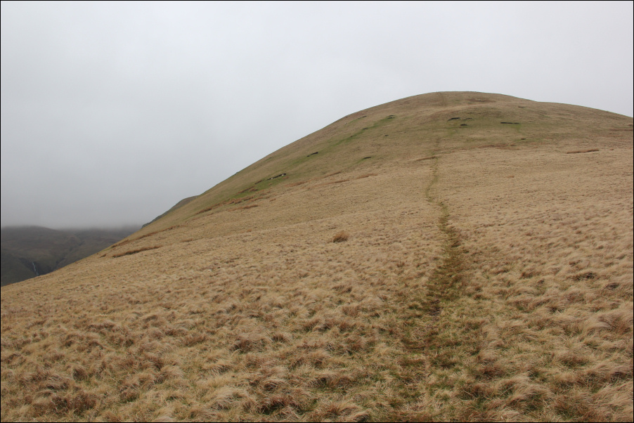
On reaching Randygill Top, the cloud started to drop again covering the tops. Next I made my way across to the top of Kensgriff.
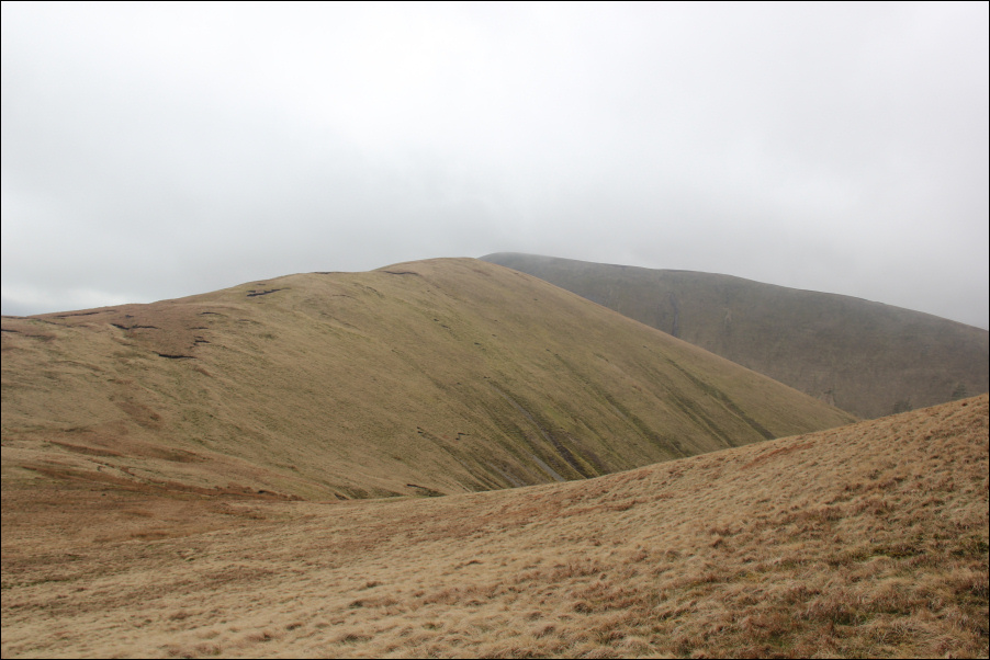
Heading for Kensgriff with Yarlside beyond:
Looking back to Randygill Top:
At the summit of Kensgriff:
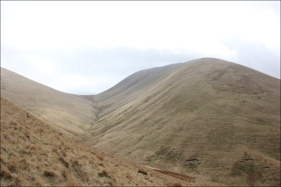
From Kensgriff, I dropped to the col between it and Yarlside. As I went I was wondering how on earth I would ascend the steep hillside ahead?
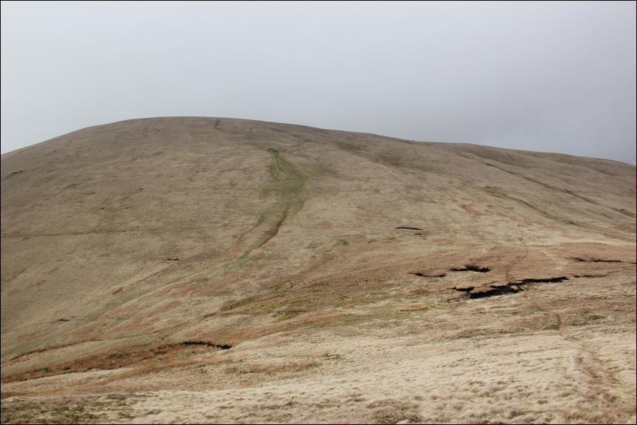
Looking towards very steep ascent of Yarlside:
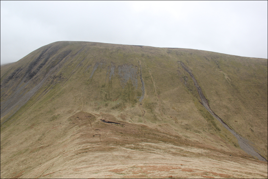
The ascent of Yarlside was not as difficult as anticipated. Yes, it is steep but there are lots of grassy bumps that can be used as steps. My thighs and calves got a good workout.
Looking down on Kensgriff during steep ascent of Yarlside:
On reaching the summit of Yarlside, all of the steep ascents were over. Yarlside is a Marilyn and a Hewitt. All I now had to do was descend back to Cross Keys. The South-East ridge looked good on the map, so I decided to give it a go.
At the summit of Yarlside:
During the descent, it was nice to once again drop below the clag. The descent via the South-East ridge was very good.
Descent towards Ben End (SE ridge):

Looking back at descent from Yarlside:
During the descent, I stopped to photograph the Cautley Spout cascades.
Cautley Spout (zoom):

Looking across to Cautley Crag:

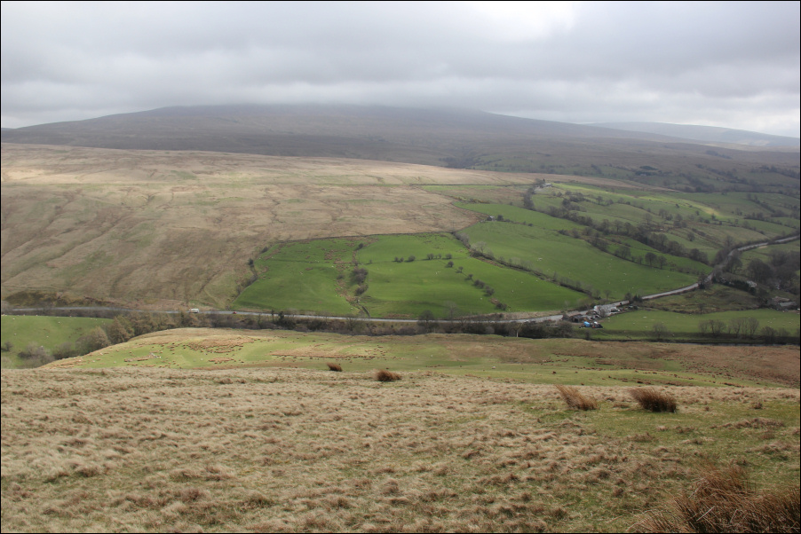
Looking down to A683:
River Rawthey from wooden bridge:

I enjoyed the walk today despite the low-cloud and strong winds. I just feel that I missed out a lot on views on this one.