
Date: Sunday 13th September 2015
Company: Myself and Cuillin
Distance: 9.2km, Ascent: 490m
Time: 2Hrs 25Mins
On looking out my kitchen window at lunchtime today, in the distance Mither Tap looked particularly inviting; there was a good mix of cumulus, cirrus and cumulonimbus clouds as well as lots of blue sky.
Bennachie has several car parks. Today, I made my way to the Back o' Bennachie car park which is my favourite starting point for this hill. I have ascended Bennachie countless times previously. It is an iconic Aberdeenshire hill.
Click here to see a map of the route undertaken
The Back o'Bennachie car park is now a pay & display car park. The cost is currently £2 for the day or £1.50 for 3 hours. Much of the income generated from the Forestry Commission car parks fund path maintenance.
During the ascent up through the trees, I stopped briefly at the stepping stones.
Inscribed stepping stones:

Circa five minutes walk beyond the stepping stones, we cleared the forest exiting out into beautiful blue skies.
Out of the forest:

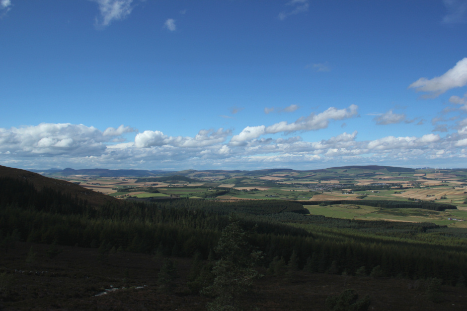
We initially made our way towards Little Oxencraig. The remains of an old quarry can be found at Little Oxencraig. During the ascent I took a few photos of North Aberdeenshire.
North Aberdeenshire:

North Aberdeenshire:
We stopped briefly at Little Oxencraig before continuing onto Oxencraig.
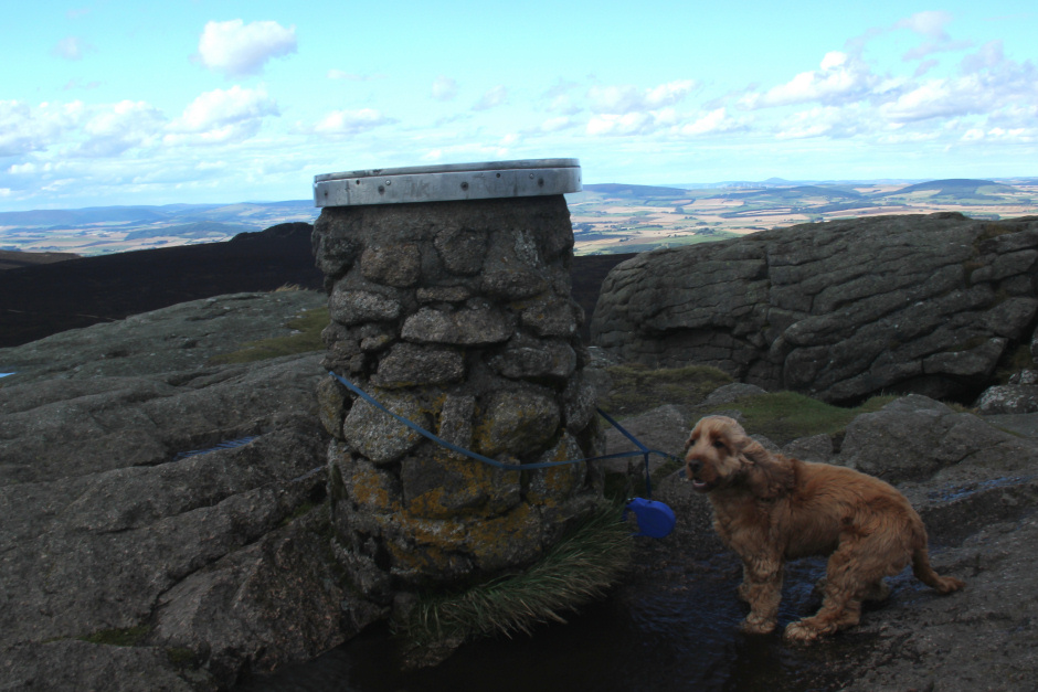
Despite Mither Tap being the most prominent and well known feature of Bennachie, it is not the summit. Oxencraig is 10m higher than Mither Tap.
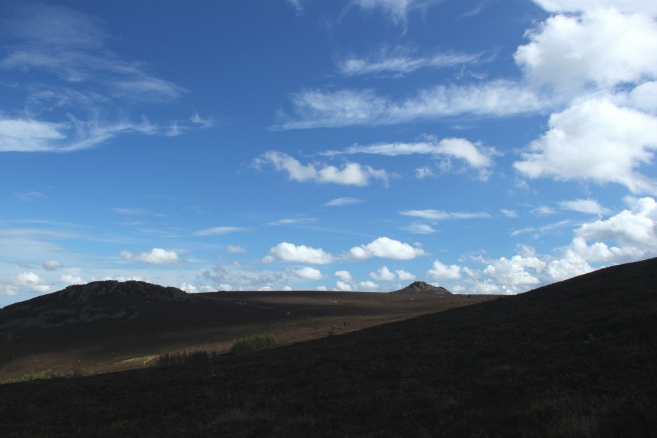
Looking towards Oxencraig from Little Oxencraig:

Looking across to Craigshannoch and Mither Tap:
Again I stopped briefly at Oxencraig to take some photos and to soak in the views.
In the distance I could see a significant number of people atop Mither Tap. In comparison, we had the actual summit to ourselves.
Cuillin at Oxencraig, the summit of Bennachie:

From Oxencraig, we made our way across to Mither Tap.
Heading from Oxencraig to Mither Tap:

Looking back to Oxencraig:
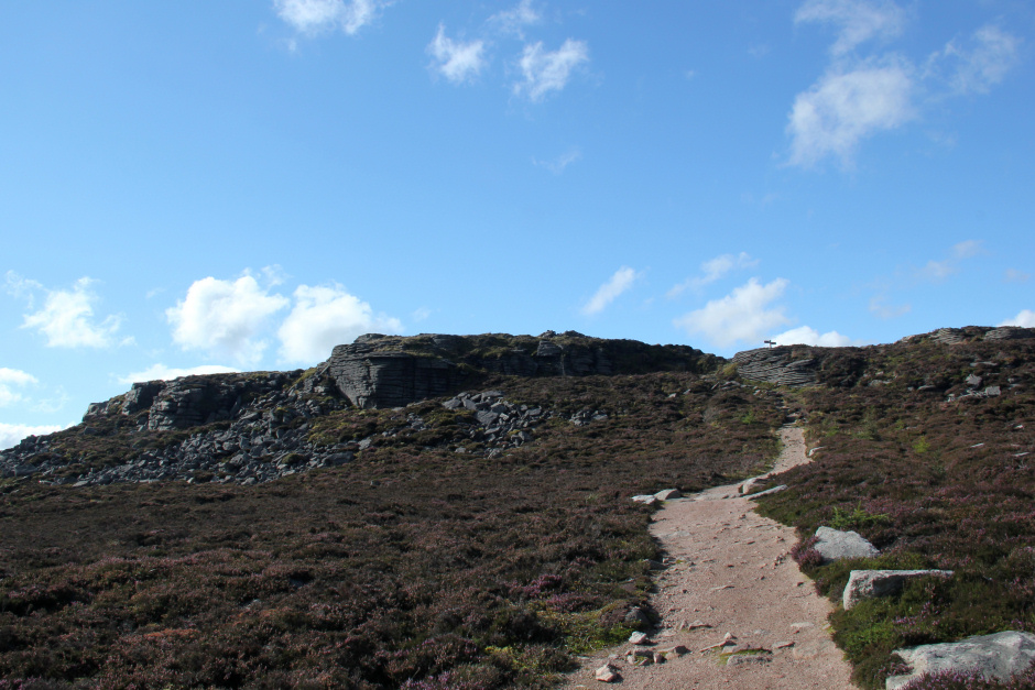
Mither Tap:

The summit rocks of Mither Tap are very impressive. I am aware of only two rock climbs on Mither Tap: Mitherficker and Fingerficker, both E3! From looking at the rocks there must be other potential routes here.
Mither Tap:

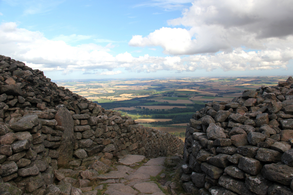
On skirting round Mither Tap another impressive feature can be found. Mither Tap has an Iron Age hill fort just below the summit. Apparently the date the hill fort was built is unknown but it is believed to have been built between 500BC and 500AD. Charcoal from the fort has been carbon-dated as being from 350AD.
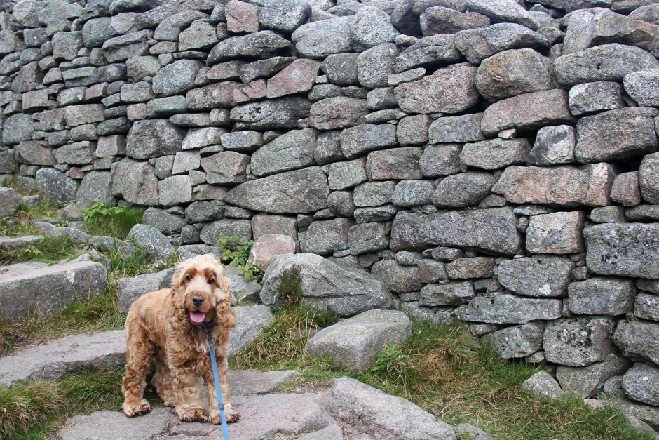
Cuillin at the Mither Tap fort:
Cuillin at the summit of Mither Tap:
It would have been nice to spend some more time at the summit of Mither Tap had it not been so busy. We spent a few minutes up there before retreating away from the crowds. I prefer my hills quiet.
At the summit of Mither Tap:

Looking down to the Mither Tap hill fort:

Descending through the iron age hill fort:
From Mither Tap, we made our way back towards the Back o' Bennachie car park via another top, Craigshannoch.
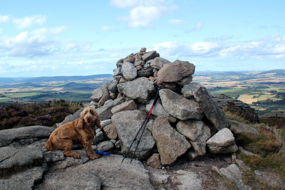
Cuillin at the summit of Craigshannoch:
I never tire of ascending Bennachie. It is a fantastic hill that I enjoy repeating time and time again.