
Date: Friday 13th November 2015
Company: Just myself
Distance: 15.8km, Ascent: 305m
Time: 4Hrs
Coastal Walk Index
The weather forecast for the hills today was not good. I therefore decided to walk the section of Aberdeenshire Coastal path from Collieston to Whinnyfold. I last visited Collieston in December 2014 when I walked the coast from Collieston to Newburgh.
I drove from home to Collieston where I parked in the Cransdale car park next to the Cransdale viewpoint.
Click here to see a map of the route undertaken
Before setting off along the coastal path, I walked up to the viewpoint to take a couple of photographs.
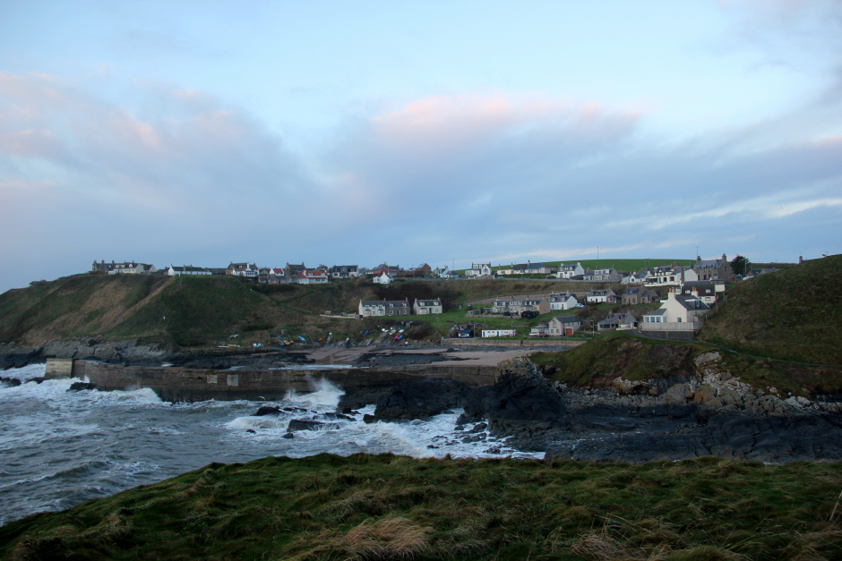
Collieston from viewpoint:
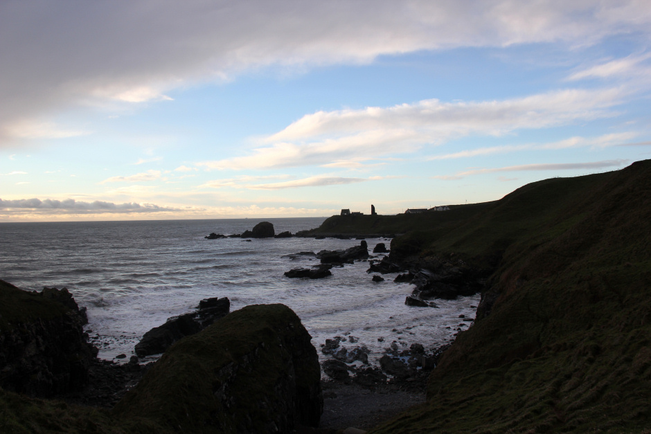
Looking down the coast towards Aberdeen from viewpoint:

From the car park, I ascended steeply via a number of rock steps to reach the top of the cliffs. There is a sign in the car park advising of steep and narrow sections. As well as steep and narrow sections there was today, thanks to Storm Abigail the night previous, also lots of wet, slippery grass and mud.
Start of coastal "path" leading to Whinnyfold:

Looking back to Collieston:

A short distance beyond Collieston, I came to a crag called the Graip. I last climbed here circa 12 years ago.
The Graip:

Before long I could see the remains of Old Slains Castle, also known as the Old Castle of Slains, in the distance.
Looking back to Aver Hill:

Looking towards remains of Old Slains Castle:

I was really surprised to see a modern house built right up close to the old castle. How on earth did they get planning permission to build a house so close to a C13th ruin.
Remains of Old Slains Castle:

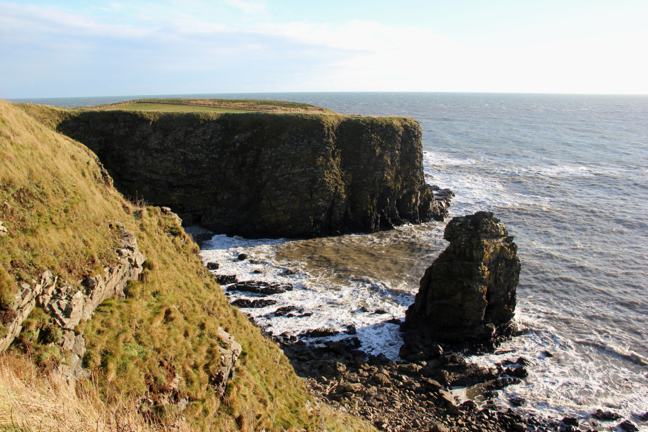
Beyond Old Slains Castle, I skirted round the top of Broad Haven.
Broad Haven:

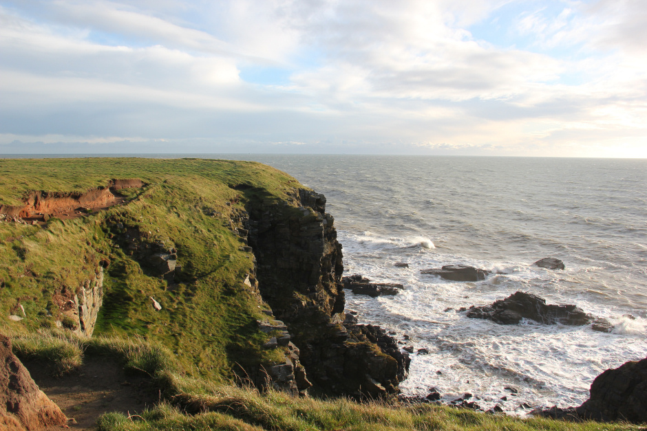
The walk today involved skirting round numerous inlets sometimes via fairly narrow muddy paths with sizeable drops below. You definitely need to take care if undertaking this walk; don't expect to find a good path.
Cook Craig:

Looking back towards Old Slains Castle:
Distant crepuscular rays:

Looking back towards Old Slains Castle:

Although the path is not fantastic, there are small bridges over most of the burns, there are gates and stiles over fences and there are coastal trail marker posts.
Lots of inlets:

However, at the widest of the burns there is no bridge. Instead I used a few rocks as stepping stones to get across. There is a small waterfall a short distance below the crossing point.
Looking back to small waterfall and burn at Crinkle Den:

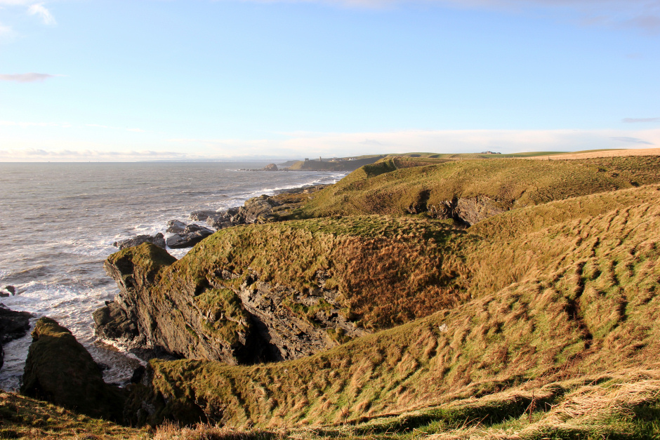
Looking back along the undulating coast:
Bruce's Haven:

Beyond Bruce's Haven:
The wildlife highlight of the day was seeing lots of geese.
Large flock of geese:

On reaching a really narrow section with a large drop below, I took hold of the fence and received a shock. The fence running along the clifftop is electrified although there are no signs to advise of this fact.
The Veshels?:

Large flock of geese again:

On again seeing the flock, I was sad to find an injured goose which couldn't fly off with the others. Its flank was covered in blood; not sure if it had been shot, had caught itself on barbed wire or been attacked by a predator.
Geese getting into formation:

Looking towards Whinnyfold:

The Veshels area:
On reaching Whinnyfold, I walked back along the minor road leading back to Collieston.
Shore below Whinnyfold:

It was nice to see New Slains Castle in the distance. New Slains is a fantastic ruin which can be visited on the terrific stretch of coast between Cruden Bay and Peterhead. This castle may have been the inspiration for Dracula.
New Slains Castle (zoom):

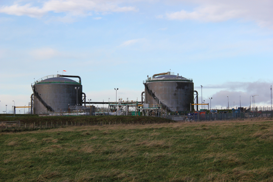
BP Cruden Bay Pumping Station:
Heading back to Collieston:

Only Menie Links to Newburgh still to walk to complete the entire length of coast from Aberdeen to Forres.