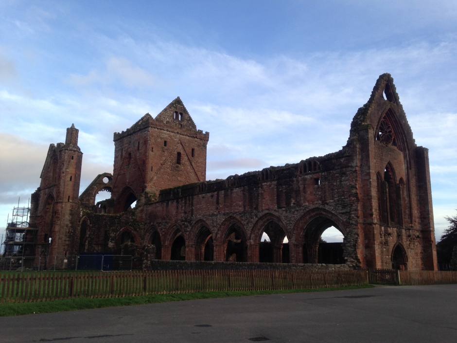
On Monday evening, I parked up at Sweetheart Abbey, New Abbey which provided a degree of shelter from the really strong winds. The van was fair rocking but I avoided being seasick. On Tuesday morning, I set off around 07:00 to ascend Criffel. On setting off, it was still very windy.
Hill: Criffel
Date: Tuesday 17th October 2017
Company: Just myself
Distance: 5.2km, Ascent: 510m
Time: 2Hrs 15Mins
For my ascent of Criffel, I parked-up at Ardwall for an ascent via the standard route of ascent.
Click here to see a map of the route undertaken
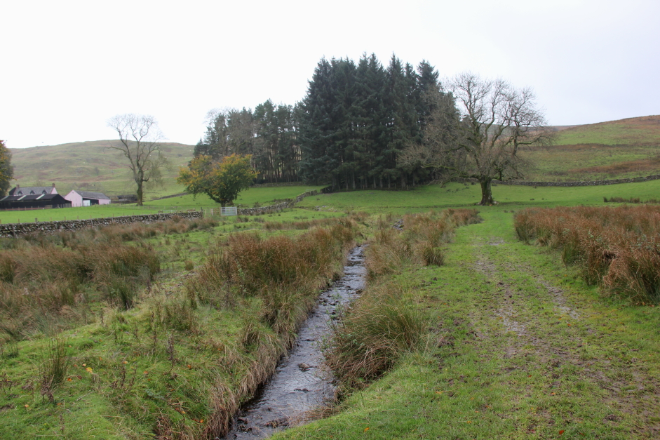
Criffel from Ardwall:
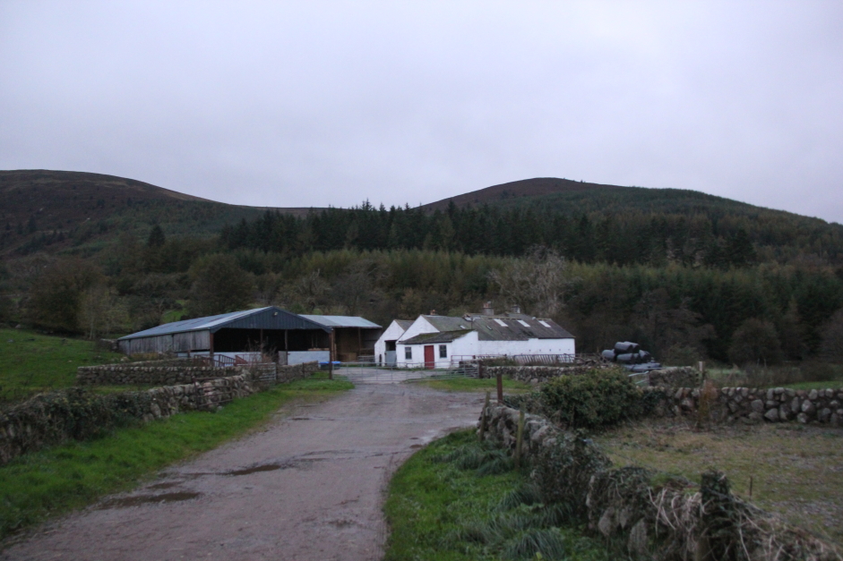
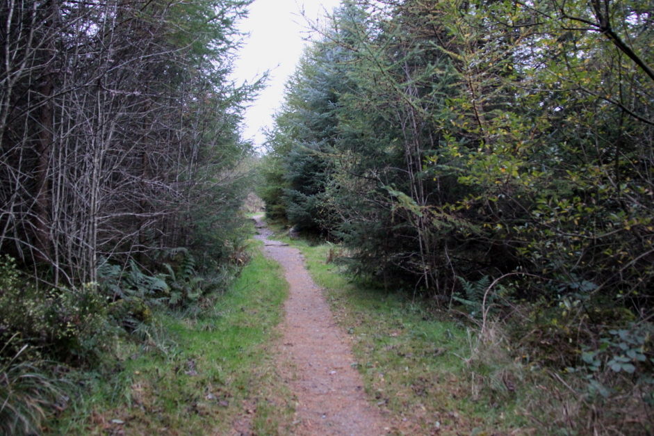
Setting off along the track towards Criffel:
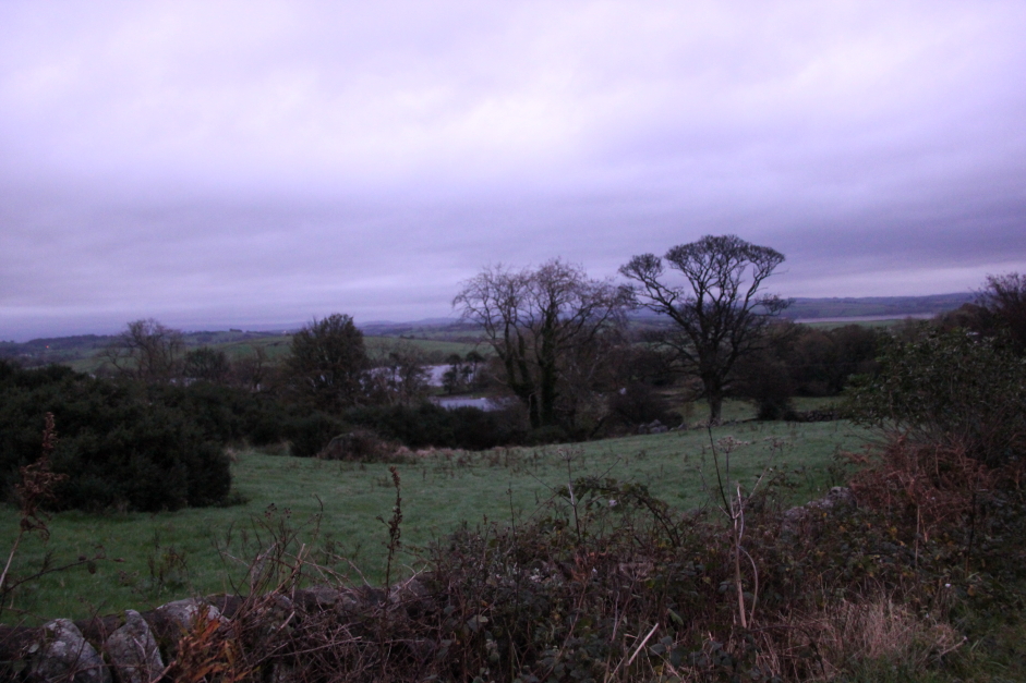
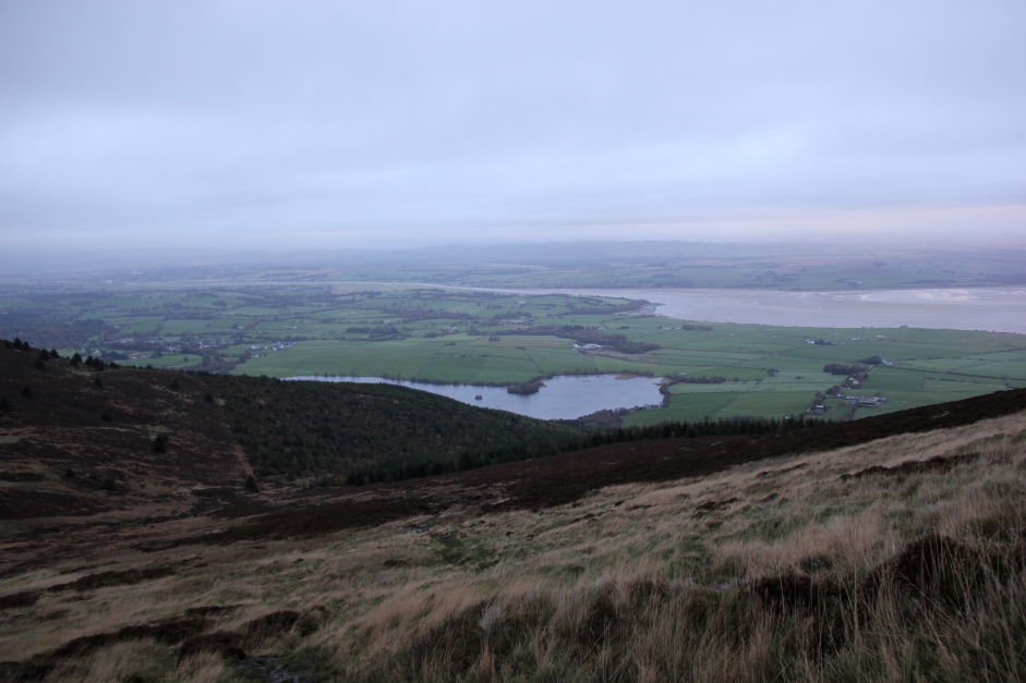
Looking back towards Loch Kindar:
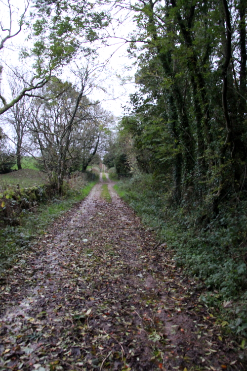
The initial track ascending Criffel is very good.
Onto the good footpath ascending Criffel:
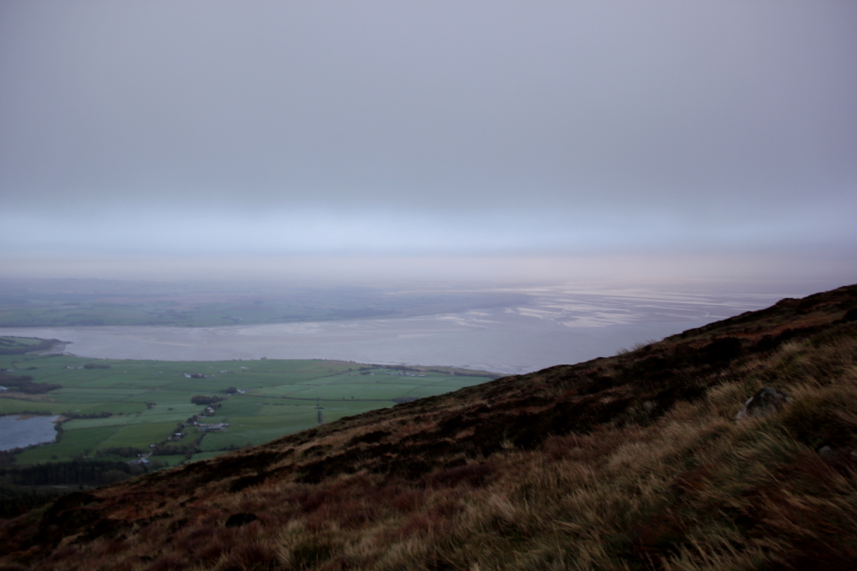
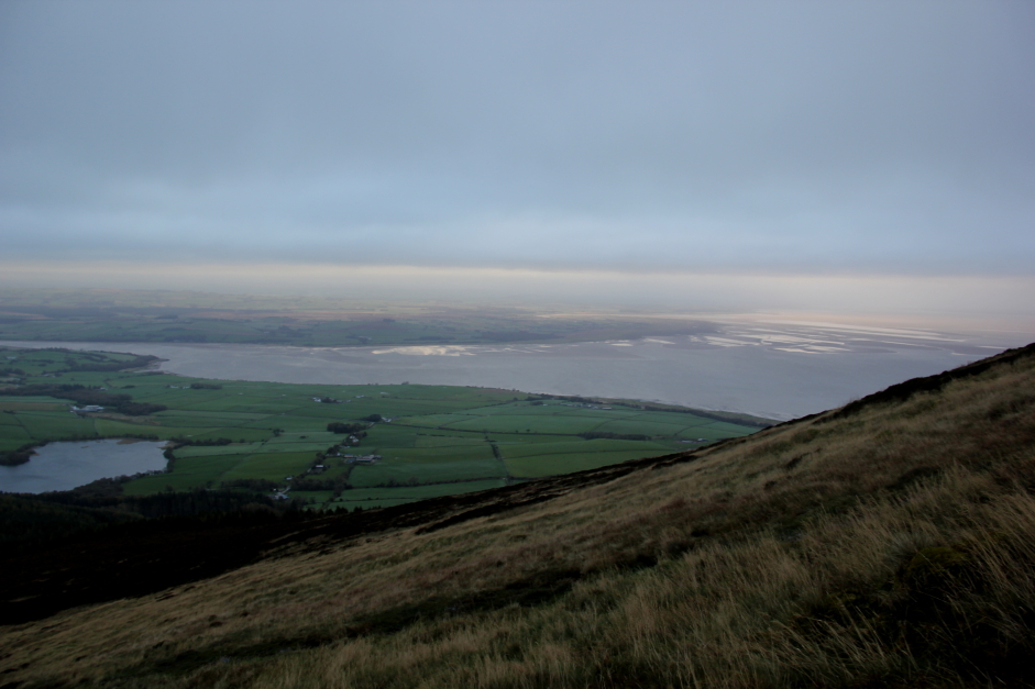
It was nice to look back and see the Solway Firth. During the initial ascent the wind was not too bad as the trees provided some shelter.
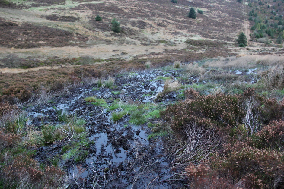
About half-way up the hill the excellent path becomes an appallingly bad path - one of the worst I have come across.
Looking back towards Loch Kindar and the Solway Firth:
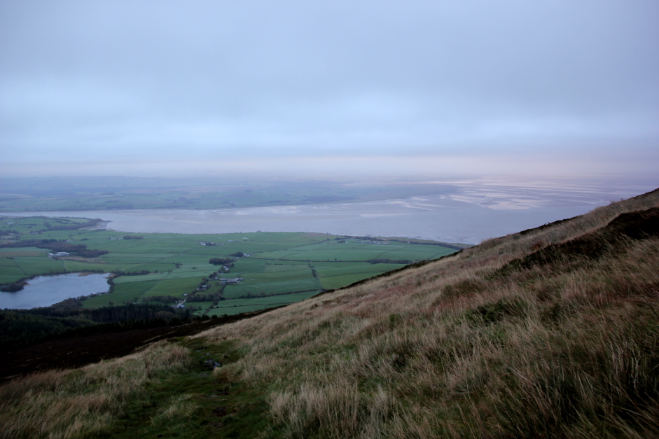
However, as I gained more and more height the winds become stronger and stronger.
Solway Firth:
Ascending Criffel:
Solway Firth:
On approaching the summit the winds were seriously strong so much so that it was difficult to get the camera to focus as it was getting blown about so much in the wind.
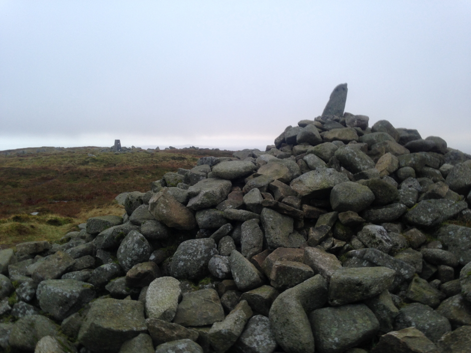
I visited the trig point and then Douglas's Cairn before immediately heading back down.
At the summit trig point:
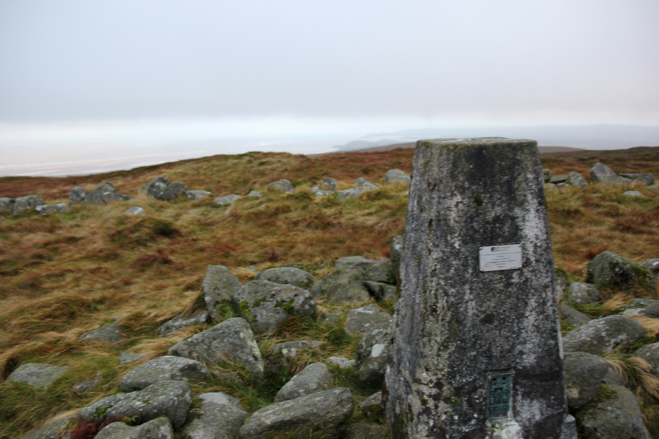
Douglas's Cairn from the summit trig point:
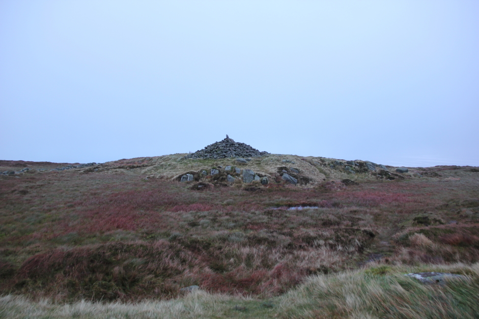
At Douglas's Cairn:
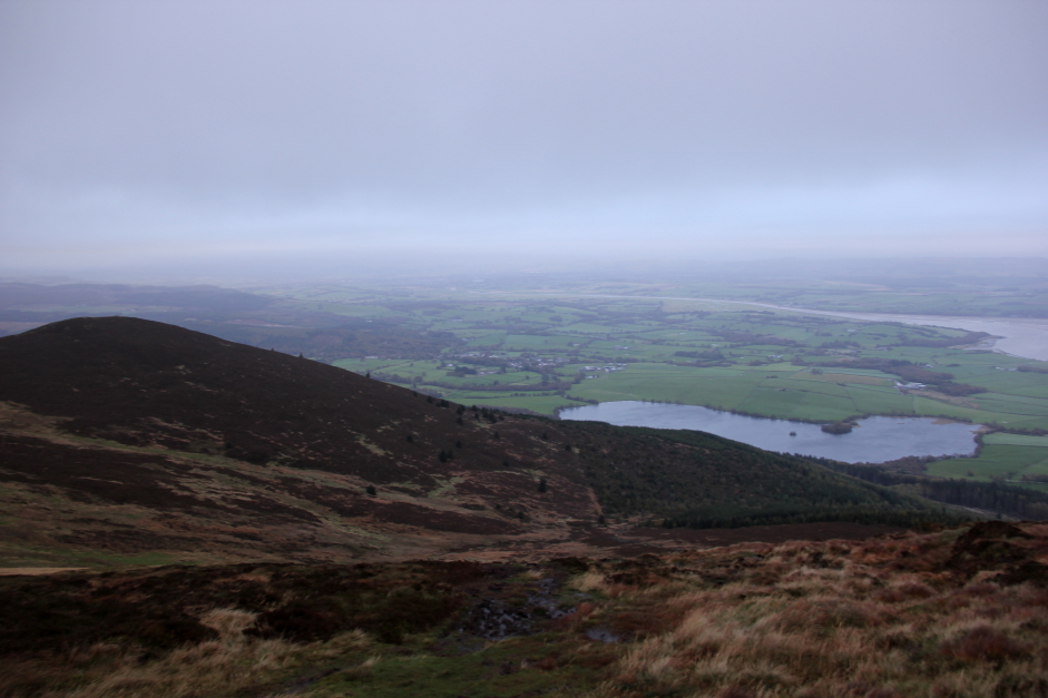
Solway Firth viewed during descent:
The next photo shows the awful condition of the path ascending/descending the upper half of Criffel.
Mudfest:
After ascending Criffel, I made my way back towards New Abbey and then a few kilometres beyond to Mabie Forest for an ascent of Woodhead Hill.
Hill: Woodhead Hill
Date: Tuesday 17th October 2017
Company: Just myself
Distance: 7.1km, Ascent: 260m
Time: 1Hr 35Mins
Mabie Forest is better known for its cycle trails than its hills. The forest contains the Seven Stanes cycle trails. I followed these trails for much of the walk. I paid £2 in the car park for 3 hours parking.
Click here to see a map of the route undertaken
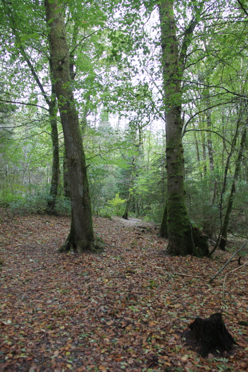
From the car park, I followed a nice trail through an oak wood before coming out onto one of the main tracks through the wood.
Track from car park:
Onto one of the main tracks:
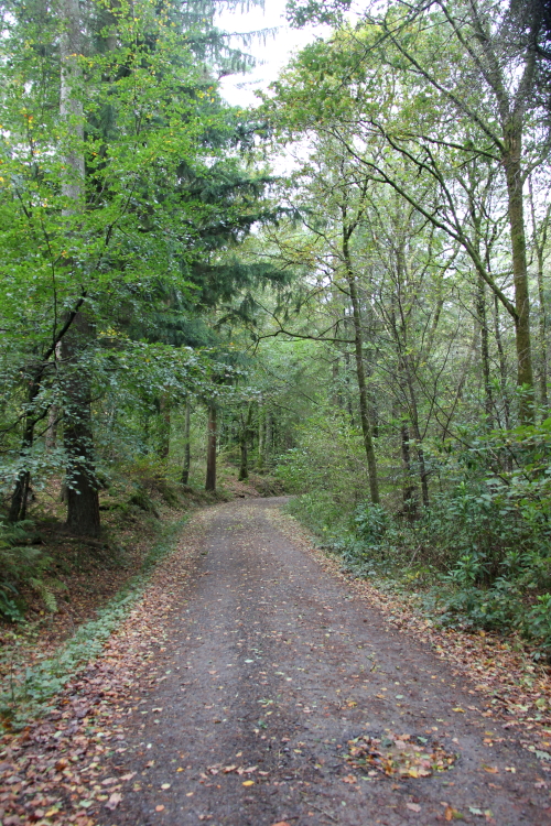
I followed the main track for a mile or so before taking a right turn up towards Woodhead Hill.
Seven Stanes Cycle Trails:
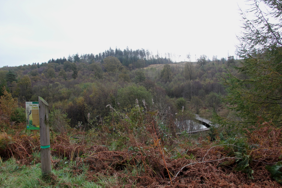
View towards Woodhead Hill:
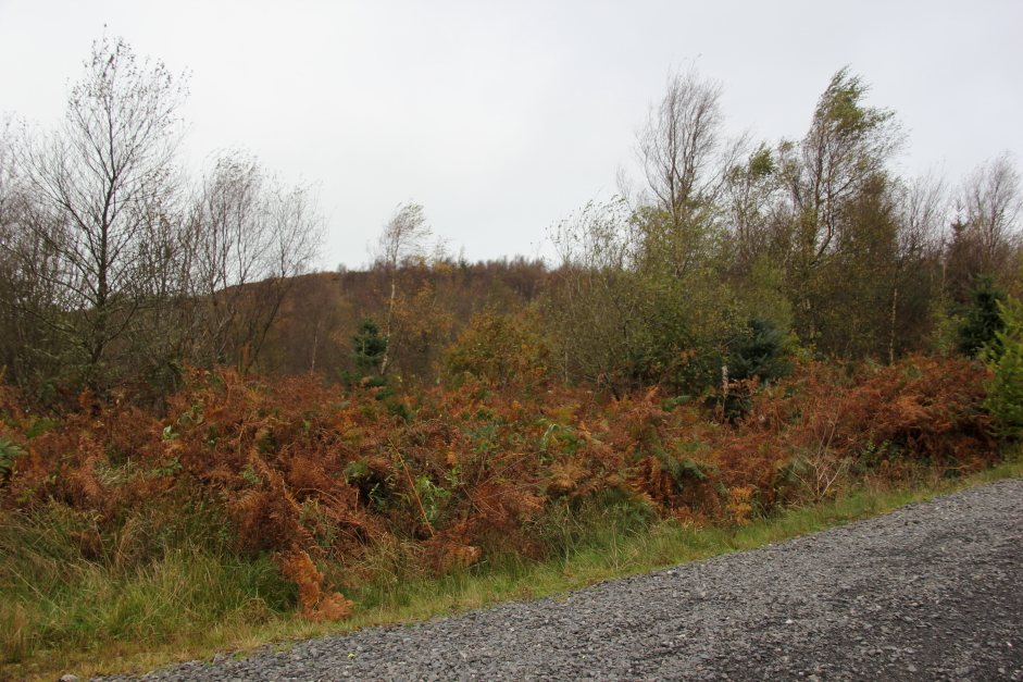
Woodhead Hill:
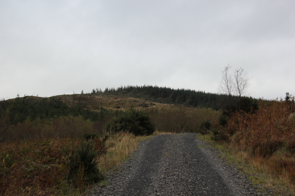
I was pleasantly surprised to find a small path leading up towards the summit.
Following the path leading towards the summit:
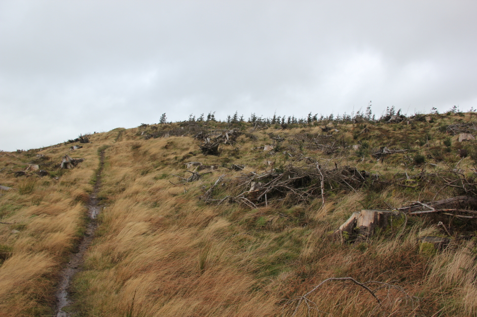
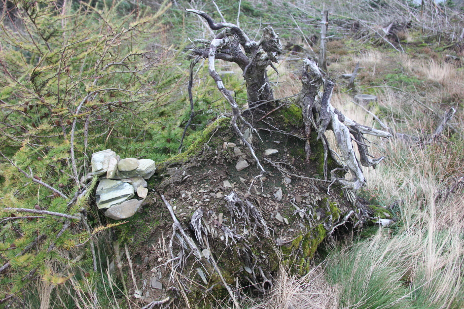
The final hundred metres to the summit involves crossing an area of felled trees. Not pleasant terrain but at least it was short-lived as I soon reached the summit. The summit is allegedly the small cairn on the tree stump.
Summit of Woodhead Hill:
I returned to the car via exactly the same route then visited Dumfries for some lunch. After lunch, I decided to ascend a third Marilyn.
Hill: Bennan
Date: Tuesday 17th October 2017
Company: Just myself
Distance:7.9km , Ascent: 265m
Time: 2Hrs 15Mins
On arriving at the starting point, I was in two minds whether to ascend Bennan, Bishop Forest Hill or both, as both start from the same small car park. Regardless, I opted to ascend Bennan first as it was the longest of the two hills.
I opted for a fairly direct ascent of the hill instead of walking a bit further along the road to use a forestry track. In hindsight, this was not a good plan as I had to cross some awful terrain and climb over three dry stane dykes. I would recommend therefore using the forestry track in ascent and descent.
Click here to see a map of the route undertaken
Margreig:
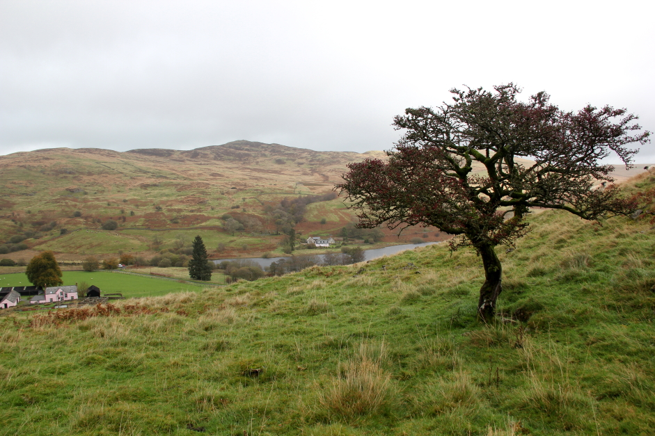
My favourite sighting of the walk was seeing a lovely Hawthorn tree which was covered in berries. I have around twenty hawthorn in my garden but none have as yet had berries.
Margreig and nice Hawthorn tree:
I didn't take many photos during the ascent as it was wet and misty and the terrain was so bad I was concentrating on not twisting an ankle.
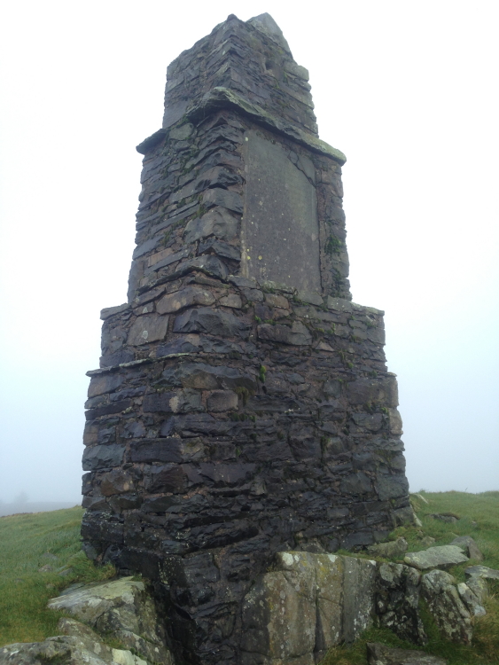
It was a relief to eventually see Turner's Monument come into view at the summit of Bennan.
Approaching Turner's Monument at the summit of Bennan:
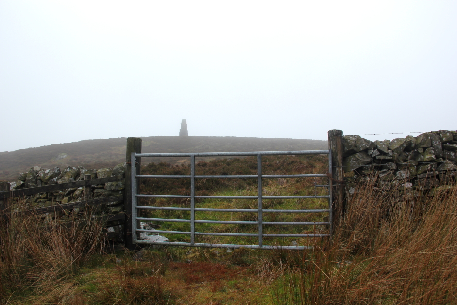
Turner's Monument:
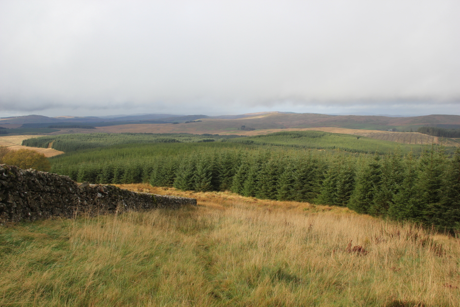
There was no way I was returning the same way, so I opted to descend towards the forestry track and follow it back down to the road. The initial descent to reach the start of the forestry track was also fairly unpleasant - knee to waist high tussocks.
Descent towards the forest:
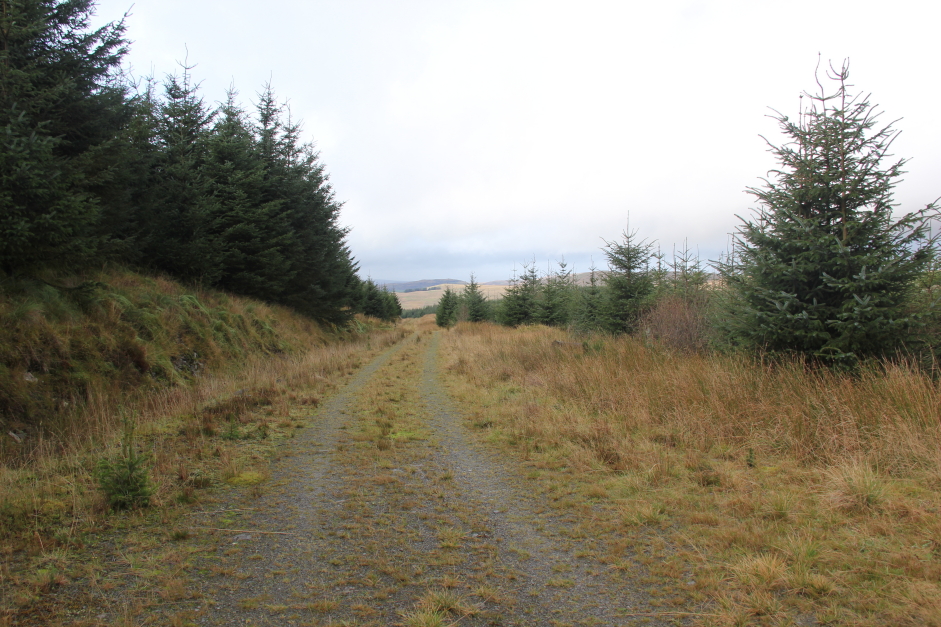
Onto the good forest tracks:
On reaching the car, I decided three Marilyns were sufficient for the day and I would return in the future for an ascent of Bishop Forest Hill. I returned to Dumfries for dinner and then to Sweetheart Abbey to again park-up for tonight.
Sweetheart Abbey, New Abbey: