
Date: Saturday 22nd December 2018
Company: Myself and Ann-Marie
Distance: 11.7km, Ascent: 815m
Time: 5Hrs 35Mins
The MWIS forecast for the West Highlands was not fantastic and the North-West Highlands one was only marginally better. However, on checking out the MetOffice app satellite imagery on my iPhone, it suggested lots of rain to the south of the A887 but none to the north. We therefore made our way from Fort William towards Glen Shiel for an ascent of Ciste Dhubh.
The MetOffice app predictions turned out to be a work of fiction as despite heading north of the A887, we had rain and snow throughout most of the walk.
Click here to see a map of the route undertaken
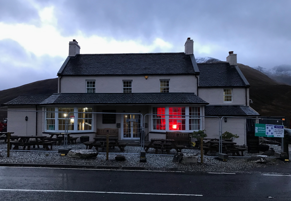
We parked in the small car park opposite the Cluanie Inn before walking a short distance back along the A887 to reach the start of the An Caorann Beag track. There were no other cars in the car park when we arrived and there were still no cars in the car park when we returned. We saw no-one else out walking throughout the day.
Cluanie Inn:
Track alongside the Allt a' Chaorainn Bhig:
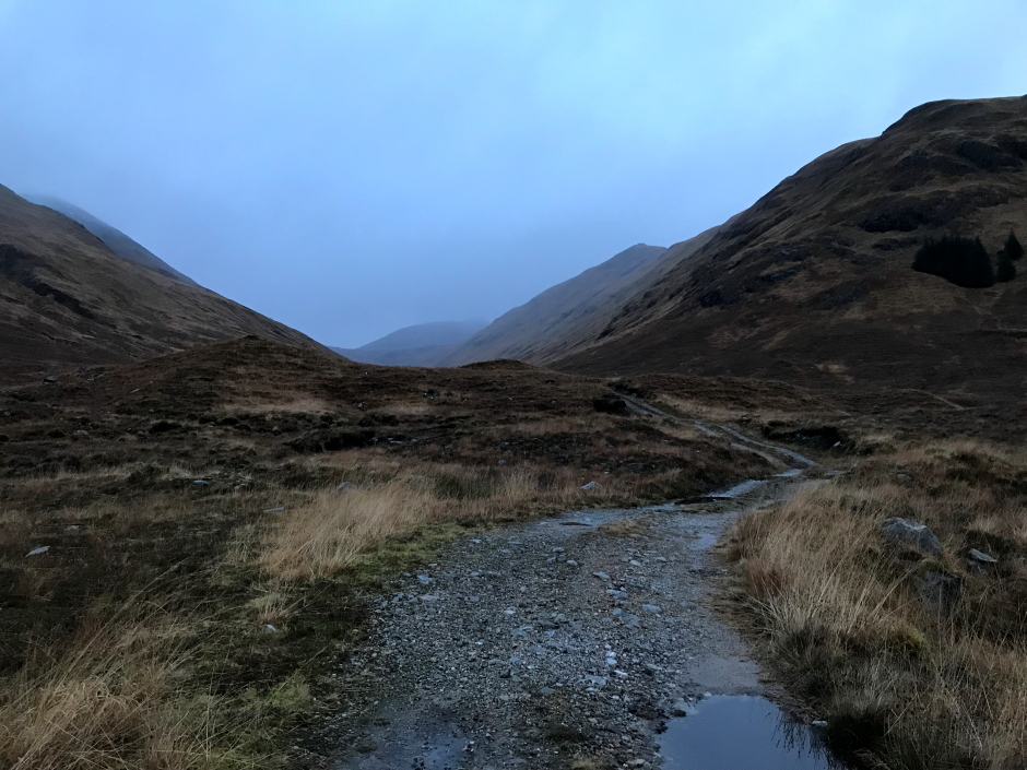
On reaching the end of the An Caorann Beag track (as marked on the map), the track does actually continue on for a further two kilometres. These further two kilometres were very wet underfoot, literally squelch, squelch, squelch with every step.
Despite the horrible underfoot conditions, it didn't take long to reach the coire wall beyond which lies the Bealach a' Choinich.
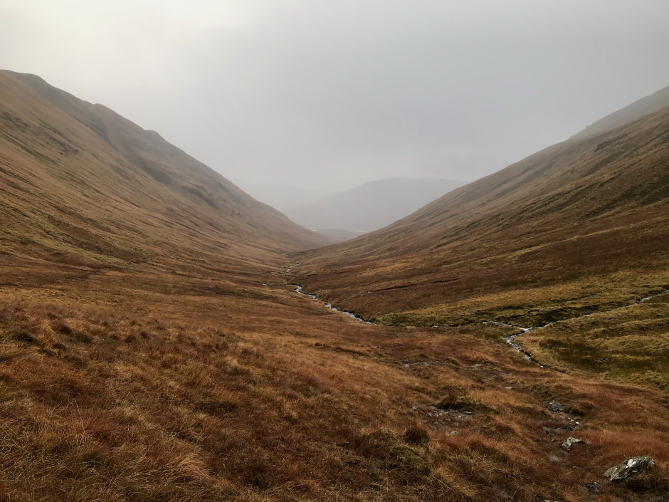
Looking back along An Caorann Beag:
By the time we reached the Bealach a' Choinich we were already soaked and were glad that we had decided to forego also ascending the Corbett, Am Bathach.
Approaching the Bealach a' Choinich:
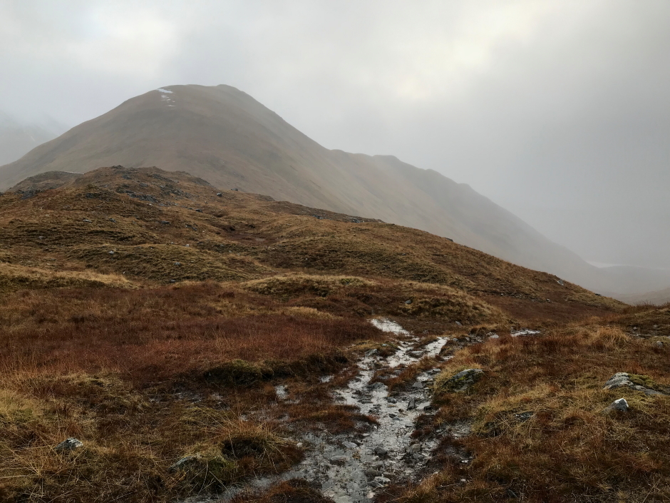
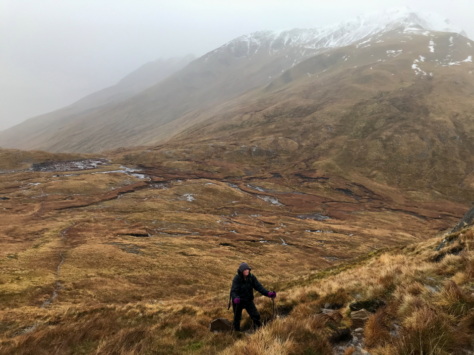
From the bealach, we followed a path ascending south and then south-west towards the 877m top of Ciste Dhubh. During the ascent we could see snow atop the Brothers ridge and so expected similar on the upper slopes of Ciste Dhubh.
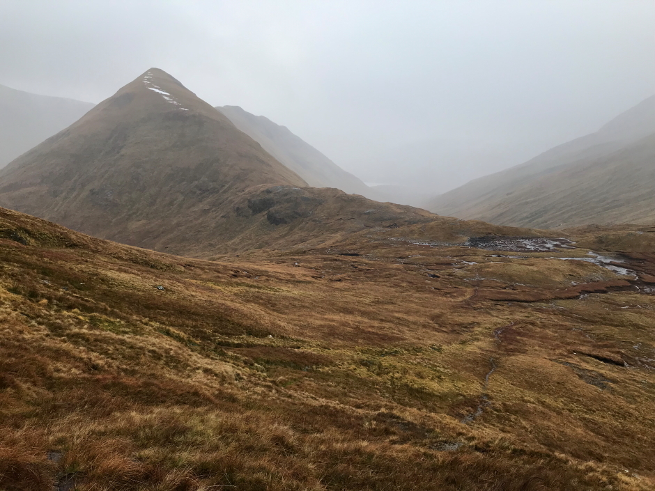
Looking down to the Bealach a' Choinich:
Looking across to Am Bathach:
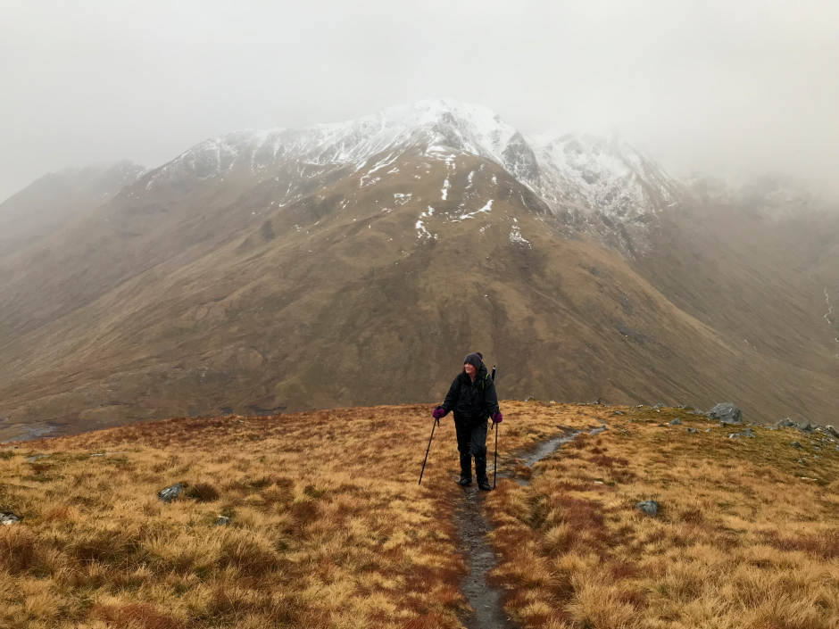
As the gradient eased on reaching the ridge, we encountered only patches of snow.
Onto the SW ridge leading to the 877m top:
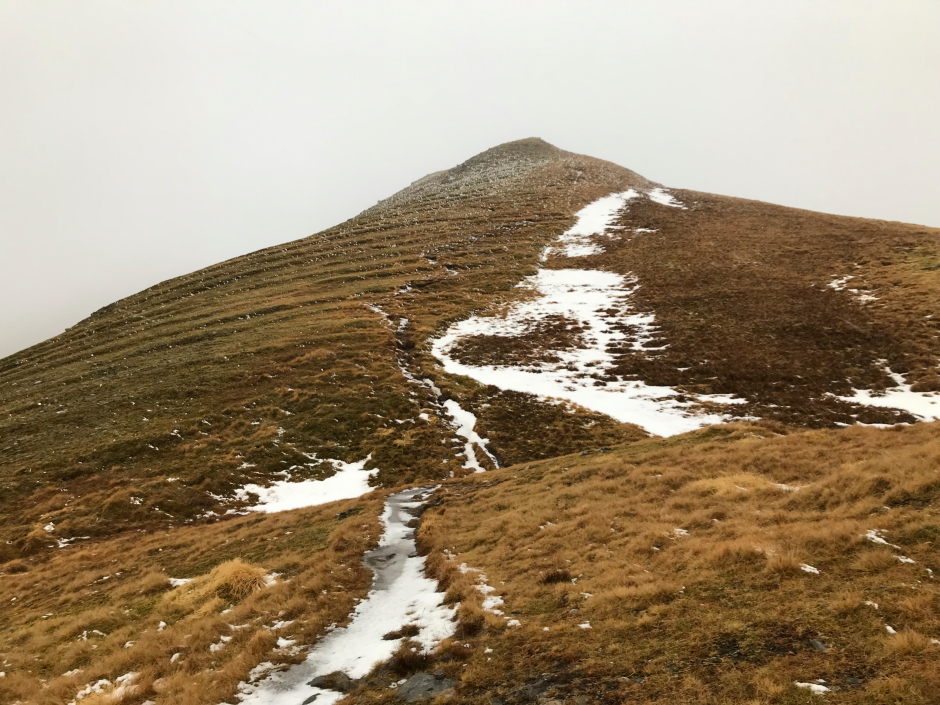
I stopped to take a photo of solifluction on the 877m top; small terraces formed by soil movement down the slope.
Ascending 877m top of Ciste Dhubh:
As we continued along the ridge we came to a short bypass skirting around a rocky section. While on the short bypass we stopped briefly to get our axes out. In hindsight, we should have got our axes out and put on crampons before this section. However, as soon as we were past the bypass we stopped to put on crampons for the final ridge ahead. Most of the snow was soft but there were some patches of ice beneath the snow and this ridge is no place for a slip.
Looking back:
With crampons on and axes in hand we continued up the ridge towards the 929m top. This part of the ridge was straight-forward.
Looking back during ascent of the 929m top:
Looking back during ascent of the 929m top:
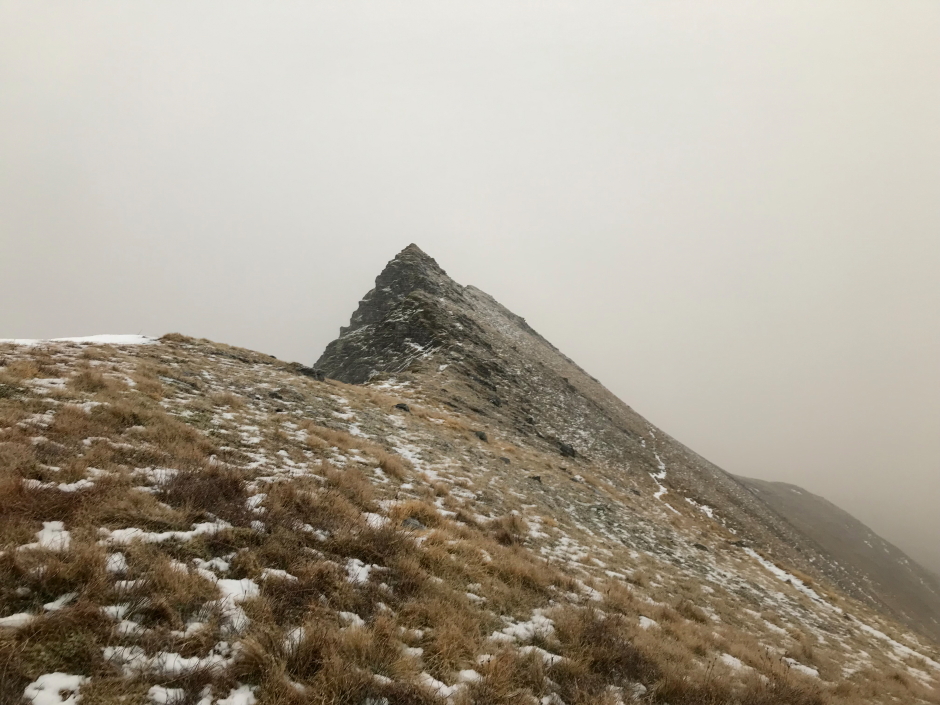
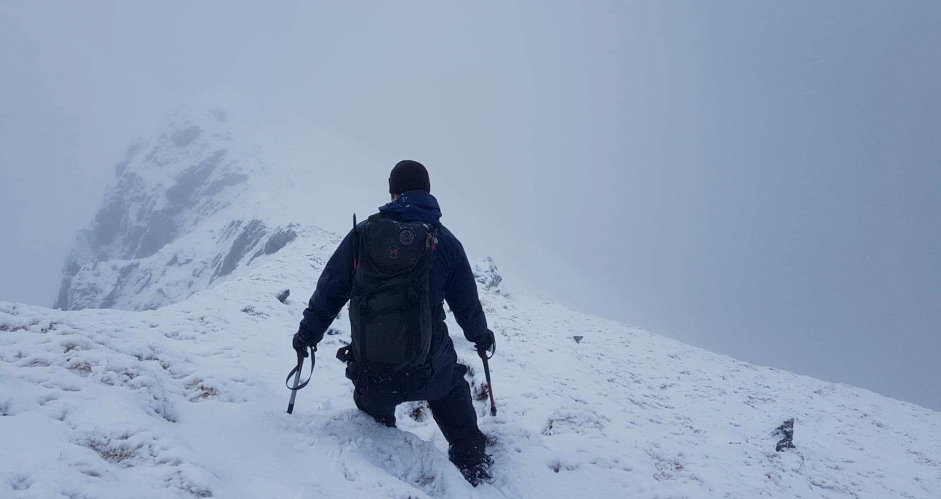
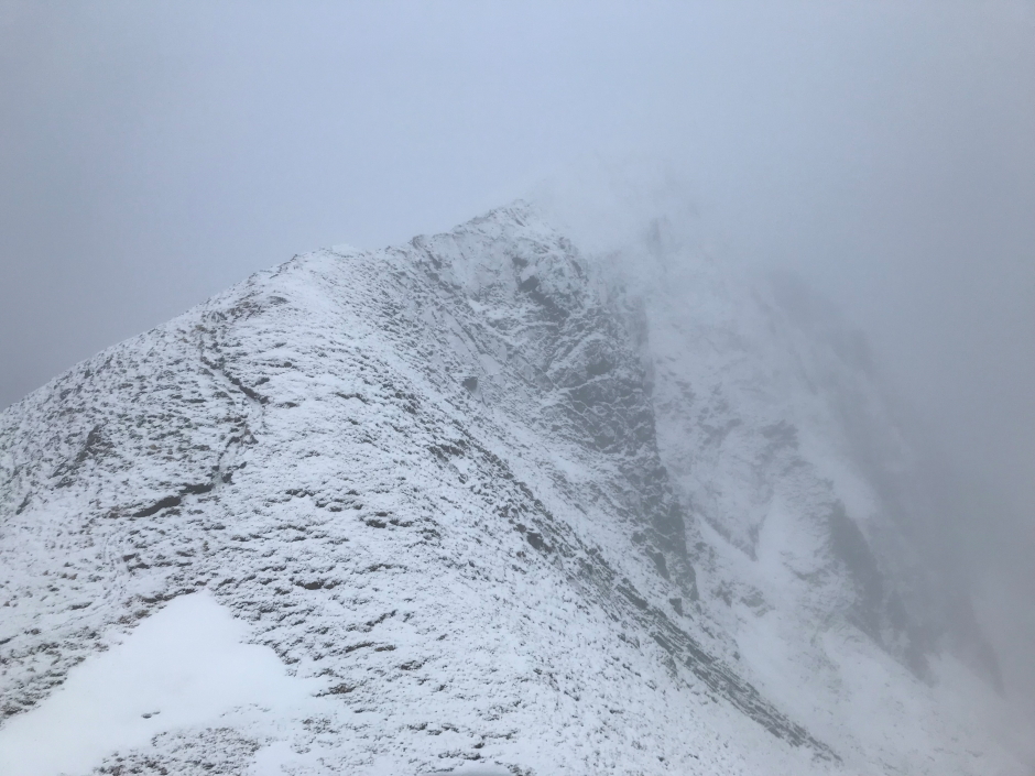
On reaching the 929m top the ridge beyond looked "interesting". We continued on fully prepared to turn back if we felt we needed to. However, as is often the case, the ridge was not as difficult as it had looked from a distance. We simply took our time with every step using our axes to provide some extra stability on the narrow and at times exposed ridge.
Ascent towards the summit of Ciste Dhubh:
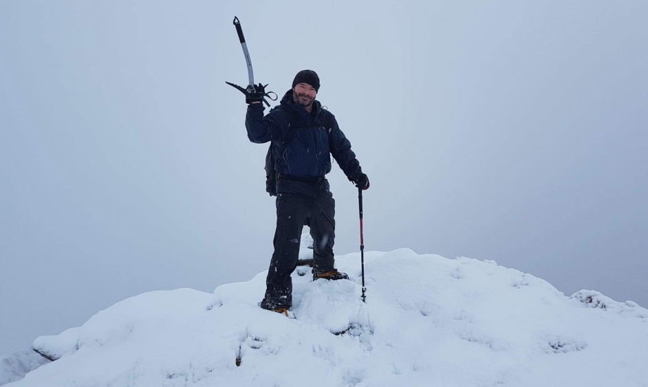
It was great to reach the summit and take some photos. As it was not particularly pleasant up there, and views were non-existent, we didn't hang around for any longer than necessary.
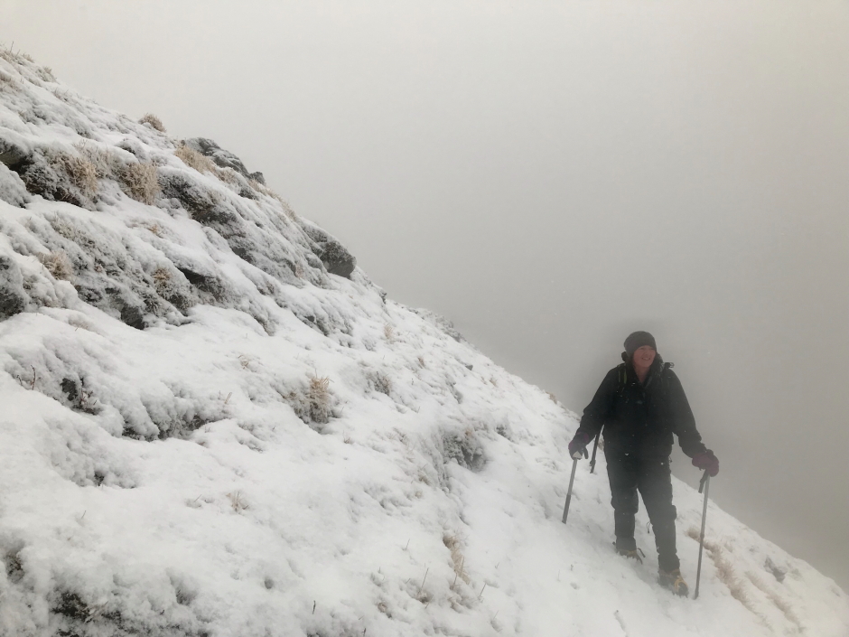
Myself at the summit of Ciste Dhubh:
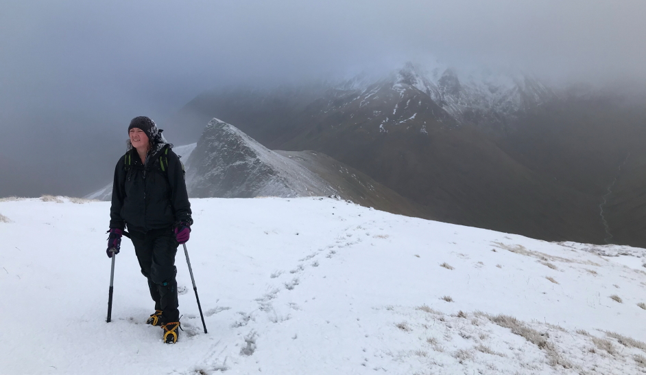
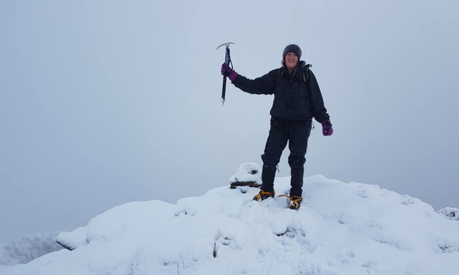
Ann-Marie at the summit of Ciste Dhubh:
Looking back down the ridge from the summit of Ciste Dhubh:
We returned via the same route, in fairly minimal visibility, again taking care with every step.
Starting the descent from the summit:
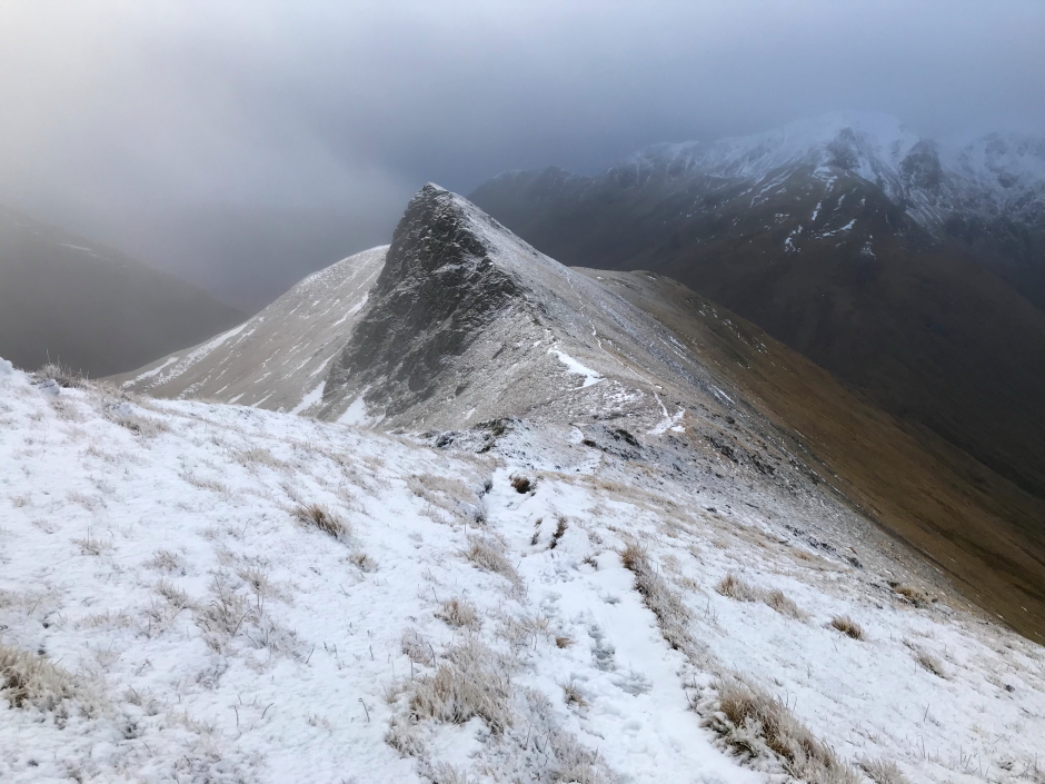
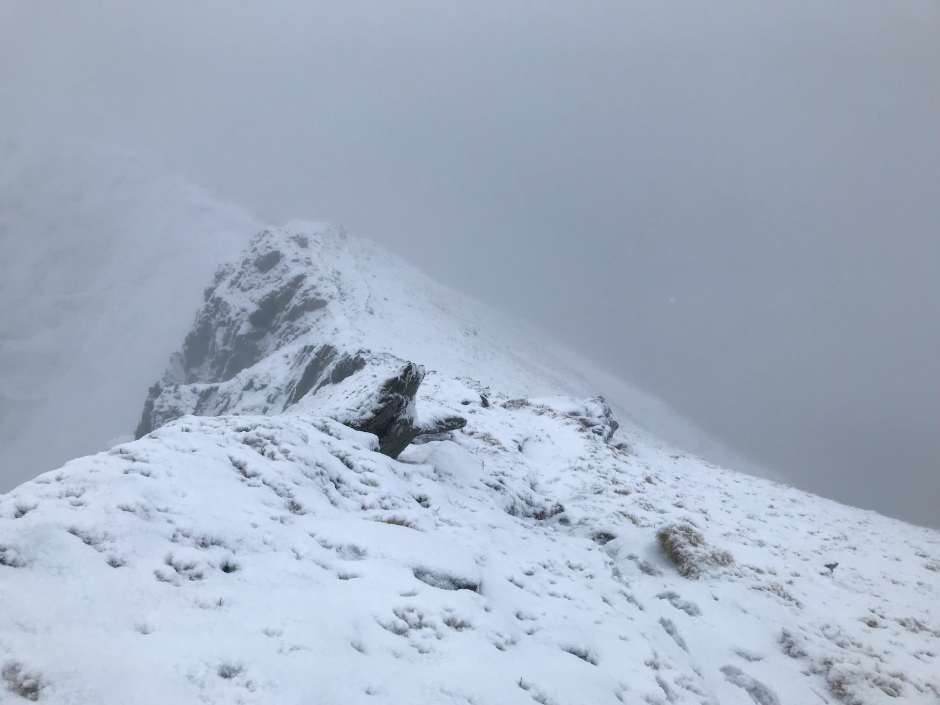
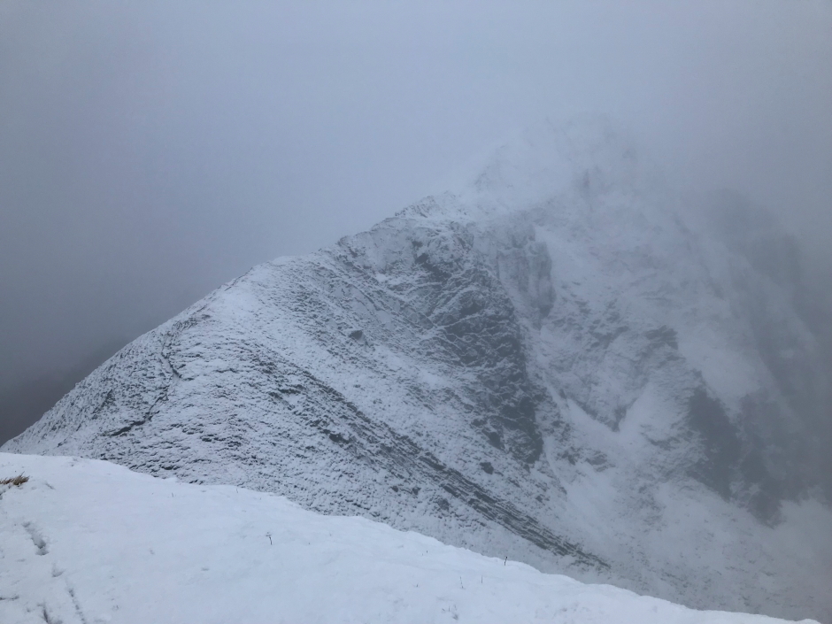
On reaching the 929m top, we stopped for around five to ten minutes hoping the clag would lift to provide a clear view back to the ridge that we had just ascended and descended. Alas, it did not. I think you can however make out that it is fairly narrow in places.
Looking back towards the narrow summit ridge:
Looking back towards the summit ridge from the 929m top:
We kept our ice axes out and crampons on until passing the short bypass. We then stopped to put them away, get out our walking poles and have a bite to eat and drink.
The walk back out to the car was again a case of squelch, squelch, squelch, ...
On reaching the car and taking off my waterproofs and boots, I was literally steaming. Time to buy some new waterproofs
This was very much a day of three halves