
Date: Saturday 28th November 2020
Company: Just myself
Distance: 24.7km, Ascent: 1395m
Time: 9Hrs
According to WalkHighlands, this walk normally takes between 9 and 12 hours. I knew it would definitely not take me 12hrs, however with only 7.5hrs daylight available at this time of year I opted for a headtorch start.
On arrival in Glenfinnan I parked at the National Trust Visitor Centre. Parking at the visitor centre normally costs £3.50 for the day but the parking machine is not currently operational.
Click here to see a map of the route undertaken
From the visitor centre, after walking a short distance along the road to reach the west side of the River Finnan, I followed the private road leading towards and beyond the Glenfinnan Viaduct. On reaching the viaduct, alas it was still too dark to take photos.
As I made my way towards the bothy I was passed by a cyclist who would also be undertaking the same circuit of hills but in an anti-clockwise direction. We shouted good mornings to each other as the cyclist whizzed past; we would meet again later on the ridge.
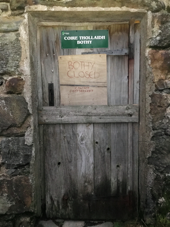
In normal circumstances, I would have visited the bothy however all MBA bothies are currently closed. I am not sure I agree with the decision to close bothies. I totally understand why bothies have been closed i.e. to prevent people from numerous households potentially meeting and not being able to social-distance, however mountain bothies are also used as emergency shelters i.e. for unplanned, non-routine use. Total bummer if you have an accident on the hill, end up benighted, are able to make your way to a nearby bothy but find it closed and boarded-up because some people apparently can't be trusted to be sensible.
Coire Thollaidh (Corryhully) Bothy:

Bothy closed
Beyond the bothy I continued along the track until reaching a small sign waymarking the start of the path ascending Sgurr nan Coireachan. I followed the path which at first skirts the ridge before leading onto the ridge.
Looking back along Glen Finnan:
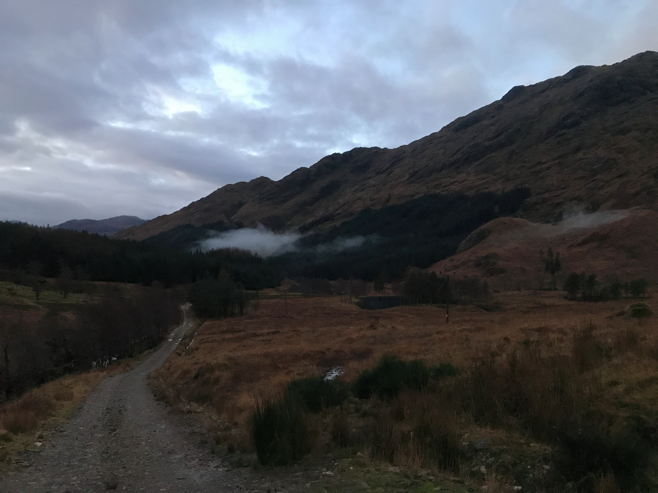
The Landranger map shows a path for the initial ascent only. I found and followed a path from base to summit.
Onto the SE ridge of Sgurr nan Coireachan:
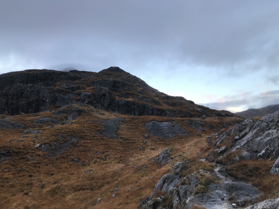
During the ascent it was disappointing to see so much cloud. MWIS had advised of 90% cloud-free Munros in the North-West and West Highlands but I must have selected a walk in the10% of Munros which were not cloud-free
Glen Finnan:
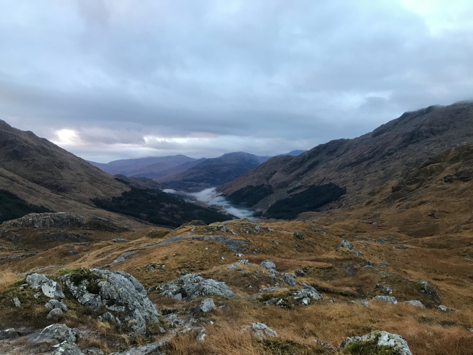
As I made my way up Sgurr nan Coireachan, I could see the cyclist making his way up Sgurr Thuilm.
Looking across to Sgurr Thuilm and Streap:

Ascending Sgurr nan Coireachan:
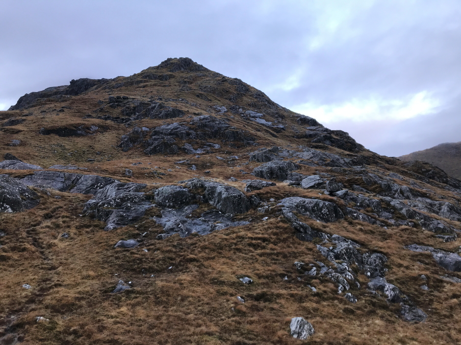
Glen Finnan:
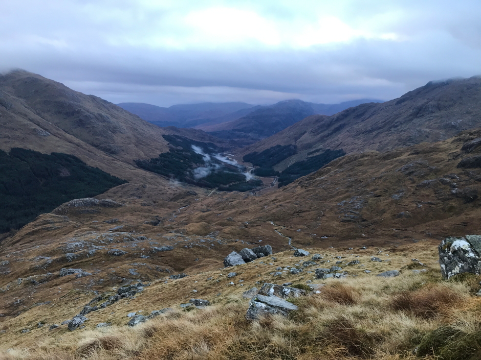
The ascent became steeper and rockier as I progressed up the hill. I had to take care on several small scrambling sections as the rock was very wet and slippery.
Steep ascent:
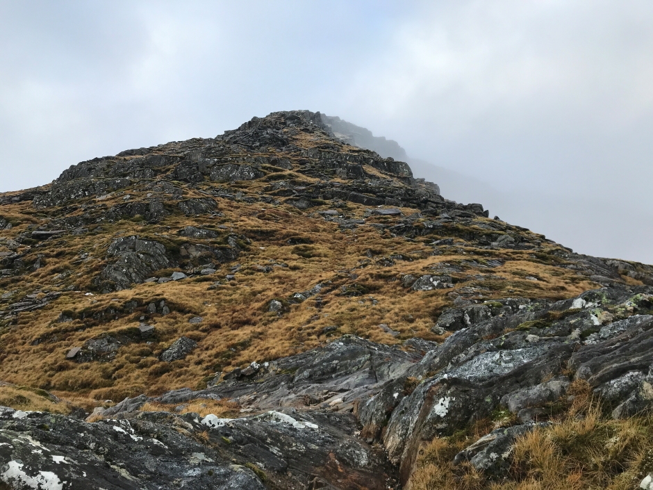
It was with some relief that I eventually reached the summit of Sgurr nan Coireachan. It had taken me longer than anticipated to reach the summit so I decided to step up a gear for the undulating ridge between the two Munros.
Cloud inversion below the summit of Sgurr nan Coireachan:
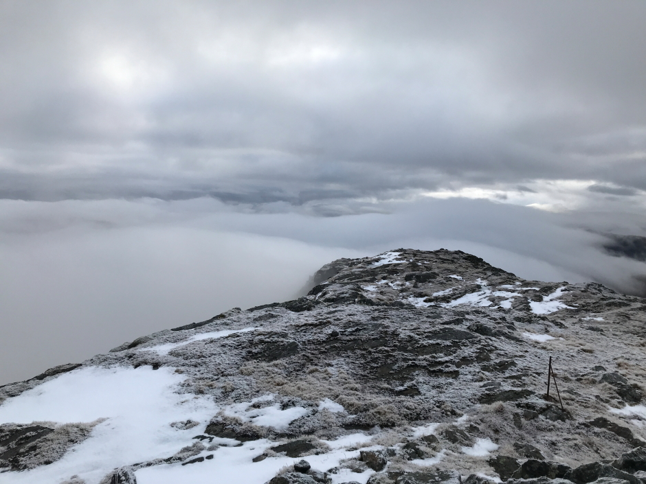
At the summit of Sgurr nan Coireachan:
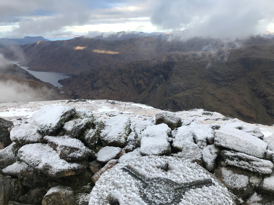
During the descent of Sgurr nan Coireachan there was one short down-scramble beyond which there was no more hands-on for the remainder of the walk.
Looking back at rocky section on ridge:

On reaching the 826m top of Meall an Tarmachain I again met the cyclist who must have been moving much faster than myself. This gave me some comfort that the terrain ahead was likely easier than what I had thus far negotiated.
Fleeting glimpses through the cloud:

The ridge between Sgurr nan Coireachan and Sgurr Thuilm involves several ascents and descents. As I made my way along the ridge I met a group of three walkers who were also undertaking an anti-clockwise circuit.
On the section of ridge between Beinn Garbh and the 858m top at last the cloud began to break up providing my first views of surrounding hills.
Views to the north starting to open up:
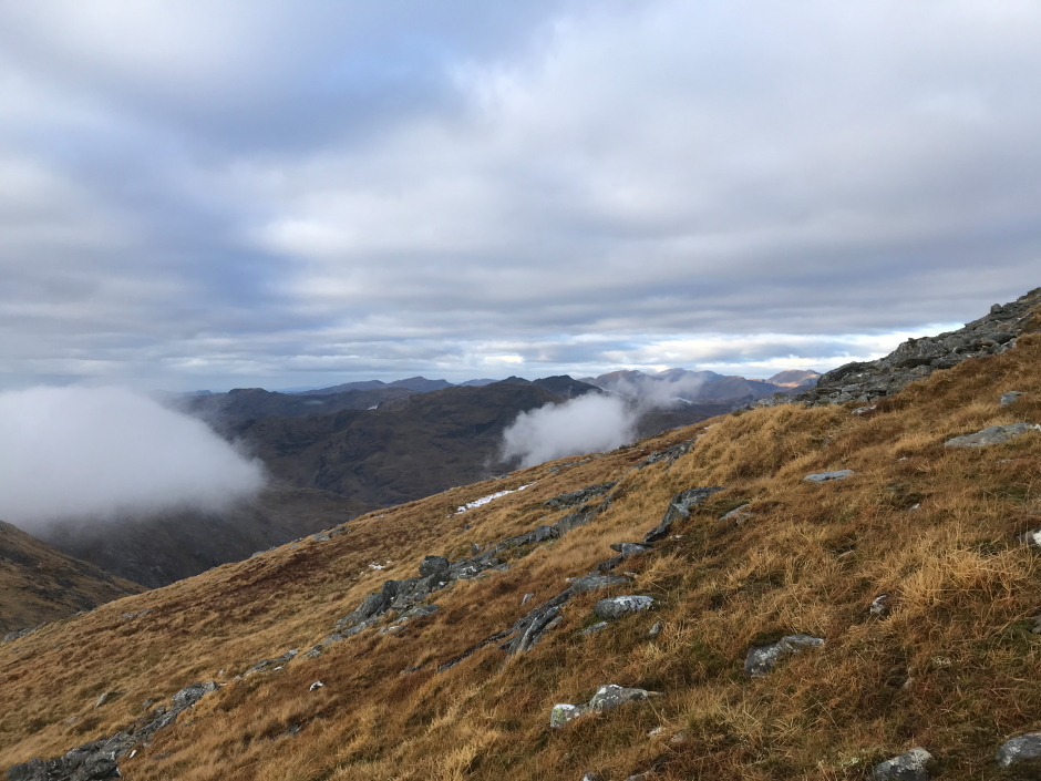
Above the clouds:

Having been walking for circa 5.5hrs solid, I decided to stop for a five minute break to take photos and have some food and water.
Panorama south towards the hills of Ardgour:
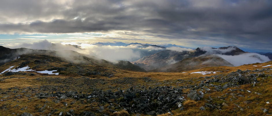
Looking south:

During the final ascent of Sgurr Thuilm I was passed quickly by two lasses who were running up and down the hill. Thanks for making me feel really old
Loch Arkaig:
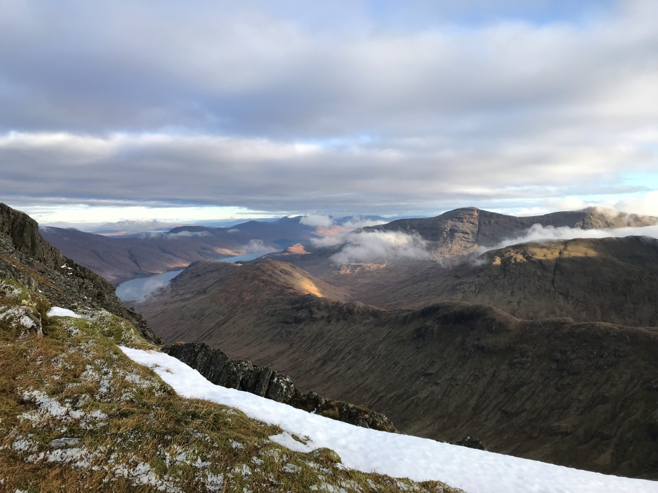
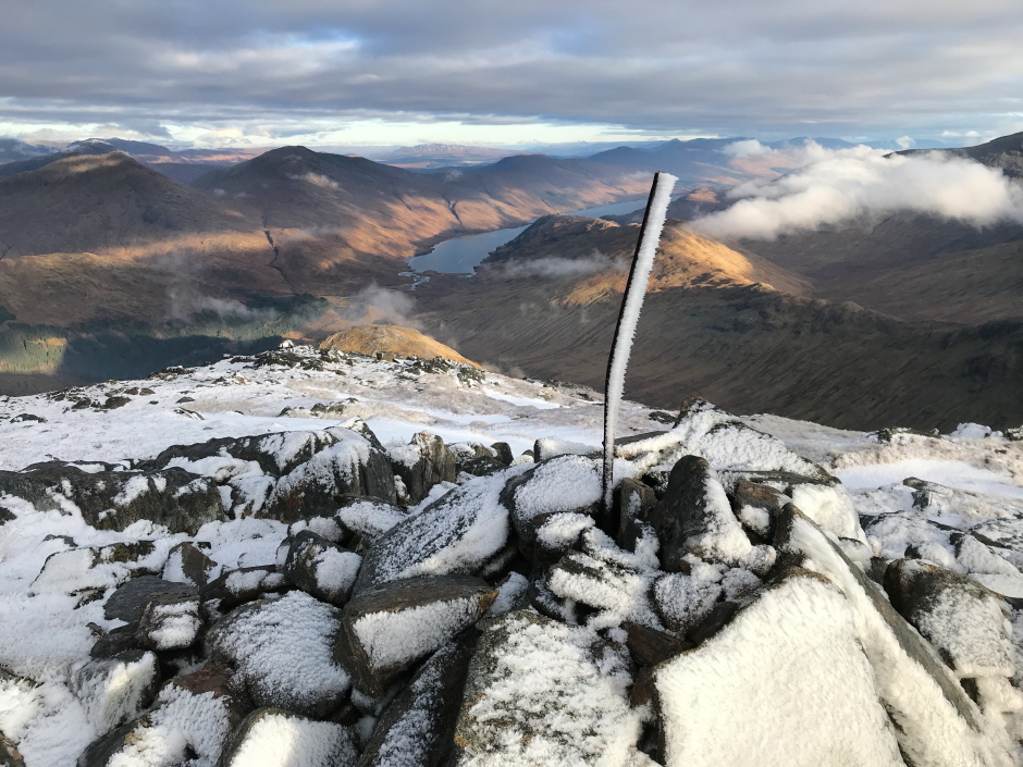
Fantastic to get great views from the summit having been walking in cloud for much of the walk.
At the summit of Sgurr Thuilm:
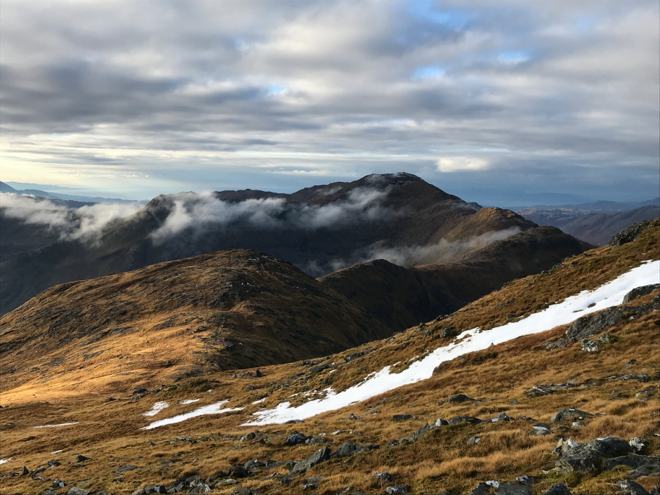
Looking back along the undulating ridge to Sgurr nan Coireachan:
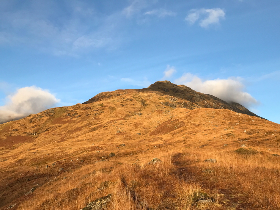
The descent of Sgurr Thuilm was very straightforward down steep grassy slopes. I followed the path for much of the descent which is seriously wet underfoot especially in the lower slopes.
Looking back to Sgurr Thuilm:
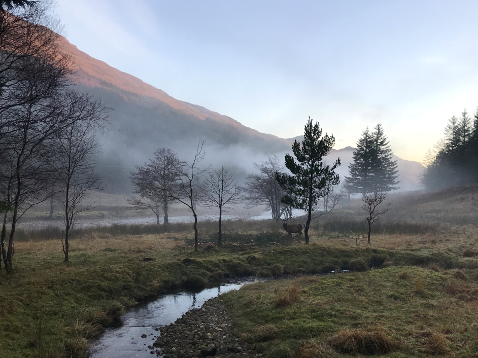
I was soon back onto the Glen Finnan track which I followed back out past the bothy and viaduct.
A lone stag in the mist:
Passing under the Glenfinnan Viaduct:

I reached the car 9hrs after setting off but will admit this was walking pretty-much without stopping and not hanging around.
Post-sunset Loch Shiel:
