
Date: Thursday 20th May 2021
Company: Just myself
Distance: 10.3km, Ascent: 410m
Time: 2Hrs 55Mins
From 5am to 10am this morning the weather forecast was quite good. Thereafter, the forecast was for twenty-four hours of heavy rain. I therefore set off early commencing my walk at 5am in order to avoid the deluge.
I took advantage of an offer to be dropped-off at one location and picked-up at another allowing for a traverse of Fellbarrow and Low Fell
Click here to see a map of the route undertaken
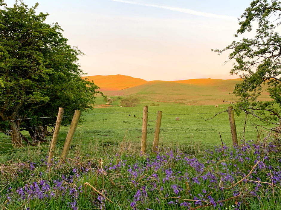
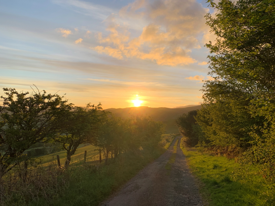
It was nice to set off walking early as the wildlife was plentiful at this time of morning. Alas, I had decided not to carry my DSLR with large lens today, so no wildlife pics. The dawn light and early morning sunrise made getting-up so early worthwhile.
Dawn light on Fellbarrow:
Sunrise:
I followed the track as marked on my map up towards Whin Fell. The track continued well beyond what was marked on the map, so I continued to follow it while it was heading in generally the correct direction.
Grasmoor fells:
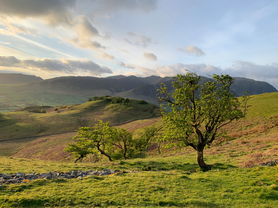
View during ascent of Fellbarrow:
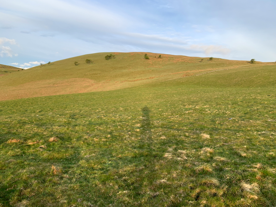
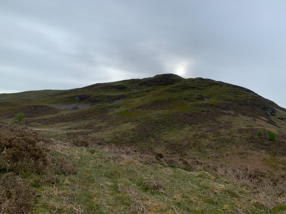
When the track stopped taking me where I wanted to go, I left the track making my way to the col between Hatteringhill Head and Fellbarrow. The early morning sun was casting long shadows.
Fellbarrow:
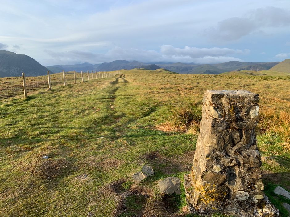
After crossing a couple of fences with stiles I arrived at the Fellbarrow trig point. I also visited the summit high point a short distance from the trig point.
At the trig point near the summit of Fellbarrow:
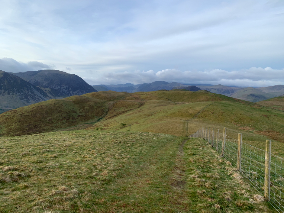
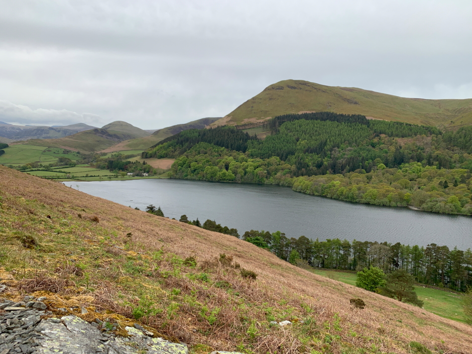
From the summit of Fellbarrow, I next made my way across to Smithy Fell and then Sourfoot Fell.
Low Fell beyond Sourfoot Fell:
Descent from Fellbarrow:
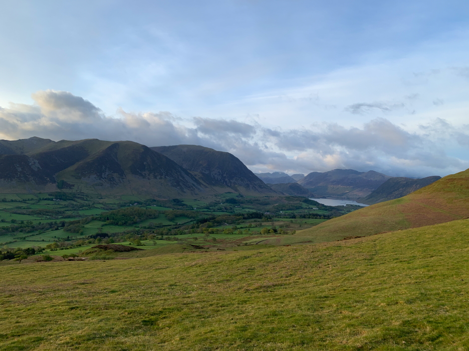
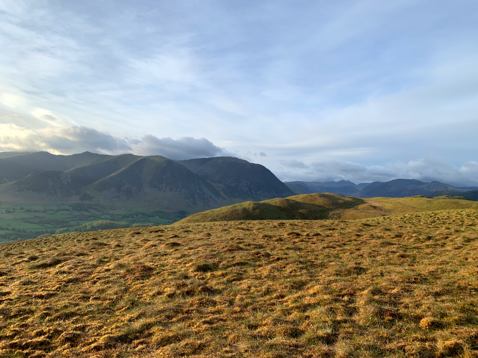
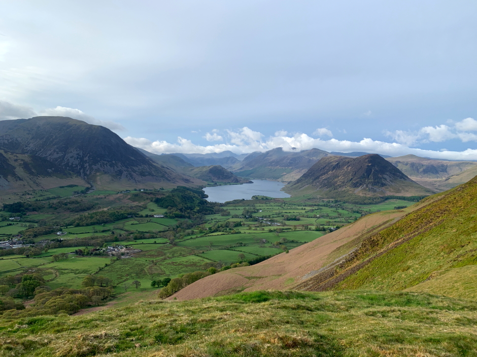
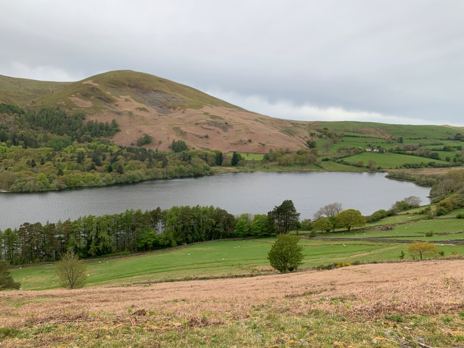
As I approached the final ascent of Low Fell, I was provided with lovely views across to Grasmoor and Mellbreak and down to Crummock Water.
Lovely view towards Grasmoor, Crummock Water and Mellbreak:
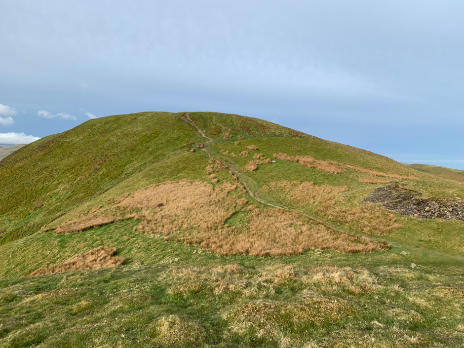
Final ascent of Low Fell:
As well as visiting the summit of Low Fell, I also visited its other top as well as a viewpoint cairn.
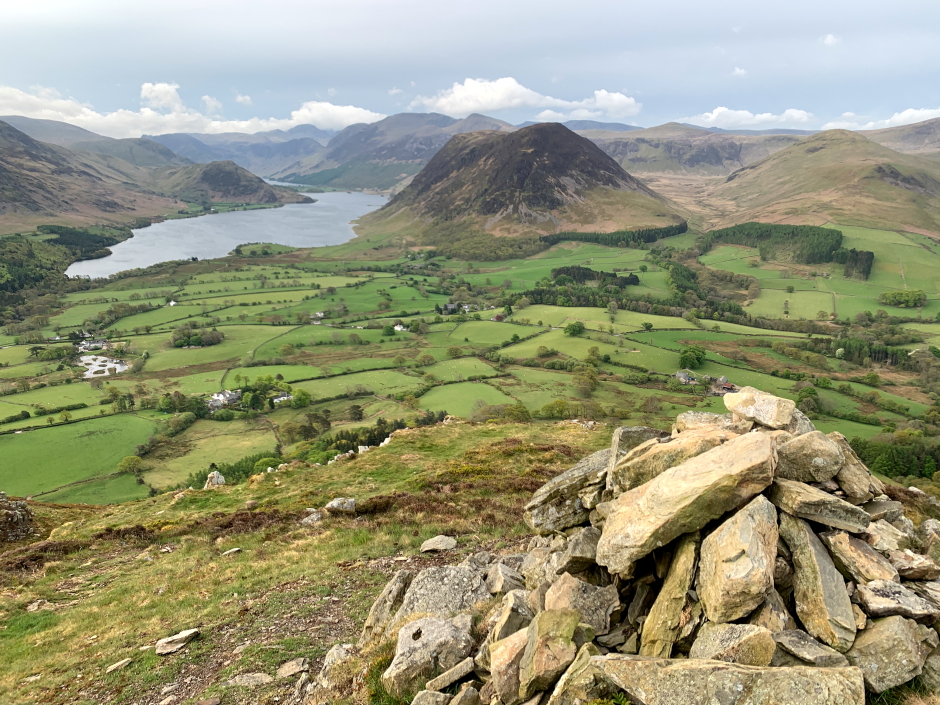
View from the summit of Low Fell:
Loweswater from summit of Low Fell:

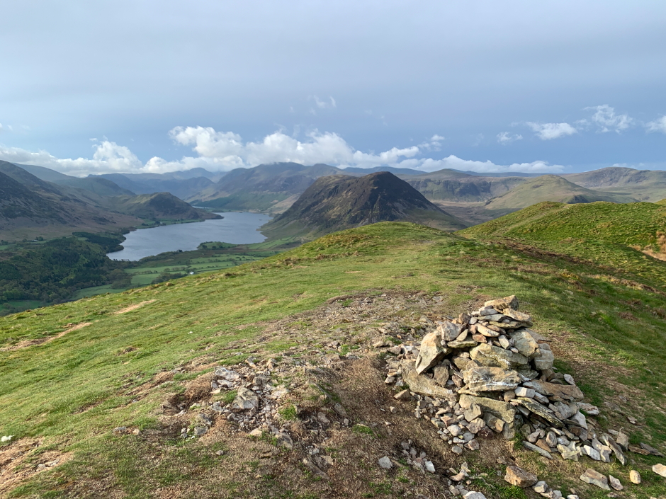
View from viewpoint cairn:
I next descended to the col between Low Fell and Darling Fell where I picked-up a track heading downhill.
Looking back to Low Fell during descent:
I followed the track, which was not marked on the map, down to the road. During the descent I got nice views of Loweswater.
Loweswater:
Loweswater:
A nice traverse of these fells.