
This morning we set out to ascend one of my five remaining Donald Tops located a short distance from Moffat. On arrival at the starting point, the wind strength of Storm Arwen was still severe to the point that undertaking an ascent would have been foolhardy. I therefore had to quickly come up with an alternative plan thus I had a quick look at the map in search of some nearby low Marilyns.
The lowest I could find nearby was Killyleoch Hill. Killyleoch Hill was only promoted to Marilyn status in 2013. From a quick review of comments posted on the Hillbagging website, I could see that the ascent was going to be interesting given there would be four dry stane dykes to clamber over.
For our ascent of Killyleoch Hill we parked at and set off walking from Newtonairds.
Hill: Killyleoch Hill
Date: Saturday 27th November 2021
Company: Myself and Ann-Marie
Distance: 5.4km, Ascent: 200m
Time: 1Hrs 40Mins
Route:
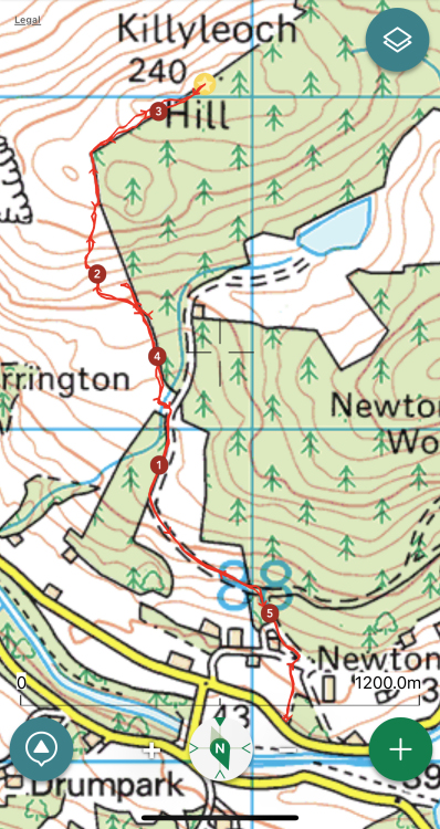
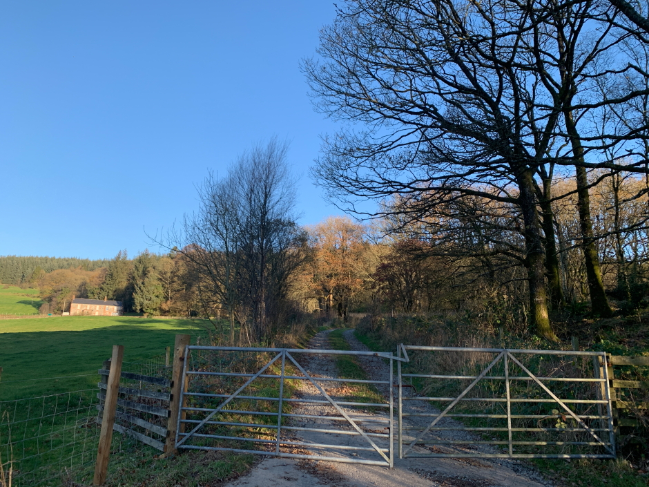
The initial ascent beyond the gate in the next photo was pleasant. We followed the track as far as NX877811 before turning left through a gate to enter the field in the second pic.
Start of track at Newtonairds:
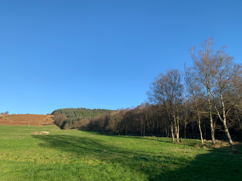
On reaching the top of the field we had to look for a way over the barbed wire fence and dyke immediately beyond. Towards the top left of the field there was a section of collapsed fence which we stepped over before climbing the first dyke.
Ascent through field:
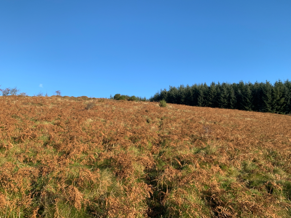
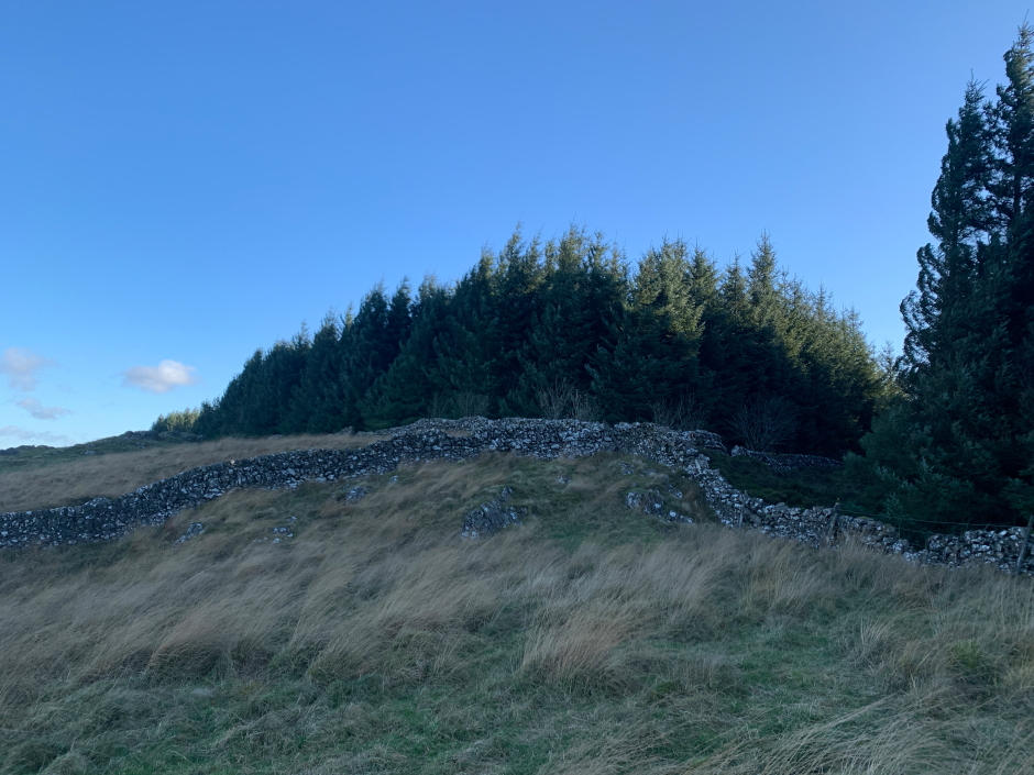
Beyond the dyke we had to negotiate an area of bracken. Beyond the bracken, and several small hawthorn trees, we next made our way across to a collapsed section of dyke at the edge of the forest.
Through the bracken beyond the first dyke:
Beyond the bracken:

We then followed the edge of the forest to another dyke which was easy to climb over at its corner. From there we followed the top edge of the forest initially towards a grassy knoll and beyond to a junction of dykes which included our fourth and final dyke crossing of the ascent.
Ascent of wee knoll en-route to the summit:
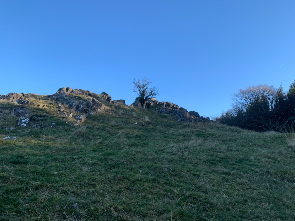
Approaching the summit area:
On reaching the summit we stopped to take a summit pic and then returned to the start of the walk via exactly the same route again crossing the four dykes during the return.
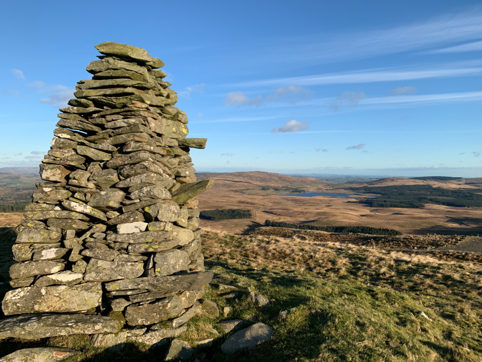
At the summit of Killyleoch Hill:
The ascent of Killyleoch looks much simpler from the north however I believe the landowner is a GOML (Get Off My Land) who needs a good talking to as far as the Scottish Outdoor Access Code is concerned.
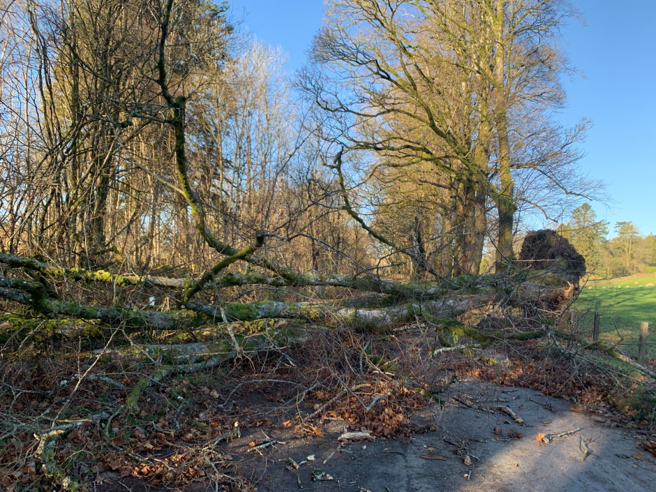
On reaching the car I looked at the map to locate another nearby Marilyn. Getting to its starting point involved taking detours owing to trees completely blocking roads.
One of numerous fallen trees encountered:
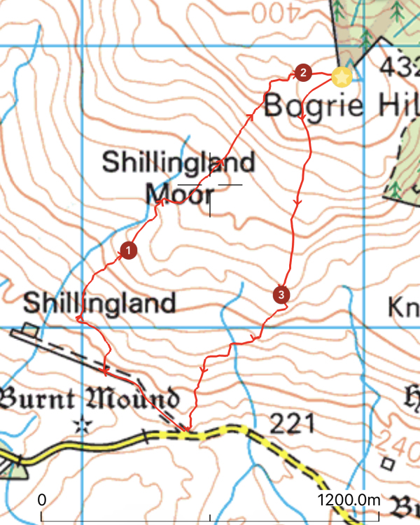
Hill: Bogrie Hill
Date: Saturday 27th November 2021
Company: Myself and Ann-Marie
Distance: 3.75km, Ascent: 200m
Time: 1Hrs 10Mins
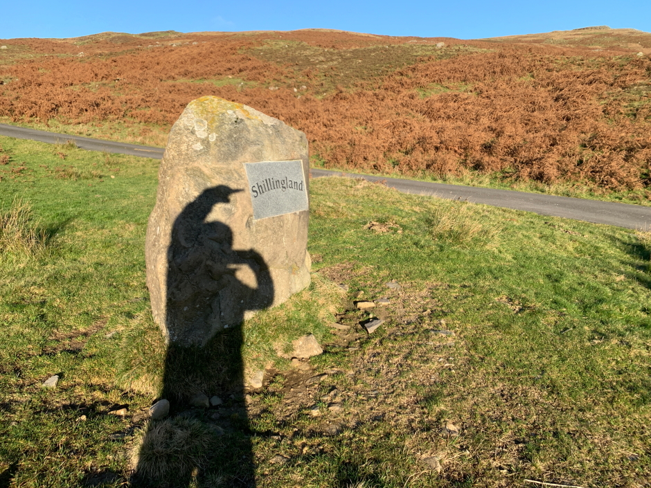
For our ascent of Bogrie Hill, which was much more straight-forward than our ascent of Killyleoch Hill, we parked and set off walking from Shillingland.
Route:
Pointing out the start of walk:
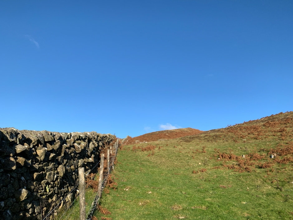
After walking a short distance along a track, on reaching a cattle grid and dyke we followed the dyke a short distance up the hill.
Initial ascent alongside a dyke:
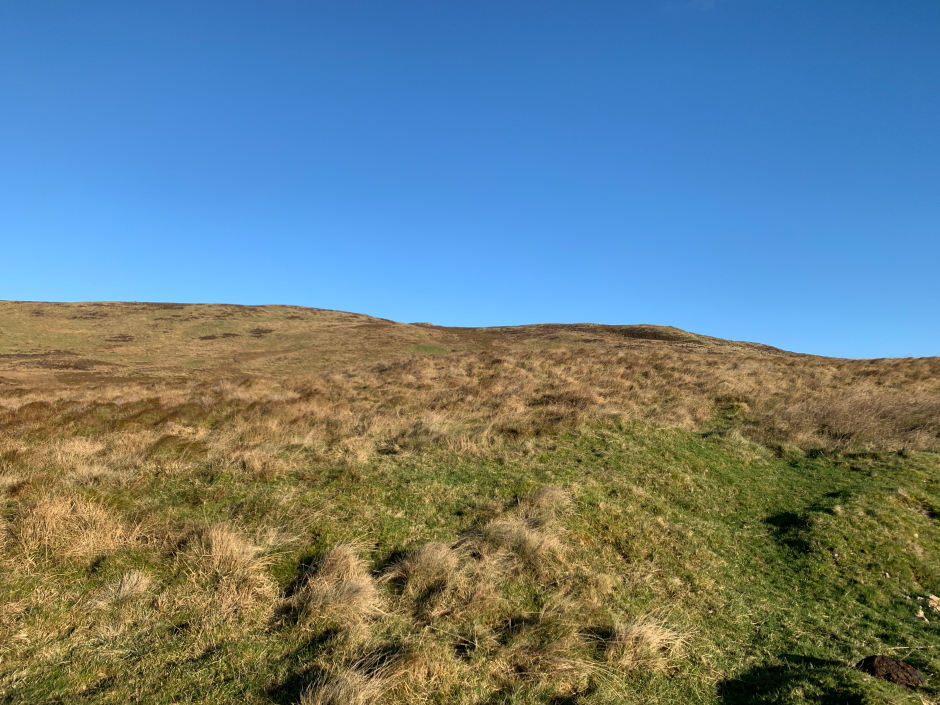
Thereafter it was just a case of keep heading up until there was no more up.
Ascending Bogrie Hill:
On reaching the wide summit ridge we followed an ATV track towards the summit.
Final stretch towards the trig point:

On reaching the summit area I visited the trig point and then crossed the barbed wire fence to visit the actual summit which is within three metres of the trig point. The summit high point is possibly an inch or two higher than the trig point
At the Bogrie Hill trig point:
After taking a summit pic we followed a track leading downhill which made for an easy descent. However we decided to abandon the track about half way down the hill when we saw it was leading directy towards numerous cattle. We therefore again went trackless back to the car.
On reaching the car we were in two minds as to whether or not to ascent a third nearby Marilyn. I managed to persuade Ann-Marie that we could easily squeeze another in before sunset and it would be good to get in some extra miles
We therefore made our way to the start of Fell Hill.
Hill: Fell Hill
Date: Saturday 27th November 2021
Company: Myself and Ann-Marie
Distance: 6.4km, Ascent: 210m
Time: 1Hrs 43Mins
Route:
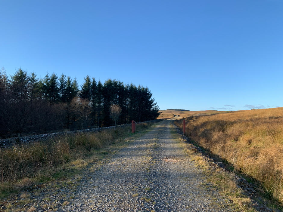
For our ascent of Fell Hill we followed an excellent track for just over 1.5km before going through a gate and continuing along a grass track with lots of high tussocks alongside a forest with numerous toppled trees.
Excellent track leading towards Fell Hill:
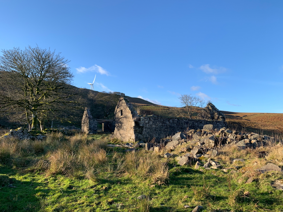
Beyond the grassy track we reached the ruins at Fell.
Fell:
Beyond Fell again it was just a case of keep heading up until there was no more up.
Looking back during ascent:

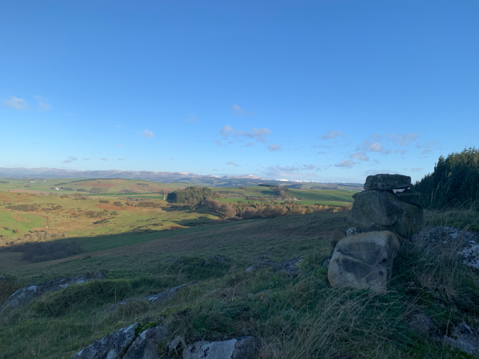
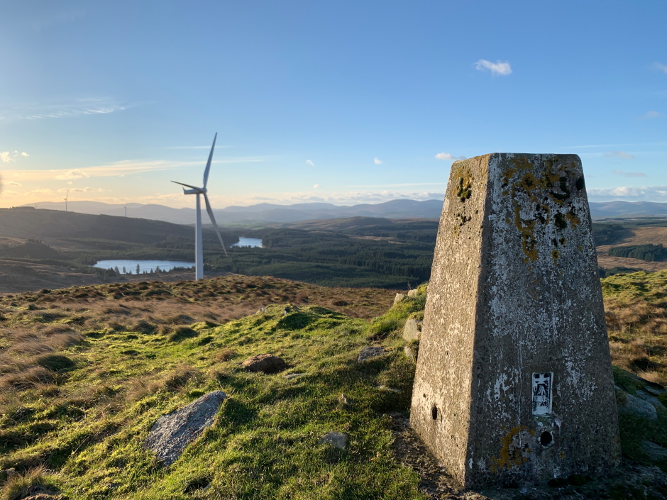
Fell Hill is now home to one of numerous windfarms located in the Southern Uplands. My Viewranger maps purchased circa five years ago did not show a windfarm so I suspect it is fairly new.
On reaching the summit area we visited the large cairn and the trig point before returning downhill via approximately the same route.
Large cairn atop summit of Fell Hill:
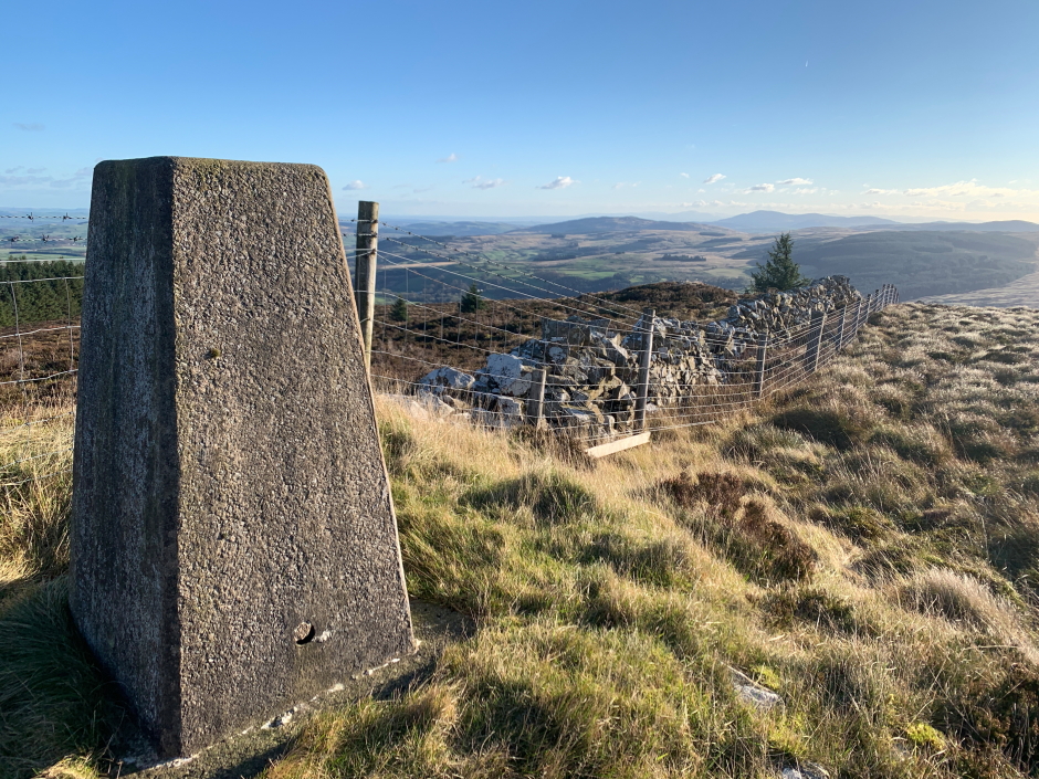
Trig point near the summit of Fell Hill:
On reaching the grassy track we followed it back to the car.
Definitely not the best hills in Scotland but good to get out onto the hill despite the really strong winds. I should add that it was baltic with a windchill of around -15C.