
Date: Tuesday 28th December 2021
Company: Just myself
Distance: 11km, Ascent: 675m
Time: 3Hrs 45Mins
On checking various forecasts this morning, I strongly suspected I would be walking in cloud. MWIS suggested 10% cloud-free tops, the MetOffice cloud cover forecast suggest blanket cloud covering the entire Lake District, and the MetOffice weather forecast suggested cloud but with some potential sunshine in the Southern Lakes. I therefore decided to head to the Southern Lakes.
En-route to the hills, I considered an ascent of either Yewbarrow from Wasdale, Green Crag from Eskdale or Pike of Blisco from the Wrynose Pass. Having driven Hard Knott pass and Wrynose Pass many times previously, I decided to do so once again for an ascent of Pike of Blisco.
My wee VW Polo struggled somewhat with the ascent of Hard Knott Pass compared to my previous land rovers and my campervan. On this occasion rainwater was running down the road and on reaching the steepest section I lost traction with my wheels just spinning. I knew I couldn't move up from 1st to 2nd gear as the car just did not have the power to ascend in 2nd. I therefore quickly took the foot right off the accelerator hoping that going at lower revs/speed would work. Thankfully it did. As if Hard Knott Pass is not dangerous enough, it currently has numerous potholes which also need to be avoided. Definitely a brown-trousers drive.
Beyond Hard Knott pass I drove to the top of Wrynose Pass parking at the top. I then set off to ascend Pike of Blisco.

The weather at the outset was pretty-good considering the forecasts.
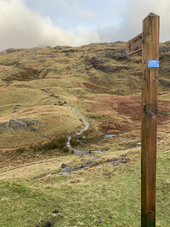
Cold Pike sign at the top of the Wrynose Pass:
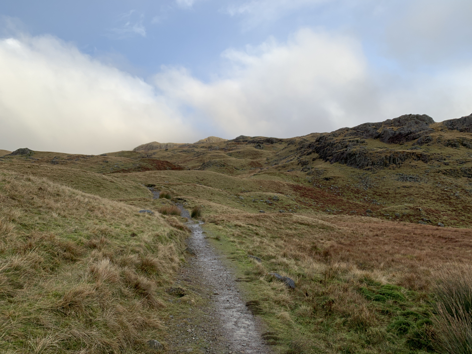
I followed the excellent quality path which is used for ascents of both Pike of Blisco and Crinkle Crags.
Ascent towards Cold Pike / Pike of Blisco:
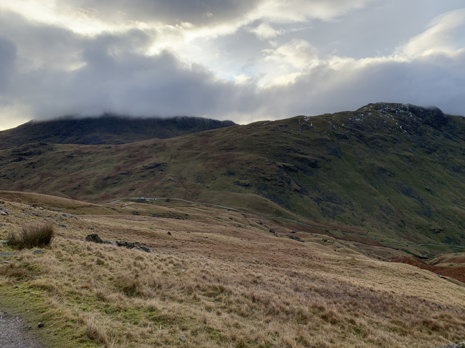
Nice view towards Harter Fell and the Hard Knott Pass:

Looking back towards the top of the Wrynose Pass with the Wetherlam range beyond:
During the walk-in I decided Pike of Blisco on its own would be too short a day. I therefore changed my plan deciding instead to head for Cold Pike and Cringle Crags. All going well I might also continue on to Bowfell.
Long Scar:

Alas, a short distance beyond the col I entered thick cloud with resulting minimal visibility.
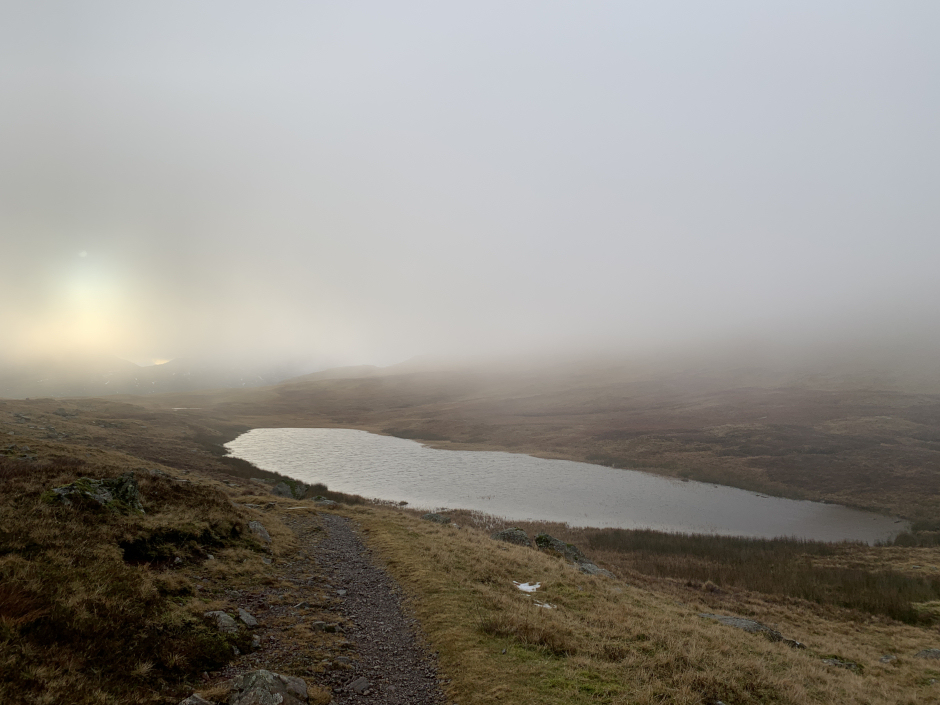
Red Tarn below the cloud:
"View" towards Langdale:

During the ascent of Crinkle Crags, I realised I had done something really stupid. The night previous I had taken my headtorch out of my rucksack and had forgotten to put it back in. I was therefore concerned with regards to available daylight to reach Bowfell. I had started walking much later in the morning than normal, the low-cloud was necessitating frequent views of the map, I had not been up here previously and had not researched the route. If I had my headtorch, time would not have mattered as I don't mind walking and navigating in the dark.
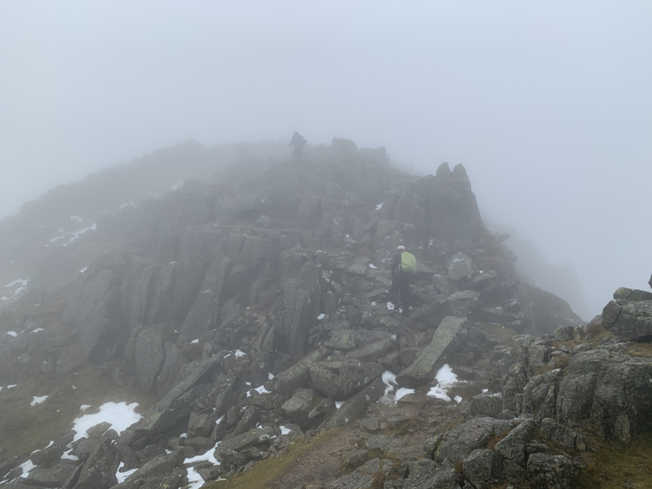
Ascending Crinkle Crags:

Heading towards the 834m top:

Ascending the 834m top:
On the track skirting round Long Top:
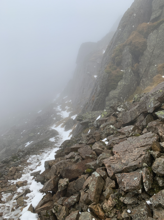
After several sections of easy scrambling, and taking a path which skirts round below the summit, I reached the twin cairns atop Crinkle Crags.
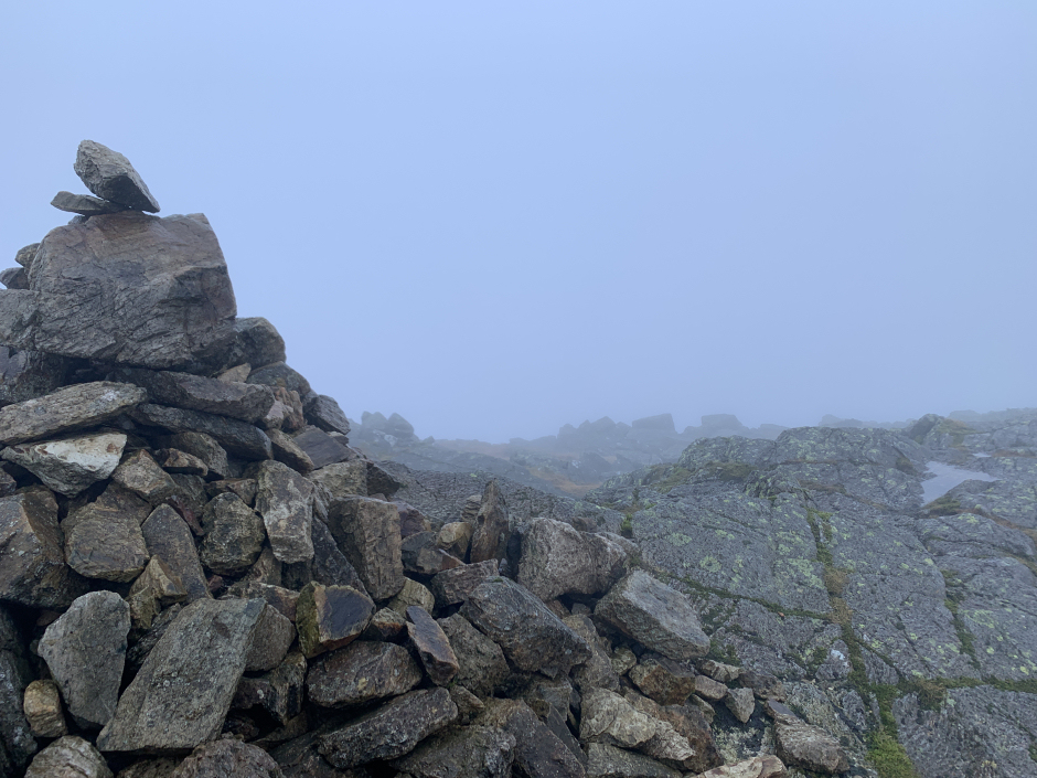
At the summit of Crinkle Crags:

At the second cairn atop Crinkle Crags:
I got a bit disorientated in the mist so took a bearing before continuing on. After walking a couple of hundred metres beyond the summit, I decided to abandon heading out to Bowfell. It could wait for another day. It was more important to get down while it was still light.
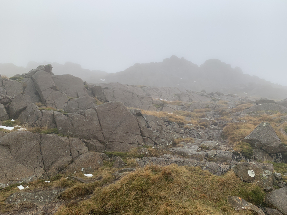
During the descent I quickly visited the summit of Cold Pike.
Ascending Cold Pike:
At the summit of Cold Pike:

From the summit of Cold Pike, I returned to the track leading back to the starting point retracing my in-bound route back out to the car.
Valuable lesson learned - don't forget my headtorch.