
Date: Friday 4th March 2022
Company: Myself and Ann-Marie
Distance: 17.9km, Ascent: 845m
Time: 6Hrs 10Mins
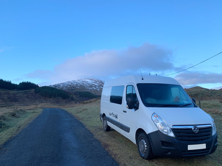
On Thursday evening, I picked-up Ann-Marie en-route to driving to the head of Glen Lyon where we arrived at approximately 1.30am. In the morning, we were suited and booted and ready to set off by 8am.
While Beinn Heasgarnich is most often ascended from Glen Lochay, I opted for an ascent from Glen Lyon. An ascent from Glen Lyon avoids all the bog and peat hags.
Route:
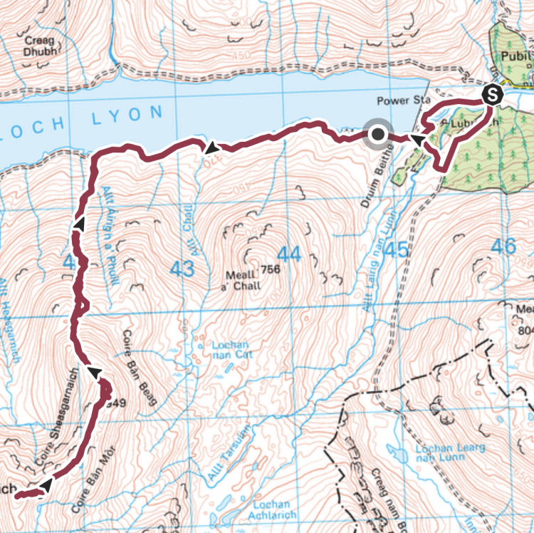
Starting point:
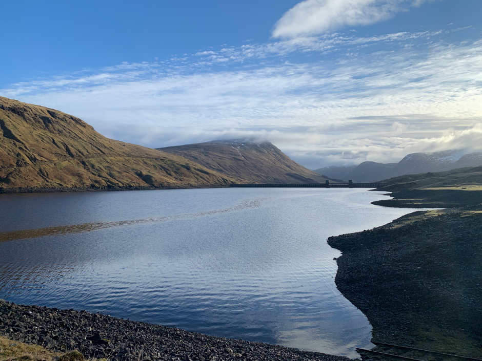
From the van we made our way towards the dam with a view to then walking the track running alongside the south of Loch Lyon. We had previously walked the track to the north of Glen Lyon when we also approached and ascended Beinn Mhanach from Glen Lyon.
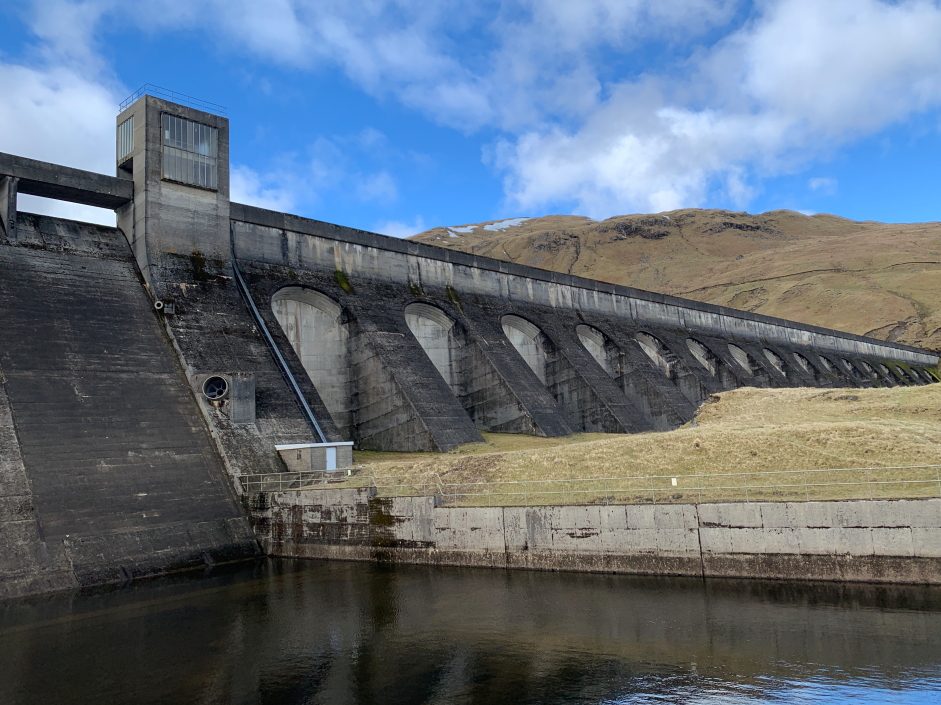
Glen Lyon dam:

We were soon making good progress along the track and enjoying wonderful blue-sky views.
Looking back towards the dam:

Loch Lyon:
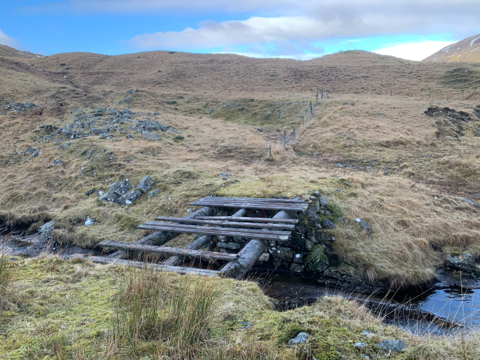
On reaching one of the allts running down to Loch Lyon we opted to cross via stepping stones instead of using the bridge.
Unsafe bridge:
On reaching a large cairn just above the track, we began our trackless ascent up the grassy slopes.
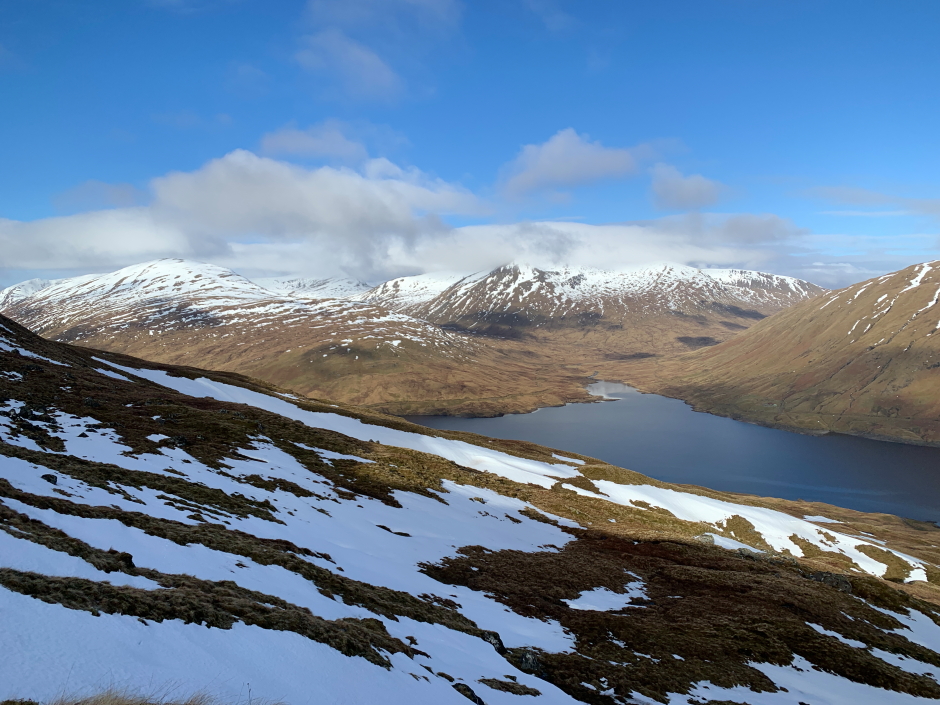
View along Loch Lyon towards Beinn Mhanach:

We soon arrived at and went through an open gate on the hillside.
Ascending lower slopes of Beinn Heasgarnich:

During our ascent of the lower slopes, I picked a line avoiding most of the snow.
Ascending Beinn Heasgarnich:

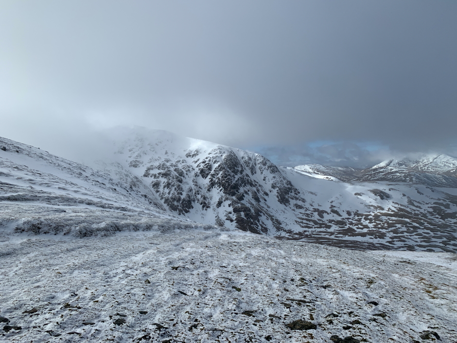
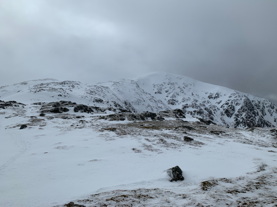
View towards Beinn Mhanach and Beinn a' Chreachain:
Above 700m, the snow was less avoidable and increasingly firm albeit not yet sufficiently firm to warrant putting on crampons.
Snow above 700m:

Giving myself a wave:
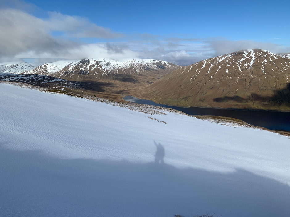
Looking back to Loch Lyon:
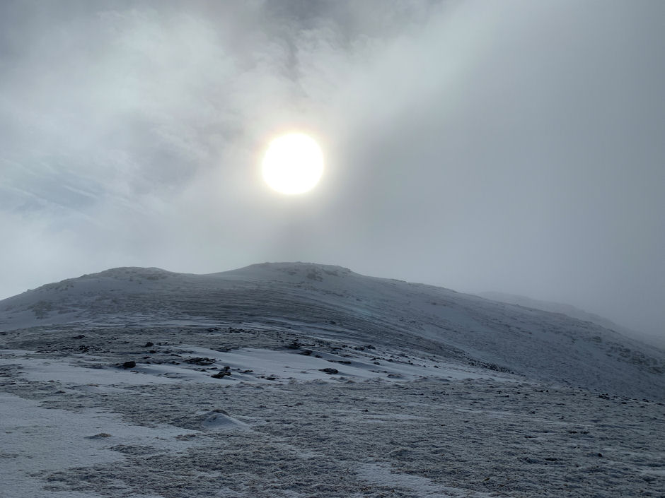
Despite a really good West Highlands forecast, I think we were a touch too far east to get the best of the weather. Our initial blue skies were now replaced with cloud which was sufficiently low to be capping the summit of Beinn Heasgarnich.
Summit of Beinn Heasgarnich capped in cloud:
The ascent from Glen Lyon up the wide ridge leading to the 949m top was pleasant and thoroughly recommended as an alternative to ascending from Glen Lochay.
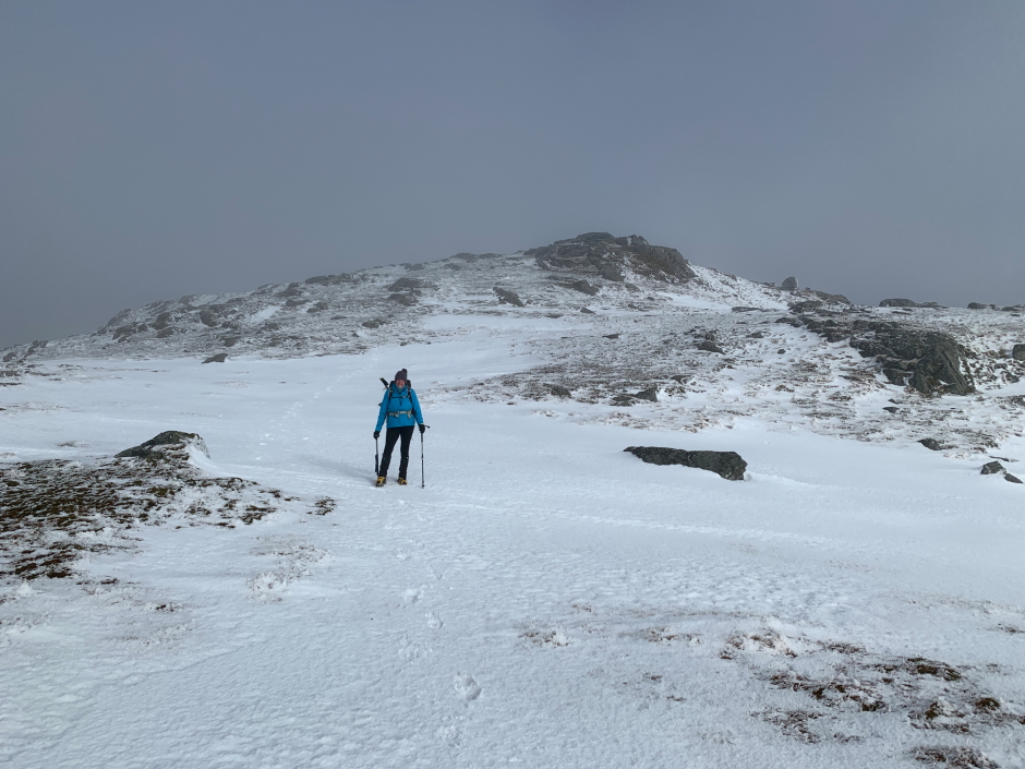
Beinn Heasgarnich's 949m top:
View from 949m top:

At the 949m top we stopped for a drink and to put on crampons and get out our axes. The snow was now fairly hard and there were a couple of reasonably steep slopes ahead. Always best to put the crampons on before you desperately need them!
Beinn Heasgarnich summit still capped in cloud:
It was fantastic to walk across nice, hard névé for the mile to the summit, and back.
Looking back towards the 949m top:
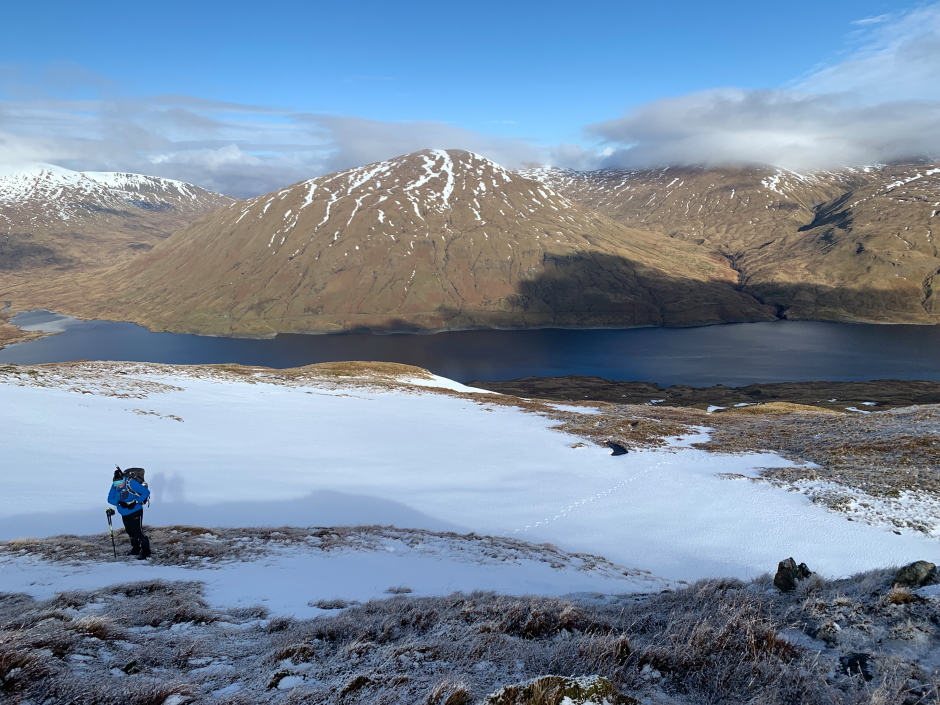
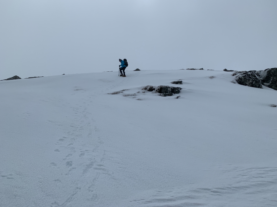
Myself:

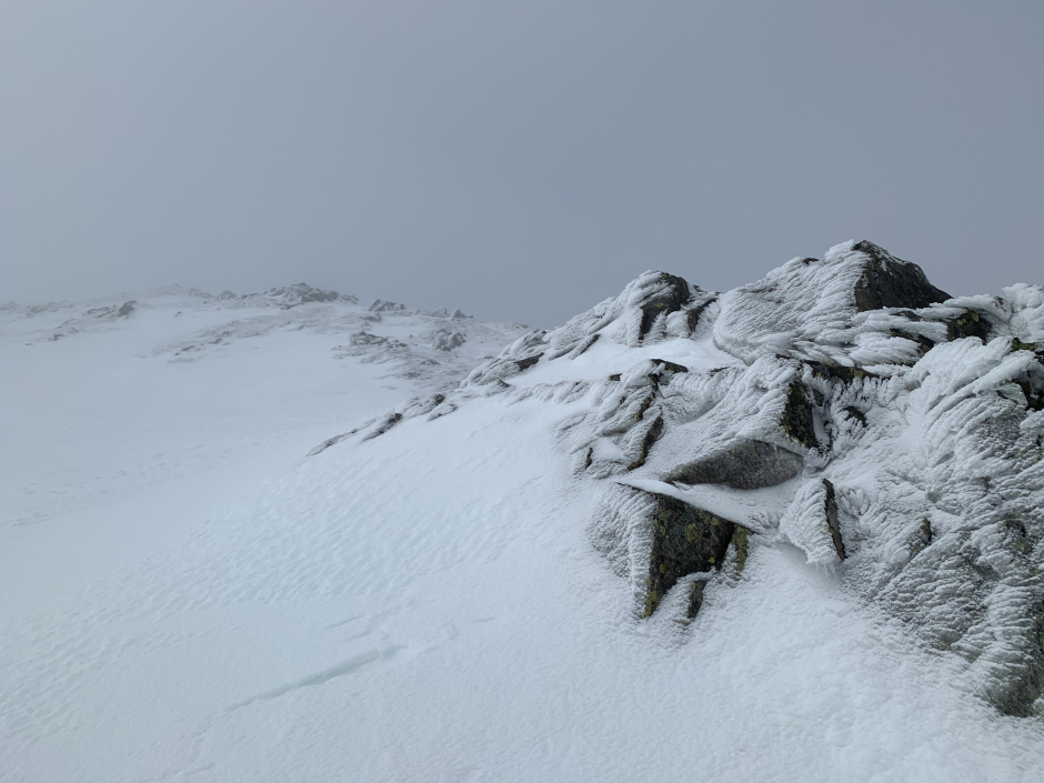
Coire Ban Mor:

Walking on nice crisp névé:

I checked the map a couple of times en-route to the summit just to ensure there was nothing tricky ahead given we were now walking in fairly poor visibility.
With Viewranger now switched-off permanantly I was forced to use OutdoorActive (fortunately I was also carrying a paper map). While Viewranger has always worked very well, I could not get OutdoorActive to work properly. I have reported a bug to OutdoorActive and they have advised they are already aware of it and are working to fix it. Well hopefully they do so soon because currently OutdoorActive is as much use as a chocolate fireguard on the hill for navigational purposes.
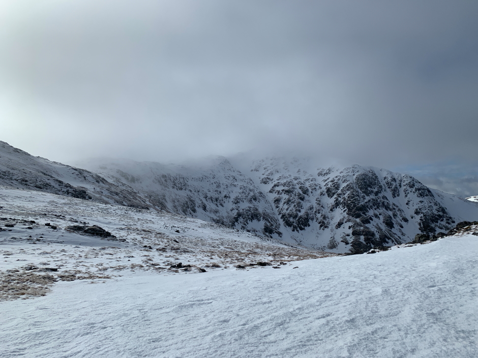
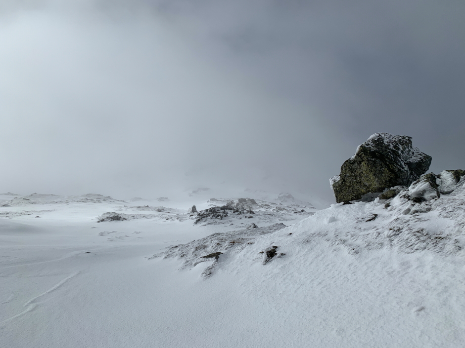
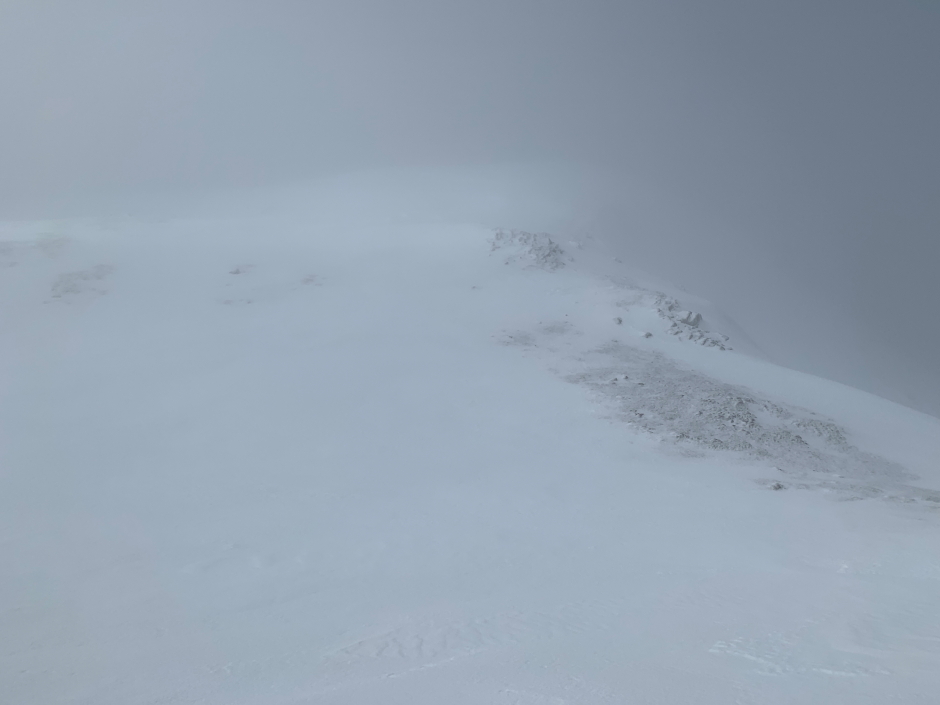
Minimal views:
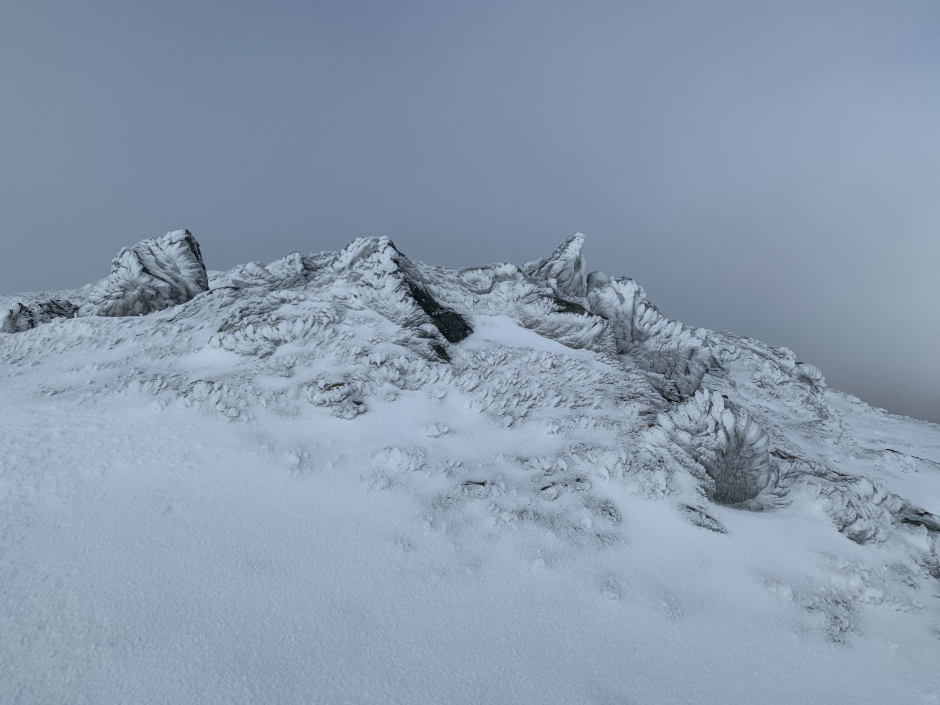
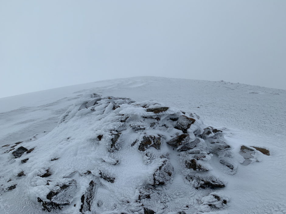
Rime ice:
Walking in cloud:
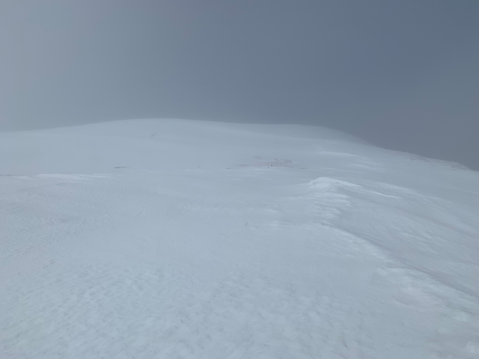
We soon reached the final ascent of Beinn Heasgarnich which was just about visible through the cloud.
Beinn Heasgarnich ahead:
Final steep ascent:
Good to reach the summit, summit views not so good.
At Beinn Heasgarnich's summit cairn:
From the summit we returned via the same route back to the van.
Taking care descending steep névé:
Looking back to Beinn Heasgarnich:
Back to Glen Lyon dam:
A nice short day out.