
Our Plan A for this weekend was to attend the Moray Mountaineering Club's weekend meet at Crianlarich to ascend some Munros and/or Tops. However, due to MWIS suggesting strong winds, heavy rain and 10% cloud-free Munros, we implemented Plan B, a trip to the Southern Uplands to ascend some Marilyns.
We set off early this morning with a view to initially ascending Well Hill.
Hill: Well Hill
Date: Friday 3rd February 2023
Company: Myself and Ann-Marie
Distance: 5.9km, Ascent: 273m
Time: 1Hr 30Mins
Well Hill is without doubt a Marilyn.
Despite failing to reach the height of 2000ft, this hill and eleven others, have recently been promoted to Graham status.
The alleged owner of the Grahams list has apparently trademarked "the Grahams" and has decided, after several decades, to amend the definition of a Graham. The definition is now a mix of metric and imperial, with a metric floor of 600m and an imperial ceiling of 2500ft. This is a complete nonsense. Alan Dawson, the alleged owner of the list has not done himself any favours as I have yet to meet anyone who doesn't think he is a complete arse for making this change.
Does Alan "own" the Grahams list? From a legal viewpoint, it would be interesting to see someone challenge his trademark, especially given Fiona Tarbet (Graham), who the list is named after, was every bit as much an owner of the list as Alan Dawson ever was.
As far as I am concerned, the definition of a Graham remains a hill between 2000ft and 2500ft.
Route:
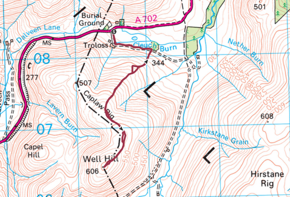
At the starting point there is a sign advising that the track is private and is not a right of way. I ignored the sign and continued walking. Whether it is a right of way, or not, doesn't stop walkers from being able to use it. This got me wondering if they had something to hide, after all the Lowther Hills are renowned wildlife crime territory.
Starting point at entrance to Troloss Farm:
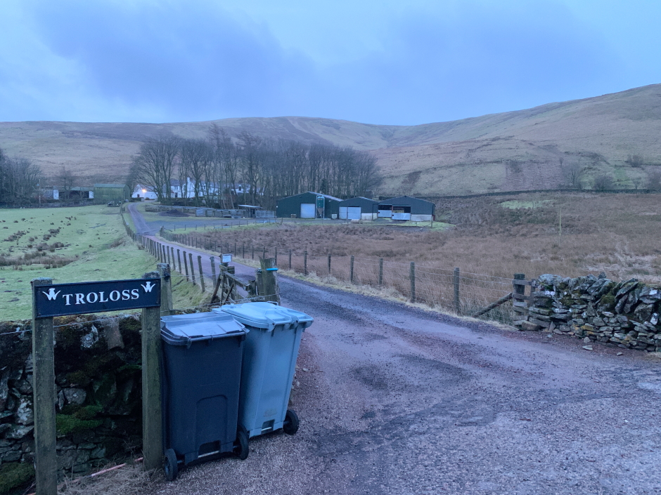
After passing some barking dogs in an outside kennel, a number of caged pheasant, and a number of domesticated birds with clipped wings, we made our way along the track which skirts round Well Hill.
Track skirting round the base of Well Hill:

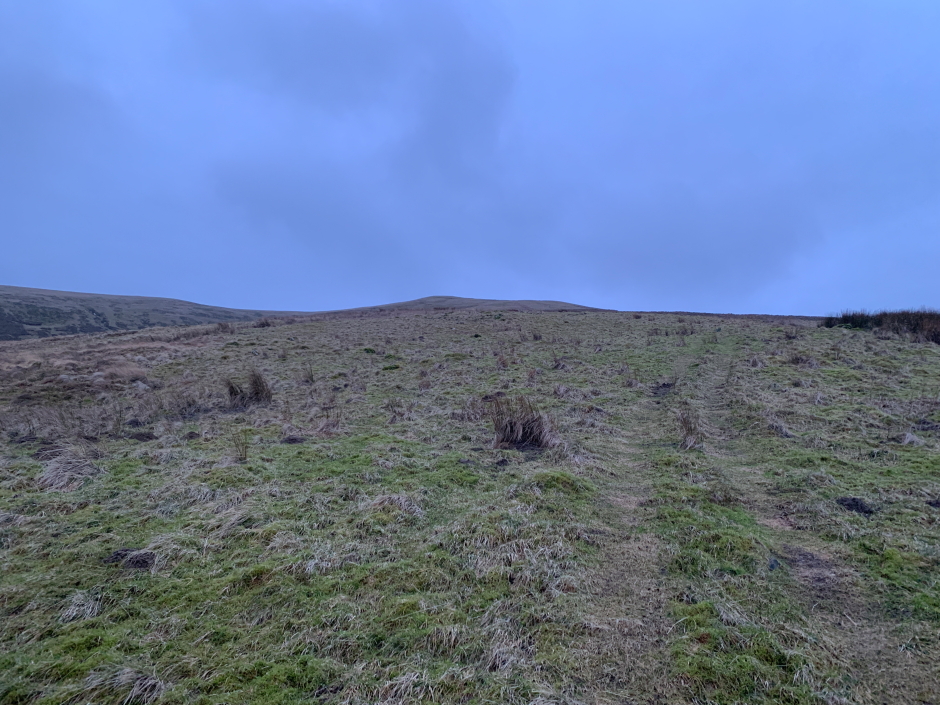
On reaching a small wood, we took to the hillside following the ATV track all the way to the summit.
Ascent of Well Hill:
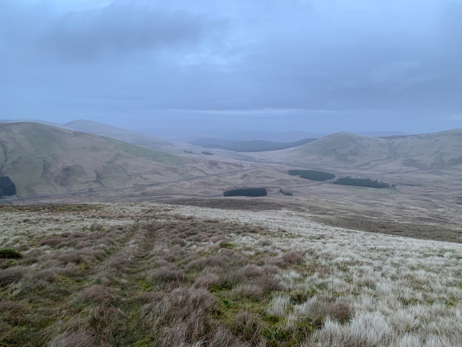
During the ascent we could see a Larsen trap. These are generally used for catching crows but they have been known to also catch birds of prey. I decided to check out the trap on our return.
Looking back during ascent:
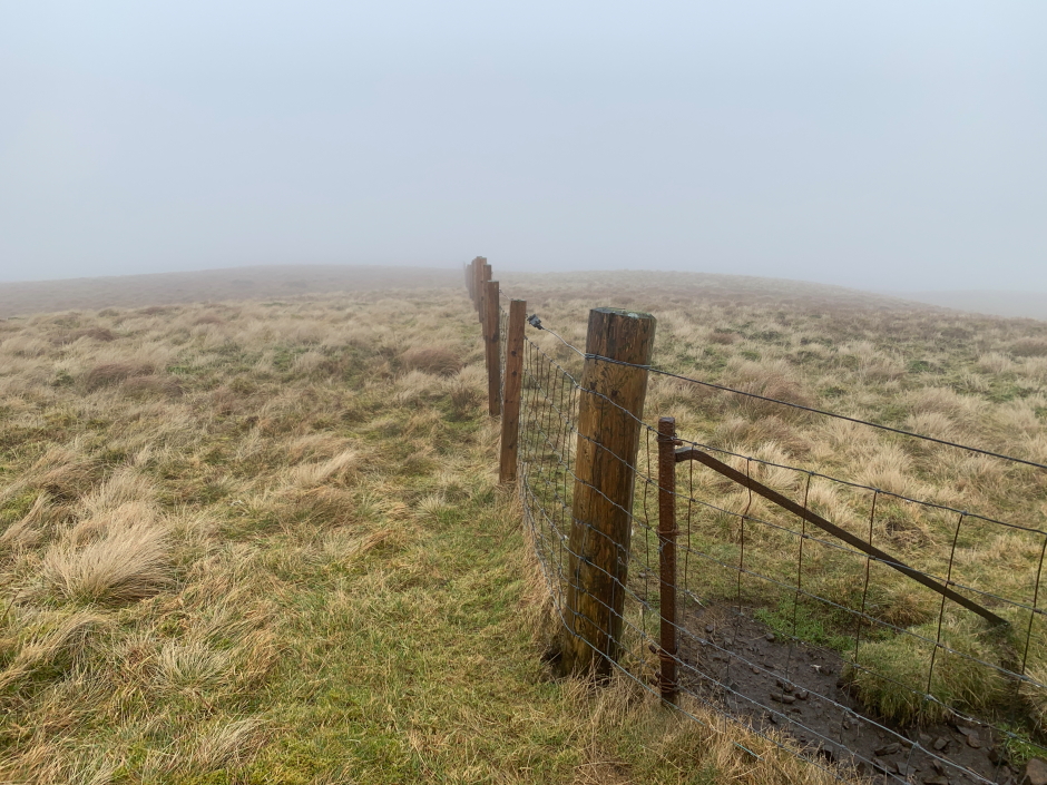
It didn't take long to reach the summit which is at the fence junction.
At the summit of Well Hill:

From the summit we returned to the car via the same route with the exception of a short detour to check out the Larsen trap.
Descent:

I was glad to find no birds or other animals in the trap and find it was not currently in use.
Larsen Trap:

On getting back to the car, we drove a short distance to ascend our second Marilyn of the day, Hods Hill.
Hill: Hods Hill
Date: Friday 3rd February 2023
Company: Myself and Ann-Marie
Distance: 6.8km, Ascent: 265m
Time: 1Hr 40Mins
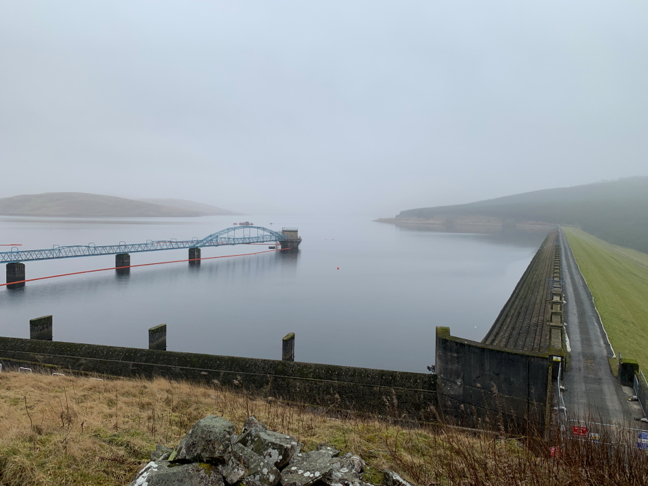
For our ascent of Hods Hill, we initially drove to the Daer Reservoir dam with a view to walking across the dam and then gaining access to the hillside.
The dam is however currently closed and apparently has been for some time. There are workmen working on the dam and there are countless health and safety signs. We therefore returned to the other side of the dam such that we could ascend Hods Hill without having to cross the dam.
Route:
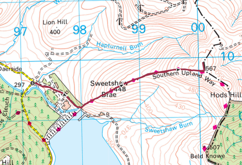
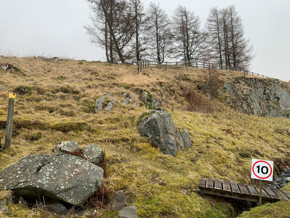
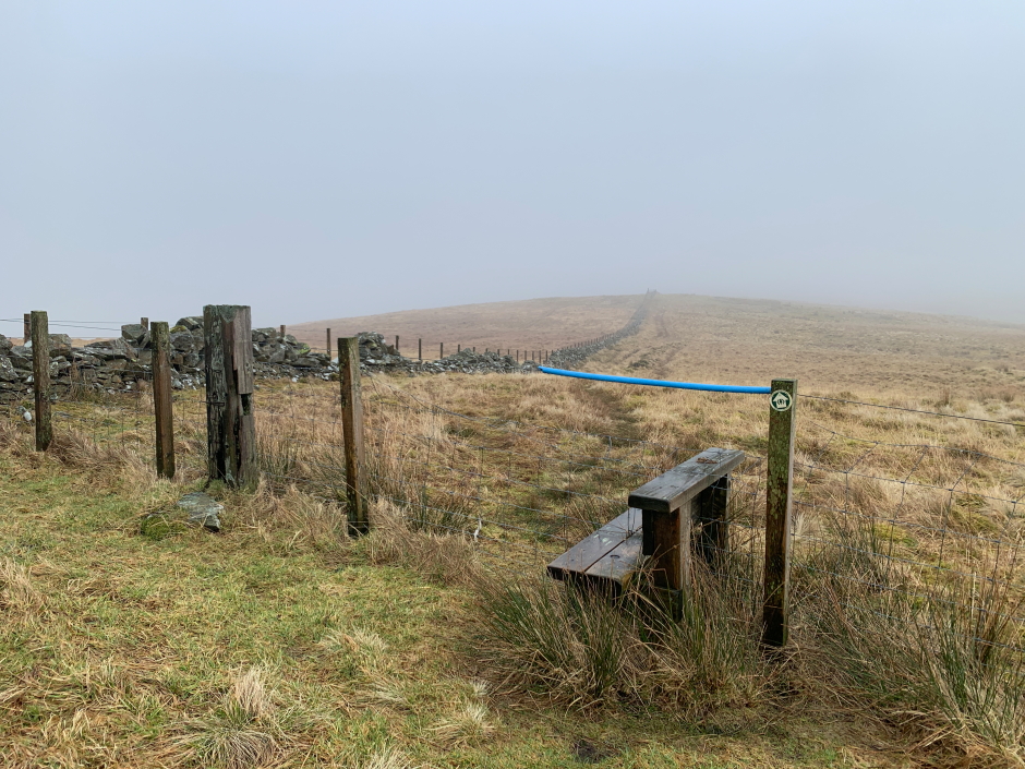
From the dam, the ascent of Hods Hill is via a section of the Southern Upland Way. The route has numerous waymarkers and stiles over all the fences.
Start of ascent from next to Daer Reservoir dam:
It was disappointing to not get better views of the Daer Reservoir and dam. I last visited this area in September 2011 to ascend the Daer Donalds.
Daer Reservoir and dam:
Southern Upland Way waymarker:

One of several stiles:
The best part of the walk was meeting two nice horses
Horses:

On reaching a fence junction at a height of 567m, we briefly left the Southern Upland Way track following the fence out to the 569m summit.
At the summit of Hods Hill:
We returned to the car via the same route.
After driving to Moffat for some lunch, including a visit to the Moffat Toffee Shop, we decided to ascend a third and final Marilyn. We drove from Moffat to East Ayrshire for an ascent of Middlefield Law.
Hill: Middlefield Law
Date: Friday 3rd February 2023
Company: Myself and Ann-Marie
Distance: 2.6km, Ascent: 150m
Time: 38 Mins
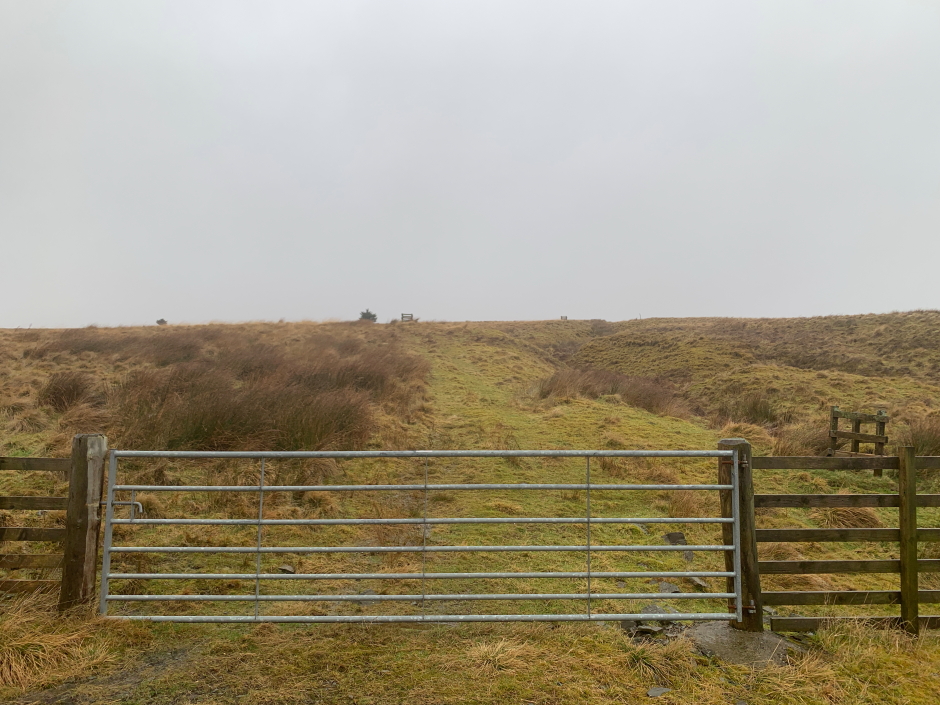
We parked next to the gate, where there is very limited parking, and followed the path from beyond the gate all the way to the summit and back.
Route:

Track beyond gate:
During the initial ascent we passed a number of small wooden structures. I am not sure what these are for. My initial thought was tree protectors but none of the structures have a tree inside. I also wondered if they were grouse butts, but they are too small to be grouse butts and they are enclosed on all sides.
One of numerous wooden structures:

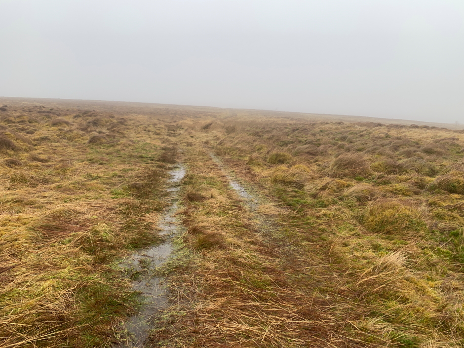
To ascend and descend this hill it was simply a case of plod on through much wetness. Given the low cloud and lack of views, it was not an inspiring walk.
Wet underfoot:
Middlefield Law:

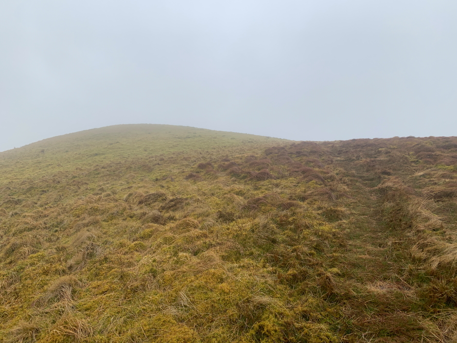
Before long we were approaching the summit.
Approaching the summit of Middlefield Law:
On reaching the summit I visited the trig point and stood atop the cairn before returning back to the car.
Summit cairn and trig point:
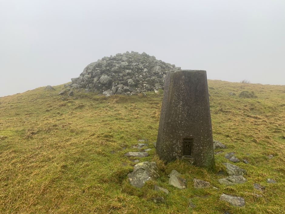
Atop the summit cairn:
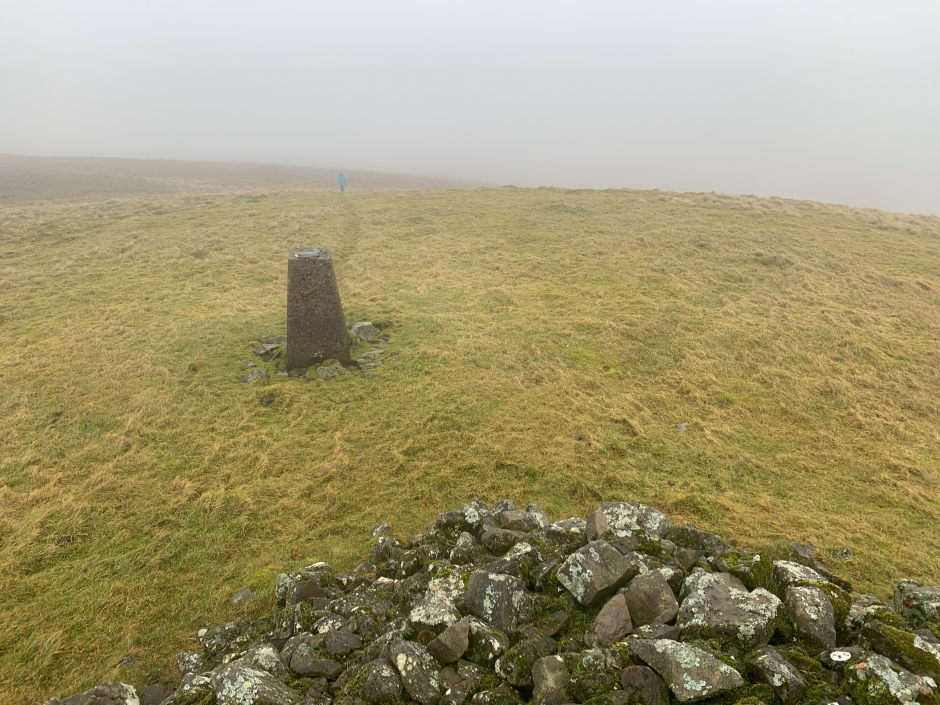
Limited view during descent:

I had read online someone advising that it had only taken him 45 minutes to ascend and descend this hill. Glad we therefore managed it in 38 minutes
Good to ascend three new Marilyns but am really hoping this wind and rain please sod off soon.