
Date: Saturday 4th February 2023
Company: Myself and Ann-Marie
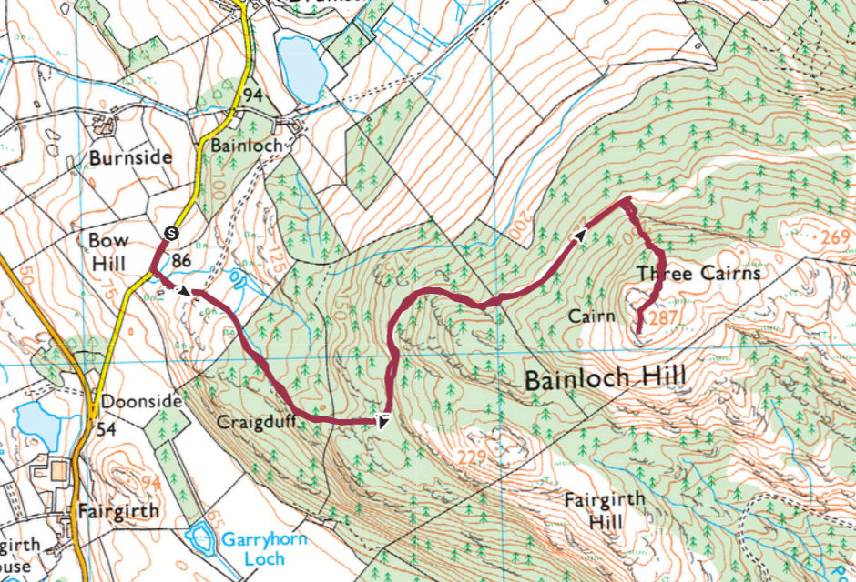
Distance: 4.4km, Ascent: 200m
Time: 1Hr 5Mins
It had been our intention to spend today looking for wildlife. We made our way to Castle Loch near Lochmaben as I was aware two Bittern had been spotted there yesterday. We weren't fortunate enough to spot the Bittern, they are very elusive birds. We did see numerous Mute Swans, six Whooper Swans, three female Goldeneye, two Little Egrets and some Canada and Greylag Geese, all of which were distant.
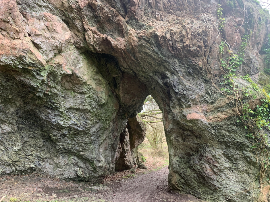
We next drove to the Solway Firth to walk along a short section of wildlife reserve coast but unfortunately spotted even less wildlife there. While walking this coast, we did however pass through a nice natural arch called the Needle's Eye.
The Needle's Eye:
Given we were having limited wildlife success, we changed our plans opting instead to ascend a nearby Marilyn.
Previous Trip Reports on Walk Highlands describe the ascent of Bainloch Hill as an "obstacle course" with trees blocking tracks, tussocks, bog, having to climb deer fences, firebreaks through dense forest, etc. We anticipated the ascent would be Type 2 fun
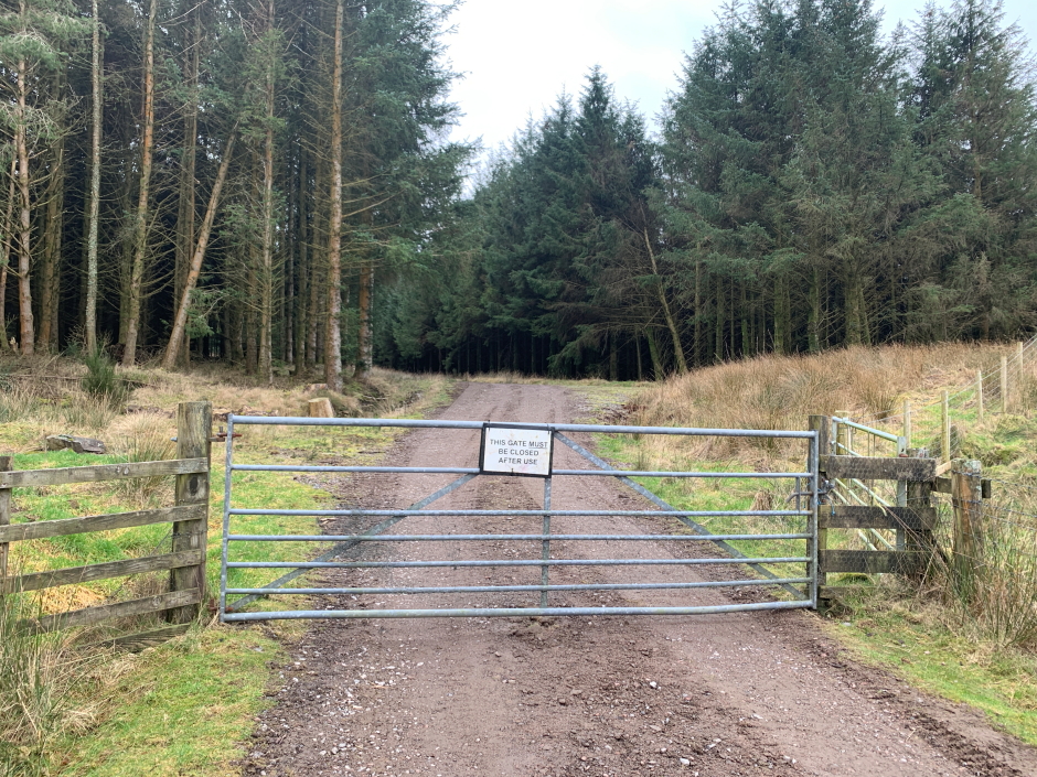
We opted to start our ascent from just north of Doonside. This couldn't have worked out better
Route:
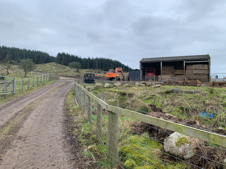
We commenced our ascent along a good track leading into farmland.
Start of track:
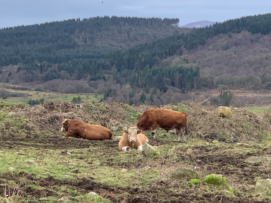
After crossing a cattle grid, we noticed we were in the same field as three bulls. I am usually apprehensive entering a field with cows, never mind bulls, so we proceeded very quickly to get past the next gate. Thankfully the bulls just watched as we passed by!
Bulls:
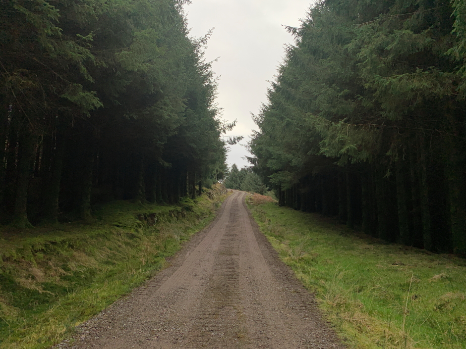
We were now onto a very good track that was not marked on my OS map. Instead of following any of the obstacle course routes described on Walk Highlands, we opted to continue along this new track hoping that it would assist in our ascent of the hill.
Into the forest:
We followed the new track on and on, while checking on the GPS that we were continuing to head in the correct general direction.
Following the excellent new track not detailed on OS map:
Following the excellent new track not detailed on OS map:
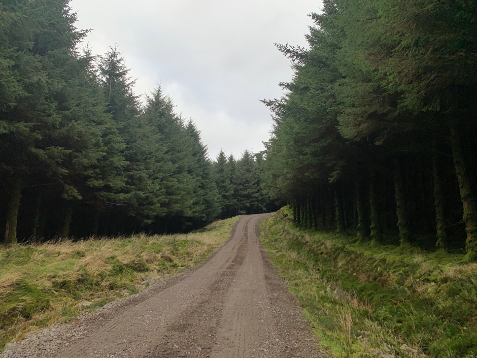
Not only did this new track head in the right general direction, it took us to within 200-300m distance of the summit
Looking down towards starting point:
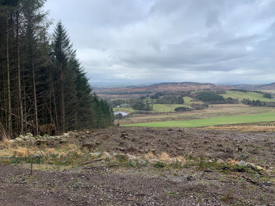
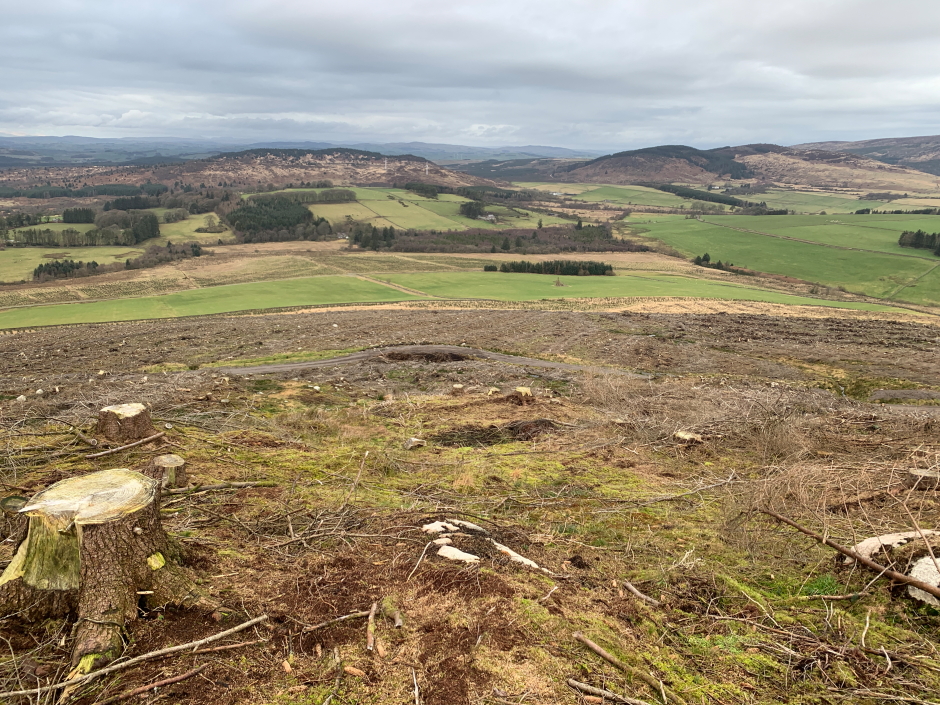
I had expected to ascend a short firebreak leading to the summit. The new track has been put in place to transport trees down the hill; there has been much felling.
The expected firebreak no longer exists. It was however still worth ascending where the firebreak was as there is less tree debris there than elsewhere.
Where the OS map suggests there was a firebreak:

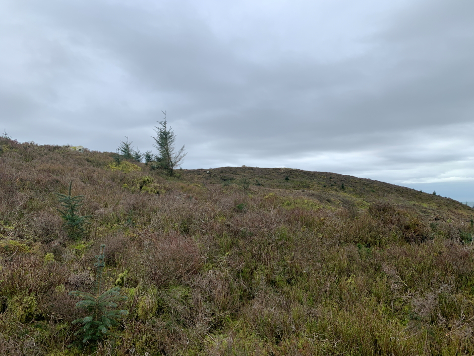
On reaching the top of what was the firebreak we had a short section of heather to cross to reach the summit.
Approaching the summit of Bainloch Hill:
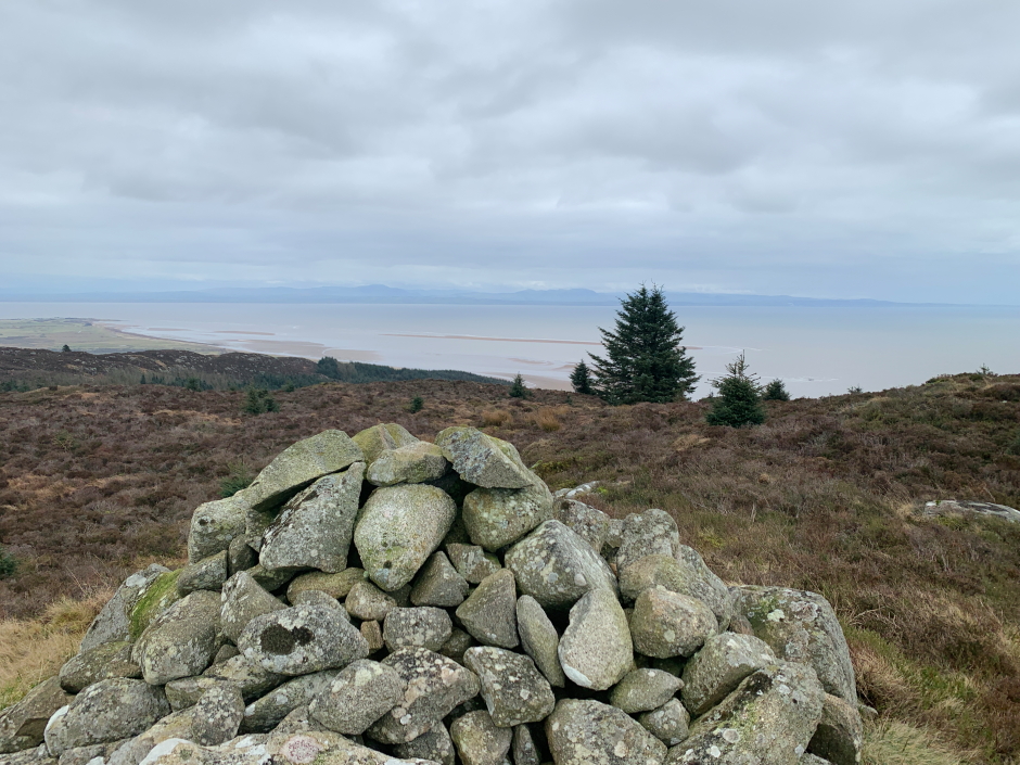
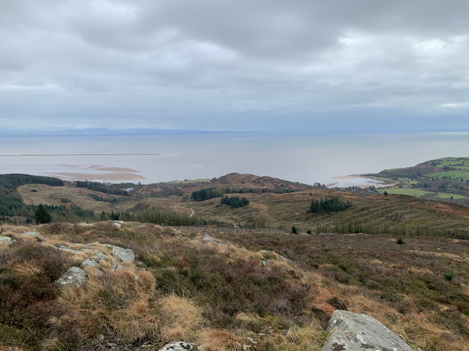
We visited the summit cairn and then continued on fifty metres or so to take photos looking down onto the Solway Firth.
The Solway Firth from the summit of Bainloch Hill:
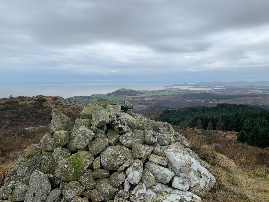
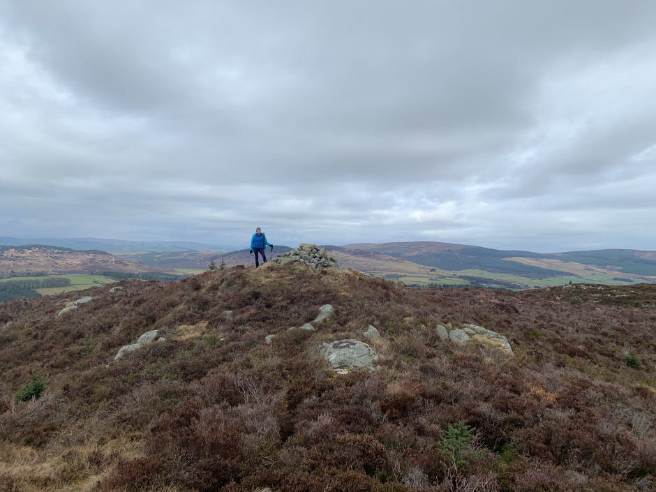
Summit cairn:
Ann-Marie at the summit cairn:
The Solway Firth:
We then returned to the car via the same route.
Descent back onto the new track:
This is now a fairly straight-forward, easy Marilyn.