
Date: Monday 3rd April 2023
Company: Just myself
Distance: 12km, Ascent: 475m
Time: 3Hrs 30Mins
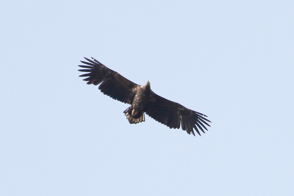
En-route to ascending yesterday's hill, I stopped to photograph three eagles soaring high above. It was windy at sea level (35mph gusts) thus a challenge to hold the camera and lens still.
White-tailed Eagles:

Juvenile White-tailed Eagle:
After photographing the eagles, I continued-on to the starting point for an ascent of Guaineamol, one of several Marilyns located in the remote Pairc area of Lewis.
As it was already lunchtime, I had no intention of carrying-on towards Beinn Mhor and potentially beyond.
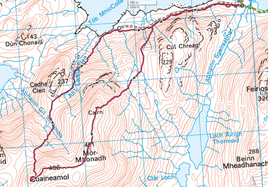
Route:
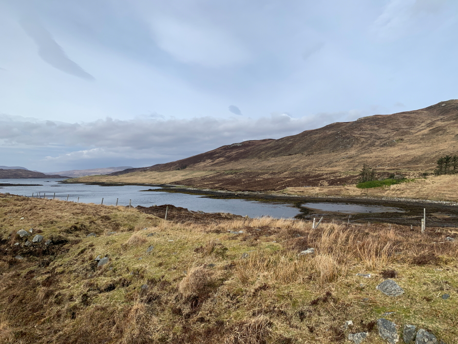
Once suited and booted I commenced the walk along the track running parallel to Loch na h-Athadh. I had visited this area once previously, twelve years ago, to ascend Feiriosbhal.
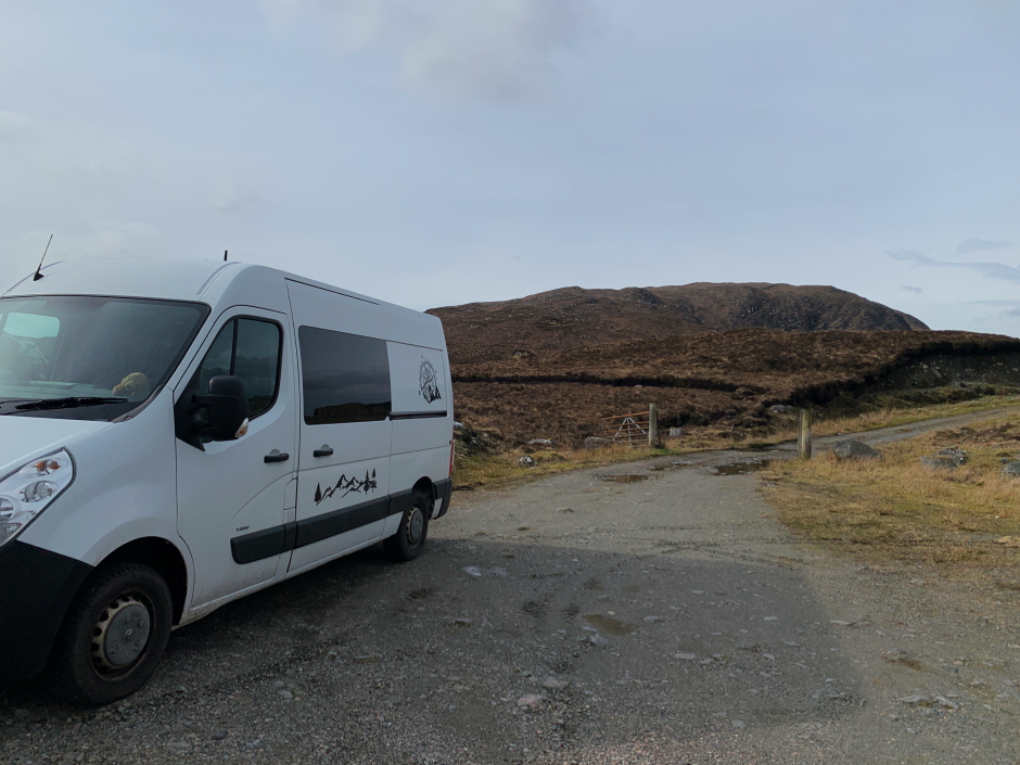
Starting point:
The walk along the track was pleasant.
Walking alongside Loch na h-Athadh:
Instead of walking as intended to the end of the track, I decided to start my ascent where I could see a nice line up the hill next to a water pipe.
Start of ascent:
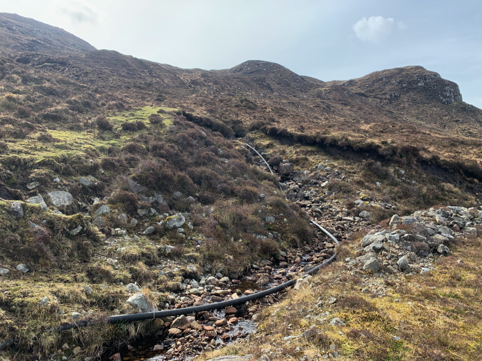
From the outset of the ascent, the going was rough and would only get worse as I continued on and up; typical walking on bog covered Lewisian Gneiss
Ascending lower slopes of Mor-Mhonadh:
Looking back to Loch na h-Athadh:
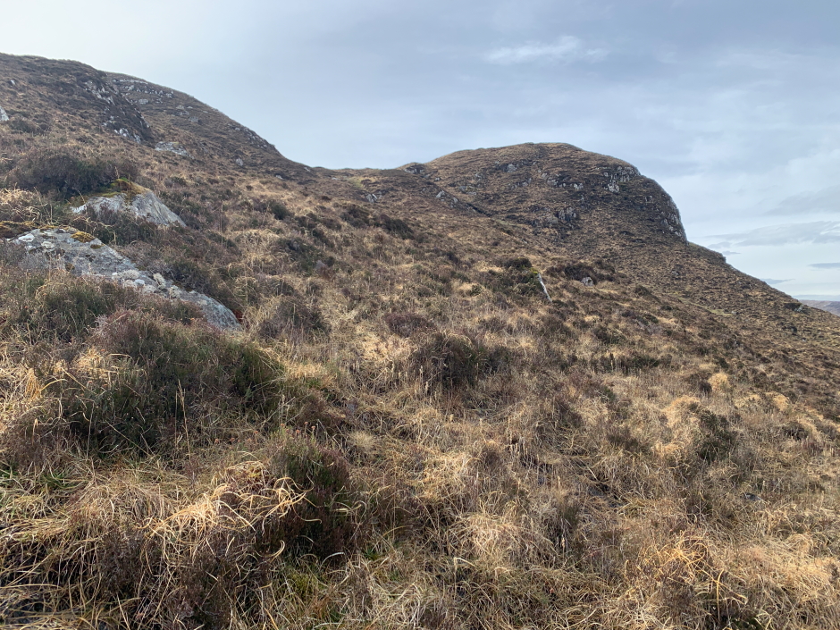
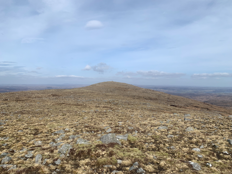
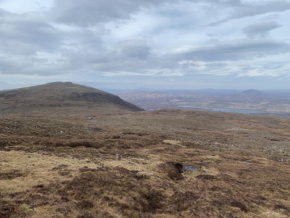
Once up the initial steep section, I made my way across a relatively flat, wet, area with a view to ascending to the cairn-topped 360m summit of Mor-Mhonadh. From there I would follow the ridge round to the summit of Guaineamol.
Heading towards North top of Mor-Mhonadh marked on map with Cairn:
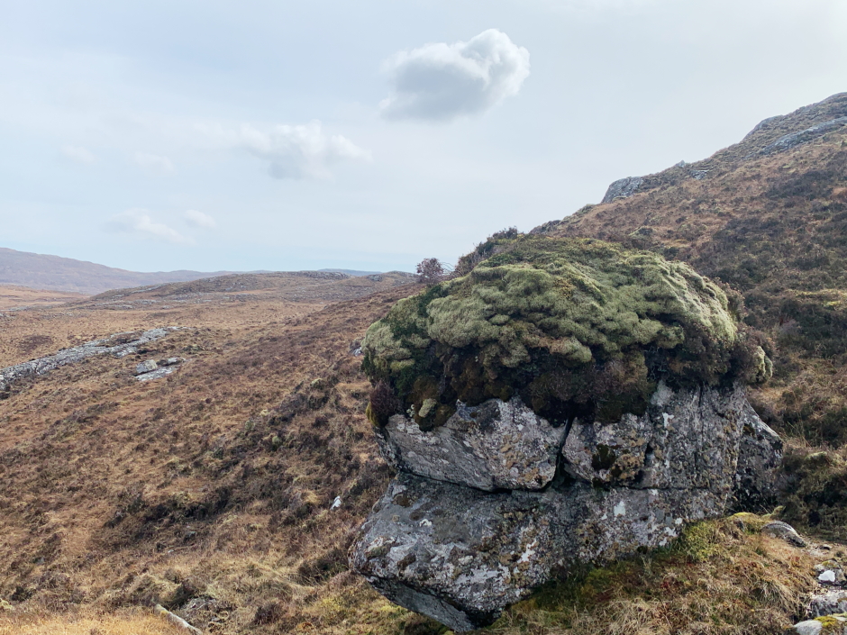
During the ascent I stopped to photograph a moss-covered boulder. As I gained height, the wind speed was becoming increasingly unpleasant.
Boulder in need of a haircut:
Once onto the ridge I had to endure the full force of the wind. While the forecast was 35mph gusts at sea-level, I would estimate it was gusting around 50-60mph on the ridge.
At the 360m north top of Mor-Mhonadh:
Looking back towards the 360m north top:
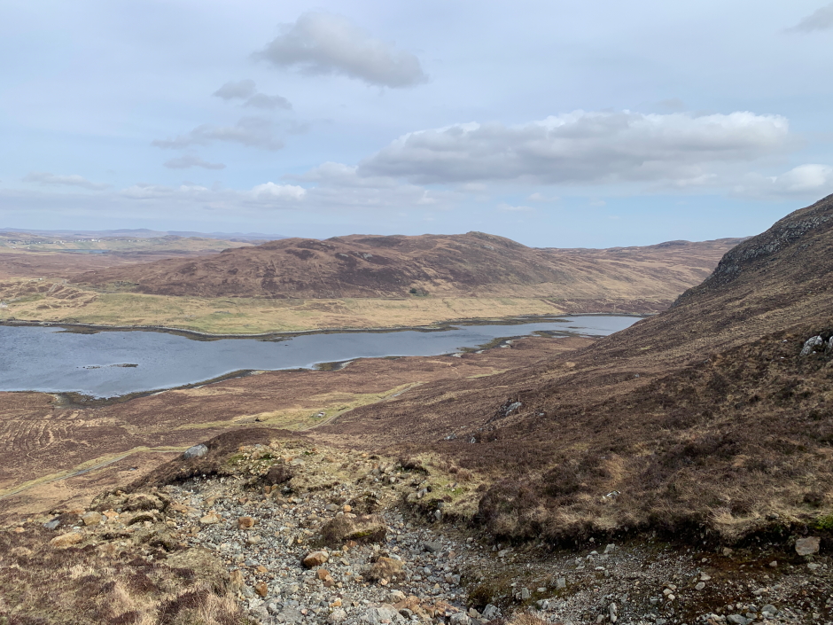
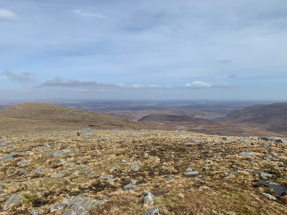
View from Mor-Mhonadh:
At one point my beanie hat blew off my head and I had to chase it across the hillside, and on putting my rucksack on the ground it was also getting blown away in the wind.
Instead of therefore sticking to the top of the ridge, I opted to take a line just below the ridge missing out the summit of Mor-Mhonadh.
Looking back:
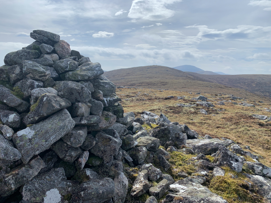
I obviously had to go back onto the ridge to visit the cairn and then the summit a couple of hundred metres beyond
At the Guaineamol cairn:

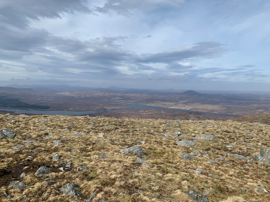
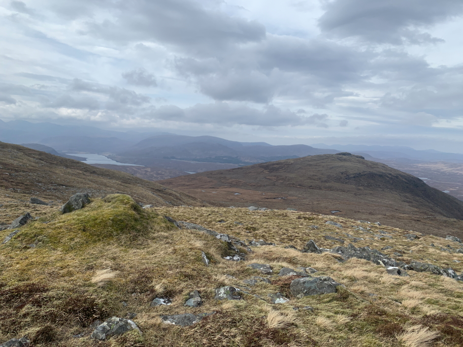
Looking towards Sidhean an Airgid from the summit of Guaineamol:
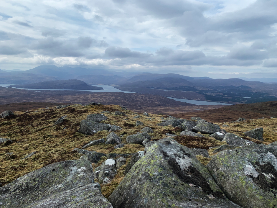
View from the summit of Guaineamol:
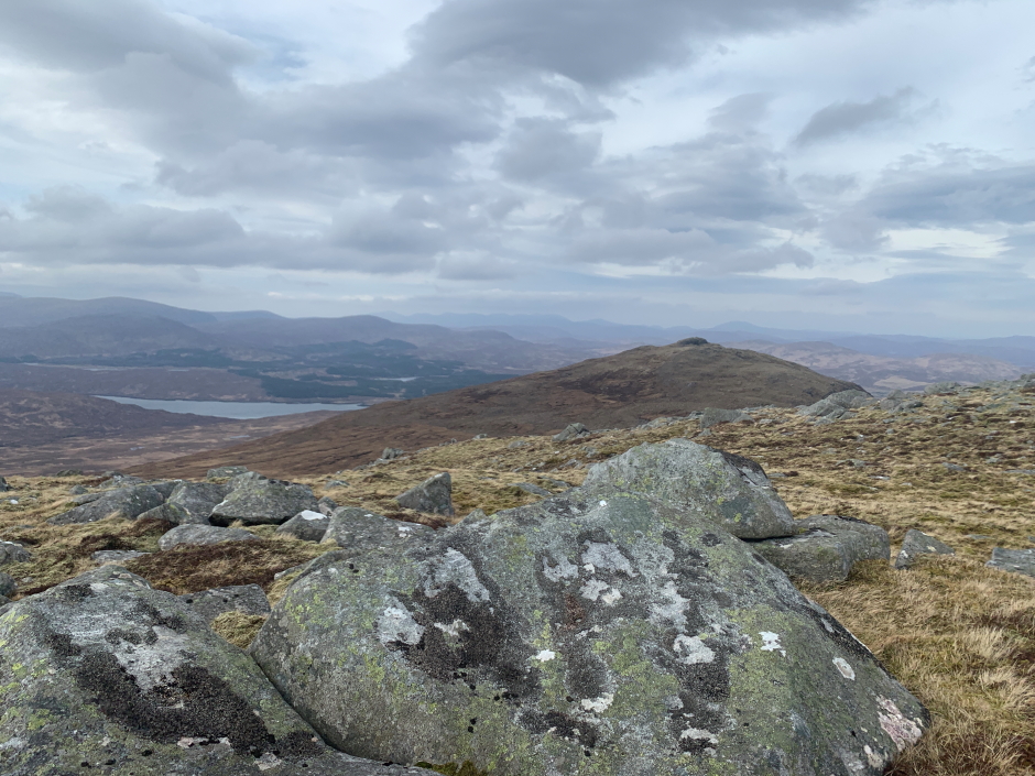
View from the summit of Guaineamol:
After taking a few quick snaps at the summit, I had a look at the map to see if I could descend in the direction of the wind thus using the hill as shelter. It looked feasible so that's what I did.
I descended directly from Guaineamol making my way towards Cadha Cleit.
Taking a different descent route to escape the strong gale force winds:
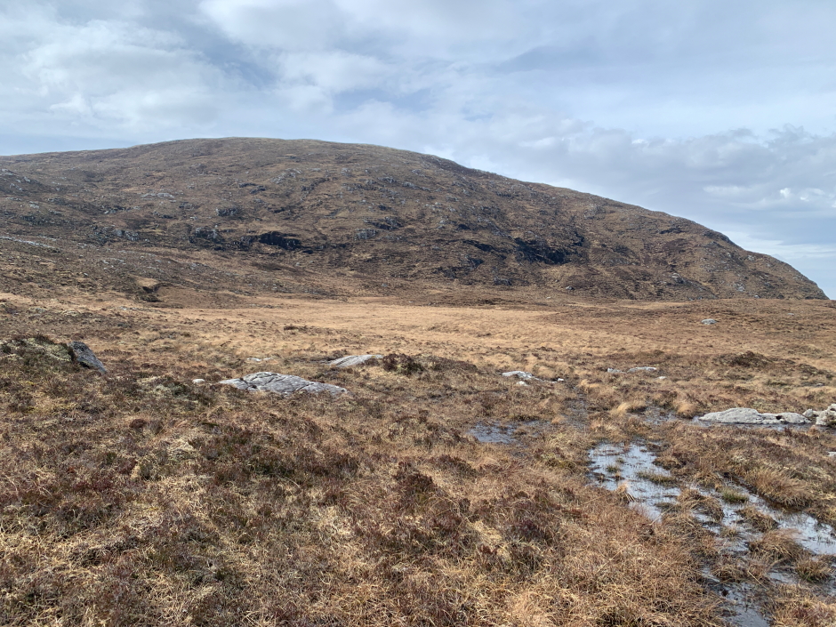
Mor-Mhonadh:

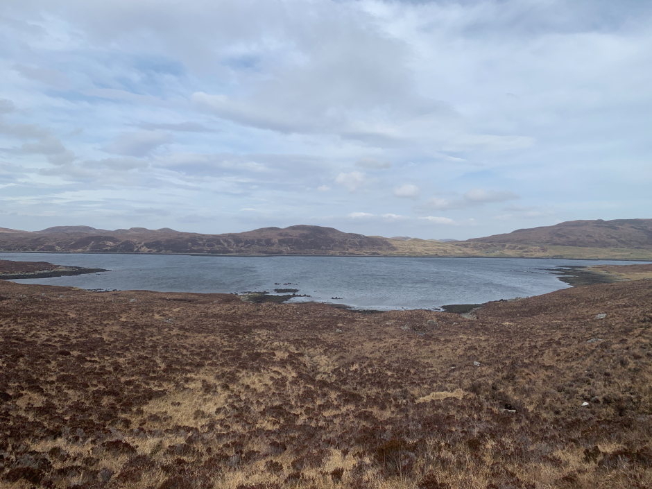
I then skirted round Cadha Cleit and descended beyond to reach the shore of Loch na h-Athadh.
Descent to Loch na h-Athadh:
At Loch na h-Athadh:
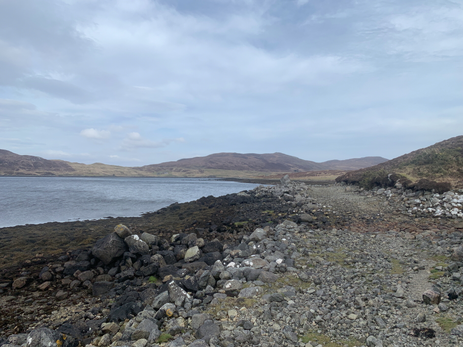
At Loch na h-Athadh:
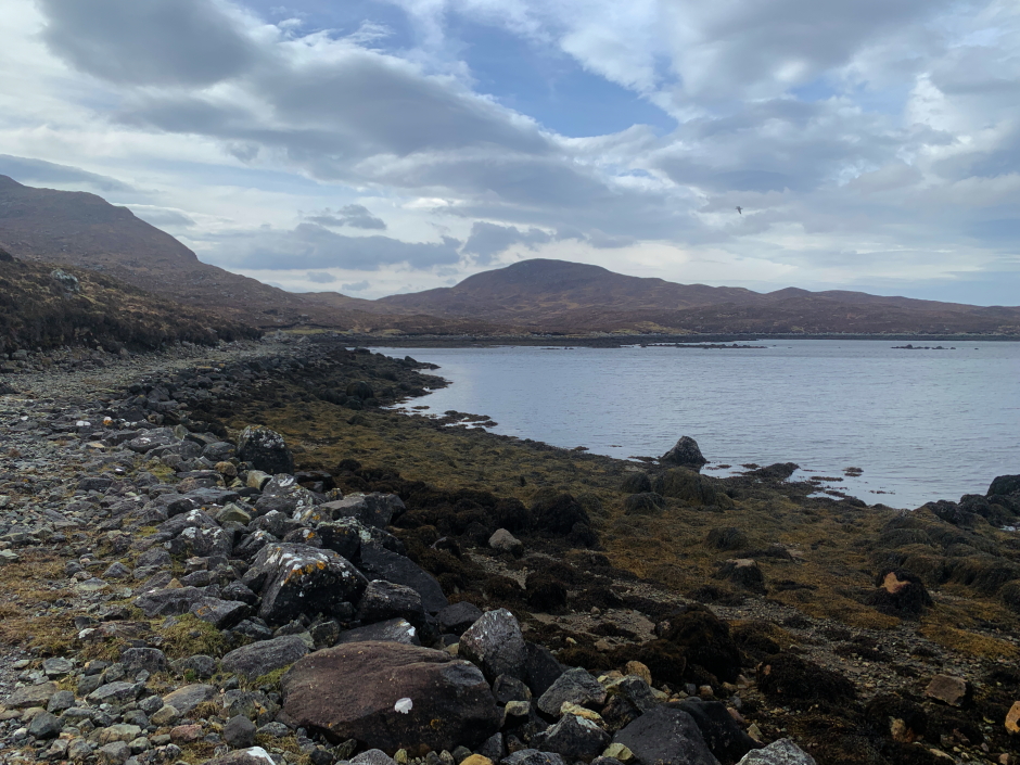
From the shore of Loch na h-Athadh, I walked a couple of hundred metres round the shoreline to reach the start of the track leading back out to my starting point.
On reaching the van, before moving off, I had a good wash and tick-check, a cup of coffee and cooked some local black-pudding to have black pudding rolls
As the wind is forecast to be even stronger today and tomorrow, I am not yet sure what to do. The wind is too strong to hillwalk and too strong to lookout for cetaceans.
In the two days previous, I spotted Harbour Porpoise, White-beaked Dolphins and Orca (12s pod) while looking out from Tiumpan Head and from the Port of Ness.