
Date: Thursday 20th April 2023
Company: Myself and Ann-Marie
Distance: 19.5km, Ascent: 1300m
Time: 7Hrs 10Mins
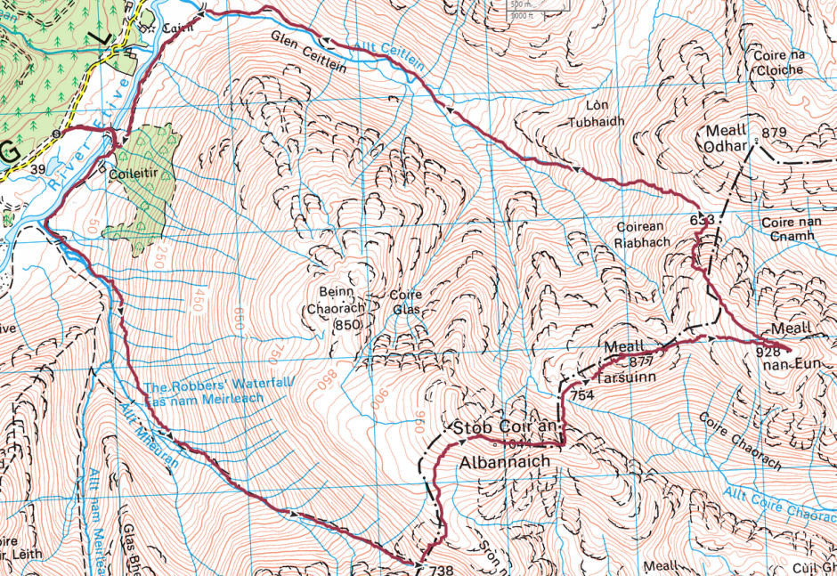
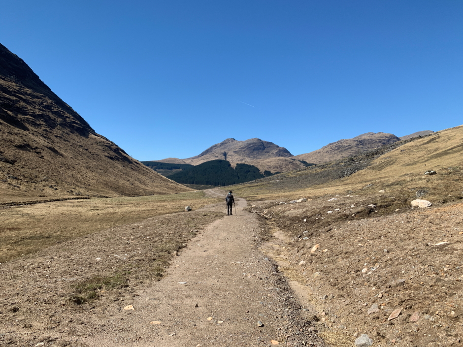
On Thursday morning, we drove to Glen Etive for an ascent of Stob Coir' an Albannaich and Meall nan Eun. We parked in the parking area opposite the track leading to Coileitir. The weather from the outset was sublime
Once suited and booted, I debated whether to undertake a clockwise or anti-clockwise circuit of these hills. I opted for an anti-clockwise circuit ascending Stob Coir' an Albannaich first. We had both ascended these hills once previously, Ann-Marie in 2020 and myself in 2003.
Route:
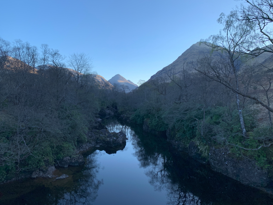
The view from the start of the track, and from the bridge across the River Etive, were both familiar having taken similar photos twice in 2022. Ben Starav is a great hill.
Glas Bheinn Mhor and Ben Starav from start of track:

River Etive:
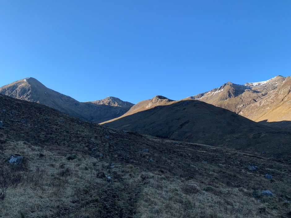
Instead of taking the path which goes behind Coiletir cottage, we commenced our ascent a few hundred metres beyond following the faint path alongside the burn (don't cross the bridge). This is the route suggested in WalkHighlands.
Glas Bheinn Mhor and Ben Starav during walk-in:
The ascent as far as the col took longer than anticipated as I was not firing on all cylinders
As I had been coughing and spluttering the day previous, I took a Covid test the result of which was negative. I therefore assumed I had a common cold. However, on returning from the hills, I took another test and the result was positive. Covid for third time in 12 months
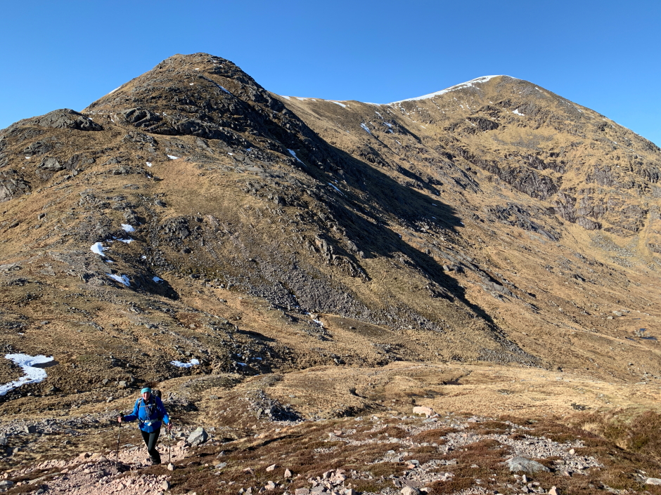
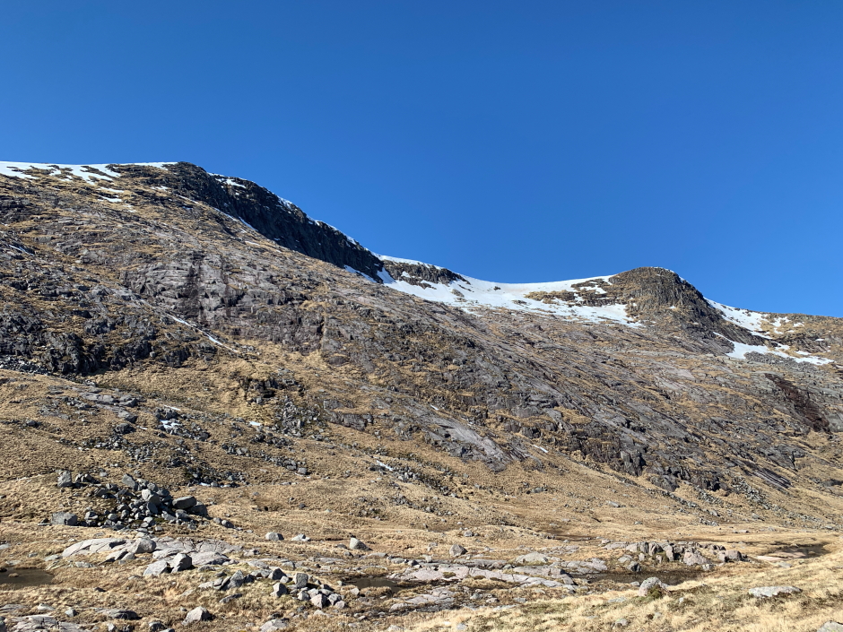
On reaching the col between Glas Bheinn Mhor and Stob Coir' an Albannaich, we commenced our ascent towards Stob Coir' an Albannaich. A good path zig-zags its way up the steep terrain.
Glas Bheinn Mhor from above the col between Glas Bheinn Mhor and Stob Coir' an Albannaich:
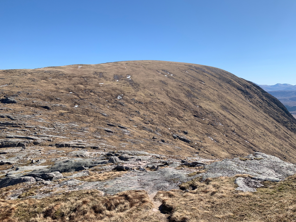
After negotiating the steep ascent from the col, it was easy walking to the summit.
Looking back towards Glas Bheinn Mhor and Ben Starav:
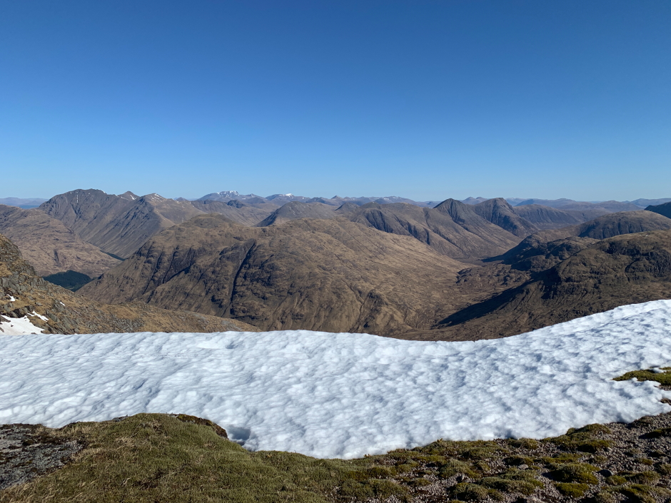
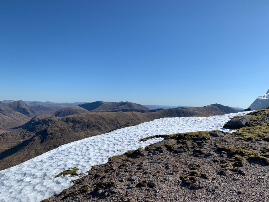
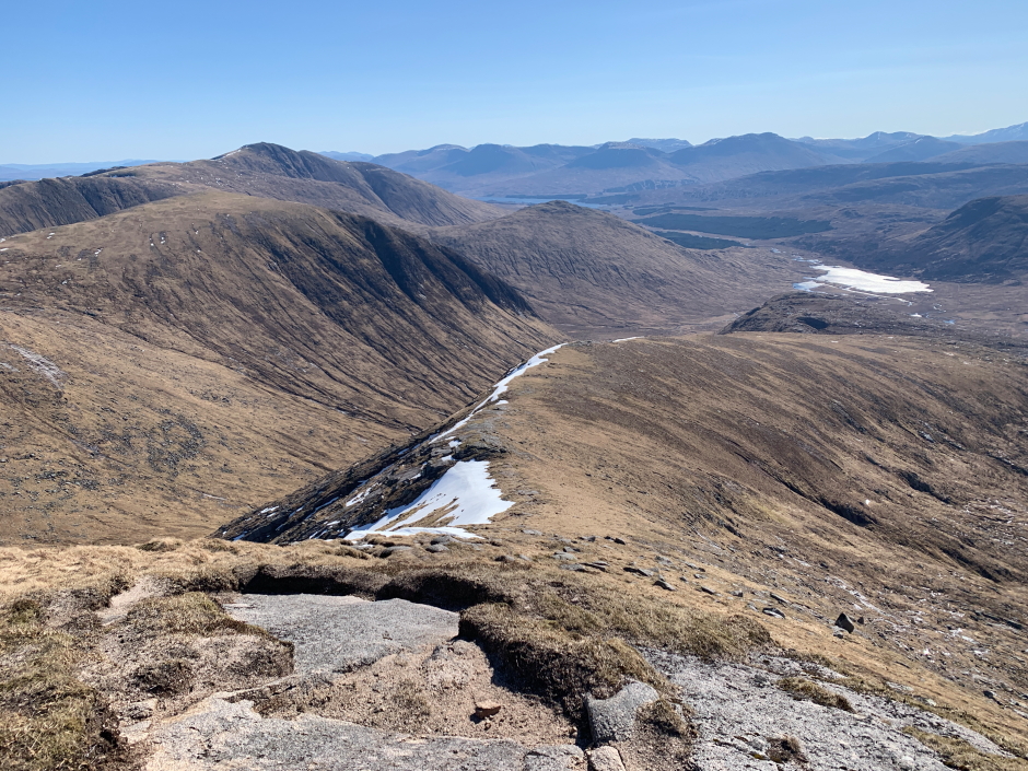
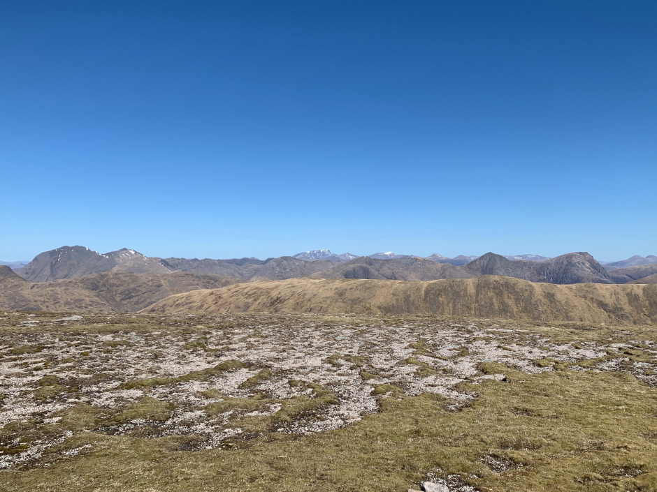
The views from the summit ridge and summit were stupendous.
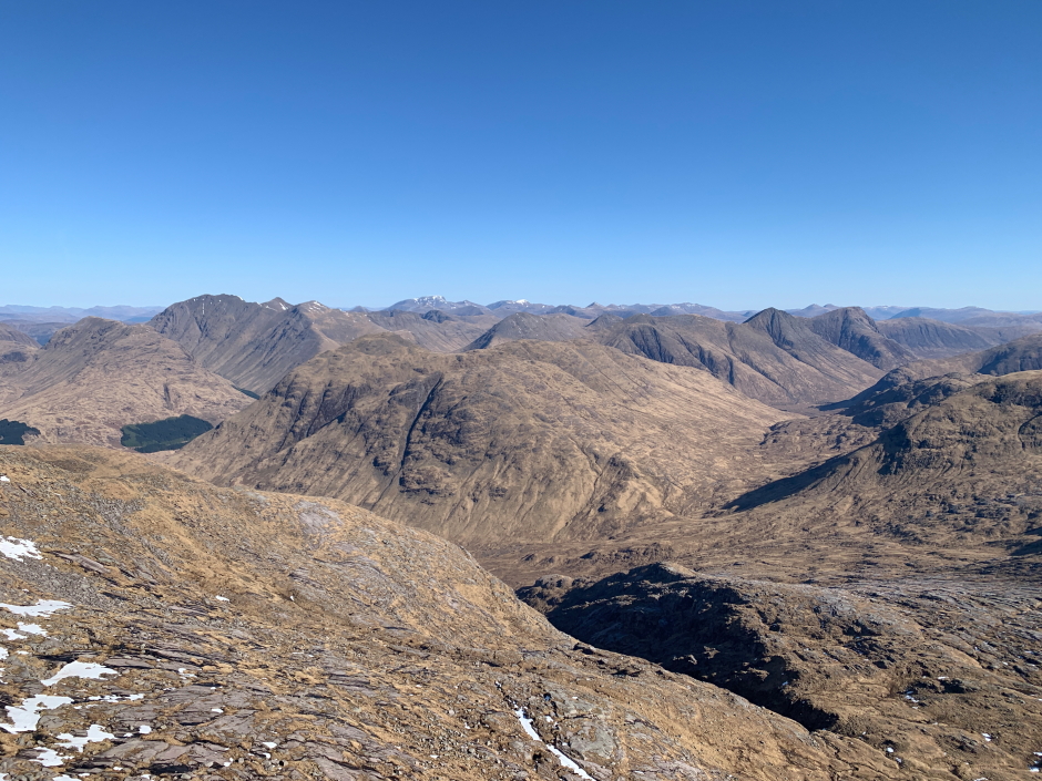
Glencoe hills with Ben Nevis beyond:
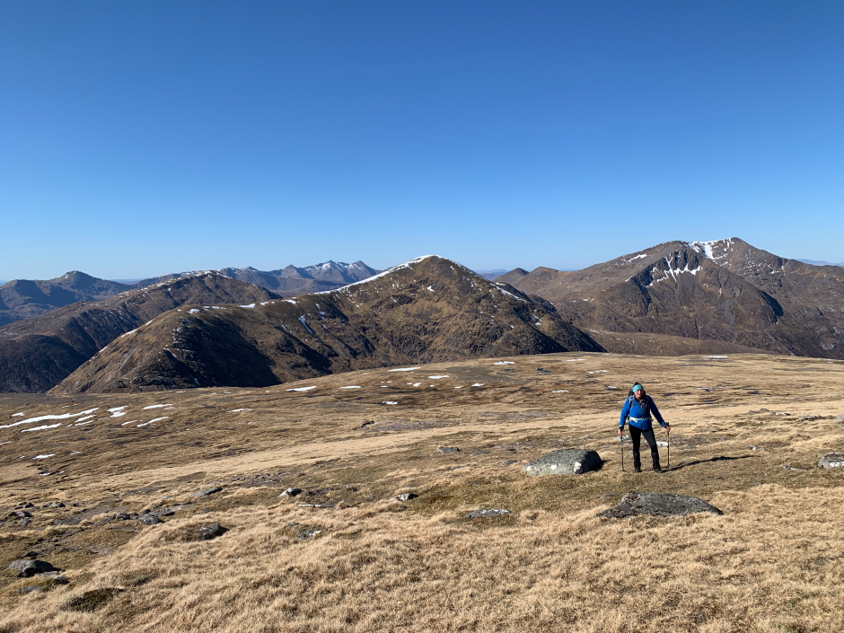
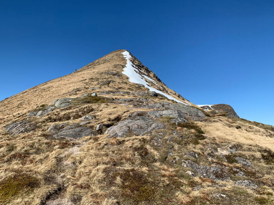
On the ridge leading to summit of Stob Coir' an Albannaich:
Approaching the summit of Stob Coir' an Albannaich:
On reaching the summit we stopped for a bite to eat and a drink, and took numerous photos. What a day!
View from the summit of Stob Coir' an Albannaich:
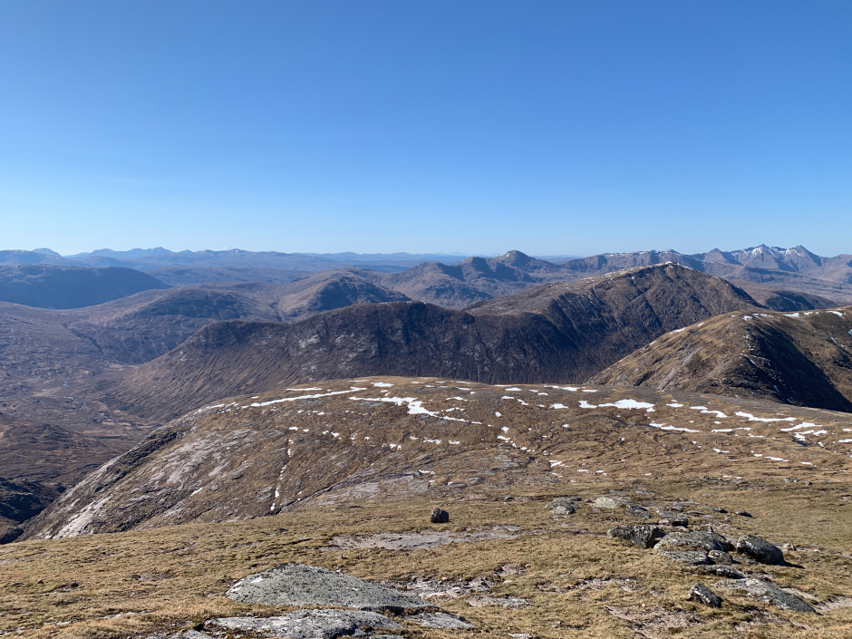
View from the summit of Stob Coir' an Albannaich:
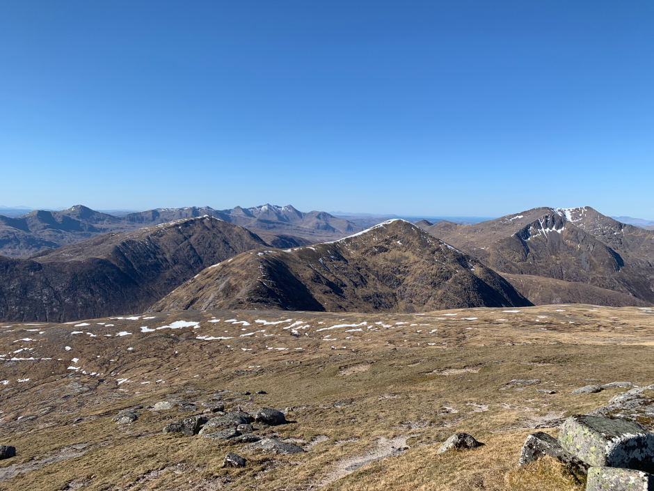
View from the summit of Stob Coir' an Albannaich:
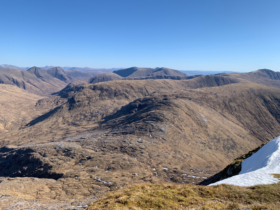
View from the summit of Stob Coir' an Albannaich:
Once we finished admiring the views, we commenced the steep descent via the east ridge.
Commencing descent from Stob Coir' an Albannaich:
Beyond the steep initial descent we continued along the ridge until reaching a cairn marking the start of a path leading to the col between Stob Coir' an Albannaich and Meall Tarsuinn. I had read somewhere that the descent was via a rake. The path we followed went down the buttress just to the right of the rake.
Looking back at steep descent from top of Stob Coir' an Albannaich:
On reaching the col, I stopped to take some photos looking back to Stob Coir' an Albannaich. Stob Coir' an Albannaich is a fantastic hill.
Looking back to Stob Coir' an Albannaich from col between Stob Coir' an Albannaich and Meall Tarsuinn:
From the col, we commenced our ascent of Meall Tarsuinn and before long were atop its summit. During the ascent I wondered if Meall Tarsuinn was a HuMP (HUndred Metre Prominence hill). It's drop is apparently 92m, so it falls short of HuMP criteria.
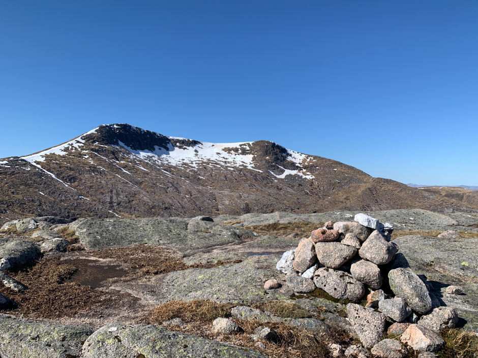
Stob Coir' an Albannaich from the summit of Meall Tarsuinn:
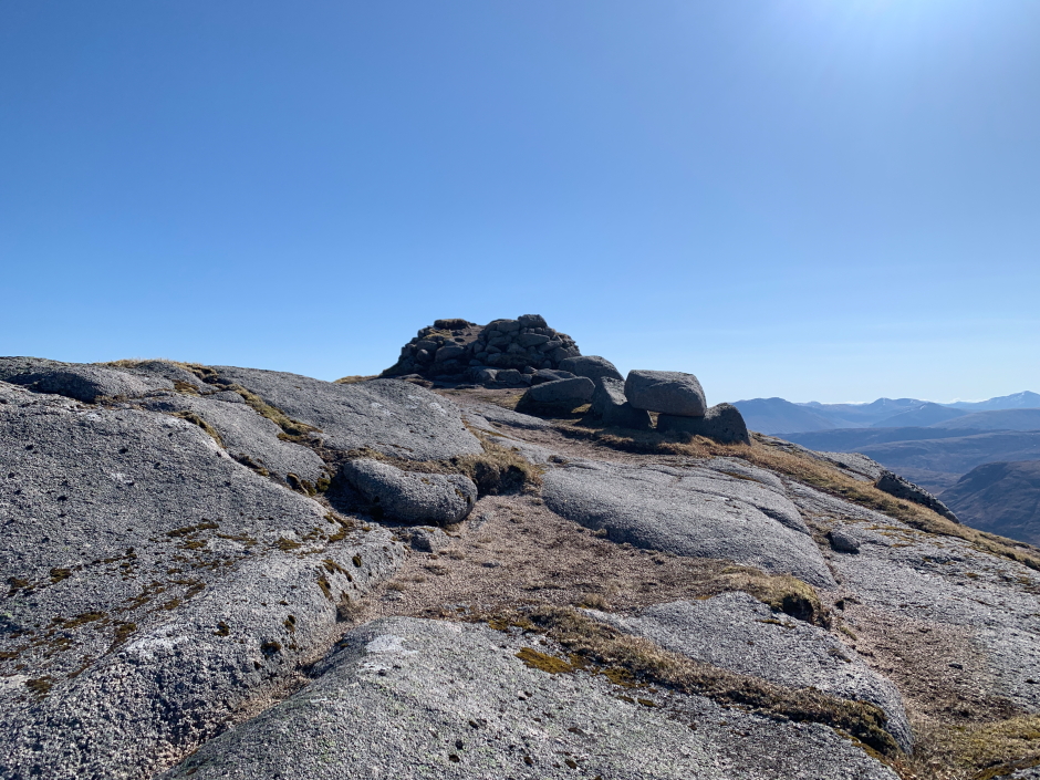
From Meall Tarsuinn, it was easy walking as far as the summit of Meall nan Eun.
Meall nan Eun on descent from Meall Tarsuinn:
On reaching the summit of Meall nan Eun we met two other walkers who were undertaking a clockwise circuit.
At the summit of Meall nan Eun:

View from the summit of Meall nan Eun:
During the descent, I think we managed to deviate slightly from the standard route. The path we followed petered out and we arrived at a crag a short distance above the col. I managed to find a line through the crag with only one move of mild scrambling required to get to the col.
From the col, it was a grassy descent down Glen Ceitlein. If there was a path heading down, I didn't find it, at least not until we were down to a height of around 350m.
Descent via Glen Ceitlein:

From the col we could see a new hydro scheme in Glen Ceitlein with a good track beyond. We therefore directed our descent towards the hydro scheme to make use of the new track.
Glen Ceitlein hydro scheme:
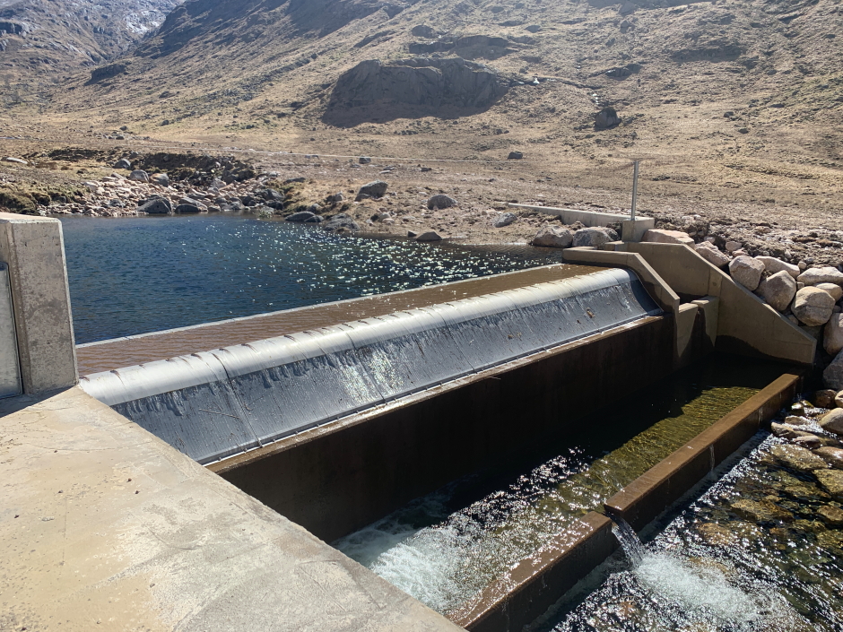
The good quality track from the new hydro scheme was much more pleasant than walking through long grass.
Glen Ceitlein hydro scheme track:
It was a relief to reach the car as it was now fairly warm; glad we started walking before 7am.
WalkHighlands suggests 7 - 9 Hours for this walk. It took us 7Hrs 10Mins including an hour of stops (6Hrs 10Mins moving time), and that was walking while feeling a bit grim with Covid.
Seven Munros remaining to complete Round 2. As usual, I have managed to leave some challenging ones till last