Date: Saturday 12th August 2023
Company: Just myself
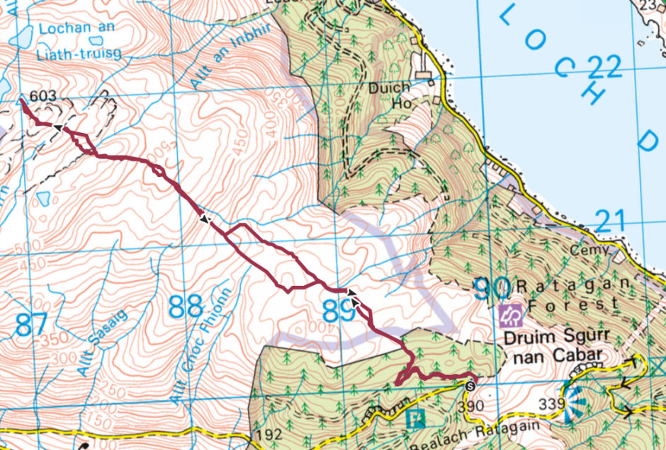
Distance: 8.9km, Ascent: 390m
Time: 2Hrs 40Mins
Grahams were originally meant to be hills between 2000ft and 2500ft. The alleged owner of the list has however recently decided to add an additional twelve Grahams which are all below 2000ft but above 600m. Beinn a' Chuirn is one of these twelve 'new Grahams'. As Beinn a' Chuirn is also a Marilyn, I would likely be ascending it anyway regardless of whether or not it is a Graham.
For my ascent of Beinn a' Chuirn, I parked near the start of a forestry track a short distance beyond the Mam Ratagan high-point.
Route:
Starting point:
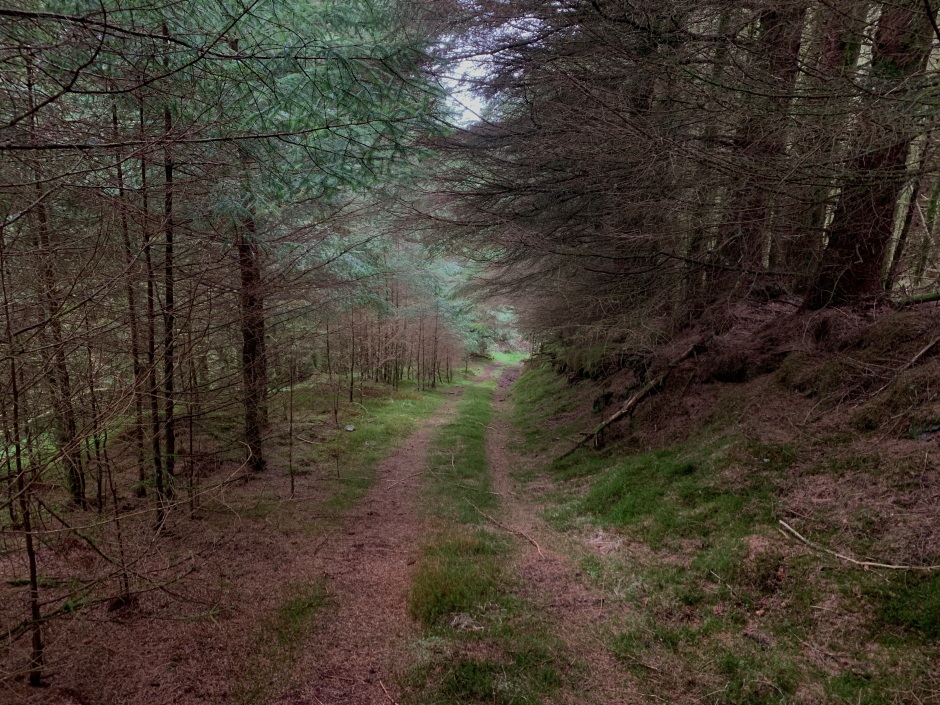
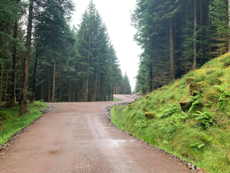
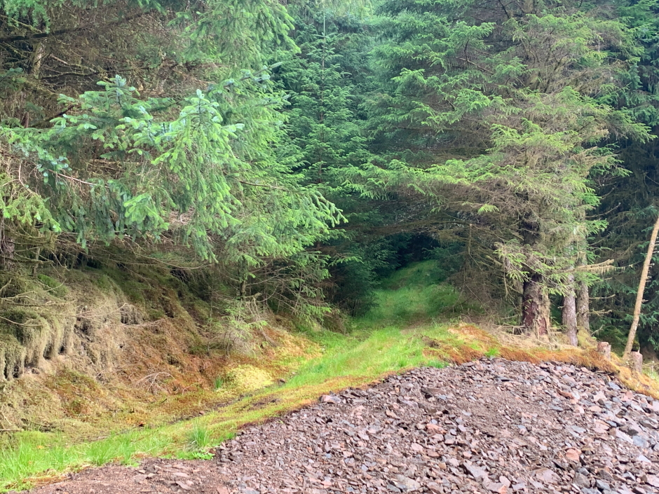
The initial part of this walk is via wide, excellent-quality forestry track. Don't let this fool you, there is worse to come.
Forestry track:
After walking approximately 0.5km along the excellent forestry track, you need to turn off up an ATV track.
ATV track:
The ATV track is a bit wet underfoot in places but is still pretty good. Don't let this fool you, there is worse to come.
Ascending the ATV track:

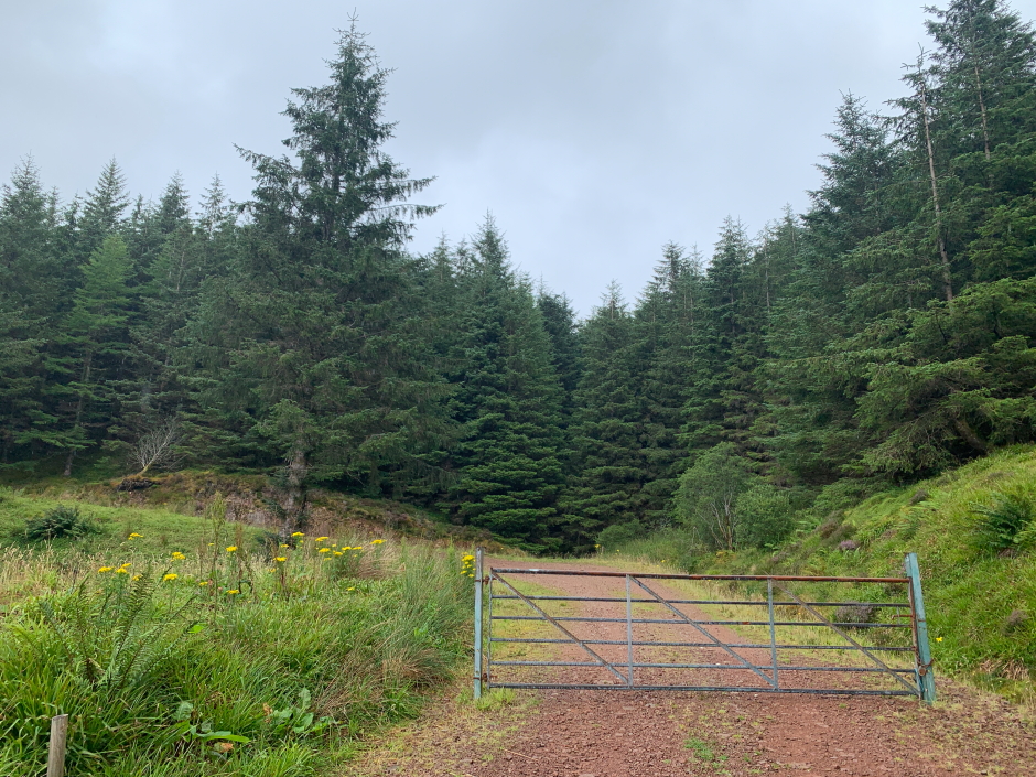
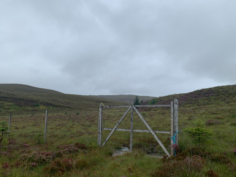
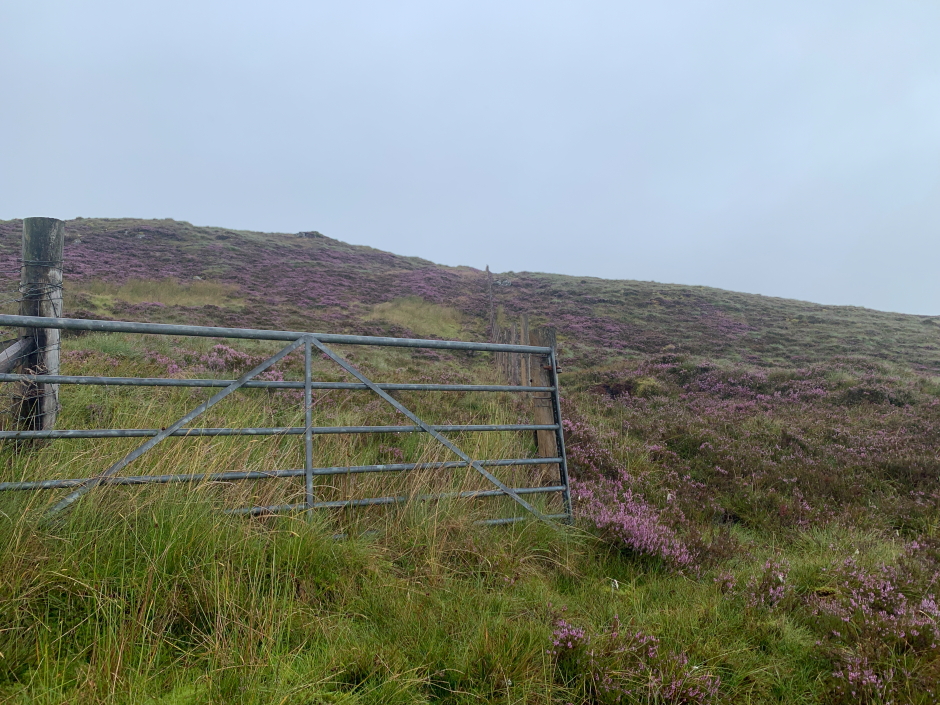
Beyond the forest, you will come to a gate which provides access to open moorland.
Gate beyond forest:
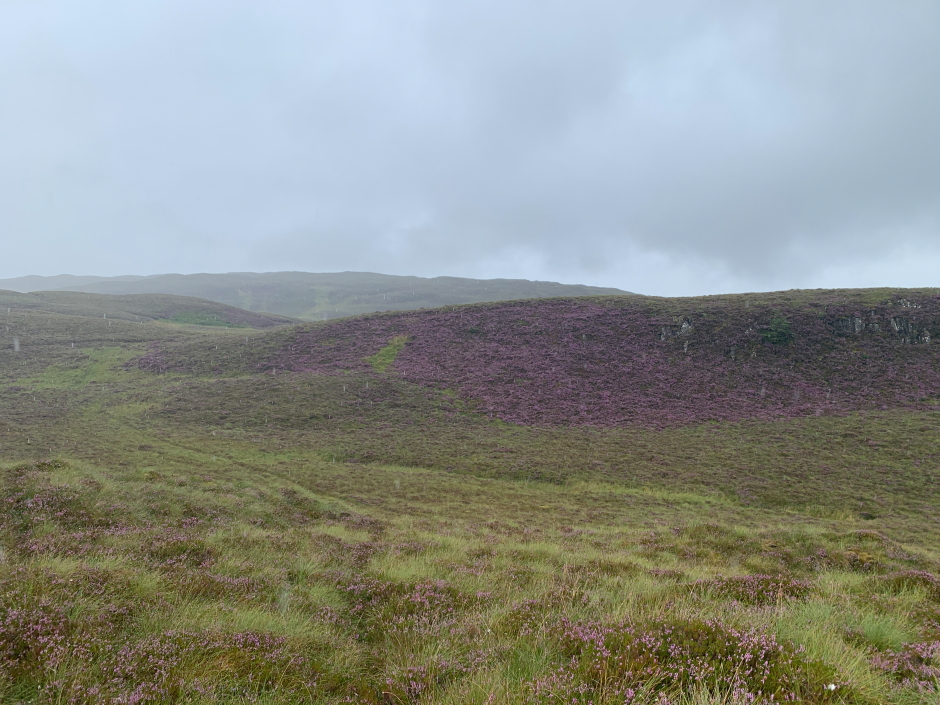
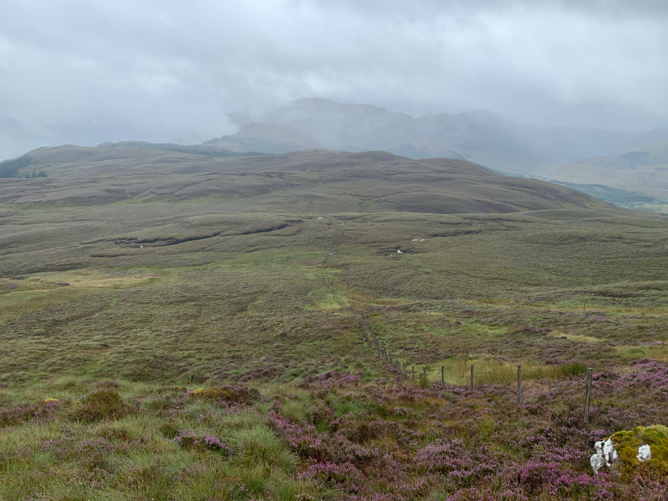
Beyond the gate, I opted to follow a faint ATV track for around 1km.
Looking towards Beinn a' Chuirn:

After as spell of heavy rain, the terrain was fairly wet underfoot. I undertook today's walk in a brand new pair of Meindl Burma Pro boots so there was little chance of them leaking.
Enroute to Beinn a' Chuirn:
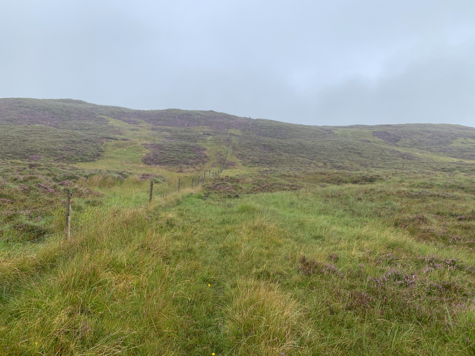
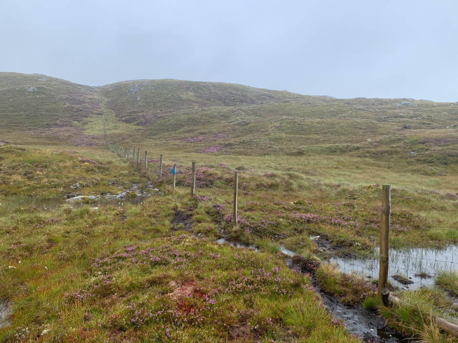
After about 1km, I decided to abandon the ATV track which was now very faint and instead follow the fenceline. The fenceline can be followed to a short distance from the summit. In poor, misty conditions like today, just follow the fence.
Follow the fence:
If following the fence you should come to a gate. If you go through, or climb over, the gate, you will save yourself the need to have to climb over a fence a short distance beyond.
Gate on way to Beinn a' Chuirn:
Looking back:
The ground is very undulating. As soon as you make some progress going up, you then go back down, then up, then down ...
Continue following the fence:
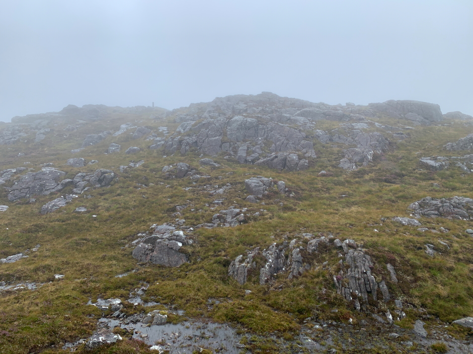
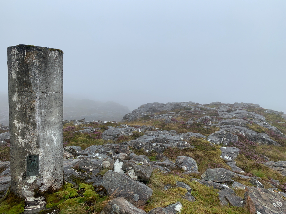
This may well be a fantastic walk with great views on a good day but today, walking in mist, I would say the walk was not great. It was a relief to spot the trig point but a thought to have to return the same way.
Summit trig point in sight:
On reaching the summit, I stopped to take a few photographs before returning via approximately the same route.
At the summit of Beinn a' Chuirn:
Fleeting view during return:
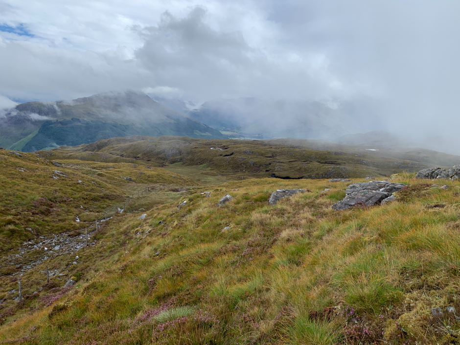
At last a view during the return:

During the return, I opted to follow the fence for a little longer hoping it might make the return easier. It didn't. I would recommend following the ATV track to begin with then the fence and then the same in reverse.
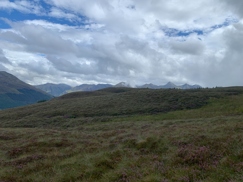
Glen Shiel hills in distance:
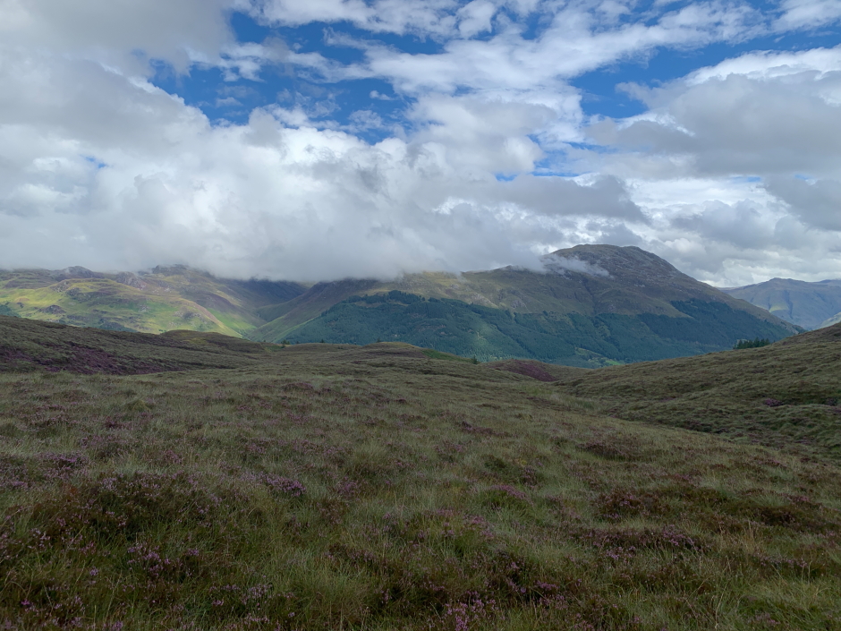
View during return:
Back down the ATV track: