
Date: Wednesday 30th August 2023
Company: Just myself
Distance: 5.4km, Ascent: 310m
Time: 1Hr 50Mins
After a week of miserable wet and windy weather, it was great to finally ascend a small hill this afternoon. For several years I have had five Marilyns remaining on Skye. This afternoon I opted to ascend one of these, Biod Mor.
On paper, this looked a nice, easy hill that I thought I would be up and down in an hour. However, as is often the case with Marilyns, they can be rough going.
Route:
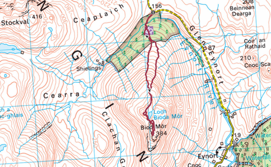
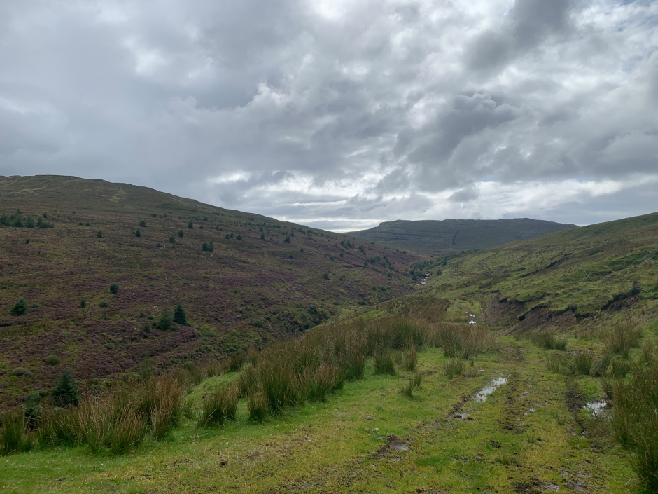
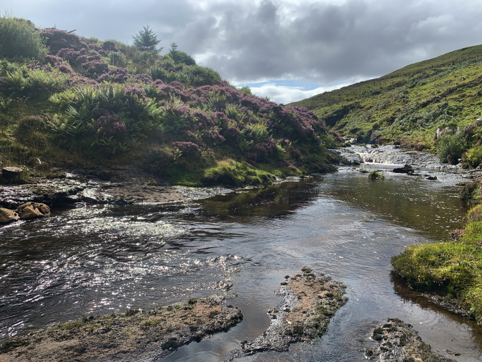
I parked just off the Glen Eynort road and commenced walking initially downhill following a track which leads to a point where it is fairly straightforward to cross the Eynort River.
Initial track leading down from parking area:
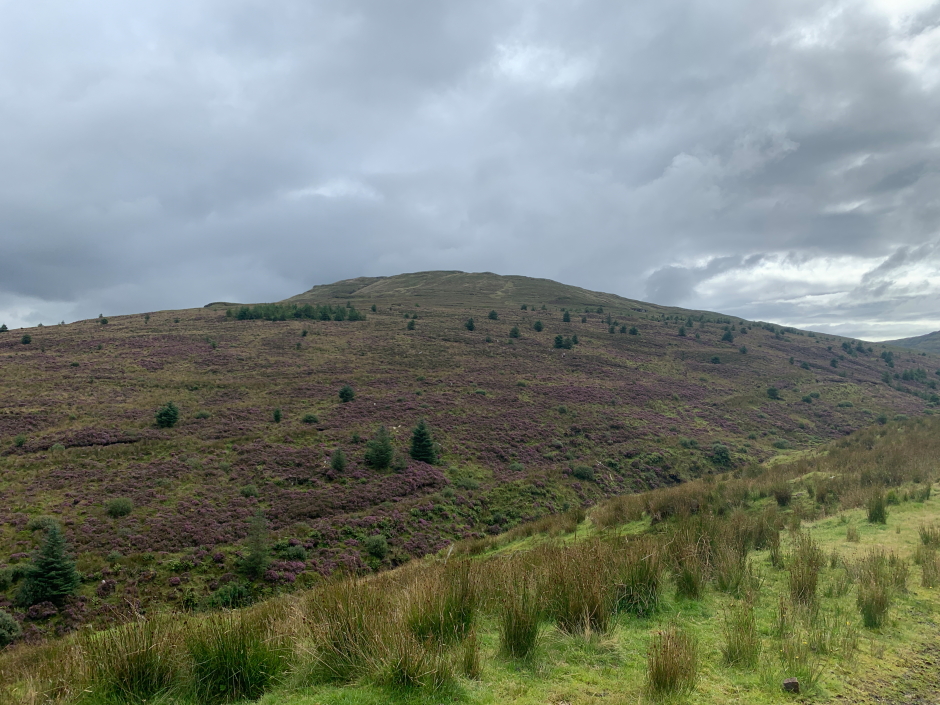
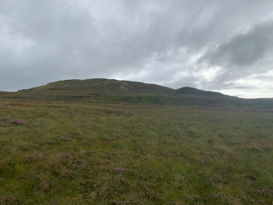
Biod Mor:
Crossing the Eynort River:
After crossing the river, the next few hundred metres of terrain were dire. My OS map suggested there was a wood with firebreaks. That wood has long been felled and the remains of stumps and branches are now well hidden under an array of tussocks and heather. Real ankle-snapping stuff!
With some relief I reached the end of what had been a wood and after climbing over an old fence got access to open moorland. The ascent of the moorland was much easier.
Ascending Biod Mor:
Looking back towards the van parked in Glen Eynort:
Biod Mor has two main peaks, a 376m peak and a 384m peak. I opted to climb both.
Looking towards the 376m top of Biod Mor:
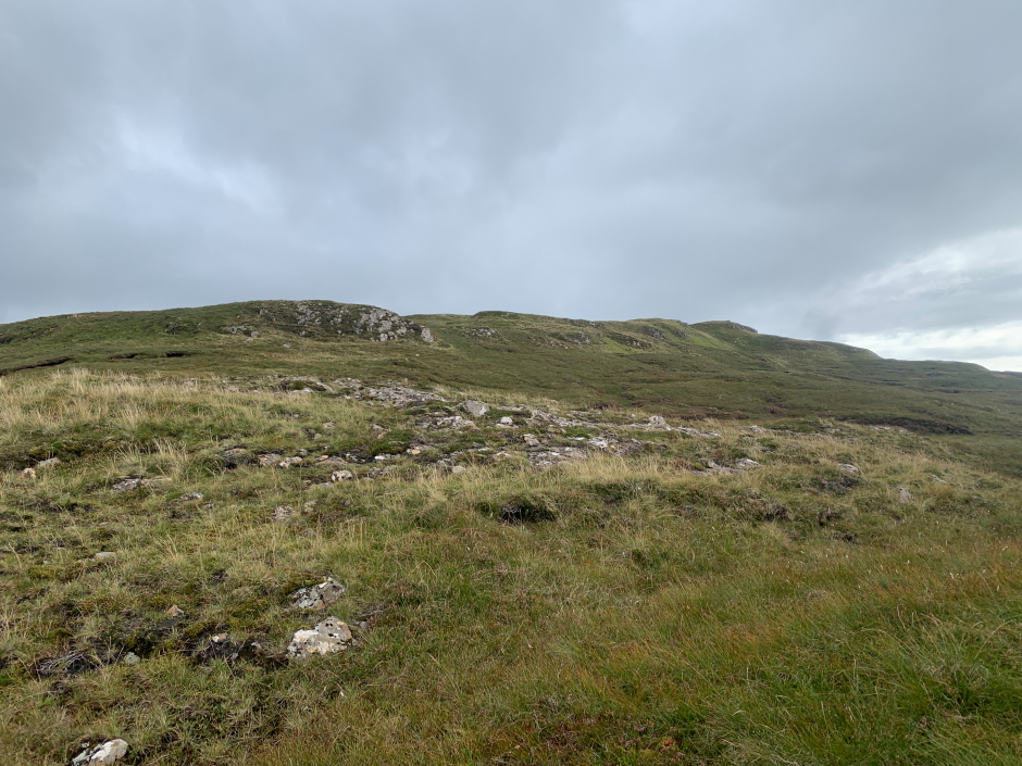
Ascending the 376m top:
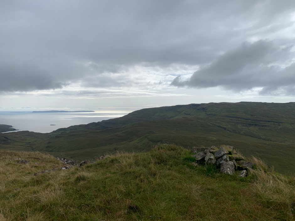
The Isle of Canna can be seen from the 376m top and from the summit.
At the 376m top of Biod Mor:
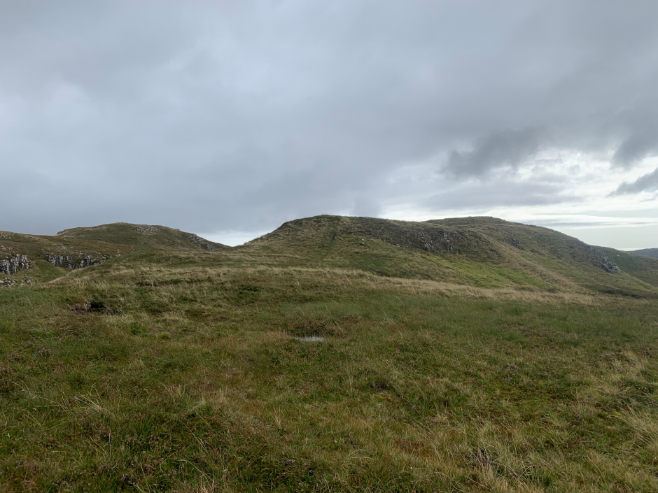
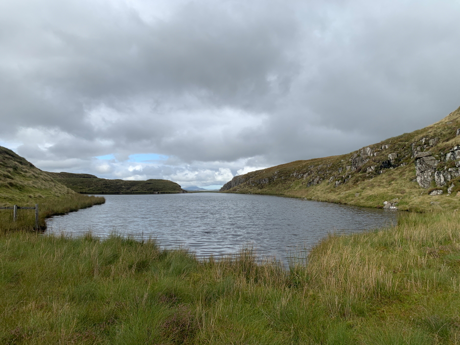
From the 376m top I descended to the col next to Loch Bioda Mor and after climbing another fence made my way up to the summit.
Looking across to the summit of Biod Mor from the 376m top:
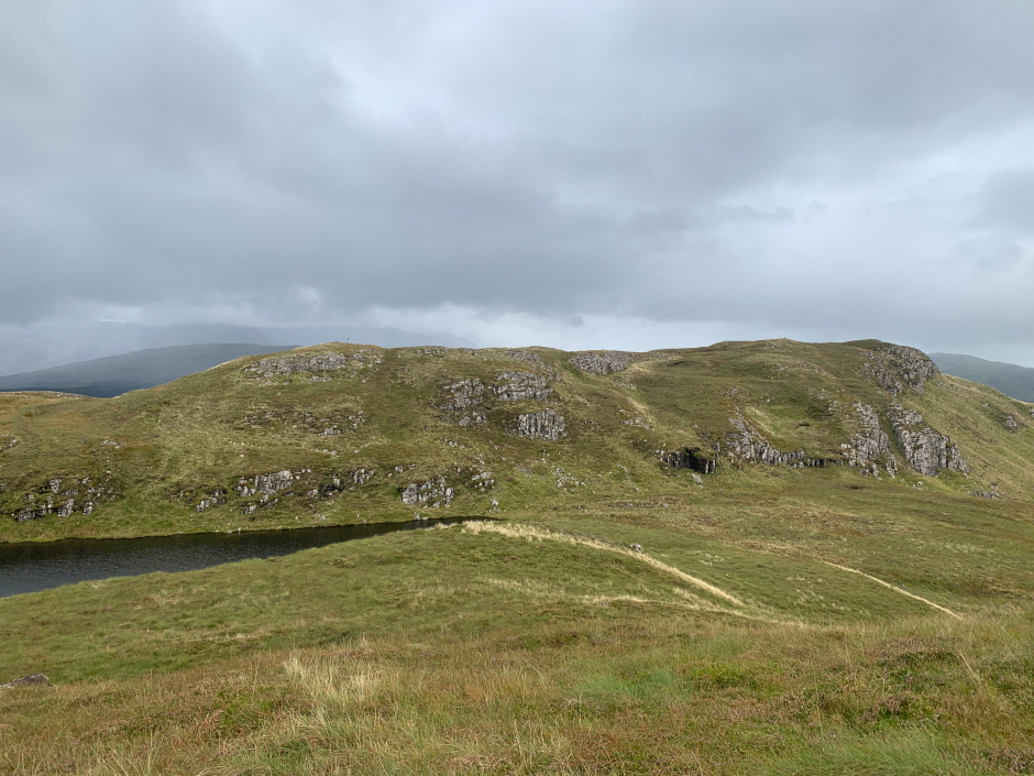
Loch Bioda Mor:
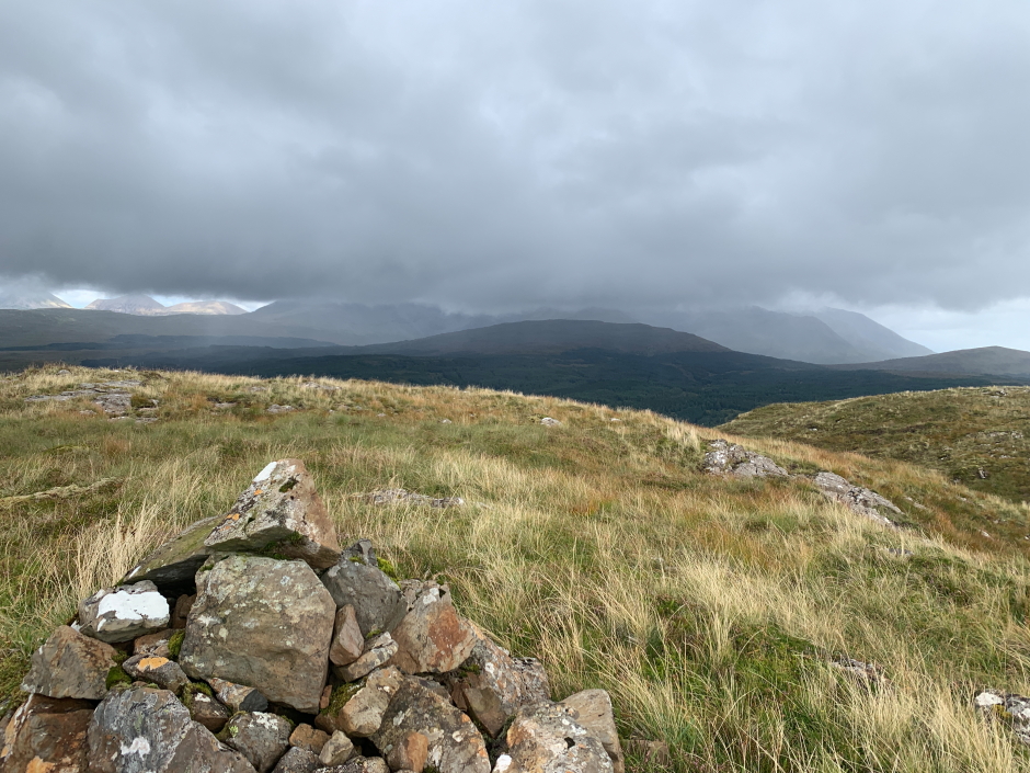
On reaching the summit, I wasn't convinced the cairn was the high point (it likely is) so just in case it wasn't I also visited the neighbouring lumps and bumps.
At the summit of Biod Mor:
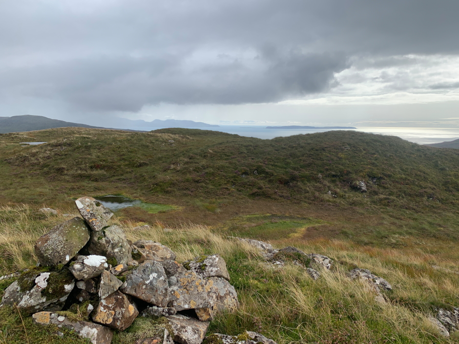
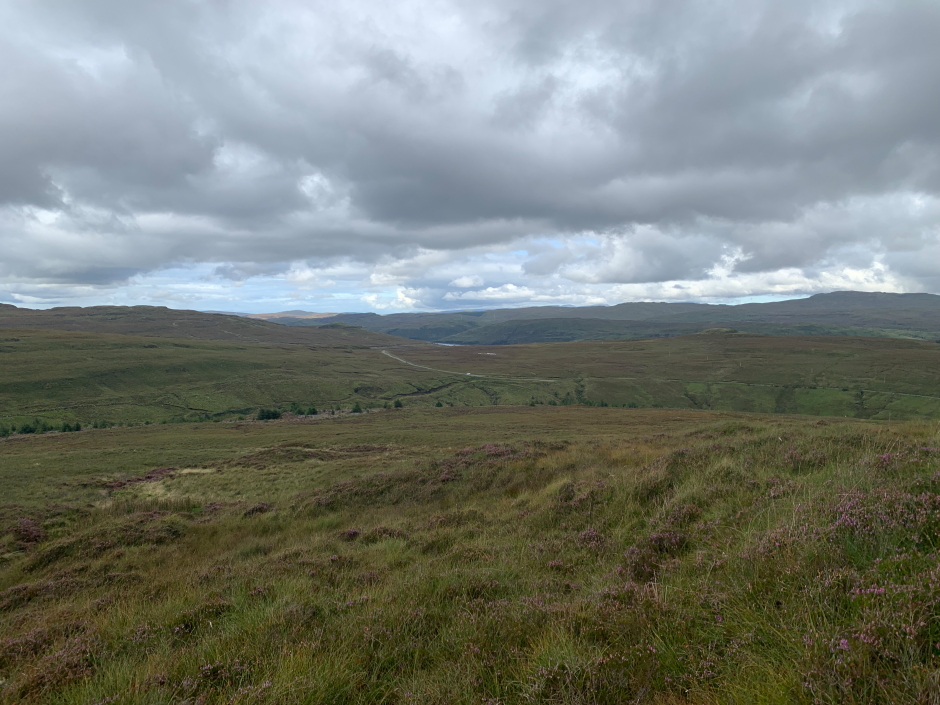
On a good clear day, this hill would provide great views across to the Cuillin. This wasn't a good clear day, so views were somewhat limited.
Distant Black Cuillin covered in cloud:
From the summit I returned back towards the 376m top, this time skirting the summit, before returning back to the van. The section of felled wood that had been difficult in ascent proved even more cumbersome in descent as I failed to pick as good a line through the debris.
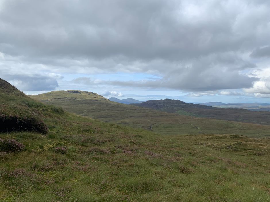
Macleod's Tables visible through the gap:
Nice to ascend another island Marilyn.