
Date: Thursday 28th December 2023
Company: Just myself
Distance: 16.9km, Ascent: 665m
Time: 4Hrs 40Mins
Thanks to Storm Gerrit, the only mountain I tackled yesterday was a mountain of food. Unfortunately, the forecast for today wasn't much better but I couldn't face a second day stuck in my hotel. I therefore decided to ascend a low Wainwright; Troutbeck Tongue looked ideal.
The MWIS forecast suggested, "50-60mph winds, challenging wind even at mid elevations, showery rain merging into more constant precipitation. Heavy bursts, risk of hail, isolated thunder. Fairly extensive cloud, little if any sun and windchill between -12 to -15C." With the exception of no thunder, it was correct - thoroughly minging!
MWIS forecast:
Route:
The drive to the starting point was 'interesting'. Significant rain on the road with rain falling at times so heavy that the wipers struggled to clear the windscreen. As I was driving, I was thinking I must be mad.
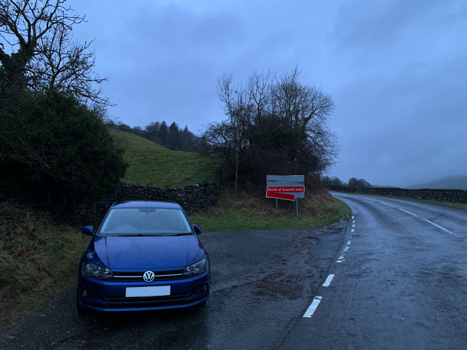
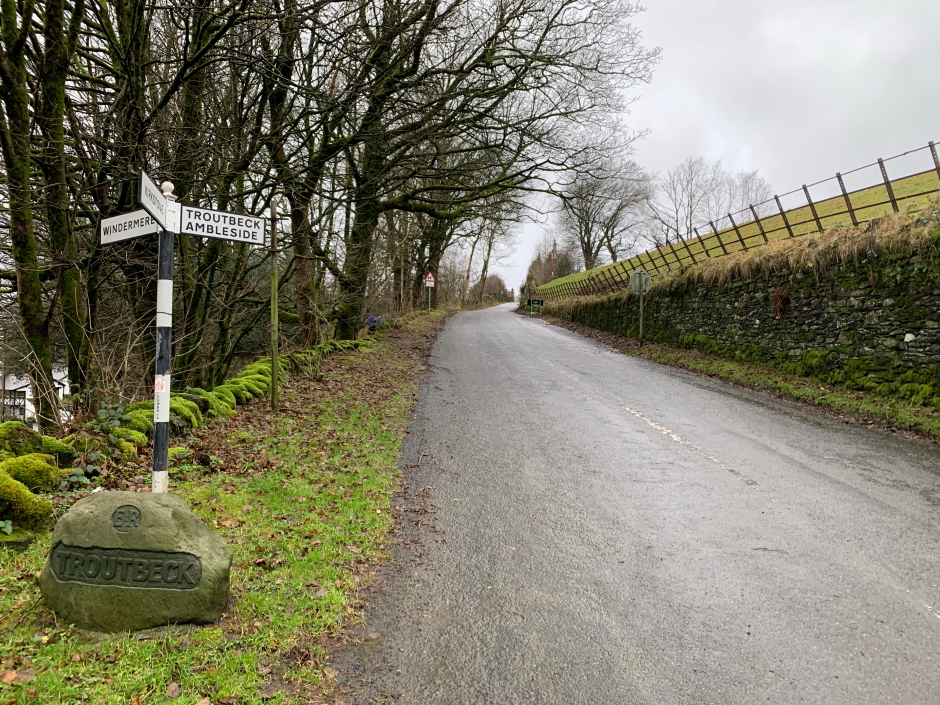
On arrival at Troutbeck, I parked in a small off-road area at Town Head.
Parking at Troutbeck Town Head:
Once suited and booted, I set off towards Troutbeck Tongue. As the walk was low and fairly short, I had a good drink before setting off and didn't bother carrying my rucksack.
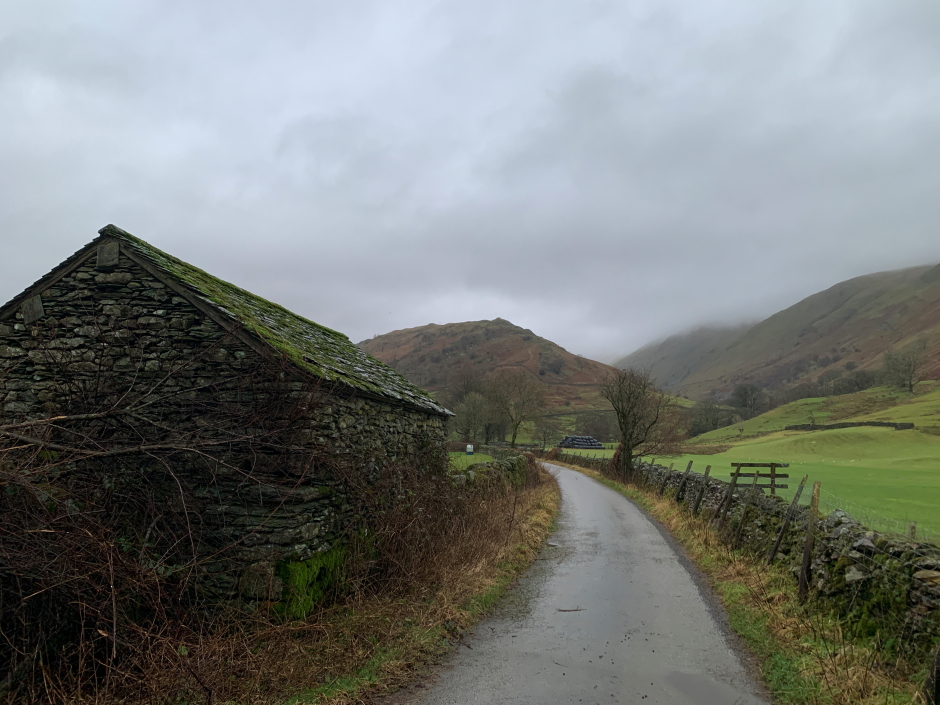
As I walked along Ing Lane, I passed a guy with three dogs. One of the cocker spaniels was real friendly
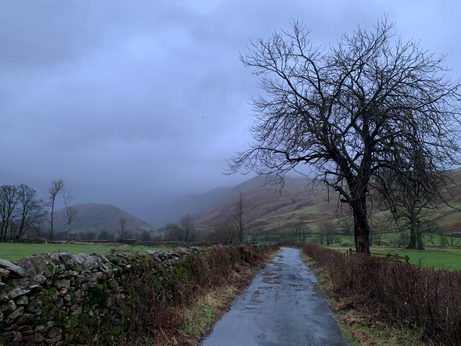
Ing Lane:
As Ing Lane is a tarmac road, I made fast progress towards the base of Troutbeck Tongue.
Approaching Ing Bridge:
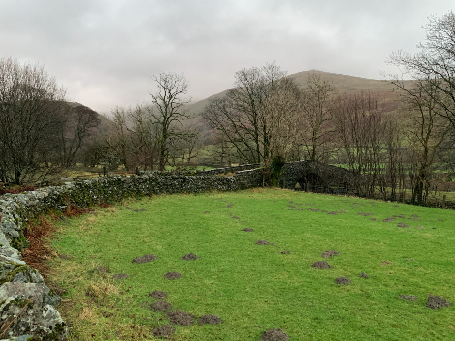
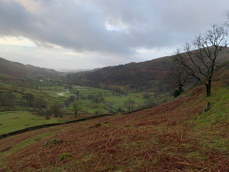
Troutbeck Tongue beyond Ing Lane:
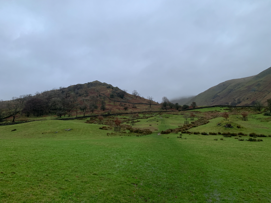
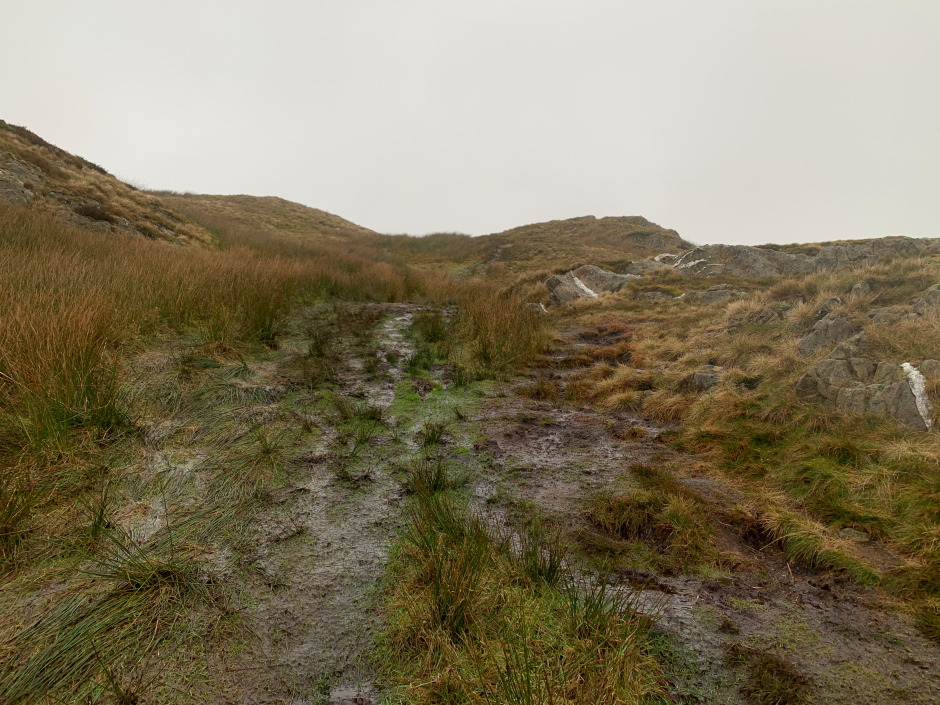
On reaching a wooden waymarker for 'High Street', I followed a sodden grassy track through a field.
Crossing a grass field to reach the base of Troutbeck Tongue:
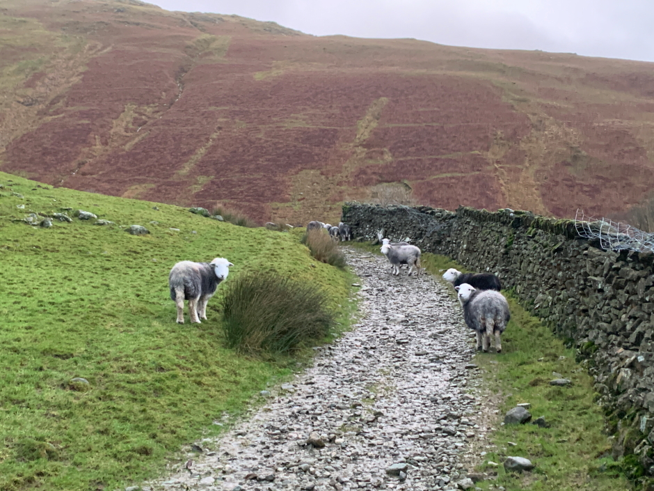
Herwicks sheltering from the wind:
I then commenced my ascent of Troutbeck Tongue.
Looking back along Trout Beck:
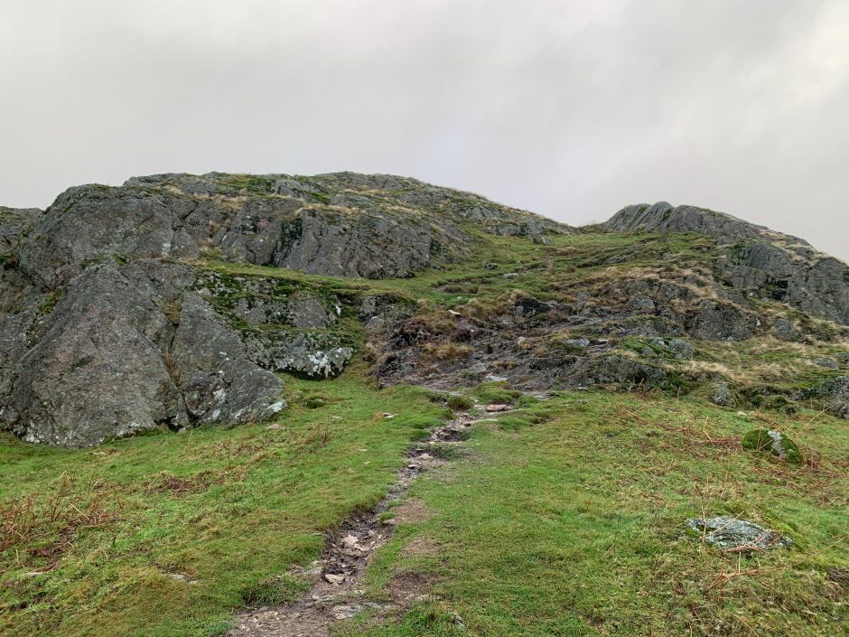
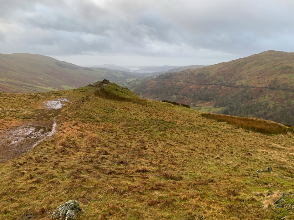
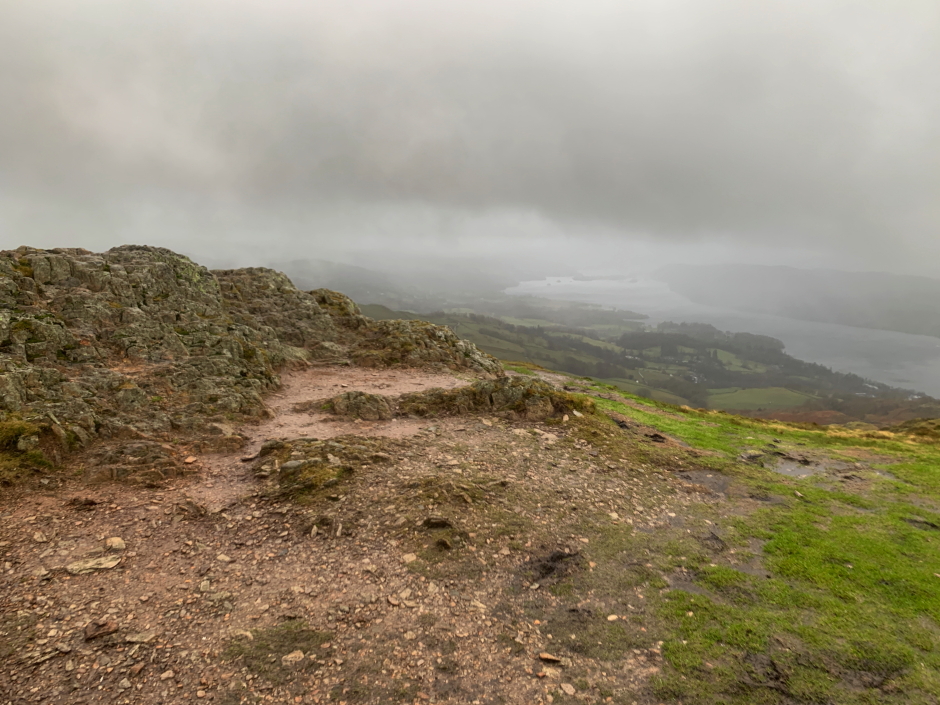
Troutbeck Tongue is so low, it didn't take long to reach the flat summit area.
Ascending Troutbeck Tongue:
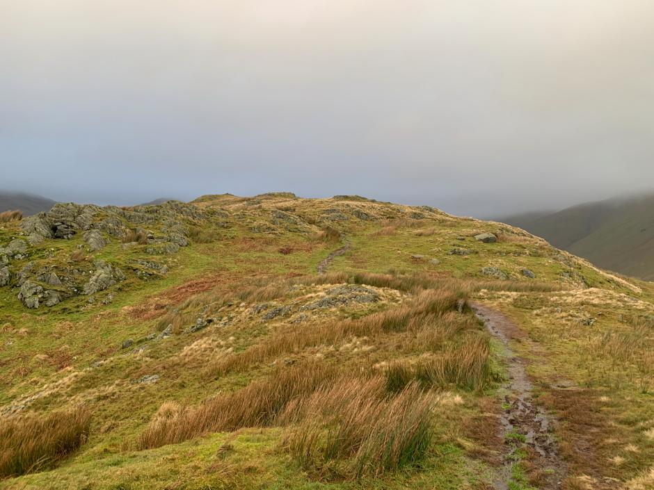
View towards the summit:
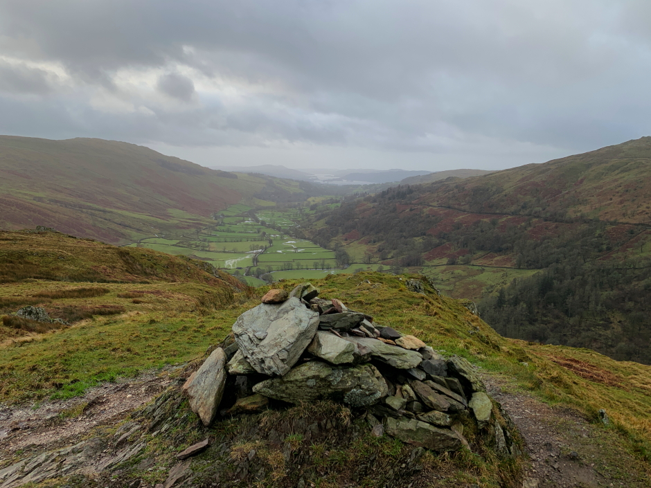
I first visited the cairn and then the grassy knoll which is apparently the summit.
At the cairn atop Troutbeck Tongue:
Looking back to the cairn from the summit grassy knoll:
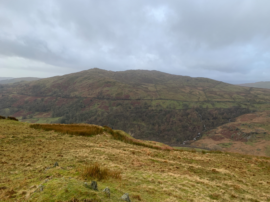
It had been my intention to only ascend Troutbeck Tongue however seeing nearby Wansfell made me realise it was not far off and could be ascended from the same starting point without having to move the car.
Wansfell from the summit of Troutbeck Tongue:
I returned via the same route.
Trout Beck:

Before also ascending Wansfell, I took a short detour back to the car to have a good drink and some food. I would then also ascend Wansfell without carrying a rucksack.
From the parking area, I followed the roadsign marked 'Troutbeck Ambleside'.
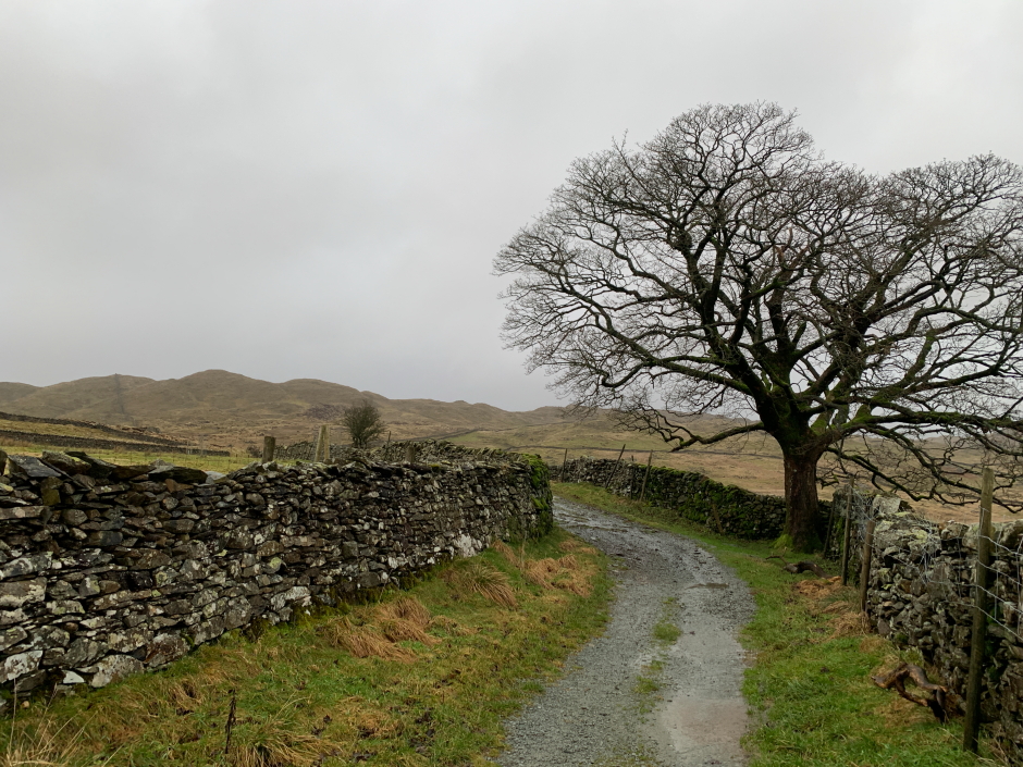
Ascent to Troutbeck:
High Green:
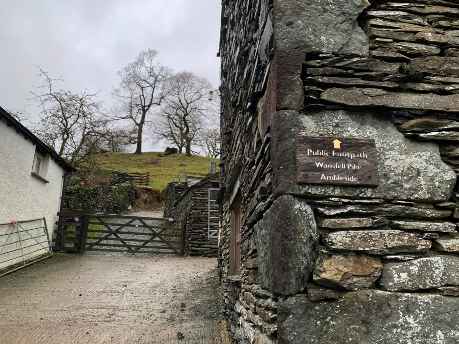
On reaching the sign marking the start of the public footpath to Wansfell Pike and Ambleside, I set off along Nanny Lane.
Start of Nanny Lane leading to Wansfell:
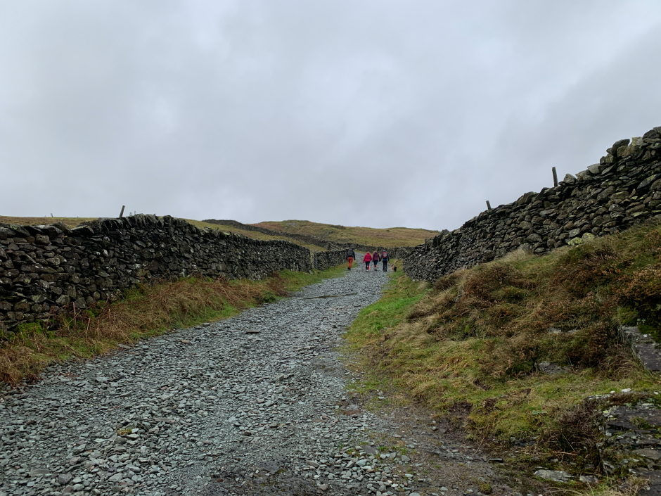
Nanny Lane is a motorway of a path. While I didn't encounter anyone ascending Troutbeck Tongue, there were numerous walkers ascending Wansfell.
Nanny Lane:
I was surprised to find that most walkers were ascending Wansfell Pike rather than Wansfell (Baystones). Wansfell Pike is five metres lower than Wansfell (Baystones).
I decided to first ascend Wansfell (Baystones) and then traverse across to Wansfell Pike.
Wansfell beyond Nanny Lane:
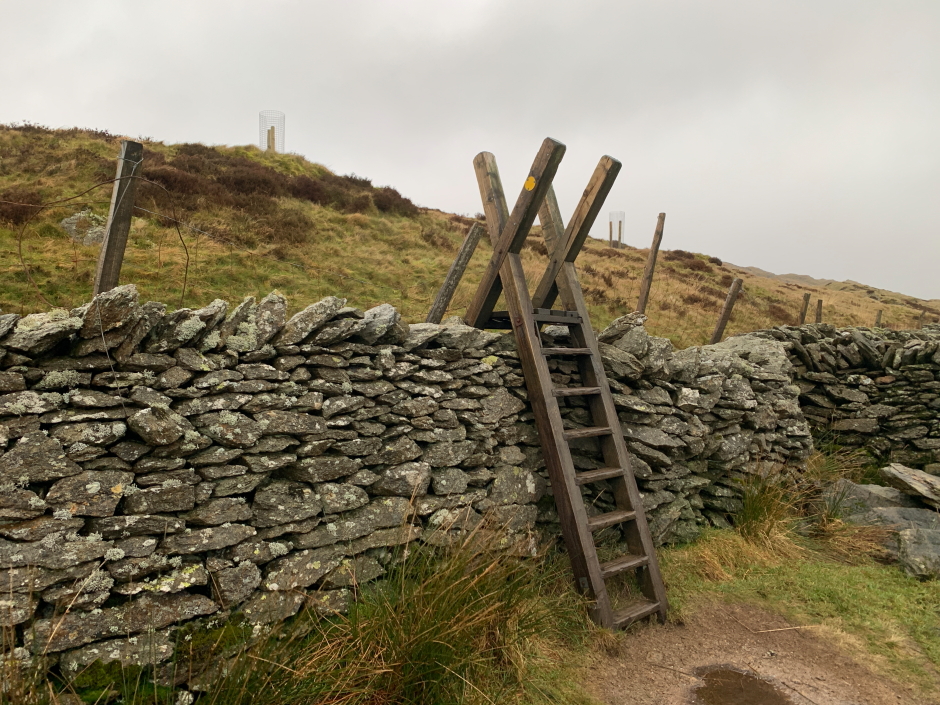
Cross the stile to reach Wansfell (Baystones):
Beyond the stile, the terrain was fairly wet underfoot.
Wet terrain:
Shortly before reaching the summit, the heavens opened. The rain was now torrential.
I visited the summit cairn and then continued along the ridge to the 487m top marked on the map.
At the summit of Wansfell (Baystones):

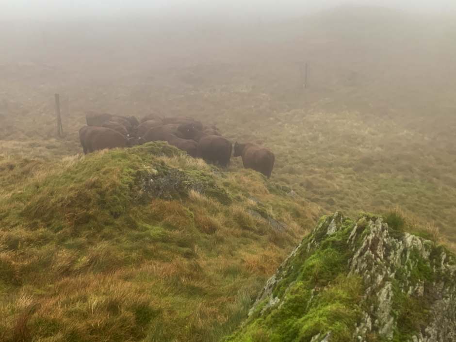
I was suprised to find cattle taking shelter literally next to the 487m point marked on the map.
Cattle sheltering from the wind just below the 487m point marked on map:
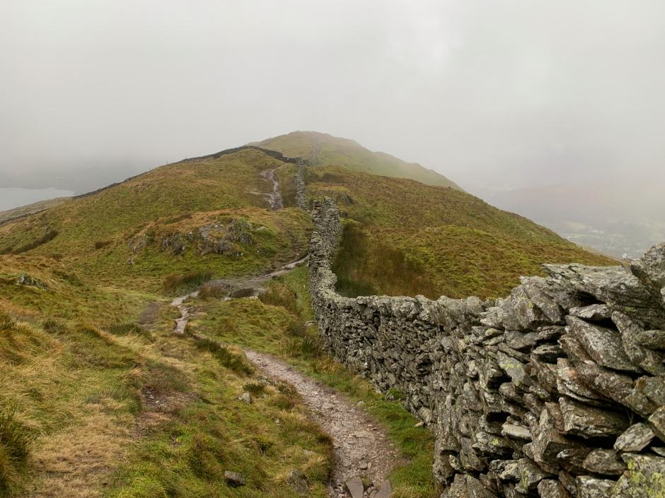
I then returned to the summit and followed the wall out to Wansfell Pike. As well as being wet, it was really windy. I was glad not to be much higher.
Following the wall towards Wansfell Pike:
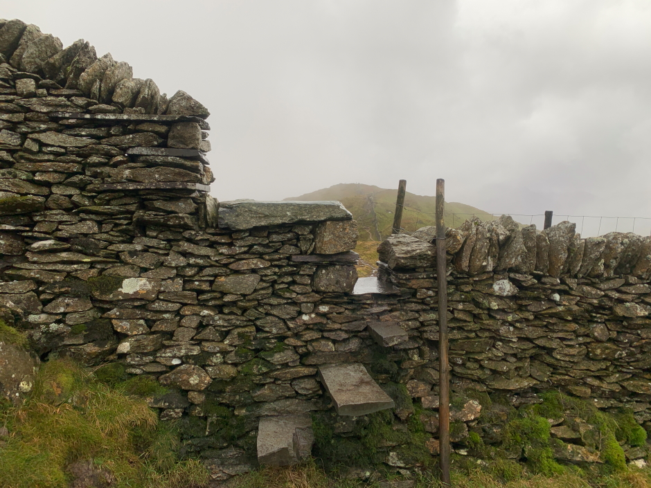
Cool stile:
On reaching the summit of Wansfell Pike, the rain had changed to hail and thanks to the wind this was somewhat exfoliating.
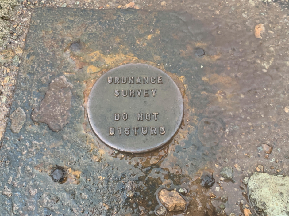
At the summit of Wansfell Pike:
Ordnance Survey plate at the summit:
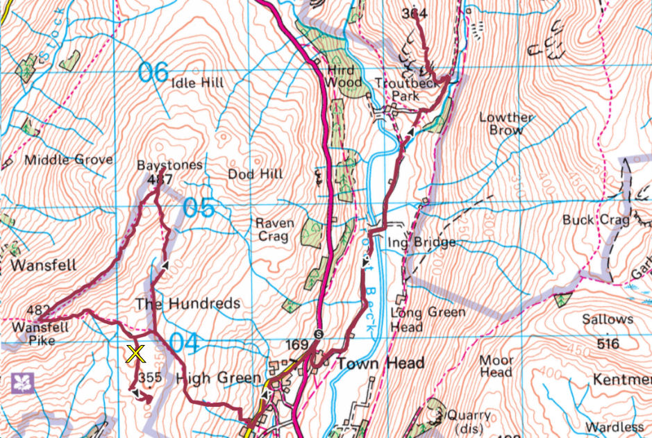
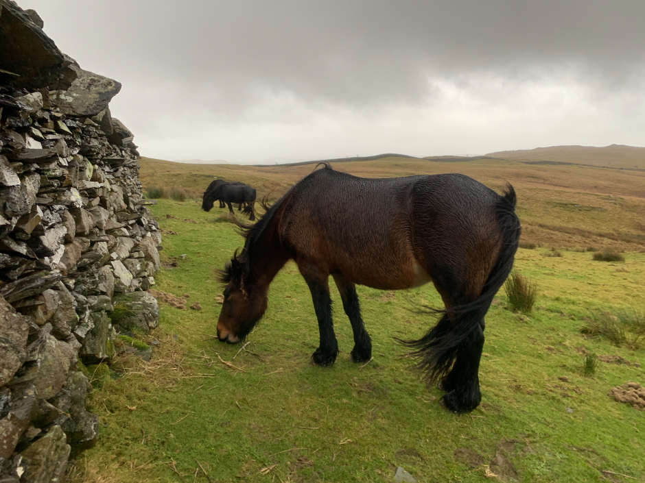
During the descent, I managed to miss a track junction and didn't realise my error until walking about 500m in the wrong direction. On seeing Windermere in front of me, I realised my error and then backtracked to the correct route. On the plus side, thanks to going the wrong way, I met three horses. I have marked the map with a yellow "X" where I went wrong.
Horses:
Once back onto Nanny Lane, I returned to the car as per my inbound route.
Mortal Man:

On reaching the car, despite wearing waterproofs, I was soaked to the skin. Two wainwrights ascended but can't say the walk was enjoyable.