
Hill: Beinn Damhain
Date: Saturday 19th July 2014
Company: Just myself
Distance: 12.6km, Ascent: 725m
Time: 3Hrs 50Mins
With an Amber MetOffice Weather Warning issued across much of England and a Yellow MetOffice Weather Warning issued across much of Scotland, while I was keen to get out on the hill today I was not keen to be out in thunderstorms. I therefore reviewed several forecasts before setting off and coming up with a plan.
- As ever, pessimistic MWIS was all doom and gloom - widespread thunderstorms.
- Sky TV Weather was suggesting thunderstorms moving north but uncertainty as to where these would occur.
- An "Oh Yah Hoor Sir"
- The MetOffice hourly forecast however suggested that Heavy Rain would not arrive until 13:00.
I therefore concluded that I would have circa four hours available to undertake a walk before the storm front arrived. I opted to ascend Beinn Damhain. I parked at the start of the track at Glen Falloch where there is room for two or three cars.
Click here to see a map of the route undertaken
I last walked this track in February 2010 en-route to Meall an Fhudair. This was one of my favourite walks of 2010.
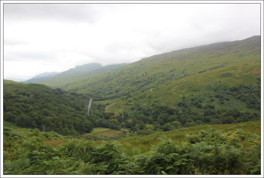
During the ascent of the track, I stopped briefly to photograph the railway line from the bridge.
Railway line below track:

Looking down to the A82:
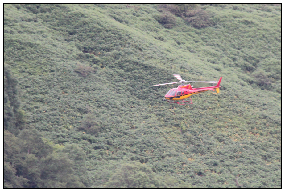
During the ascent of the track, a small helicopter took off from Glen Falloch.
Helicopter:
Nature's calendar was telling me that Autumn is well on its way: Foxglove gone to seed, lots of Bog Asphodel and Heather and Thistles in bloom.
Thistle:

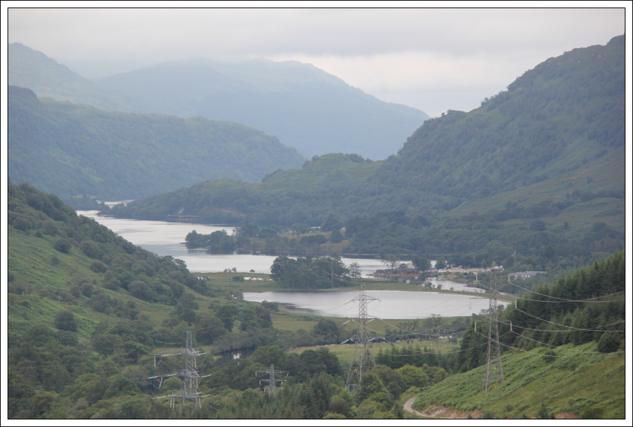
The view towards Loch Lomond, as seen during the ascent, is somewhat spoilt by the line of pylons and power station.
Geal Loch and head of Loch Lomond:
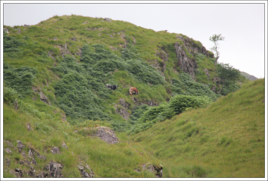
As I progressed along the track, several fresh-looking cowpats reminded me of passing cattle on my previous visit. However, today the cattle were well away from the track and seemed to be undertaking a bit of mountaineering!
Mountaineering cattle:
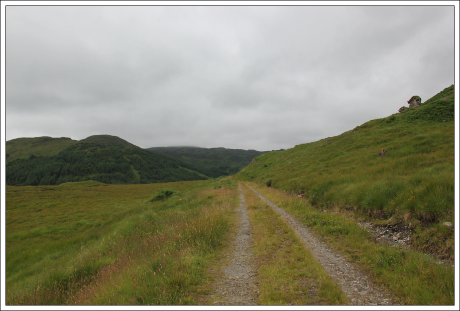
At the track junction, I took the left fork heading towards Beinn Damhain.
Track leading towards Beinn Damhain:
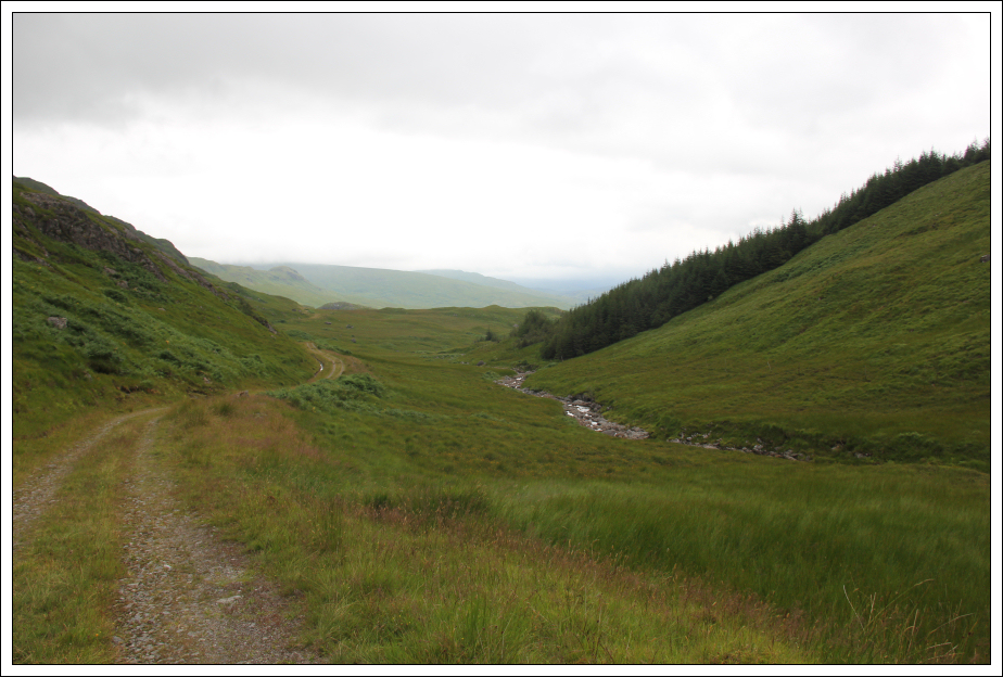
Track leading towards Beinn Damhain:

Looking back along the track:
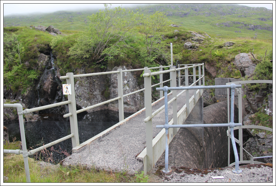
At the end of the track I found a small hydro scheme.
Small hydro scheme at end of track:
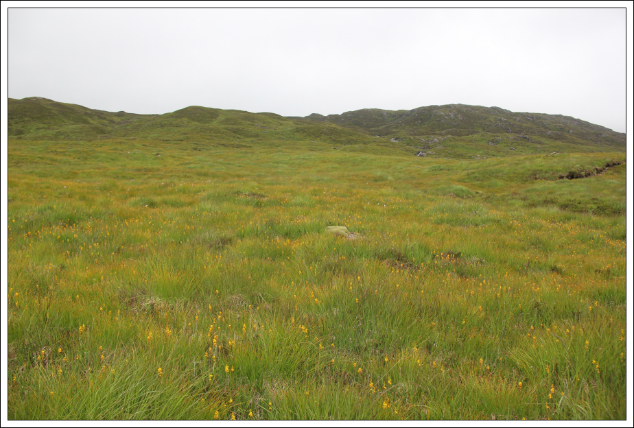
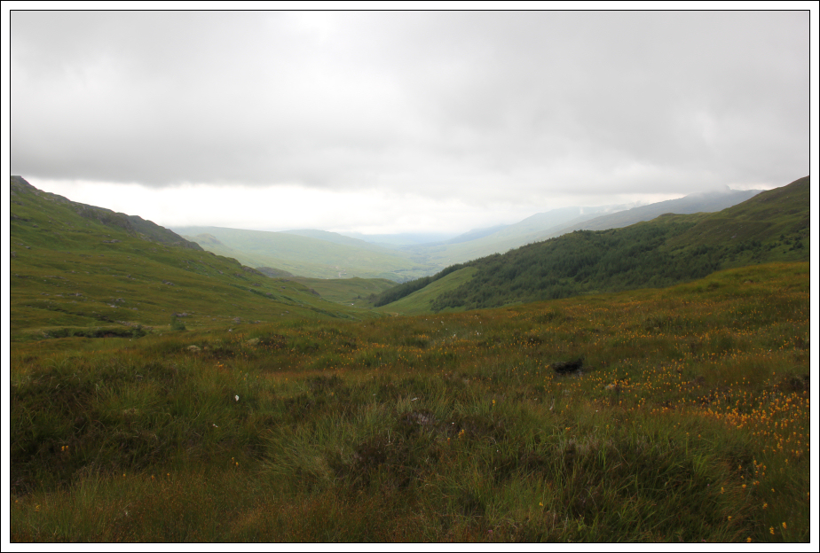
Beyond the track, I followed intermittent sections of faint path alongside the Allt Arnan. I passed tens of thousands of Bog Ashpodel plants.
Looking towards Beinn Damhain:
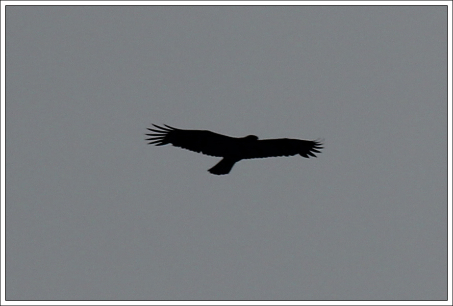
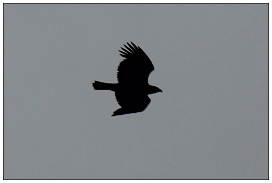
A large raptor flew past as I progressed up the hill. I am not great at distinguishing between Eagle and Buzzard silhouettes. My guess is that this was a Buzzard.
Buzzard?:
Buzzard?:
Looking back:
Small waterslide on Allt Arnan:
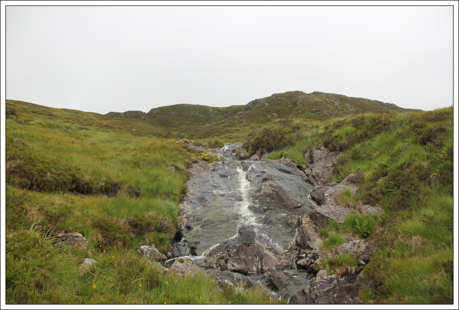
Allt Arnan:

Beyond the waterslide I crossed the Allt Arnan and made my way over and round a number of knolls.
Heading for Beinn Damhain:
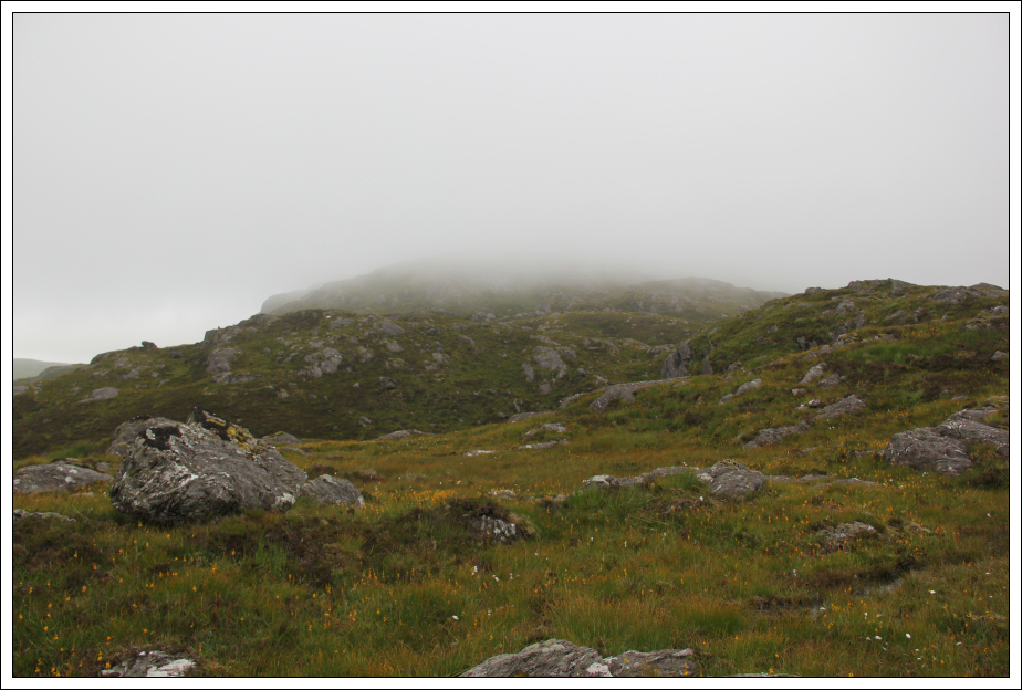
Once into the clag my camera mostly stayed in its case.
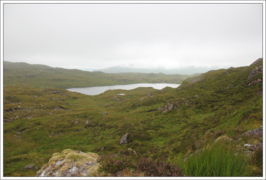
Lochan Beinn Damhain:
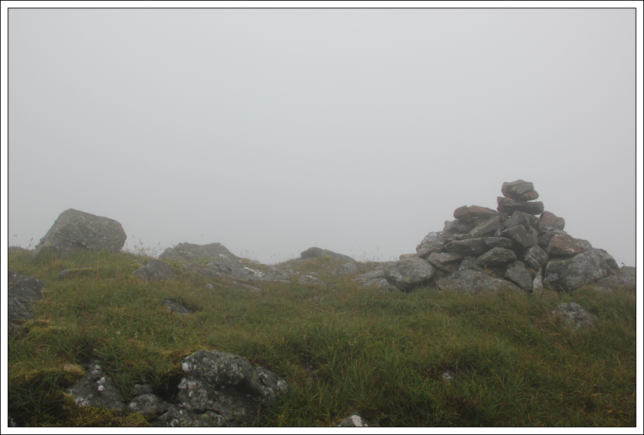
On reaching the summit, after taking a photo, I initially returned via the same route.
Summit rock and cairn of Beinn Damhain:
However, on reaching the cloud line I could see a nice grassy slope to descend avoiding all the knolls encountered during my ascent. On reaching the small hydro scheme, I followed the track back to the start of the walk.
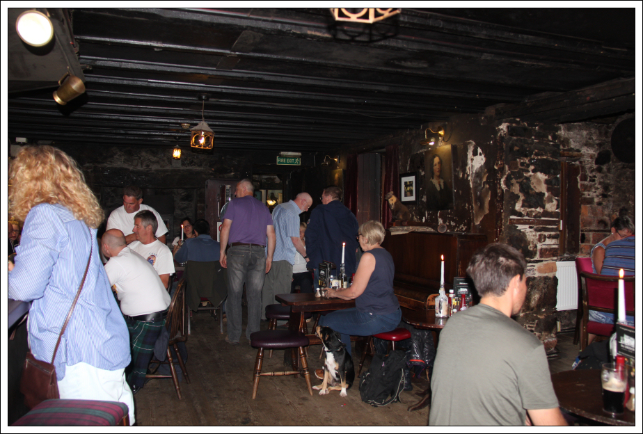
I got back to the car by 12:15. Perfect timing for a visit to the Drovers Inn. It was good to see that the Drovers Inn hasn't changed much since my last visit umpteen years ago. It does however now have guest wi-fi! I was impressed with the good service and pleasant bar staff.
The Drovers Inn, Inverarnan:
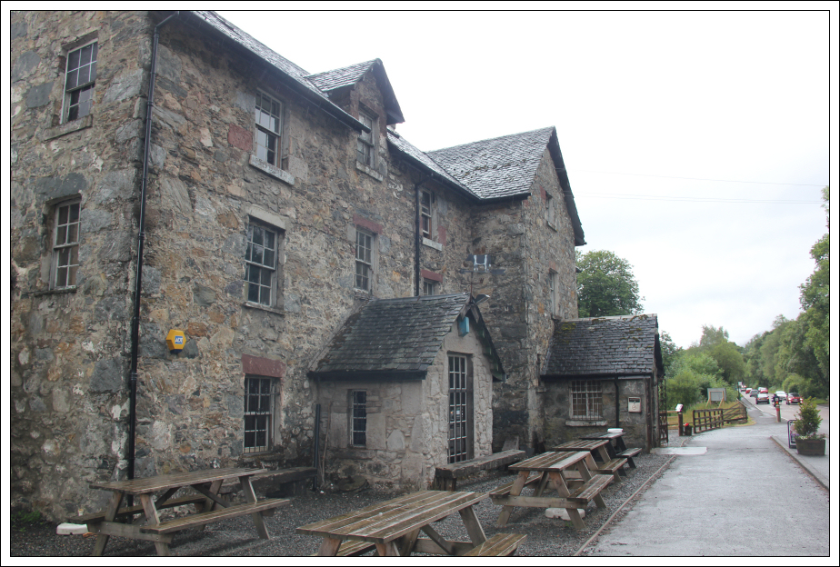
The Drovers Inn, Inverarnan:
A good half-day salvaged despite several poor forecasts